Mean State
Download Data |
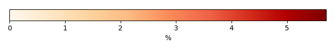
Period Mean (original grids) [%] |
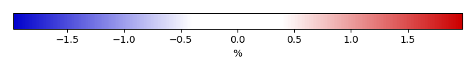
Bias [%] |
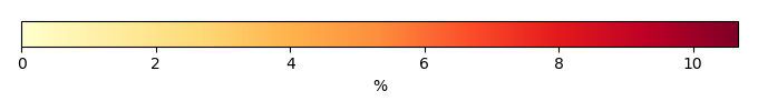
RMSE [%] |
Phase Shift [months] |
Bias Score [1] |
RMSE Score [1] |
Seasonal Cycle Score [1] |
Interannual Variability Score [1] |
Overall Score [1] |
|||
|---|---|---|---|---|---|---|---|---|---|---|---|---|
| Benchmark | [-] | 0.265 | ||||||||||
| Co2-284.7 | [-] | 0.221 | 0.0338 | 0.843 | 2.27 | 0.749 | 0.329 | 0.744 | 0.578 | 0.546 | ||
| Co2-867.2 | [-] | 0.323 | 0.174 | 1.04 | 2.31 | 0.641 | 0.301 | 0.740 | 0.487 | 0.494 | ||
| Control | [-] | 0.279 | 0.112 | 0.936 | 2.31 | 0.712 | 0.309 | 0.737 | 0.541 | 0.522 | ||
| GSWP3-1901-1910 | [-] | 0.286 | 0.123 | 0.938 | 2.22 | 0.707 | 0.308 | 0.766 | 0.544 | 0.527 | ||
| Ndepp5 | [-] | 0.419 | 0.304 | 1.09 | 2.26 | 0.596 | 0.282 | 0.829 | 0.484 | 0.494 | ||
| PI-1850-1859 | [-] | 0.274 | 0.106 | 0.939 | 2.23 | 0.724 | 0.311 | 0.780 | 0.546 | 0.534 | ||
| SSP370-2090-2099 | [-] | 0.270 | 0.0998 | 0.903 | 2.30 | 0.712 | 0.315 | 0.735 | 0.570 | 0.530 | ||
| SSP370-2091-2100 | [-] | 0.259 | 0.0851 | 0.883 | 2.26 | 0.713 | 0.323 | 0.786 | 0.561 | 0.541 |
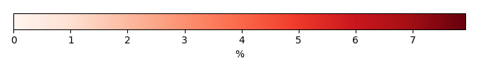
Temporally integrated period mean