
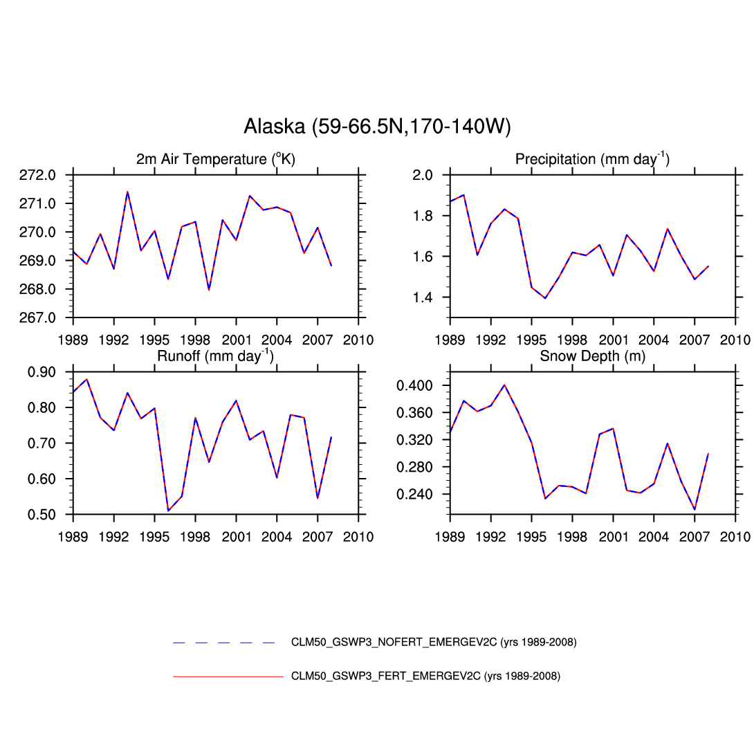
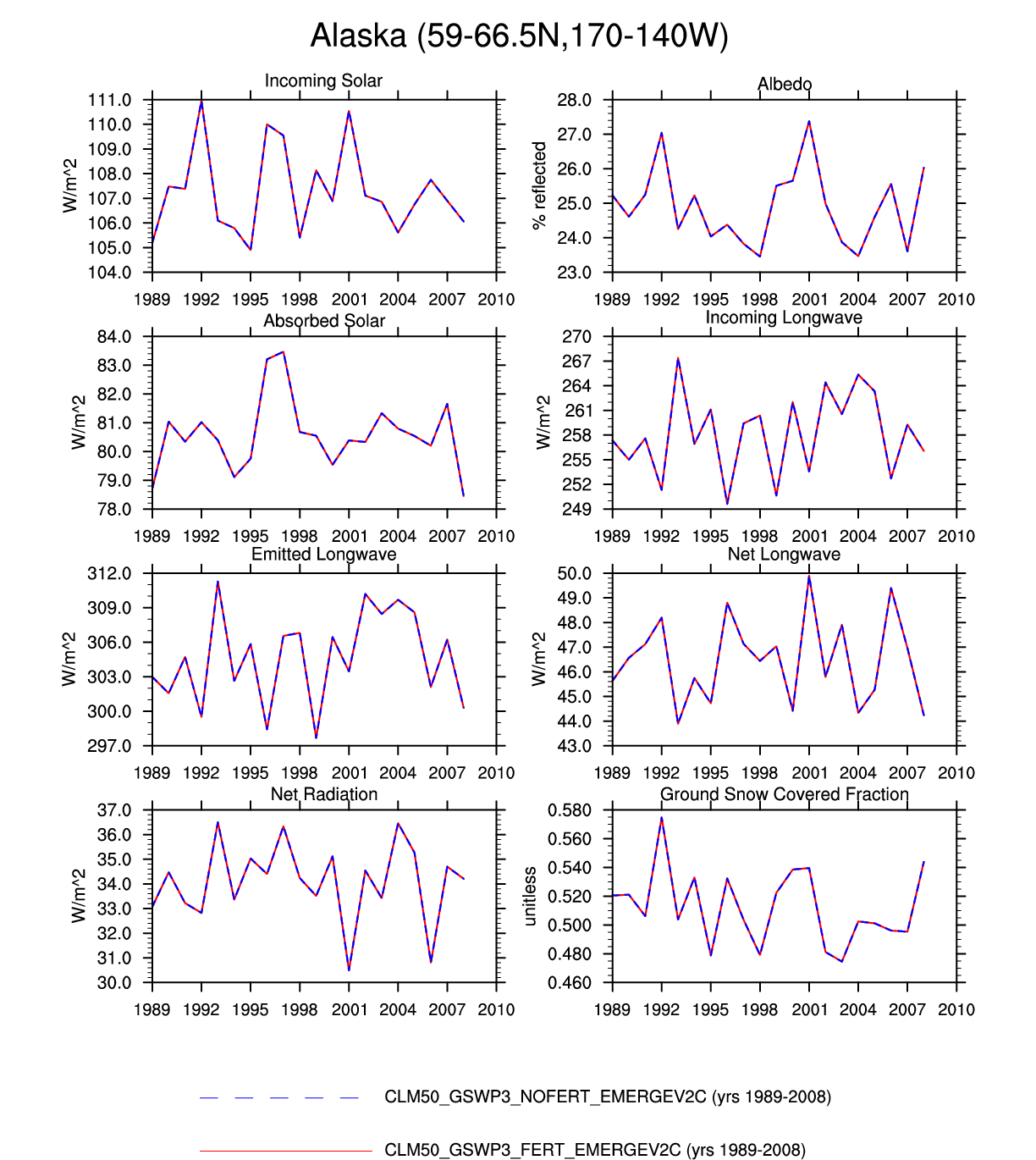
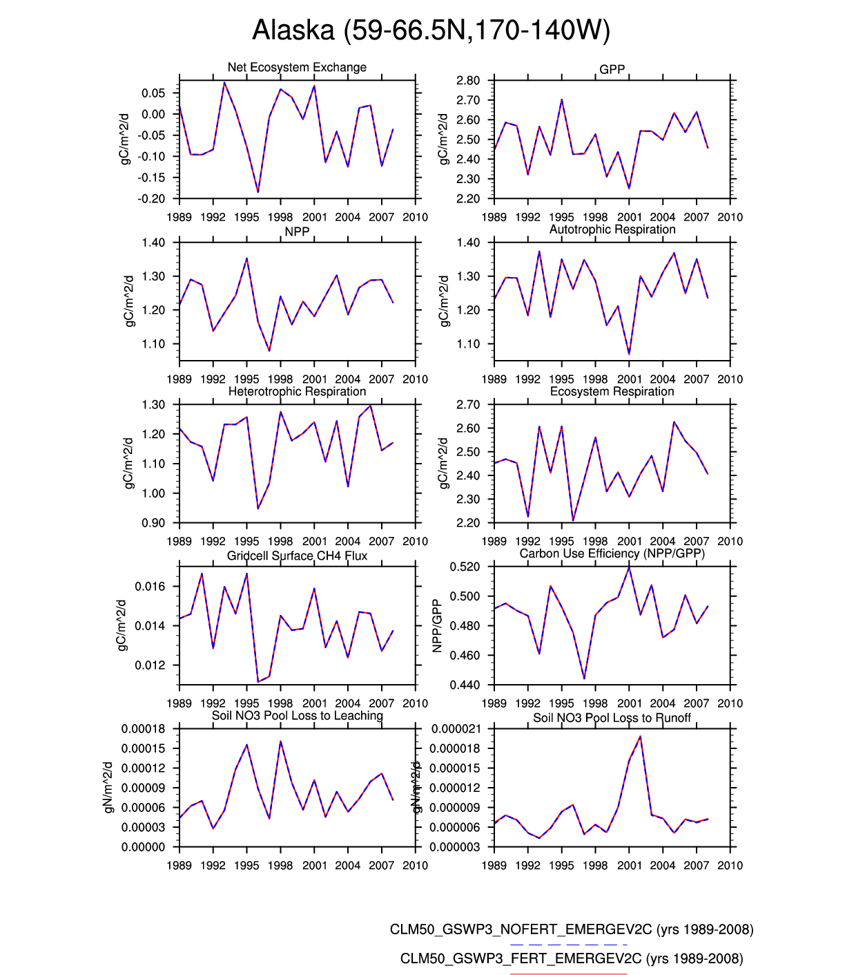
clm50_r243_1deg_GSWP3V2_cropopt_nsc_emergeV2C_dailyo_hist_1989_2007
and
clm50_r243_1deg_GSWP3V2_cropopt_nsc_nofert2_emergeV2C_dailyo_hist_1989_2007
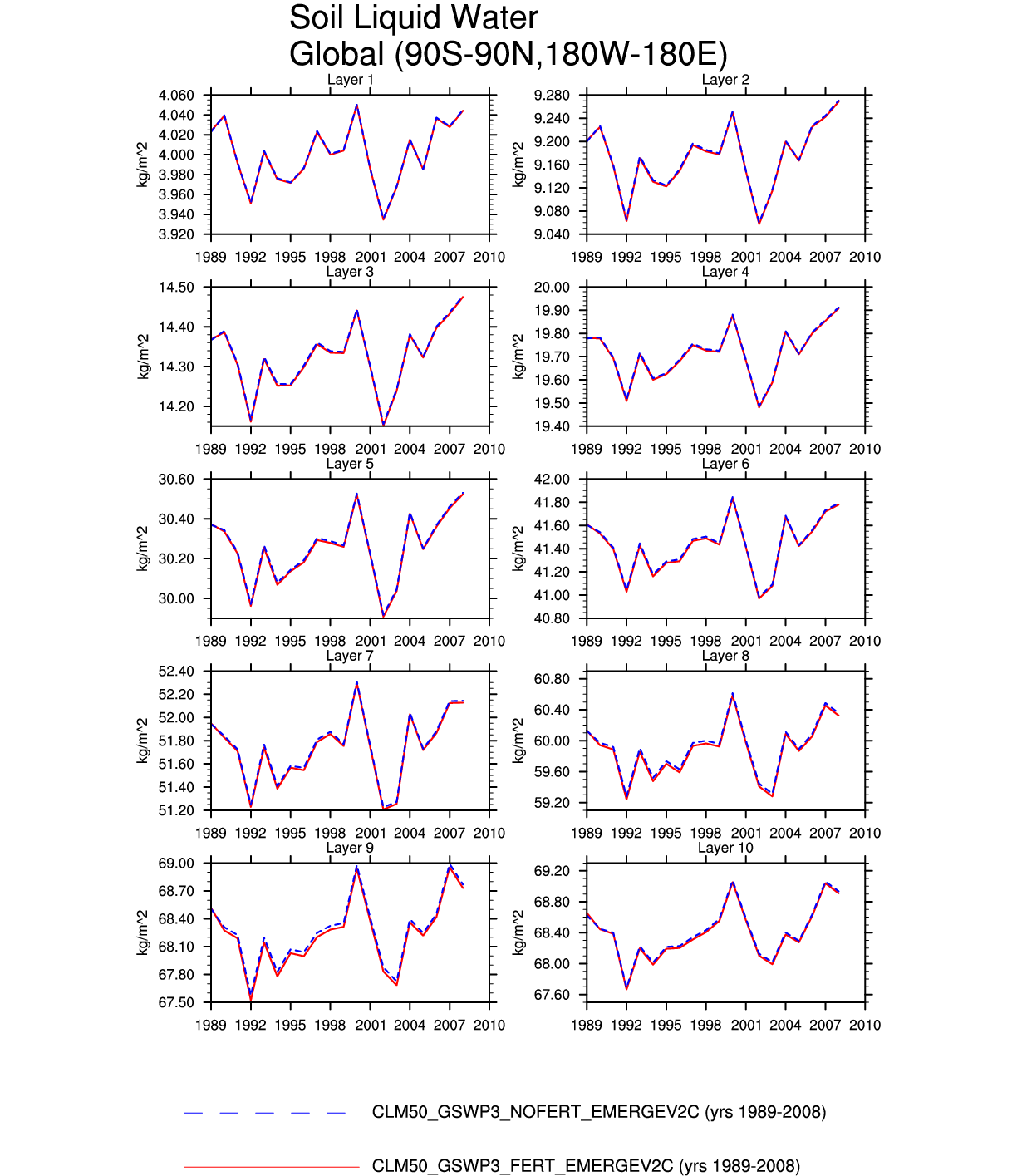
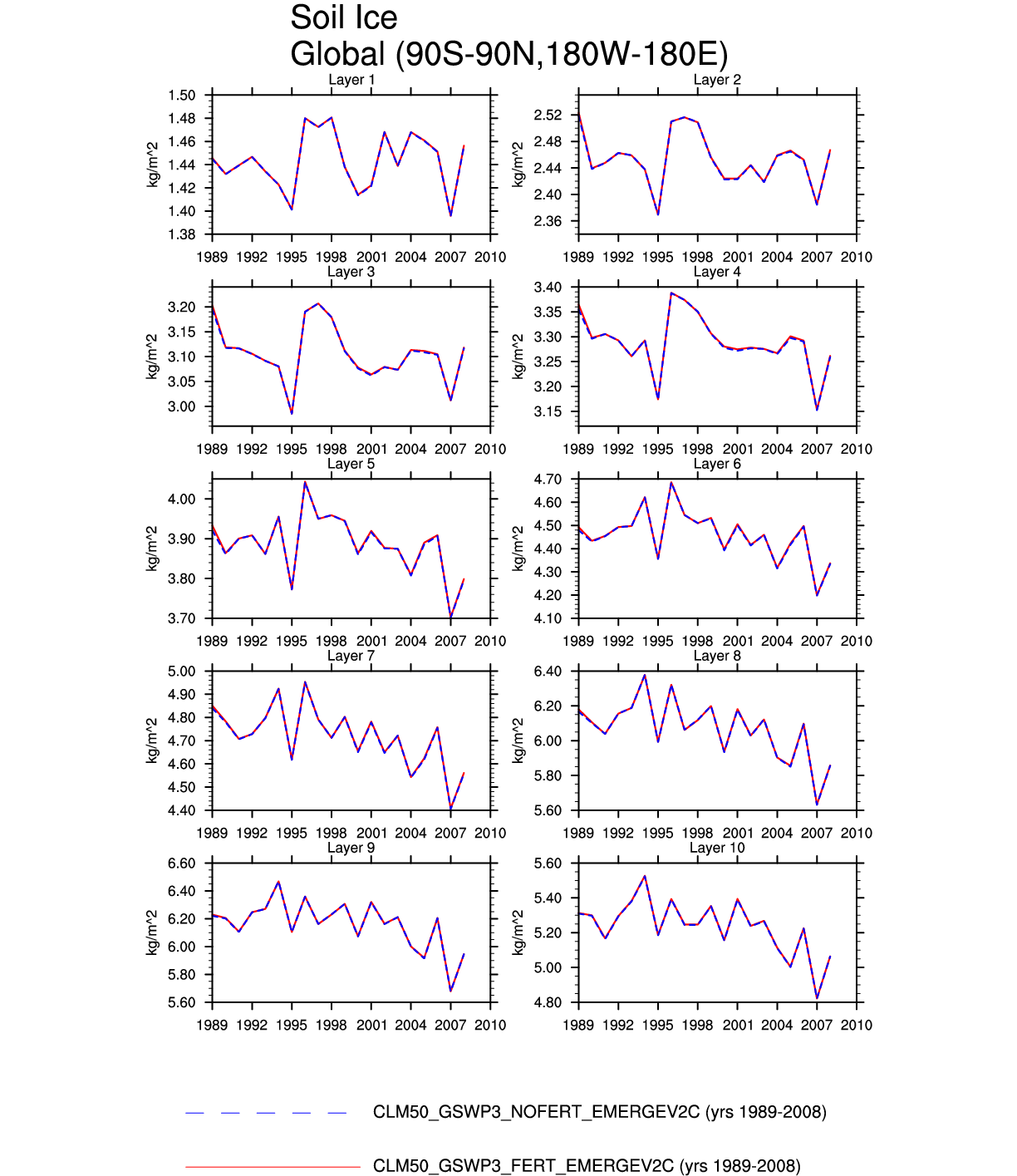
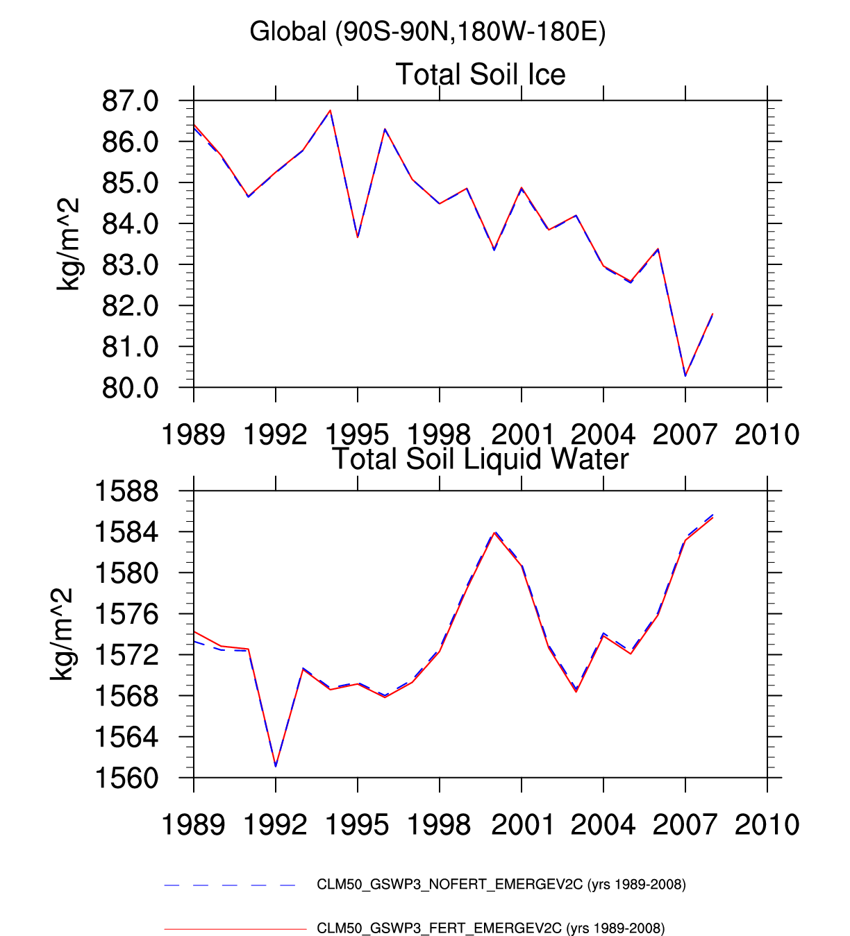
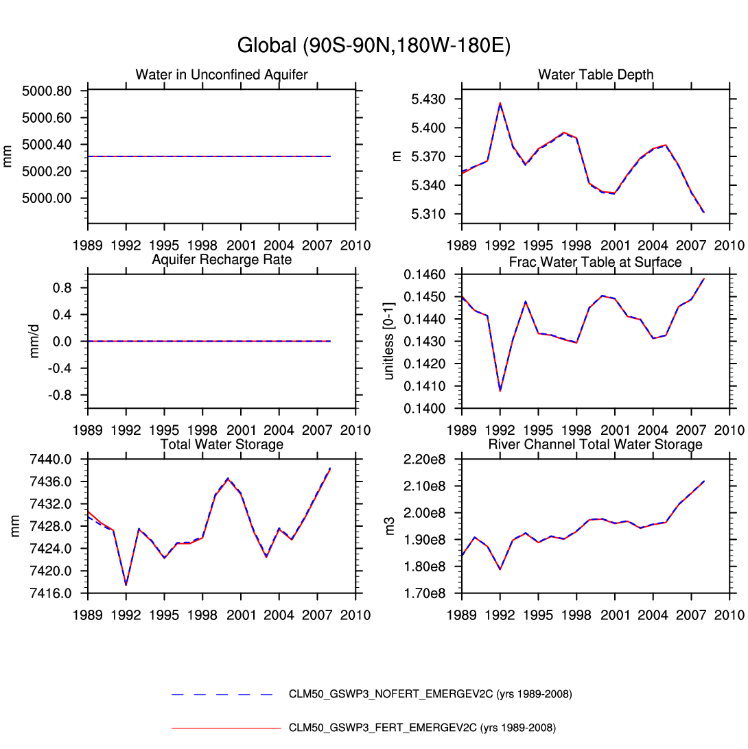
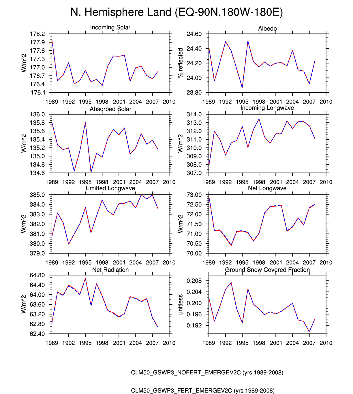
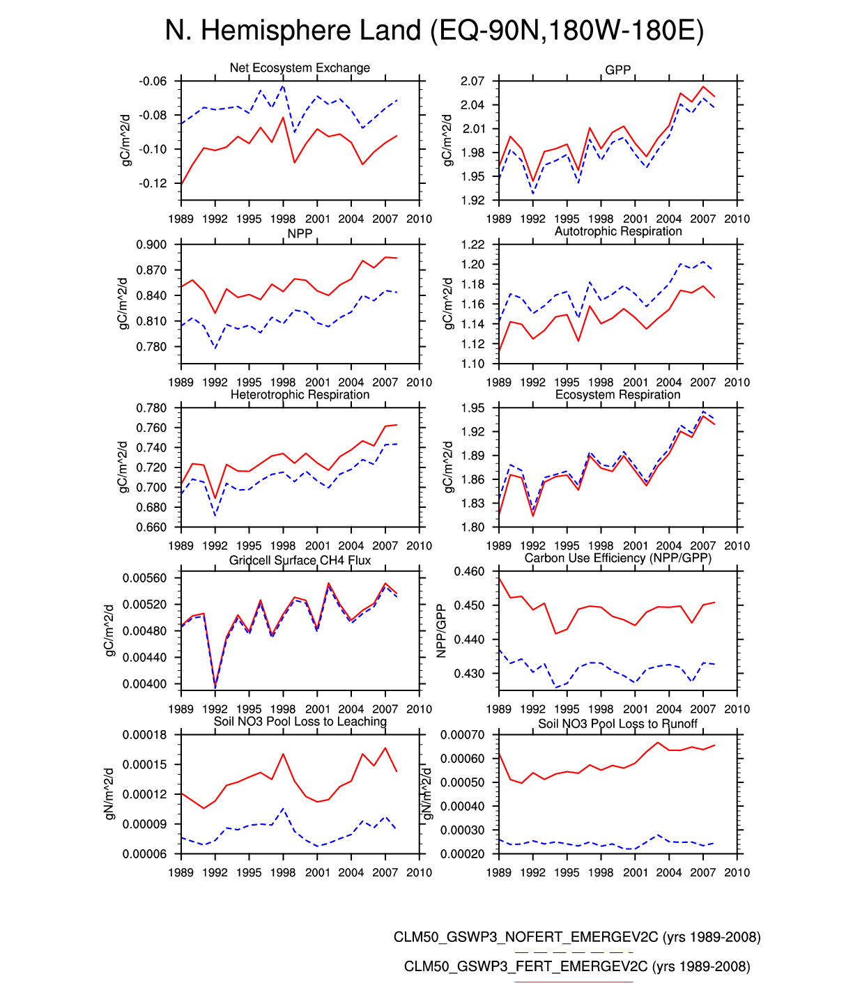
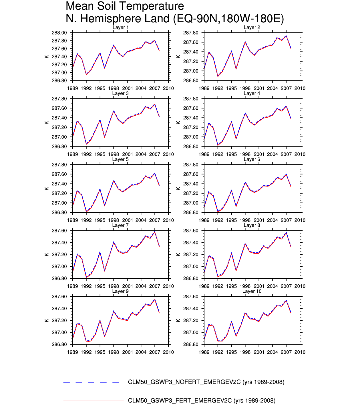
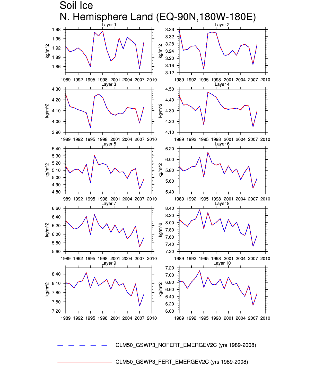
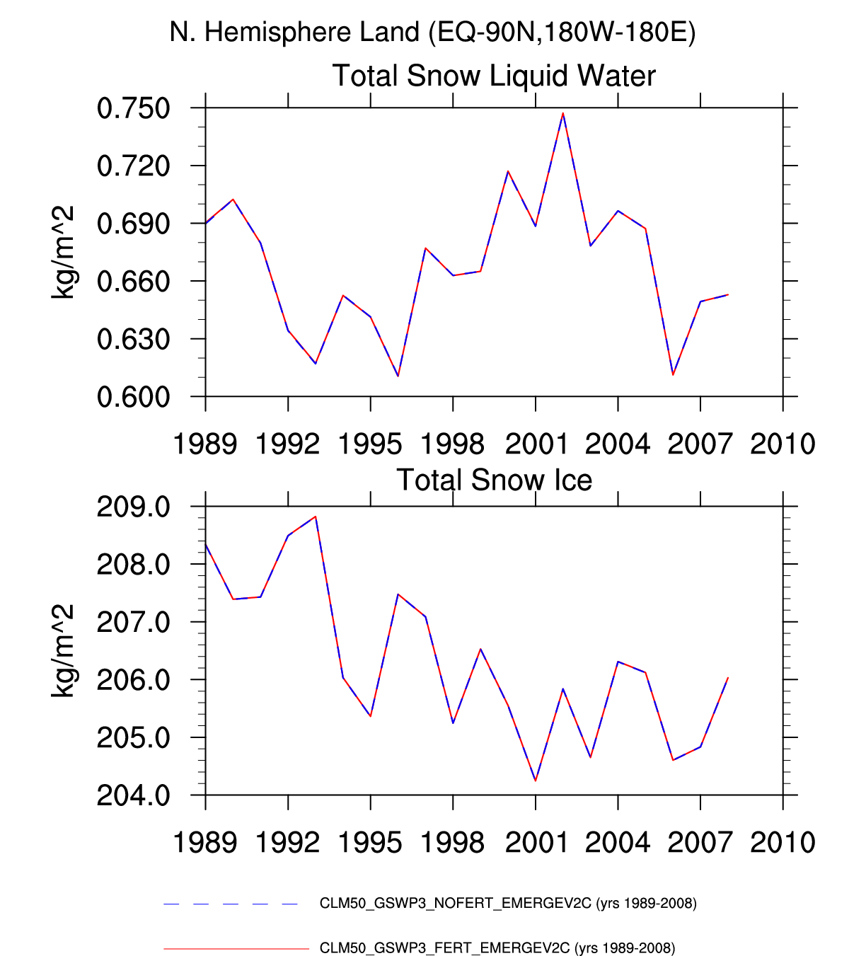
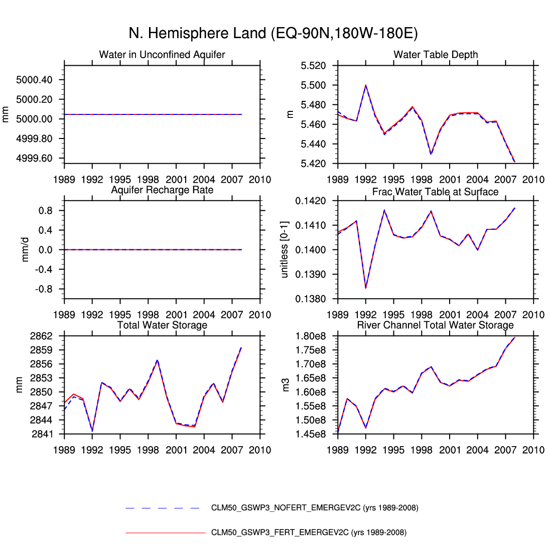
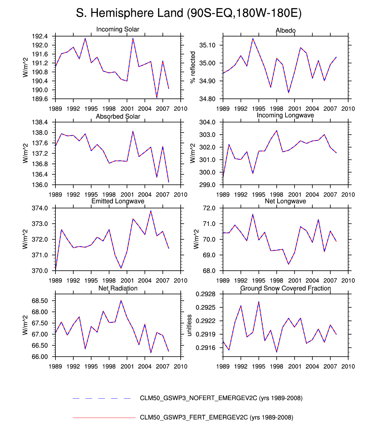
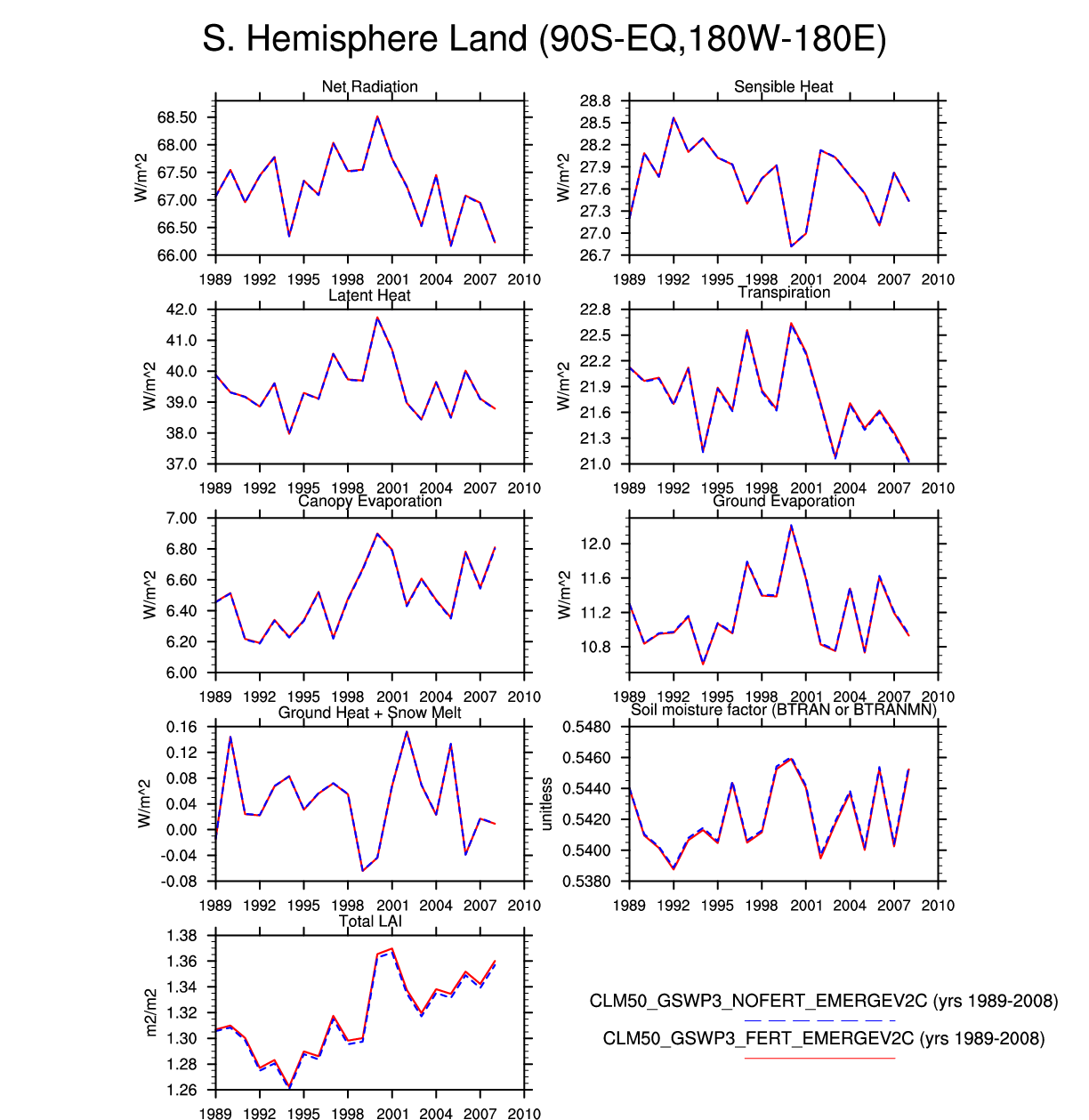
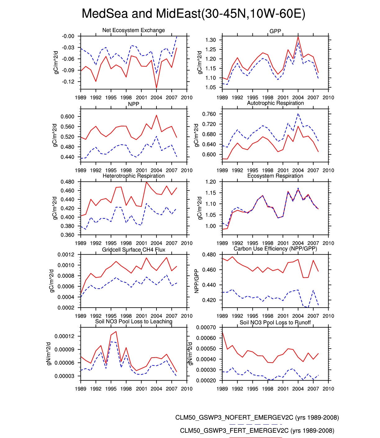
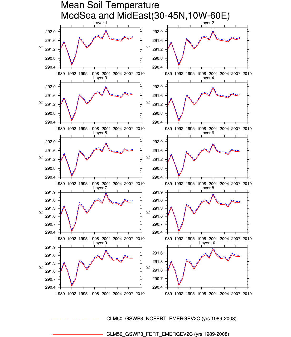
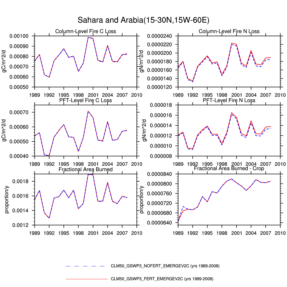
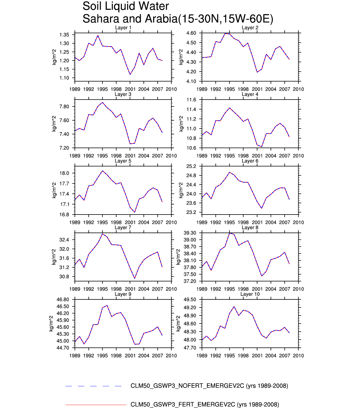
Set 6 Description: Line plots of annual trends in regional soil water/ice and temperature, runoff, snow water/ice, photosynthesis
Lookup Table: Set 6 Variable Definition
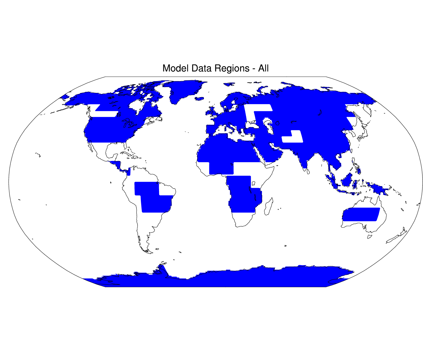
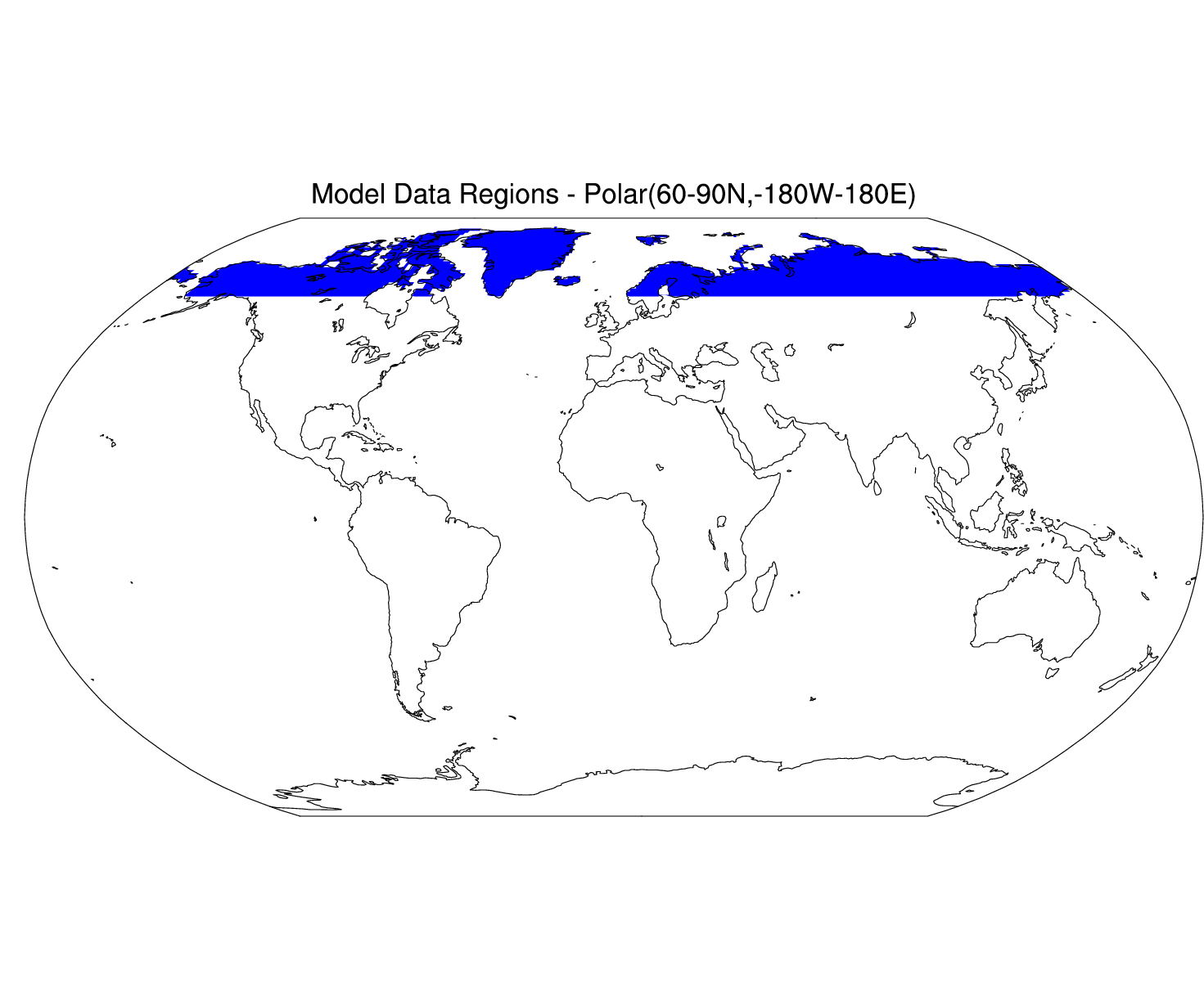
| All Model Data Regions | map | ||||||||||||
|---|---|---|---|---|---|---|---|---|---|---|---|---|---|
| Temp | |||||||||||||
| Precip | Carbon/ | ||||||||||||
| Runoff | Radiative | Turbulent | Nitrogen | Fire | Carbon | Soil | SoilLiq | TotalSoilIce | TotalSnowH2O | ||||
| Map | SnowDepth | Fluxes | Fluxes | Fluxes | Fluxes | Stocks | Temp | Water | SoilIce | TotalSoilH2O | TotalSnowIce | Hydrology | |
| HEMISPHERIC AND GLOBAL | |||||||||||||
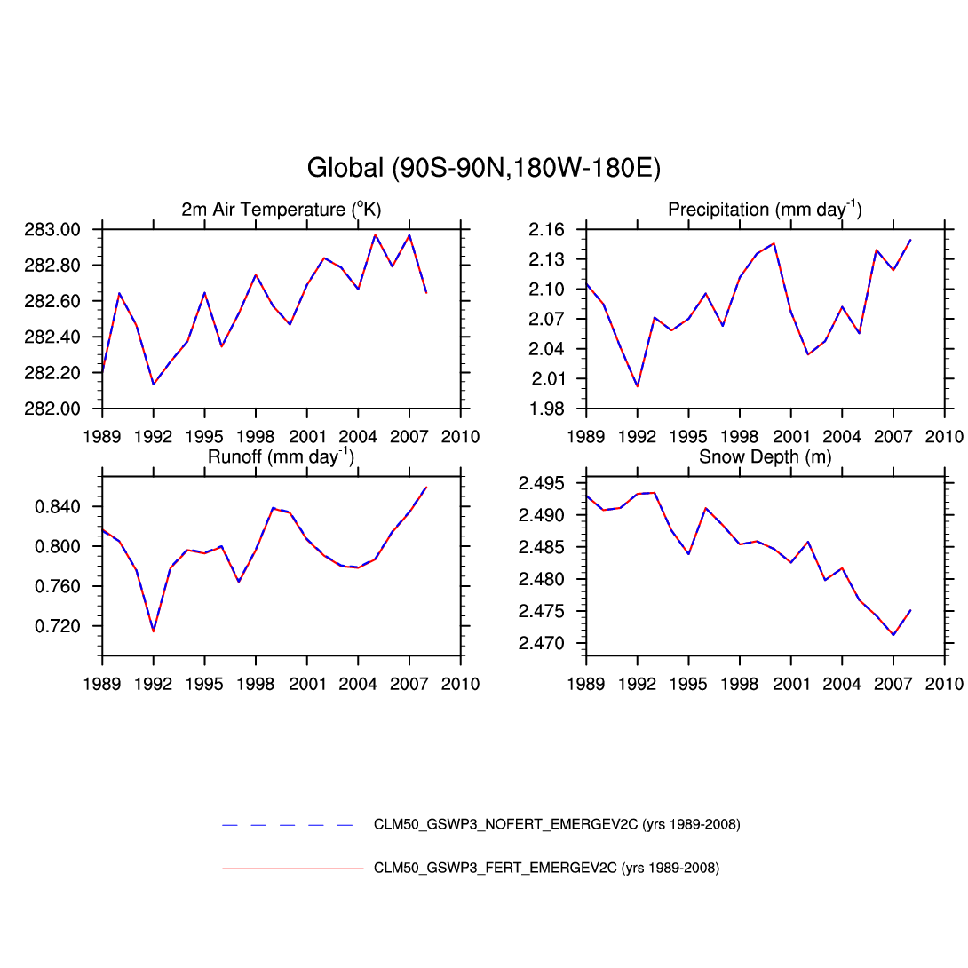
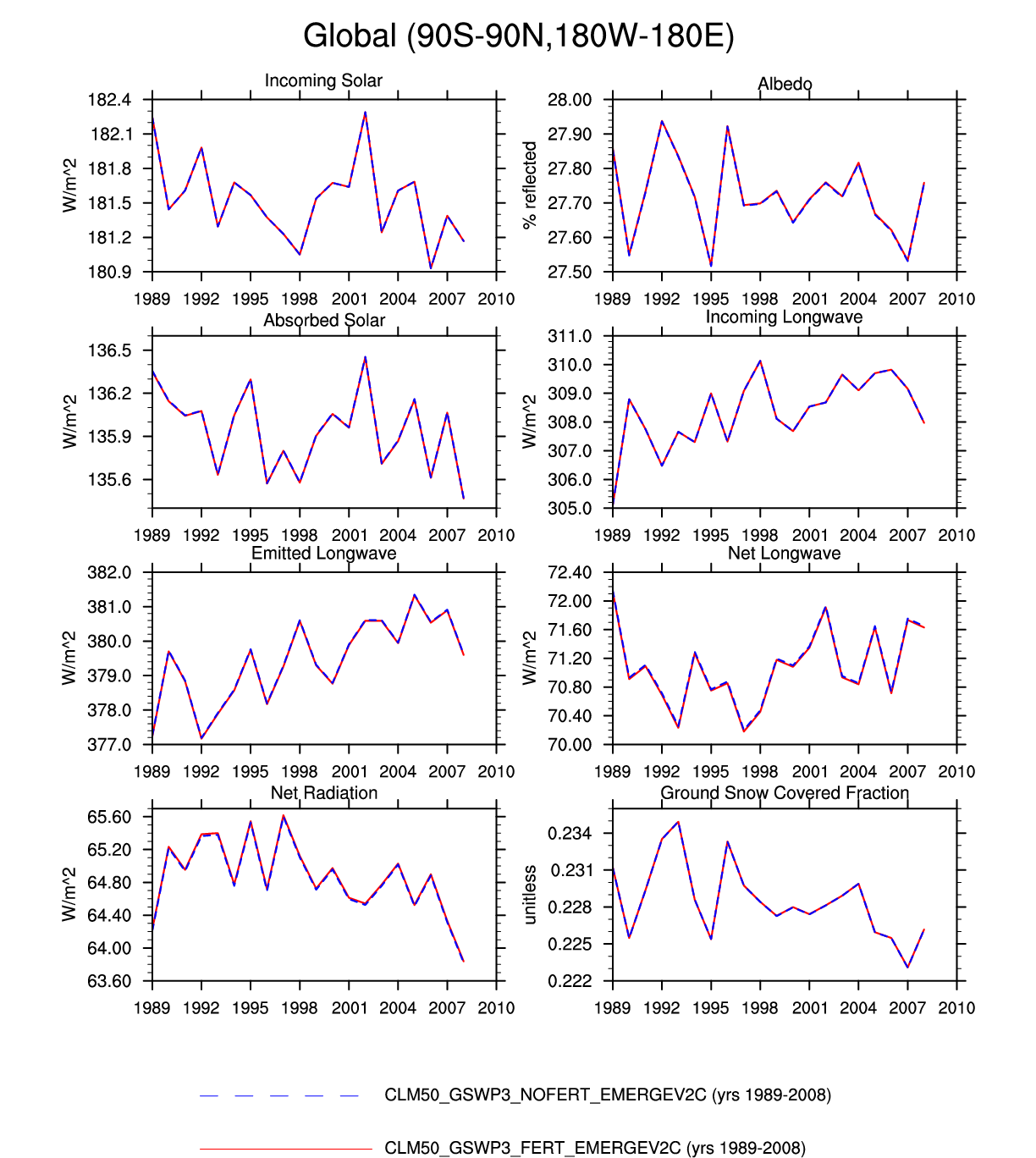
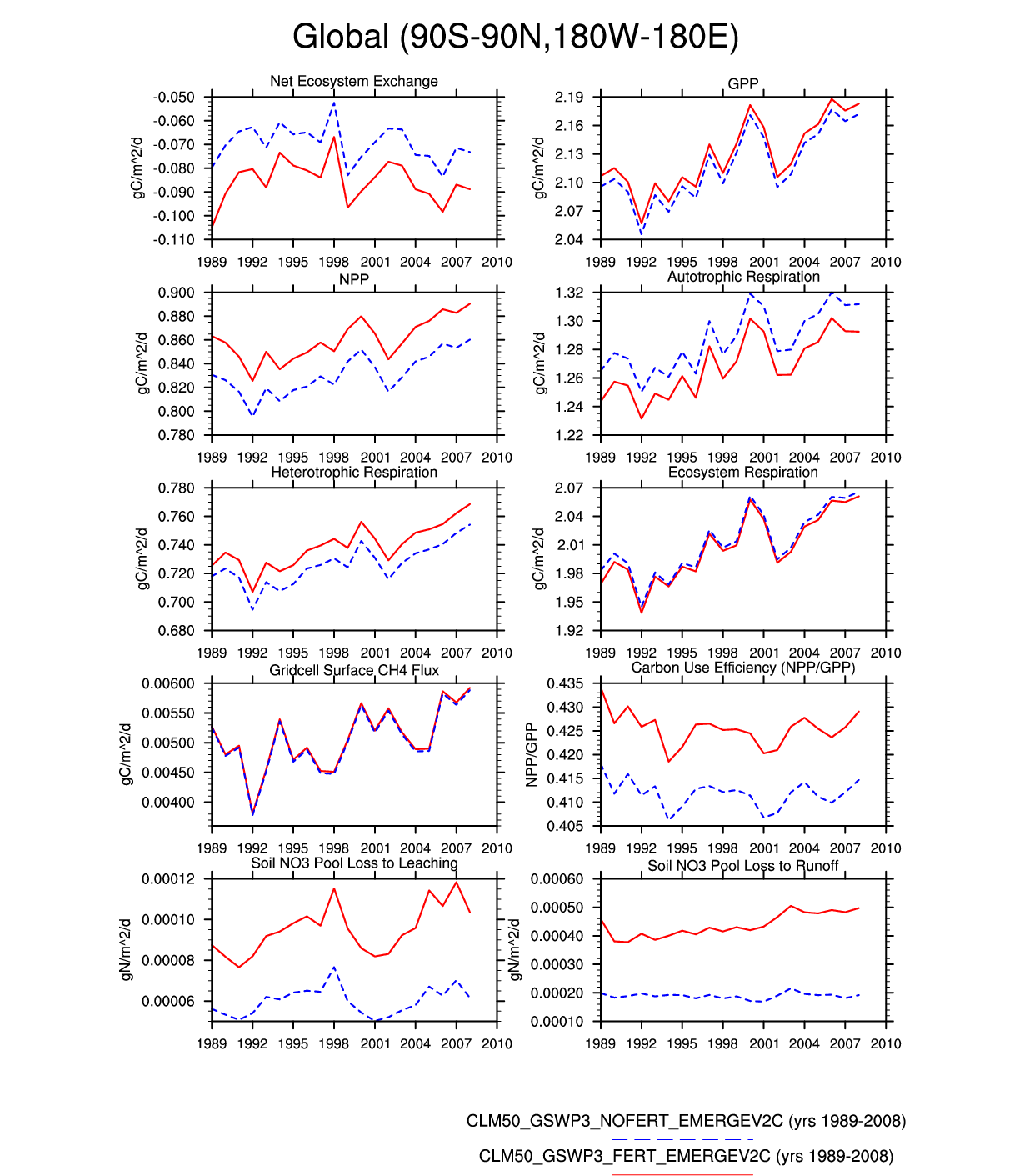
| Global Land | -- | plot | plot | -- | plot | -- | -- | -- | plot | plot | plot | -- | plot |
| Northern Hemisphere Land | -- | -- | plot | plot | plot | plot | -- | plot | -- | plot | -- | plot | plot |
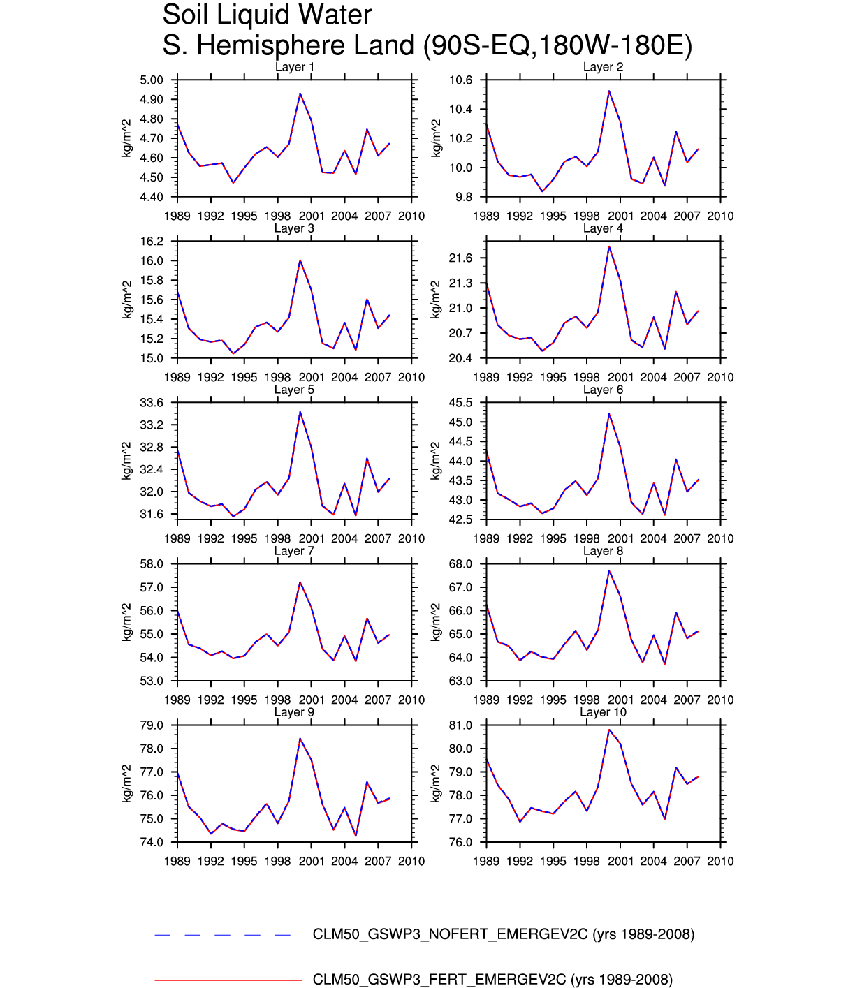
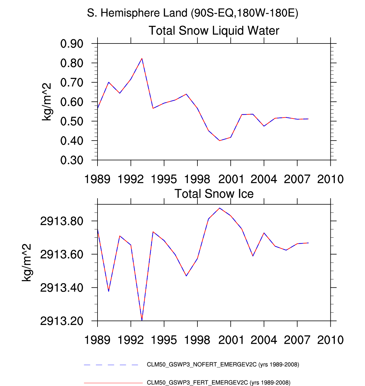
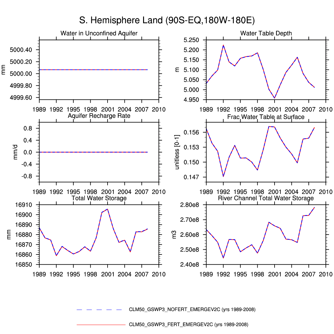
| Southern Hemisphere Land | -- | -- | plot | plot | -- | -- | -- | -- | plot | -- | -- | plot | plot |
| POLAR | |||||||||||||
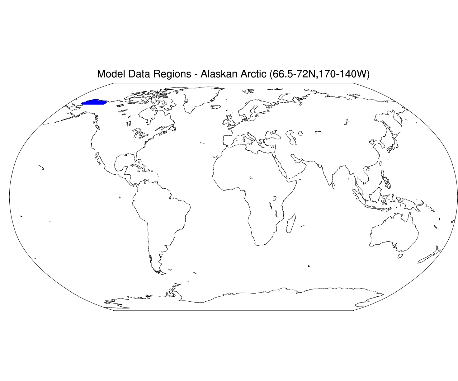
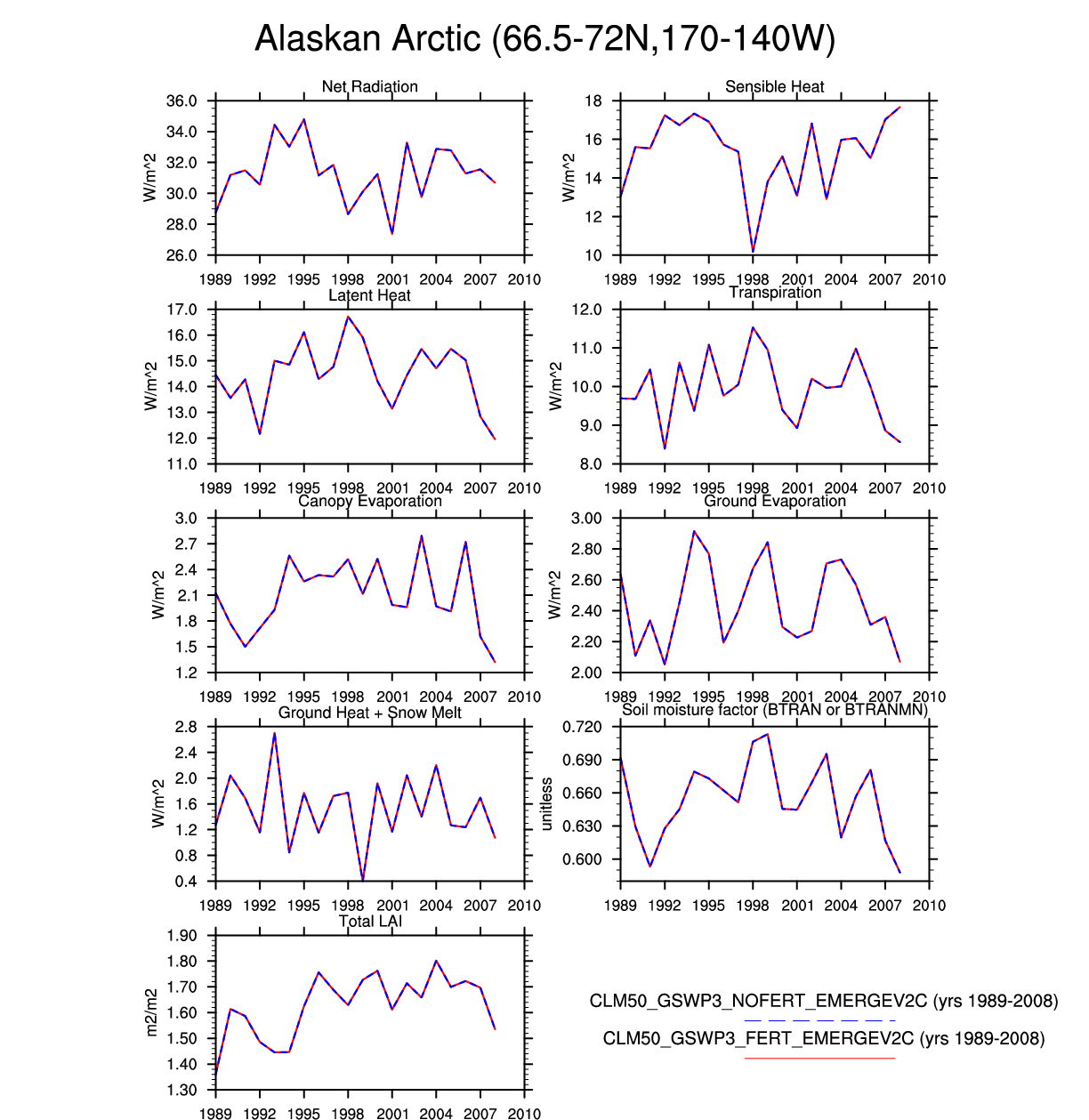
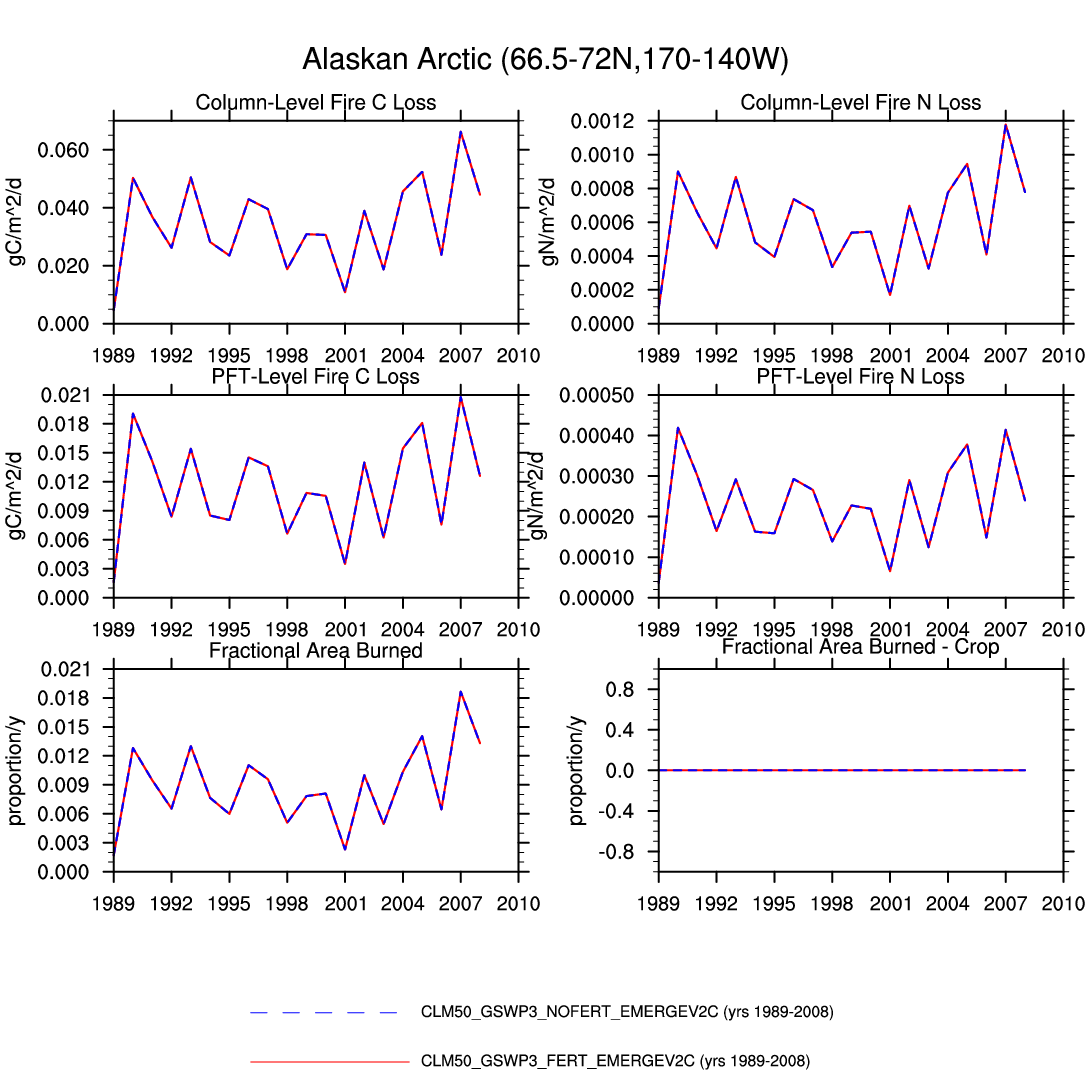
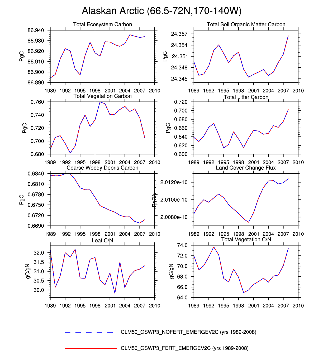
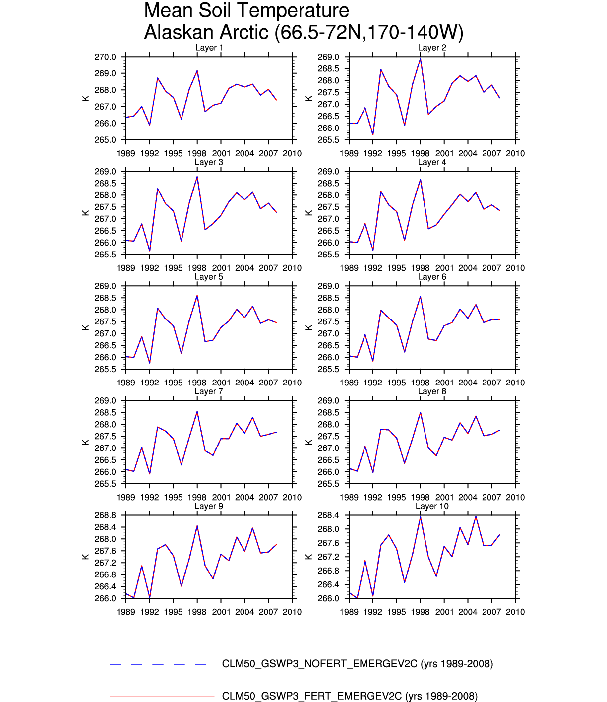
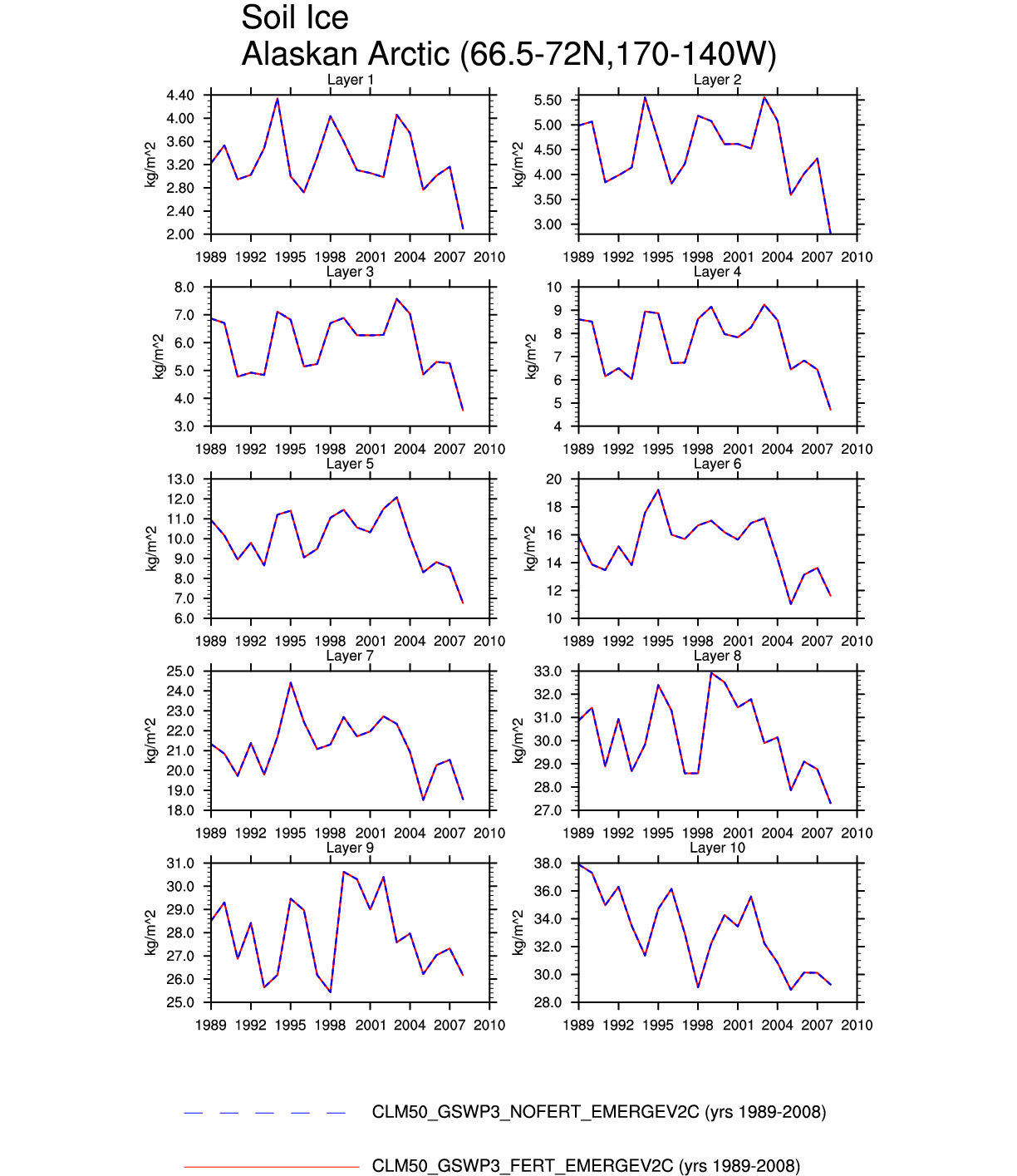
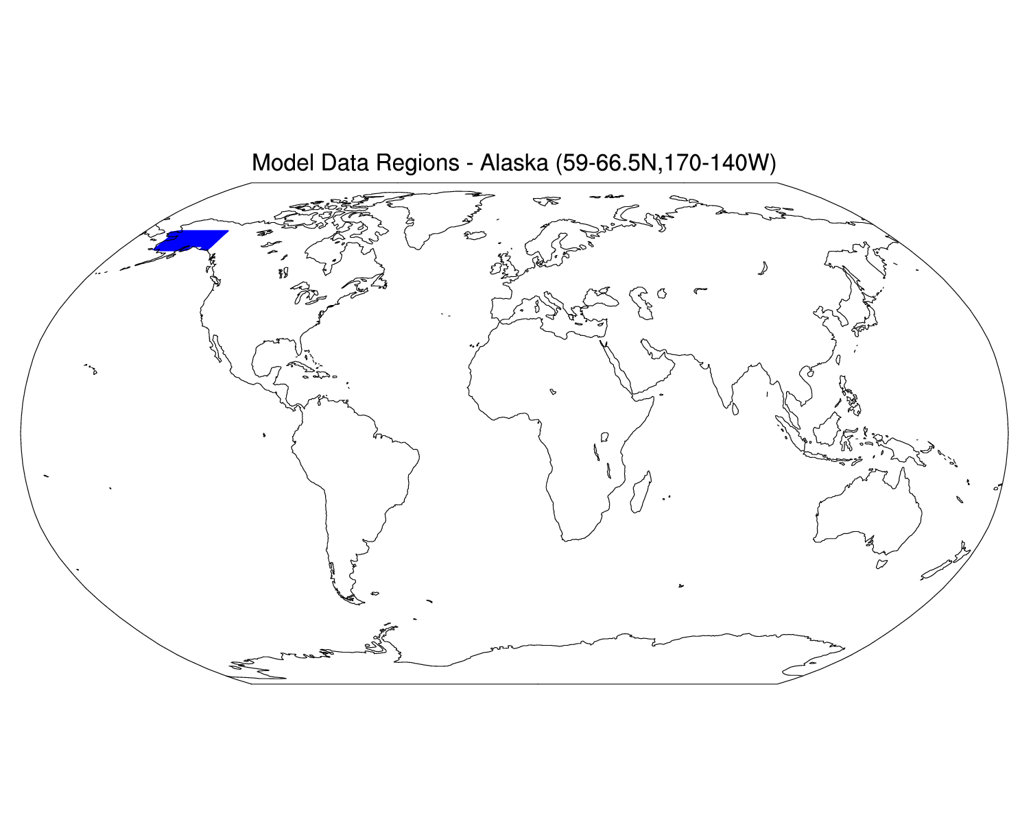
| Alaskan Arctic | map | -- | -- | plot | -- | plot | plot | plot | -- | plot | -- | -- | -- |
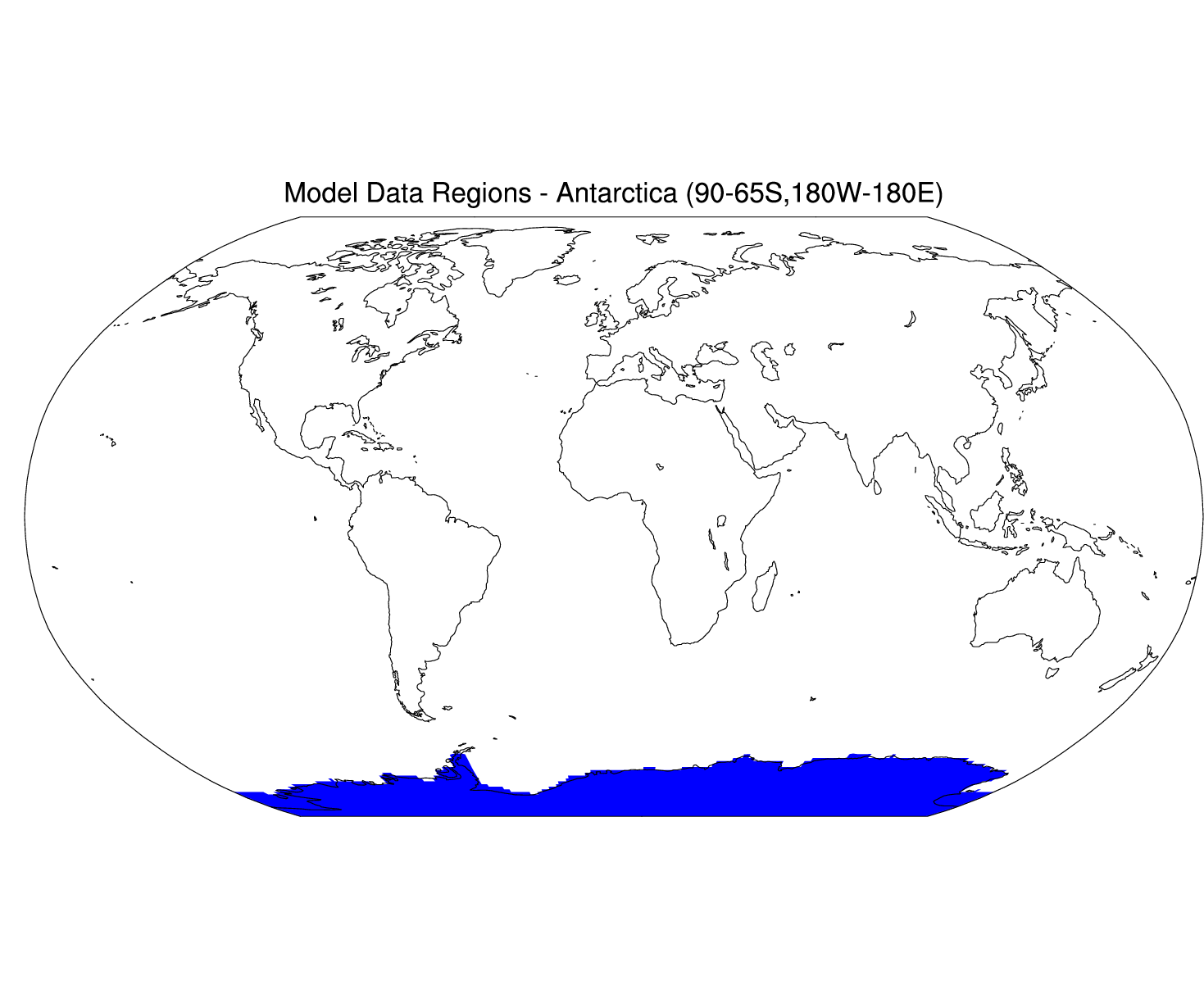
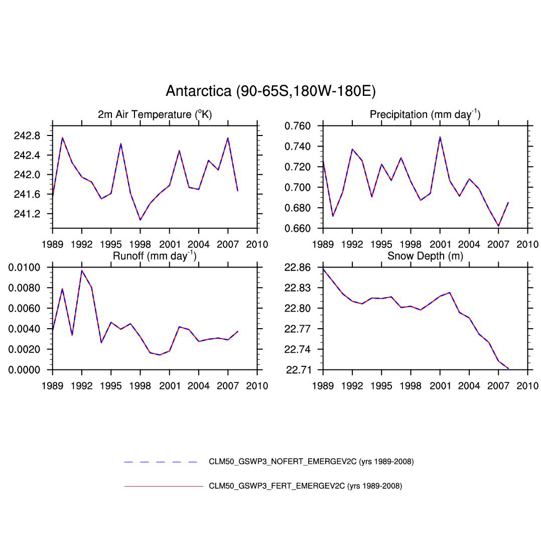
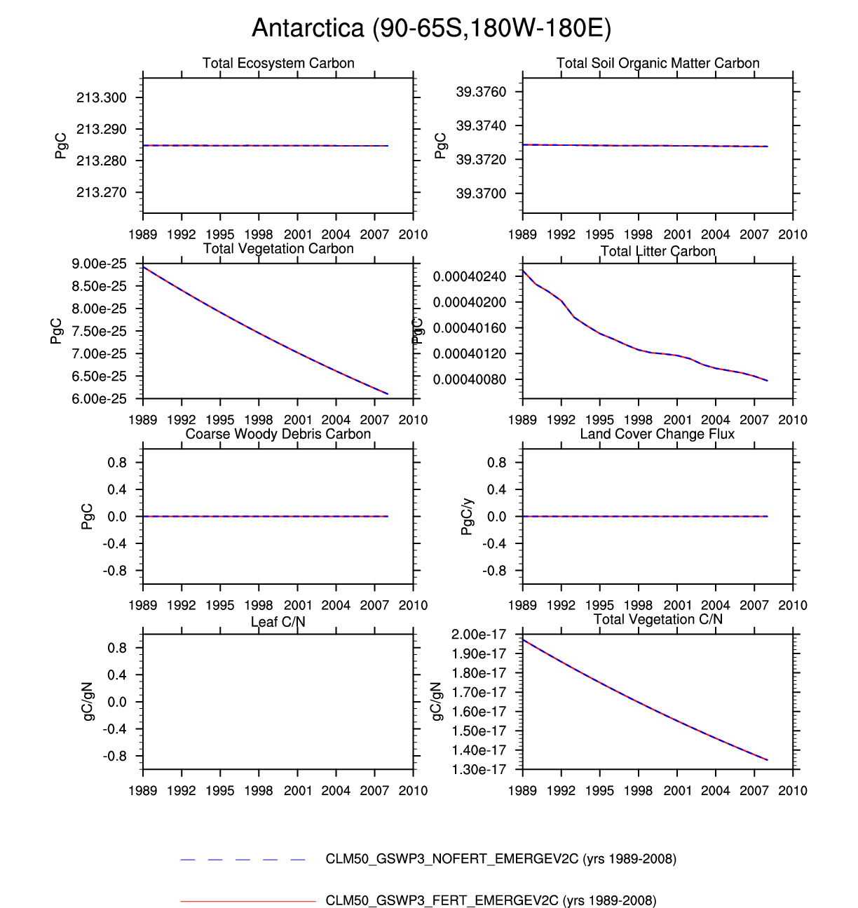
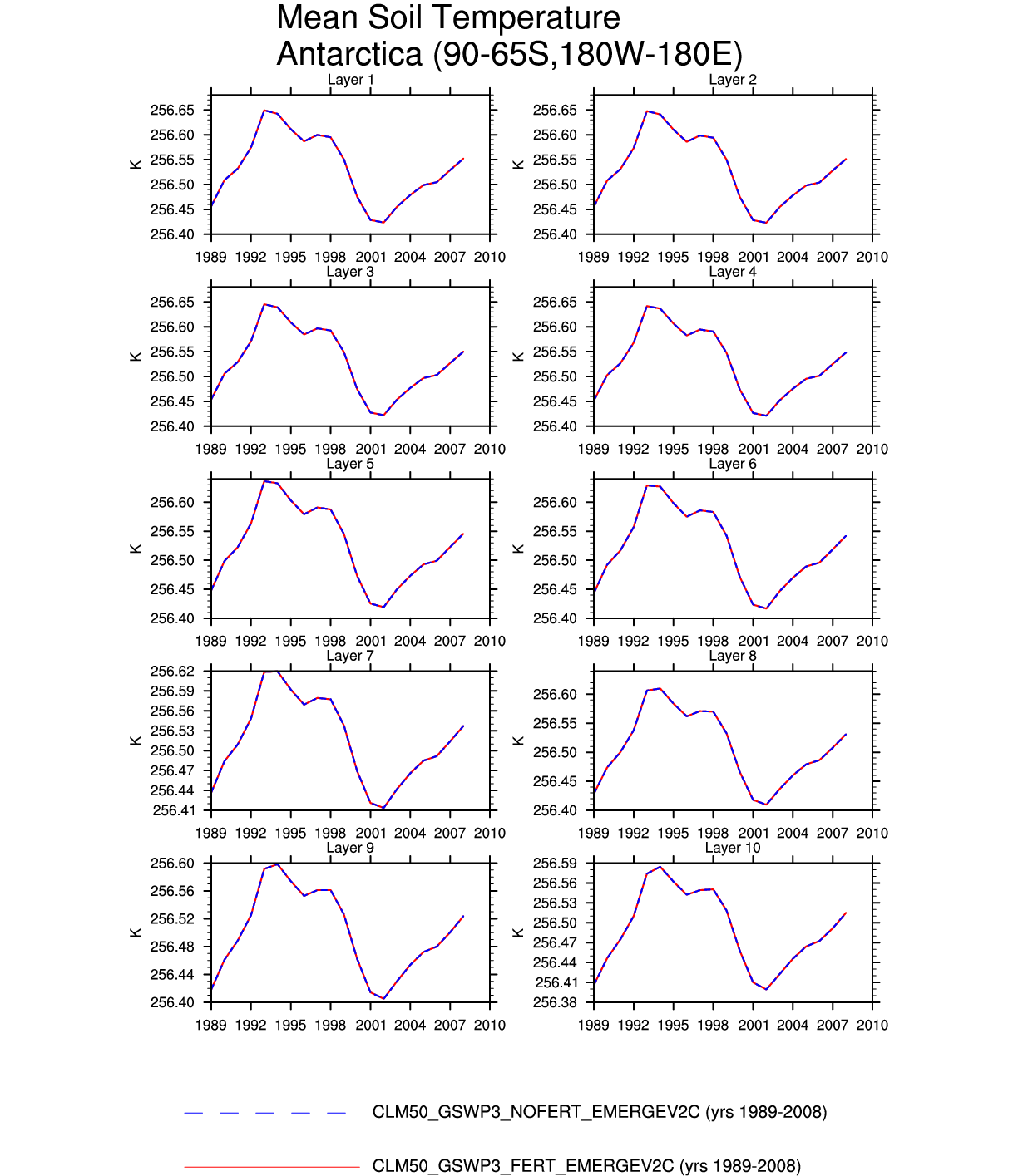
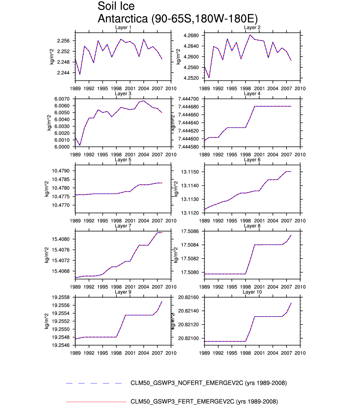
| Antarctica | map | plot | -- | -- | -- | -- | plot | plot | -- | plot | -- | -- | -- |
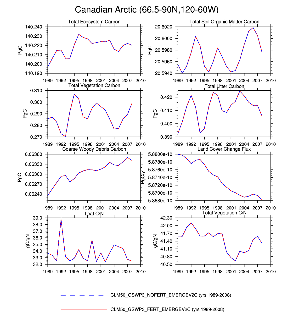
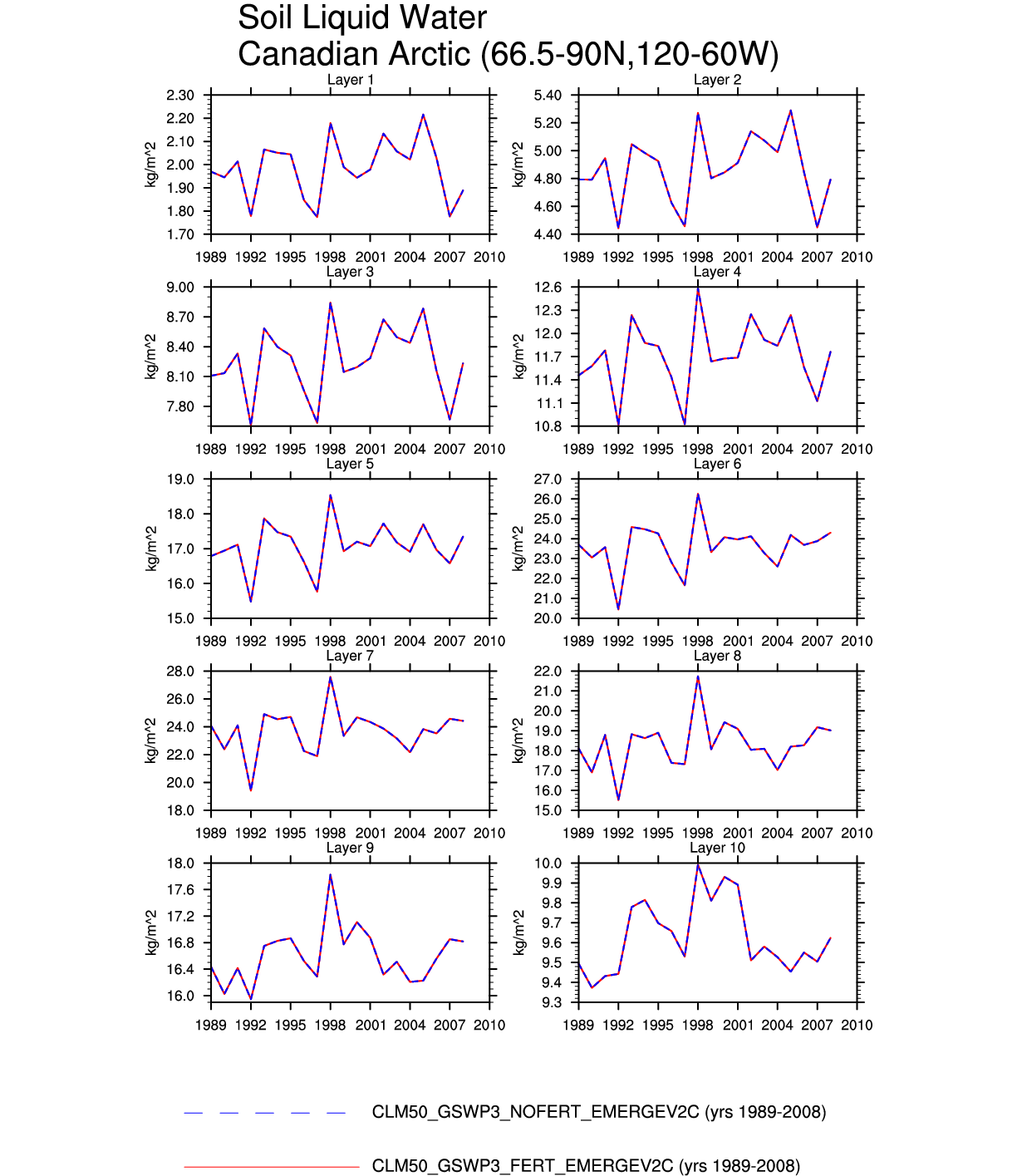
| Canadian Arctic | -- | -- | -- | -- | -- | -- | plot | -- | plot | -- | -- | -- | -- |
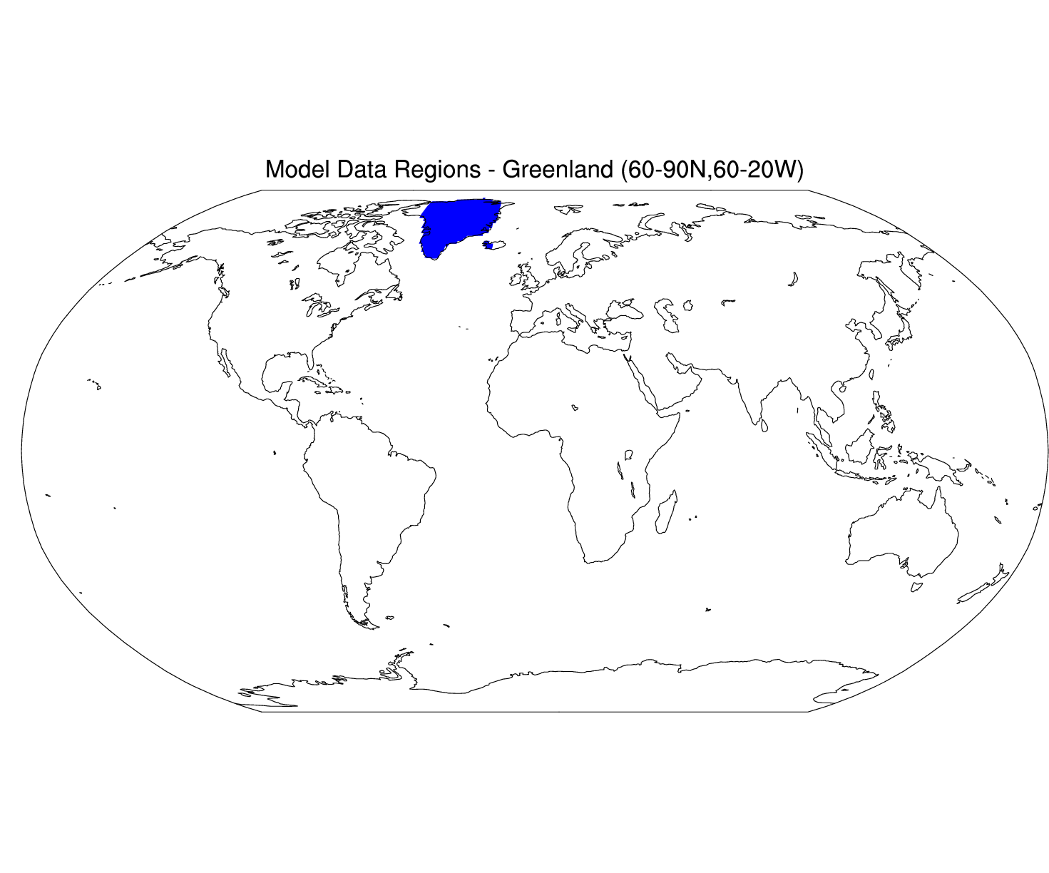
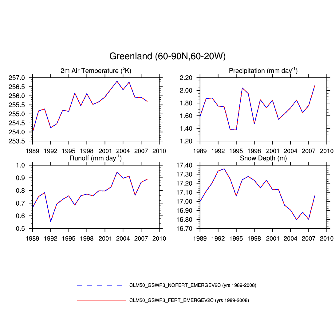
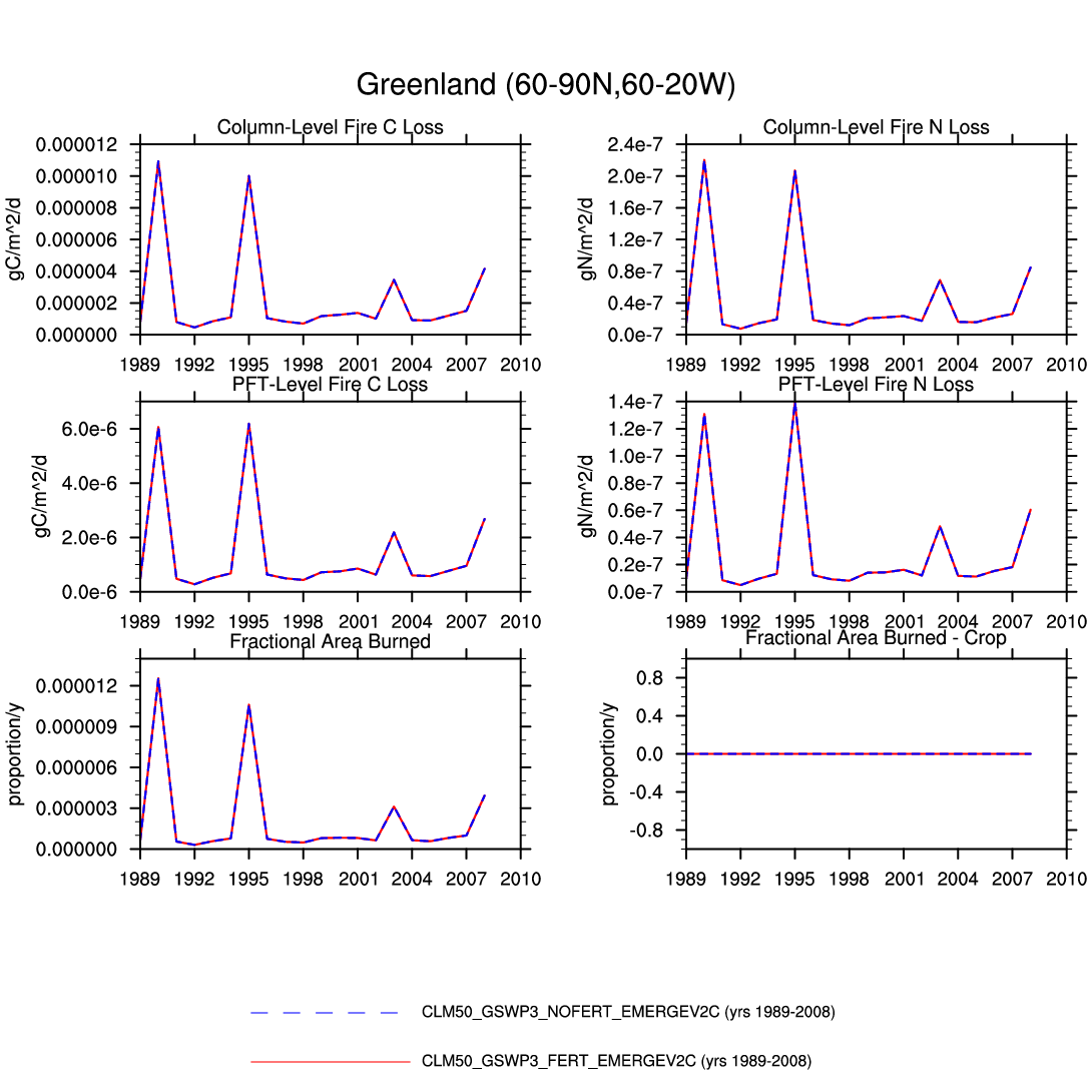
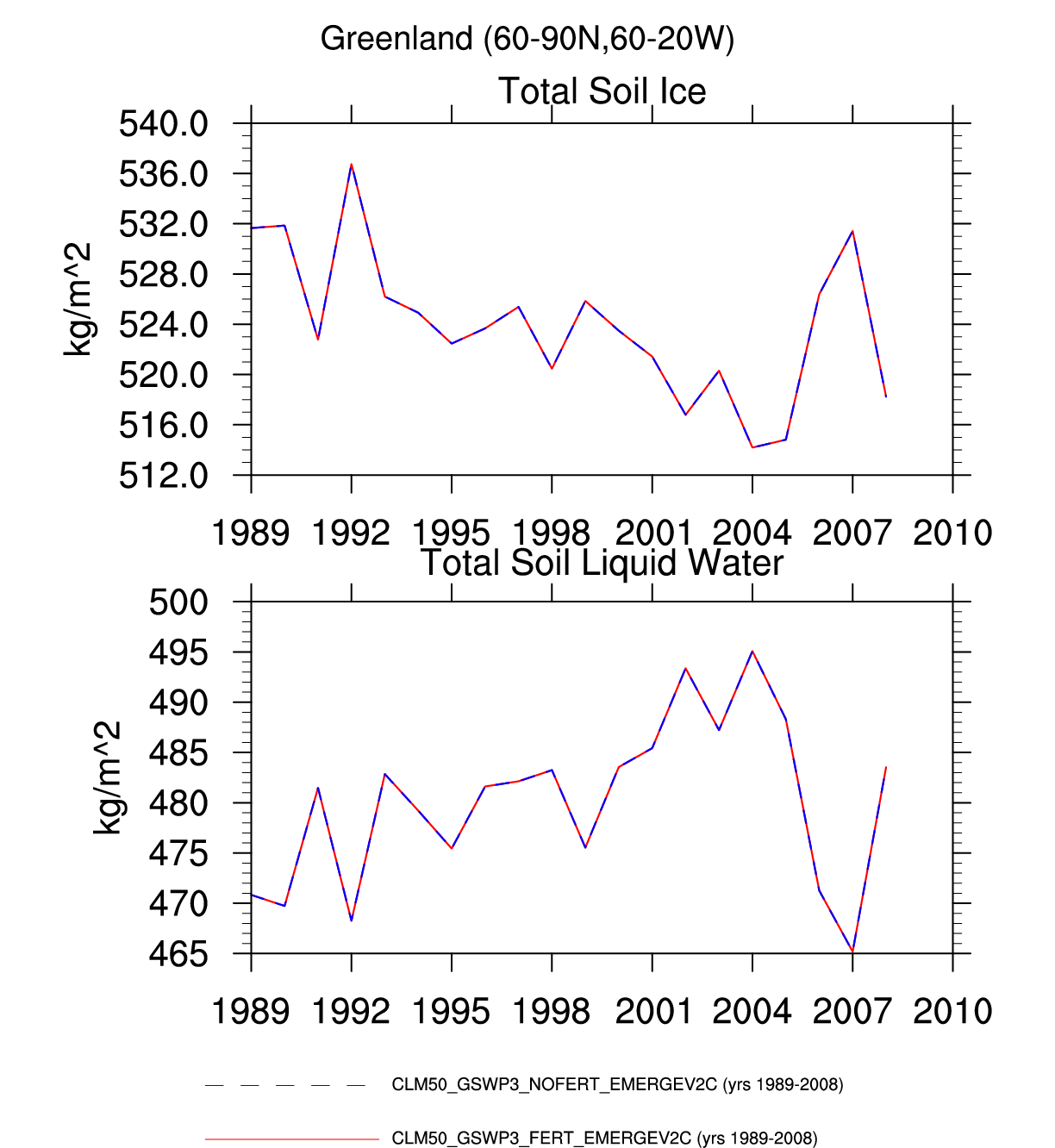
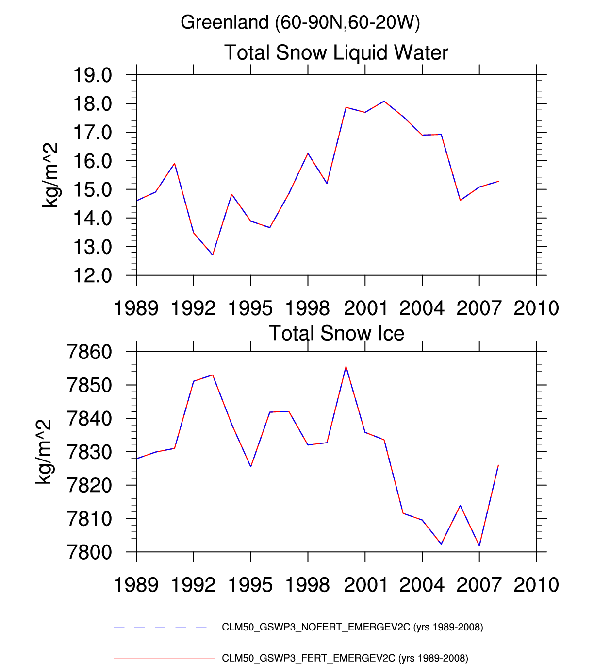
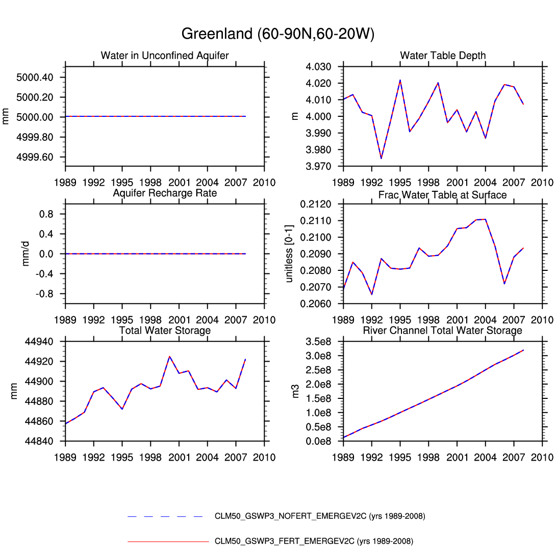
| Greenland | map | plot | -- | -- | -- | plot | -- | -- | -- | -- | plot | plot | plot |
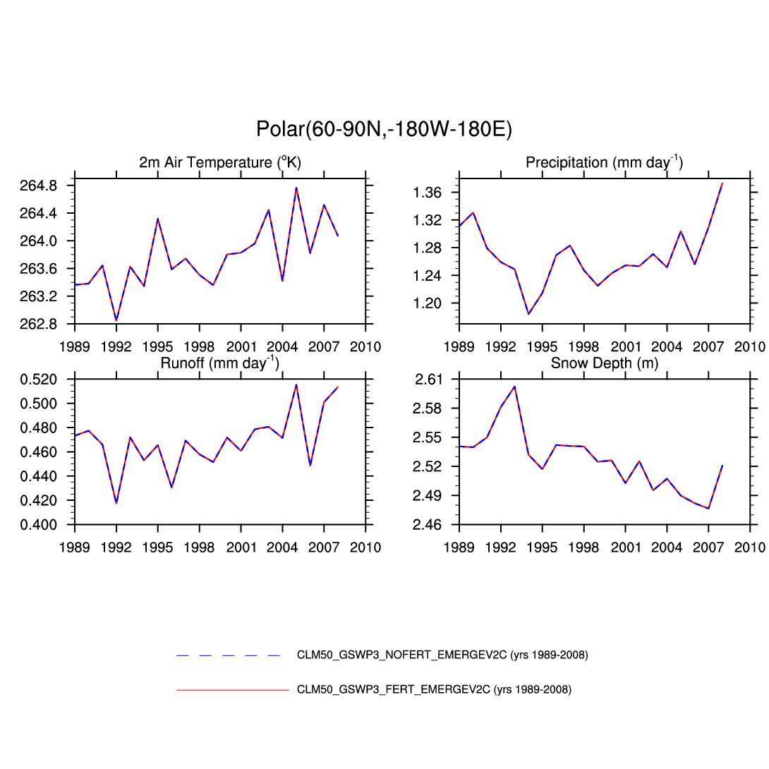
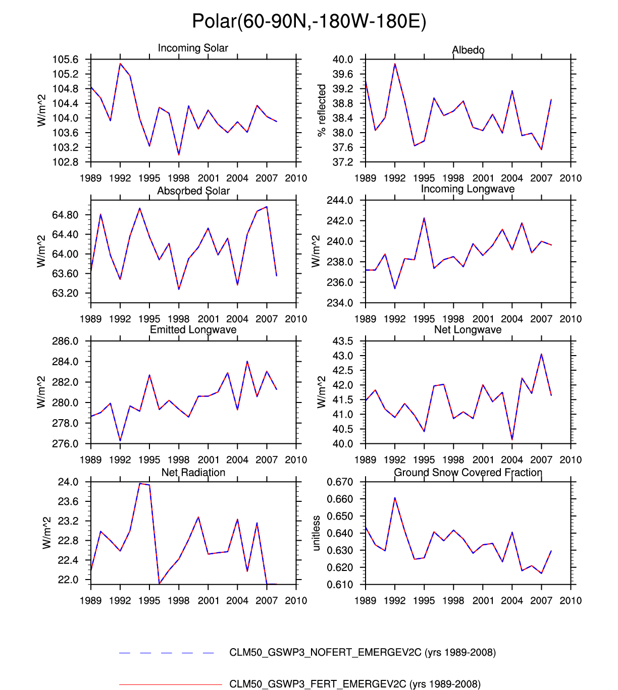
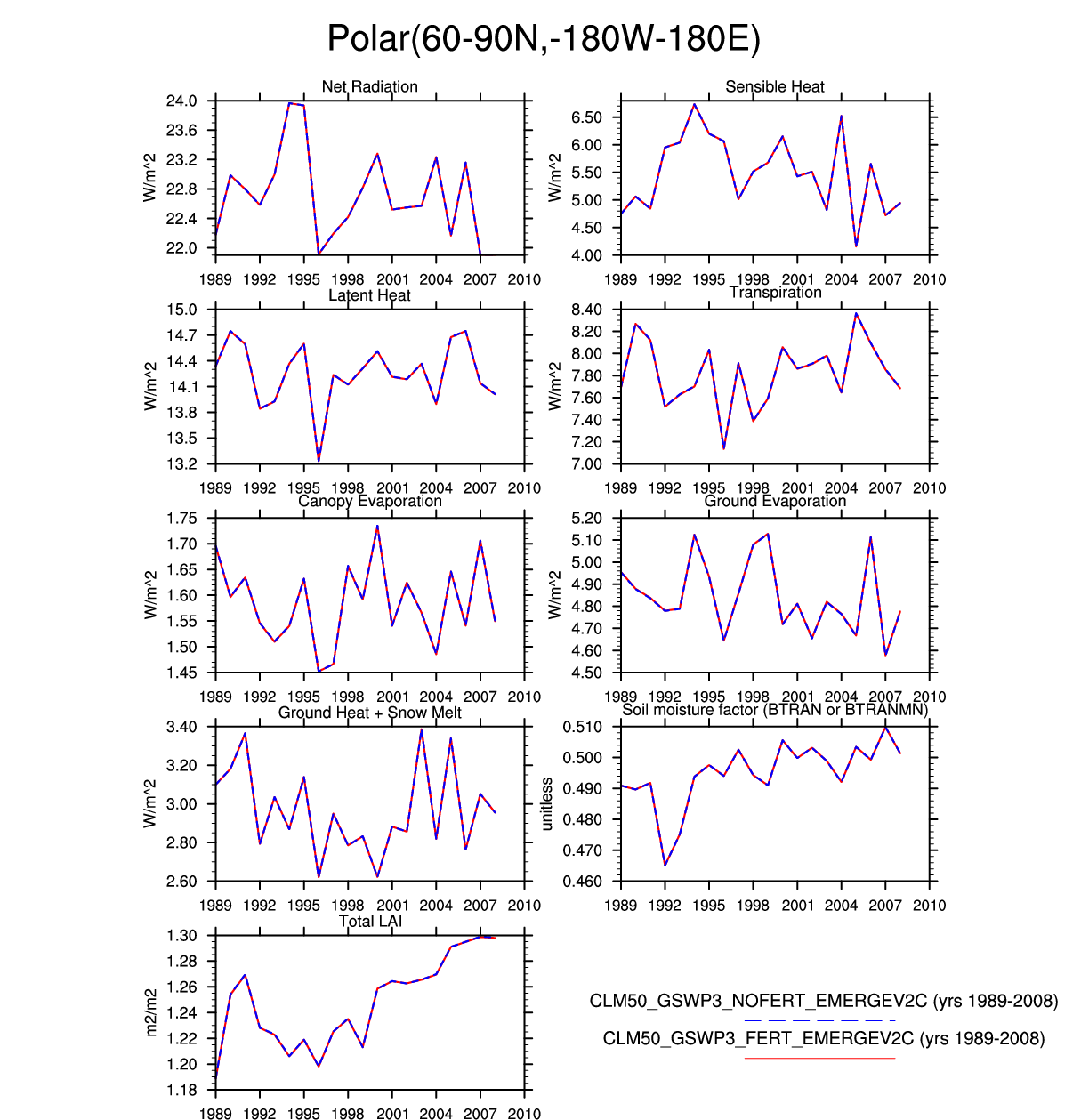
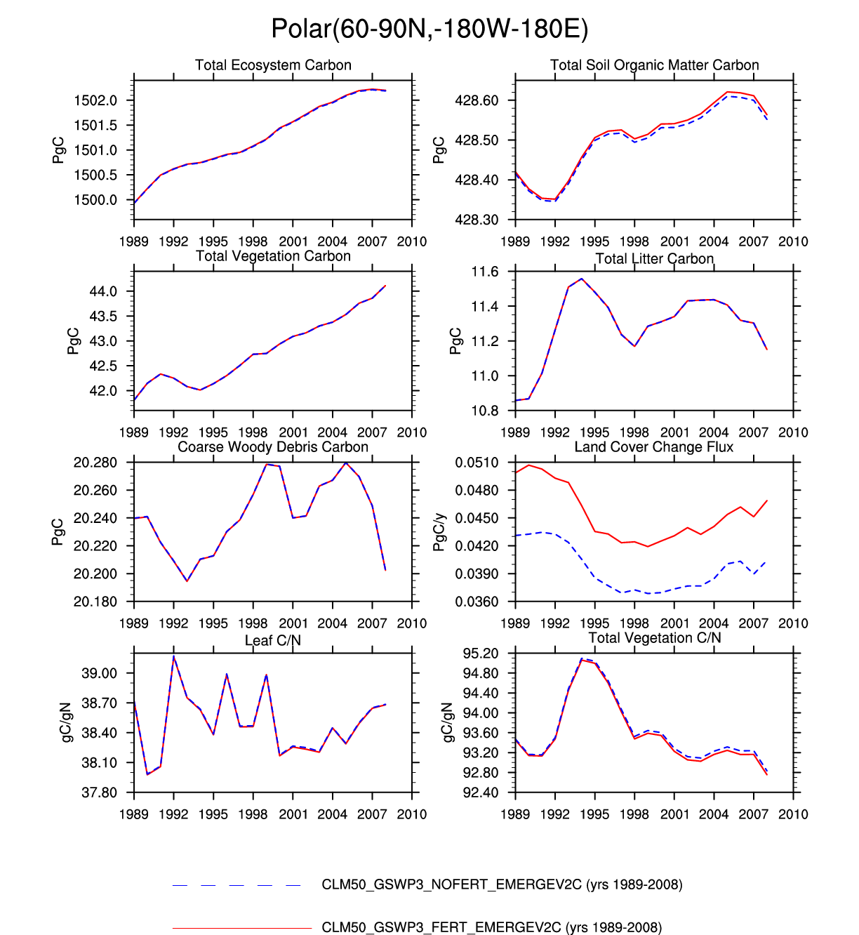
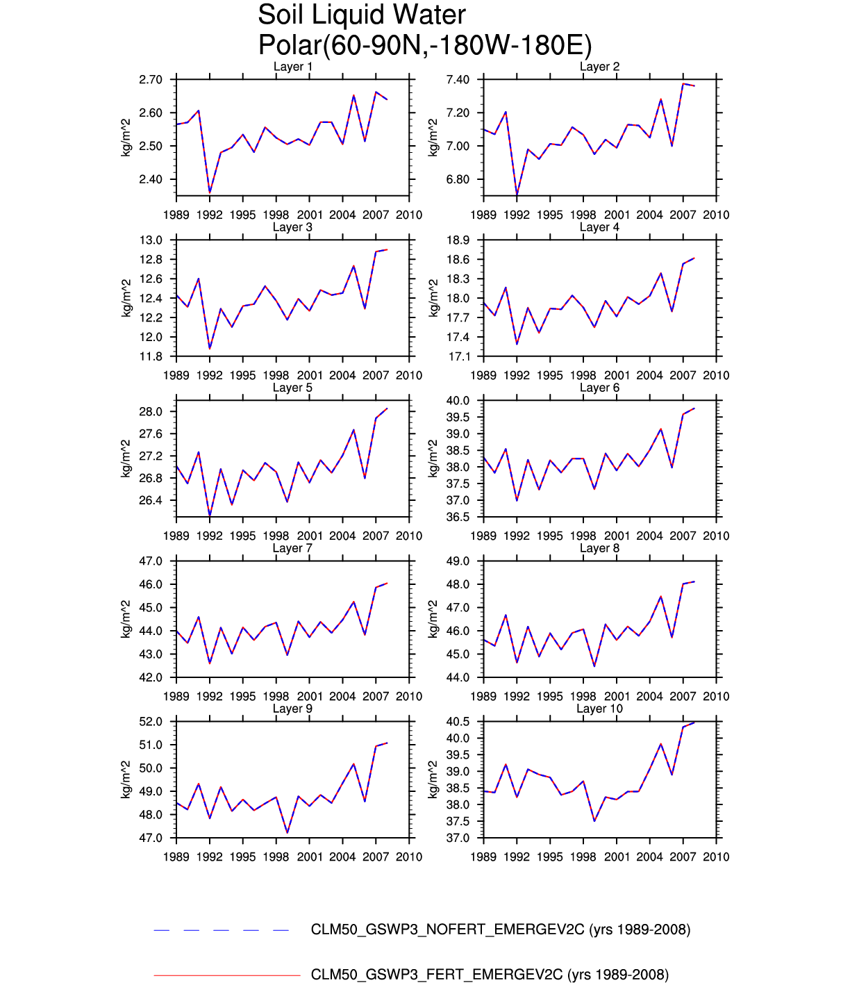
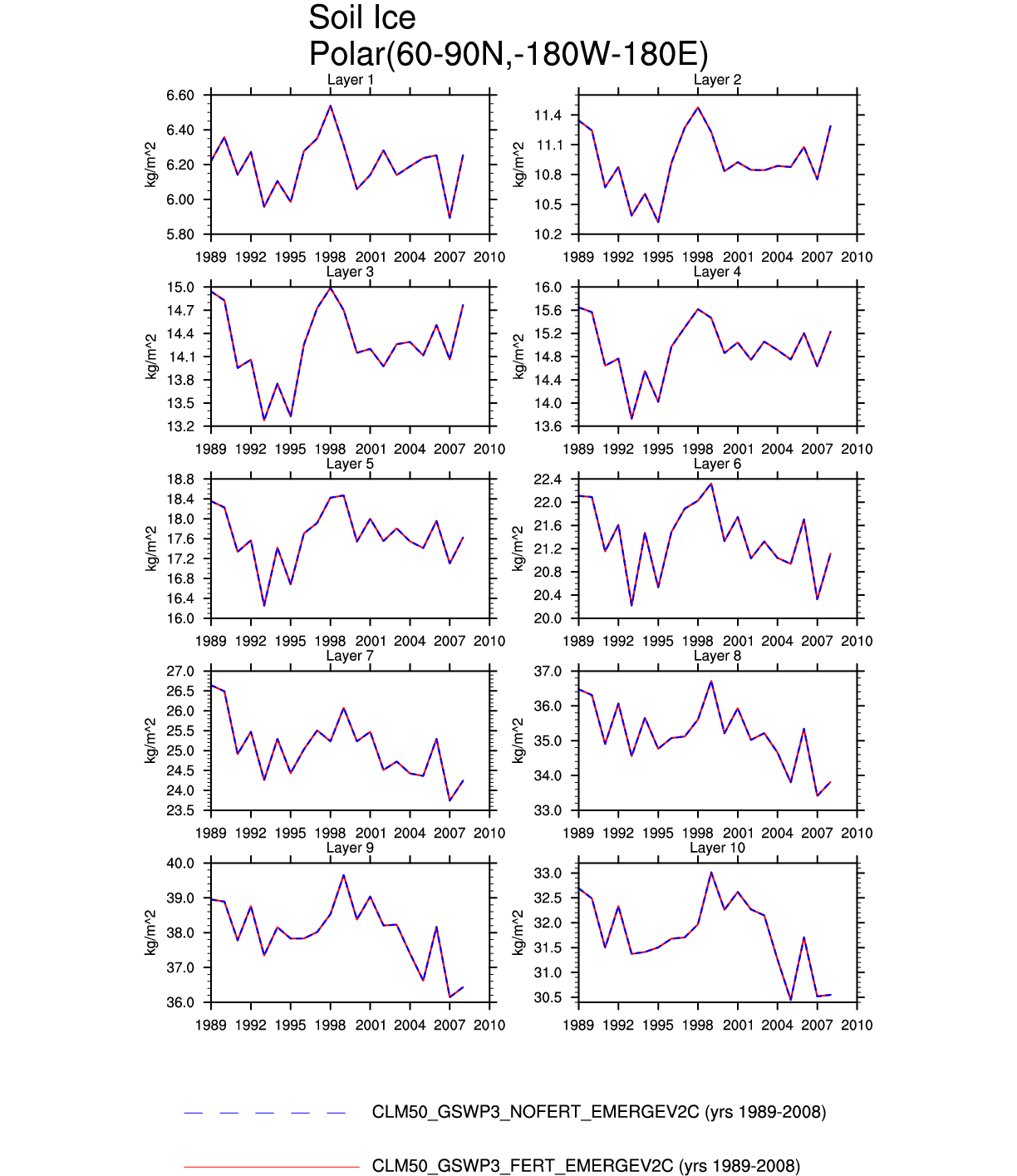
| Polar | map | plot | plot | plot | -- | -- | plot | -- | plot | plot | -- | -- | -- |
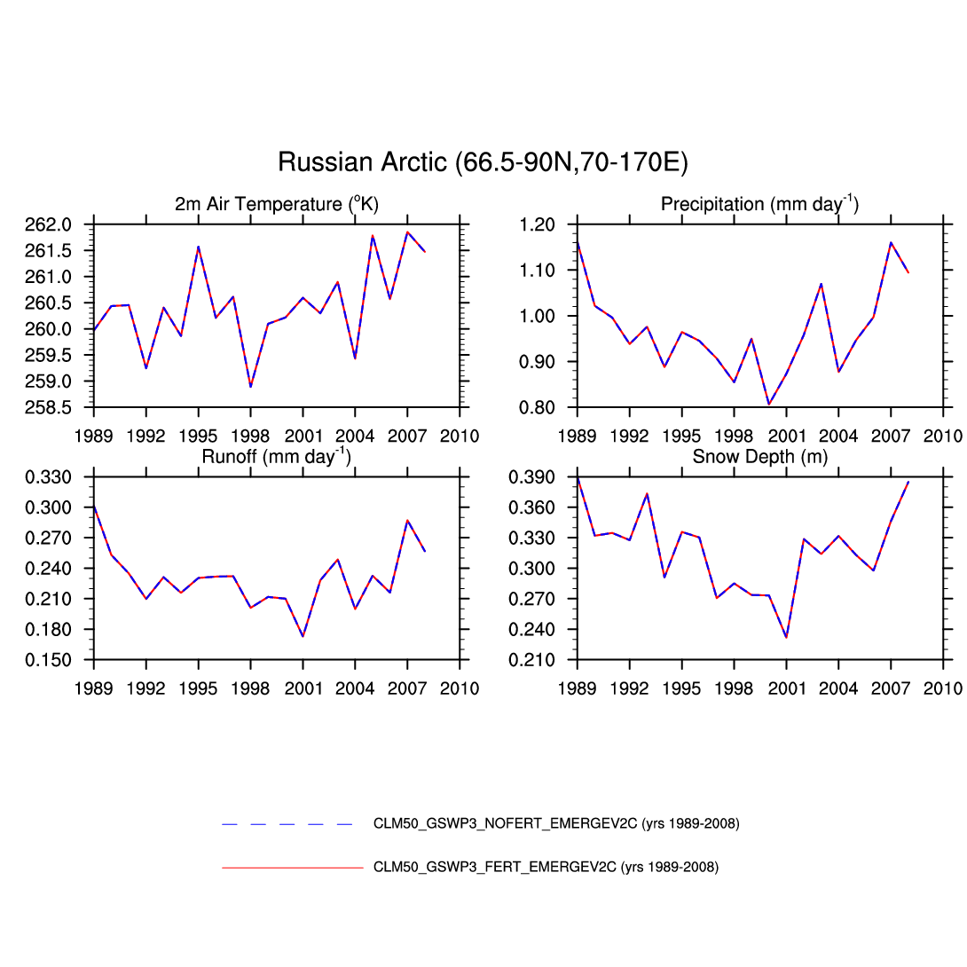
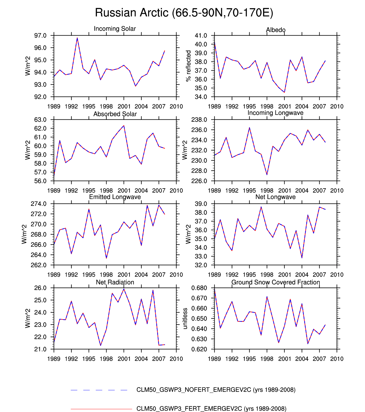
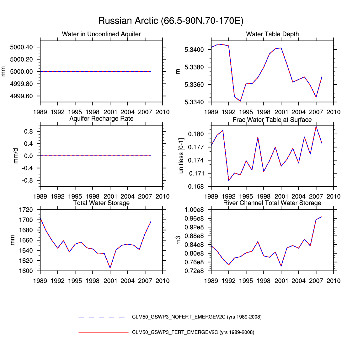
| Russian Arctic | -- | plot | plot | -- | -- | -- | -- | -- | -- | -- | -- | -- | plot |
| BOREAL | |||||||||||||
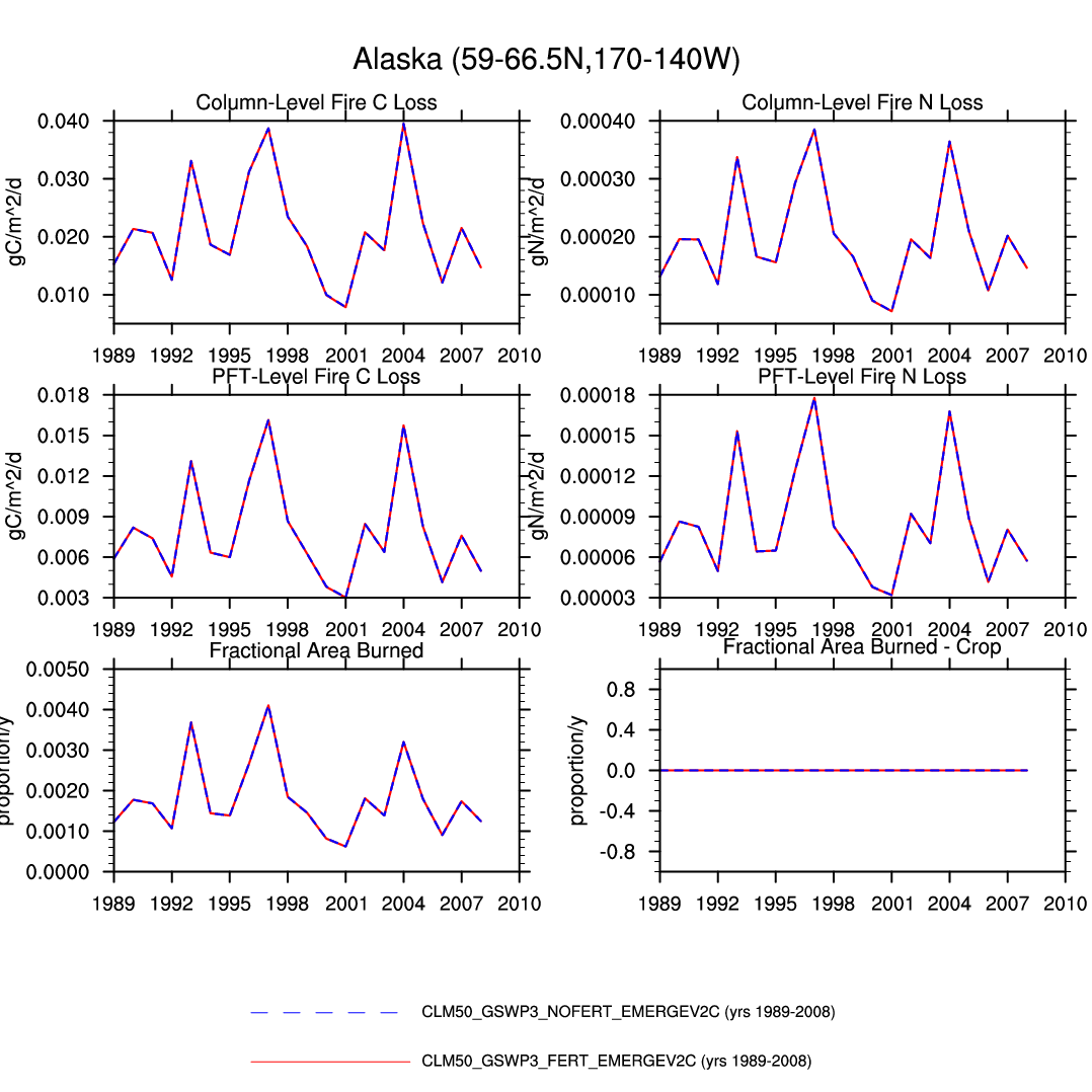
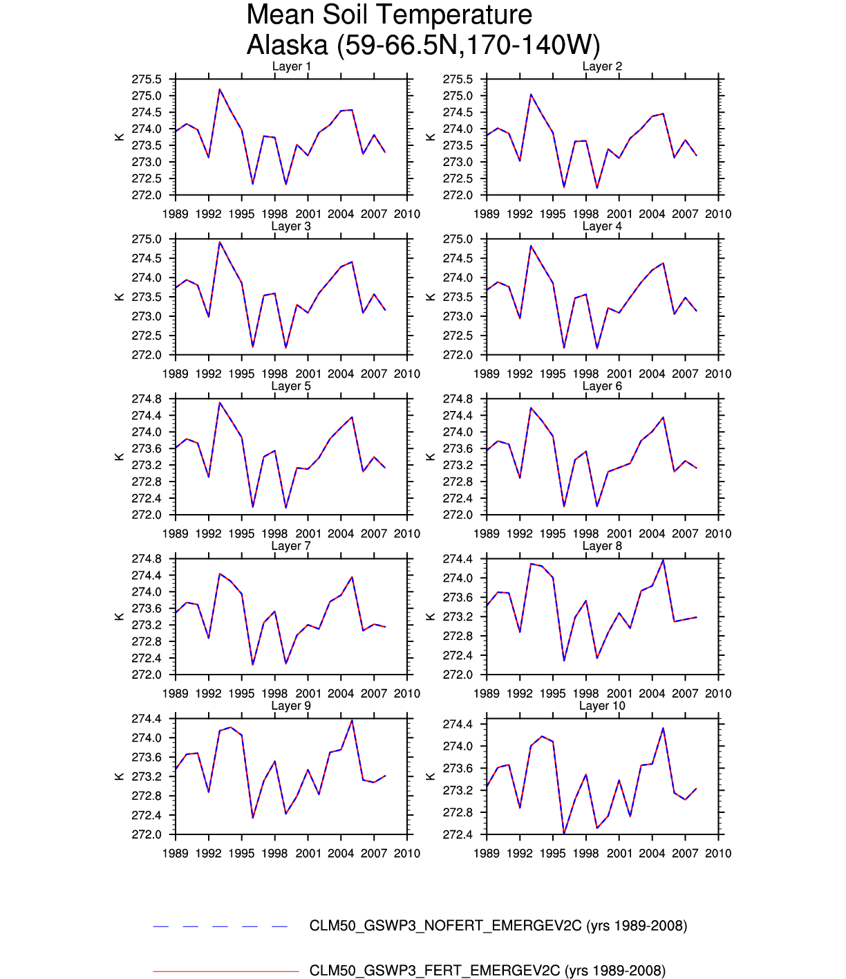
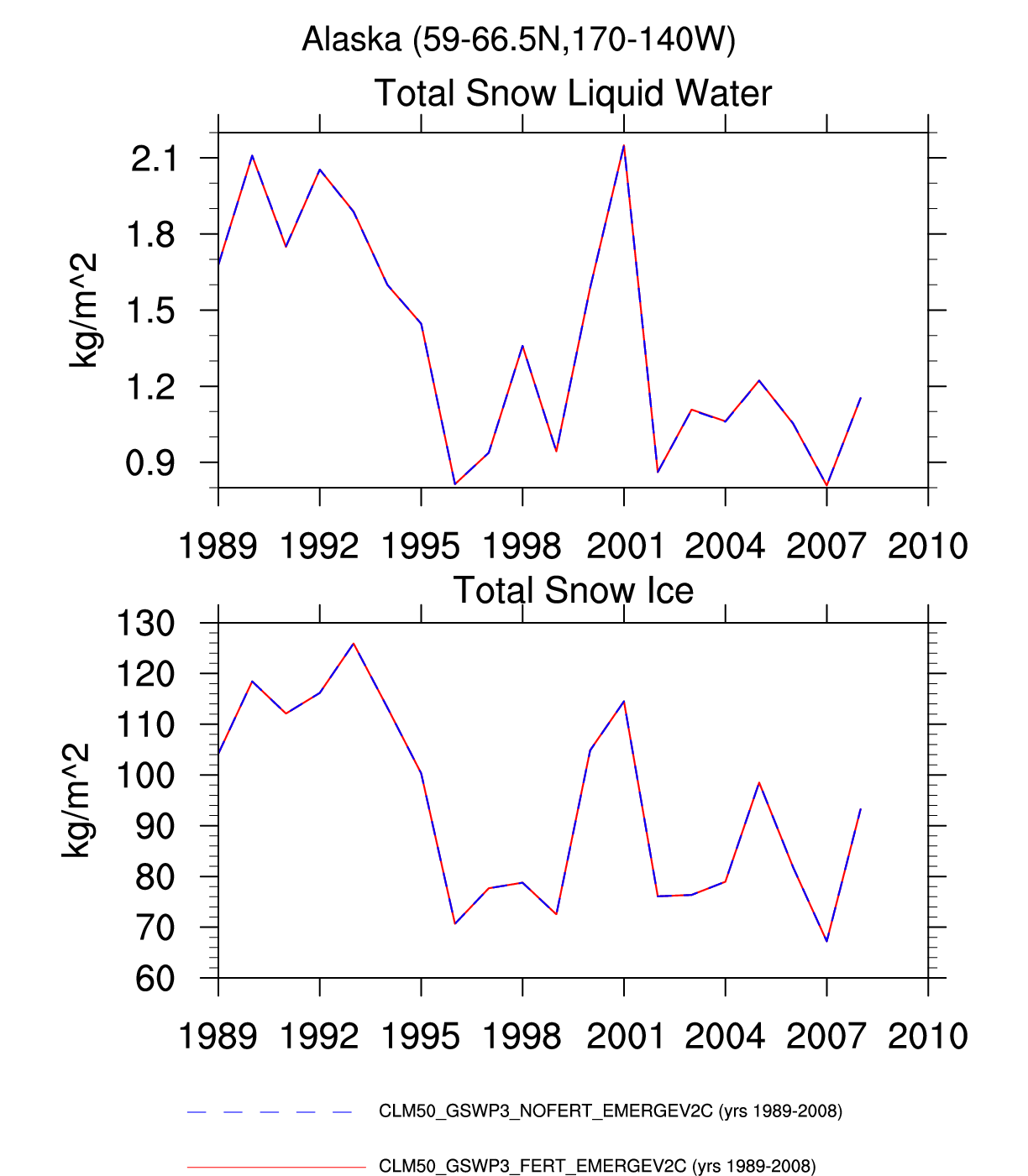
| Alaska | map | plot | plot | -- | plot | plot | -- | plot | -- | -- | -- | plot | -- |
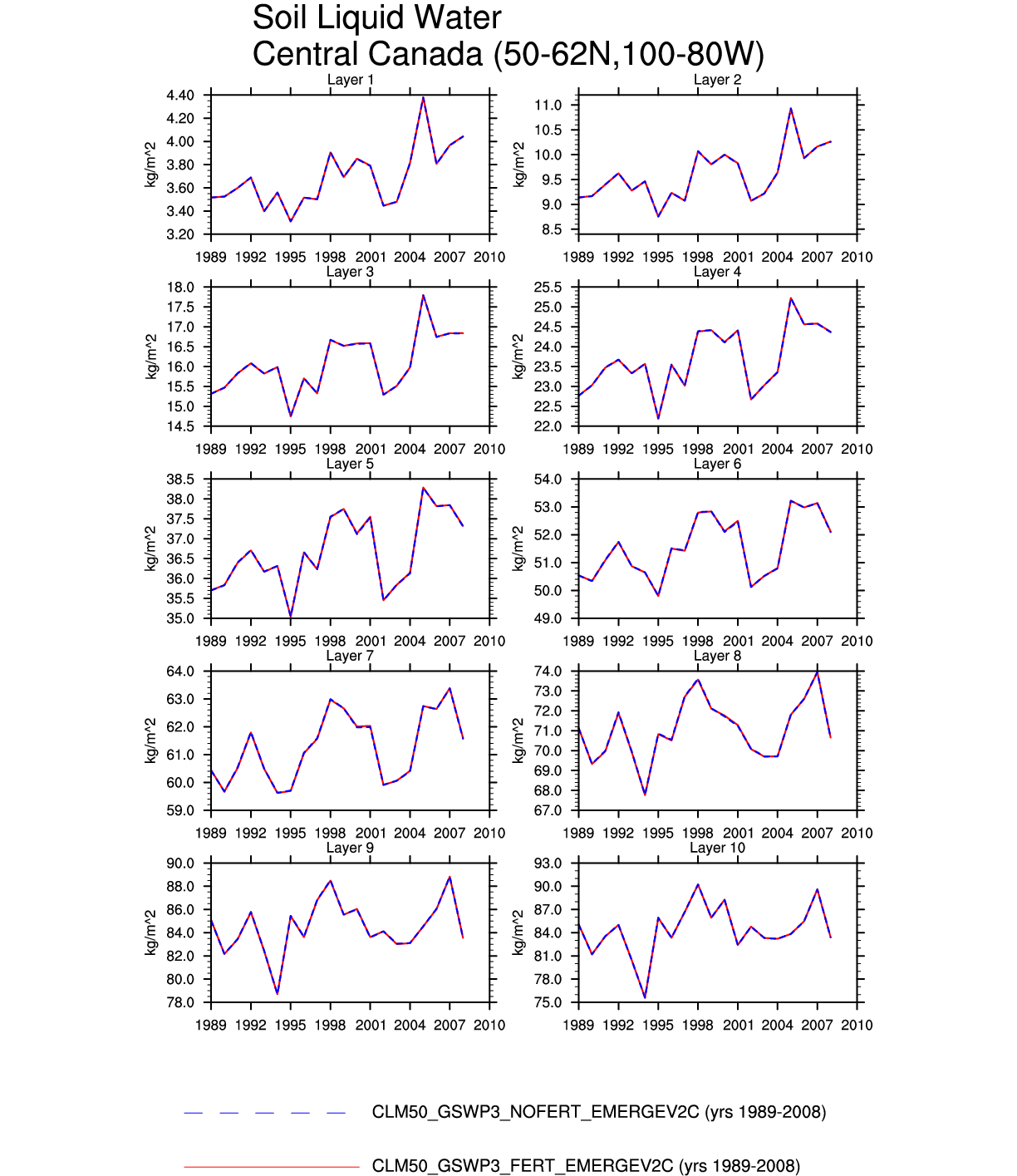
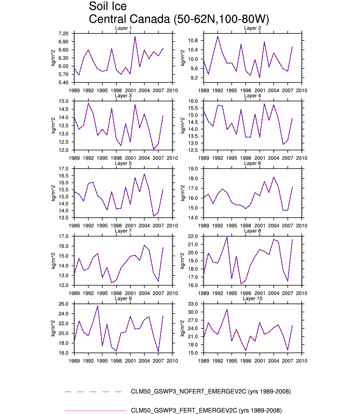
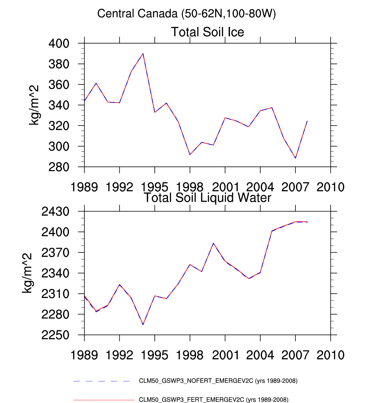
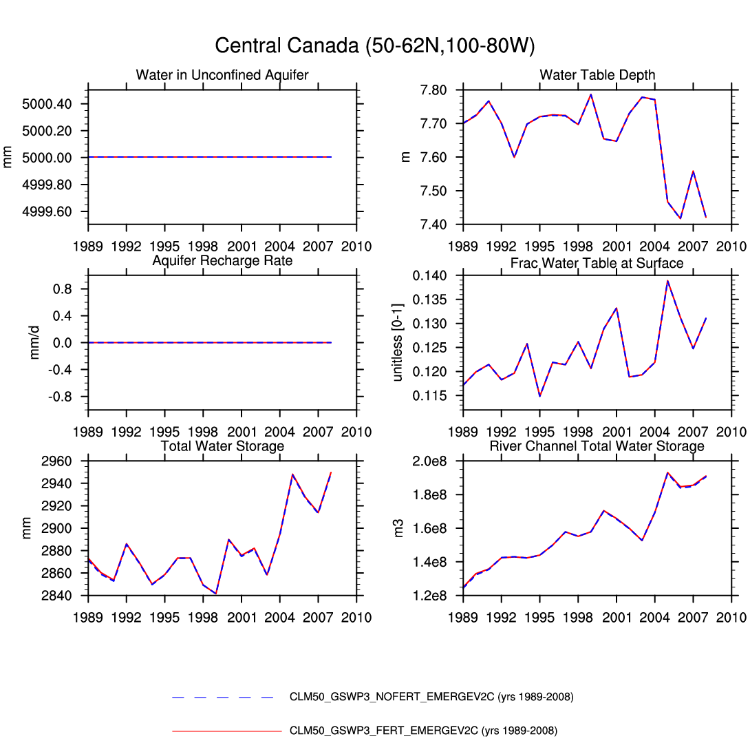
| Central Canada | -- | -- | -- | -- | -- | -- | -- | -- | plot | plot | plot | -- | plot |
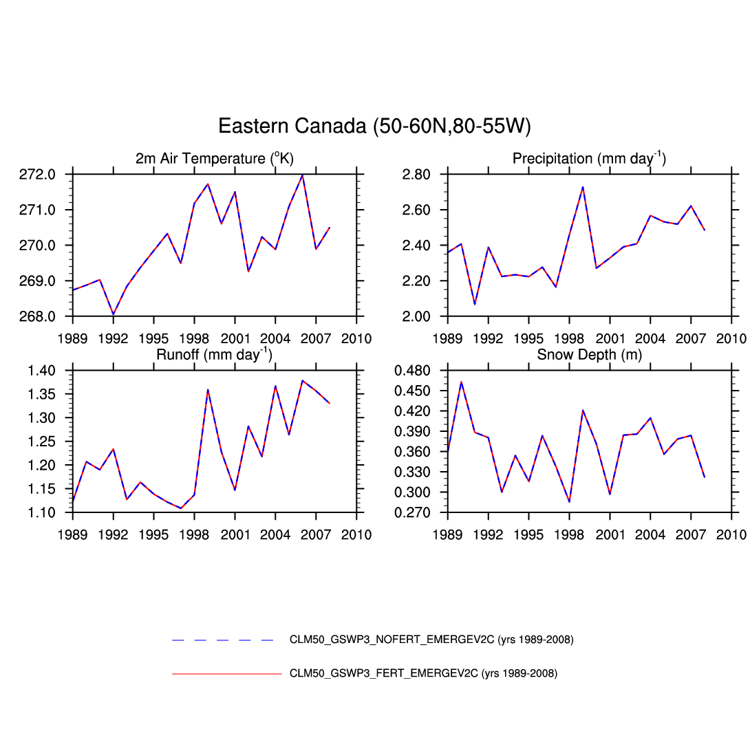
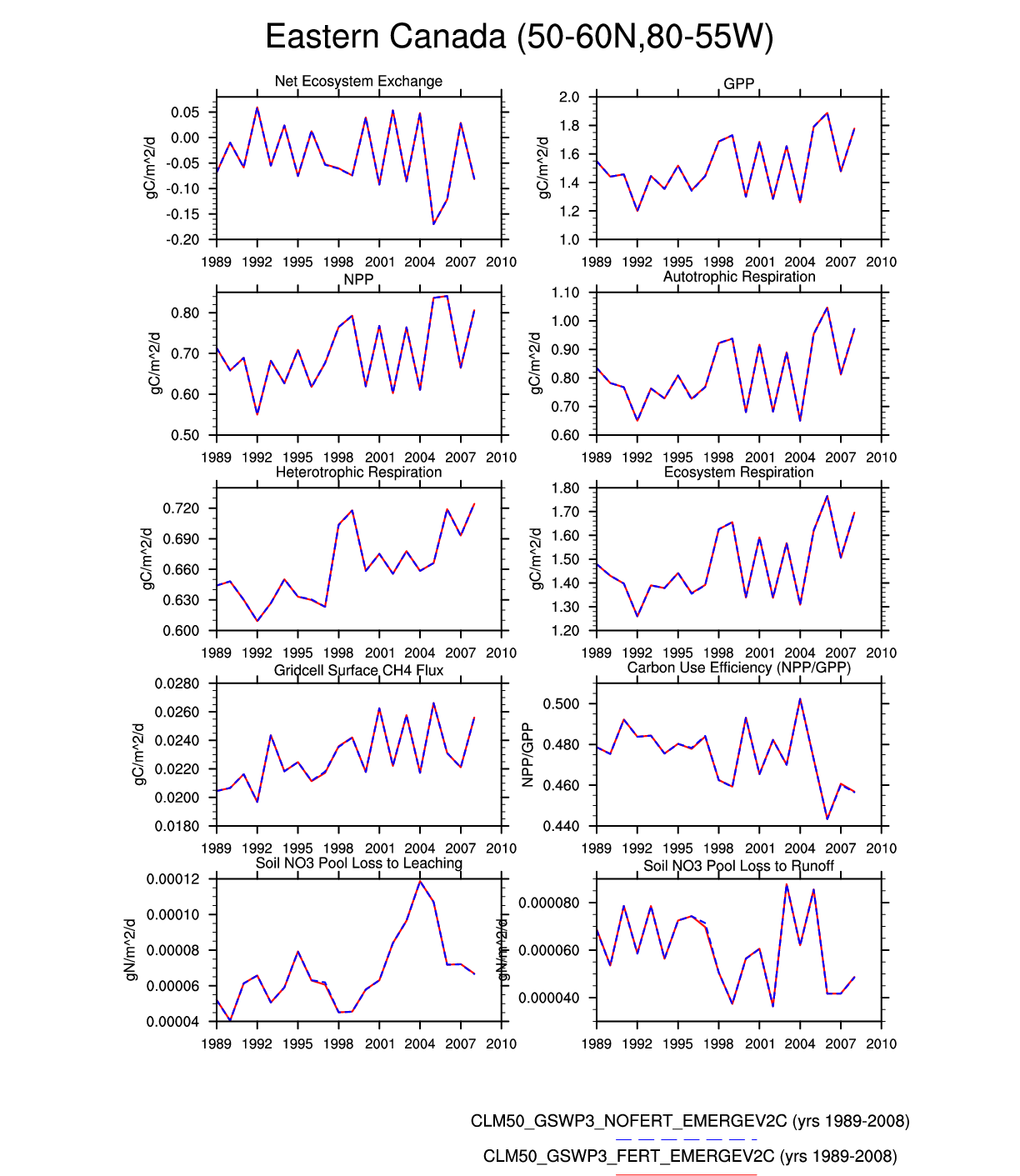
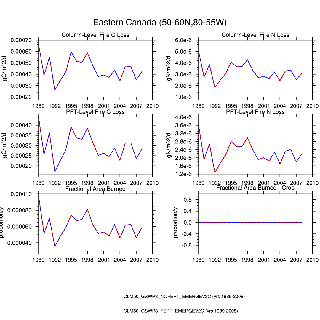
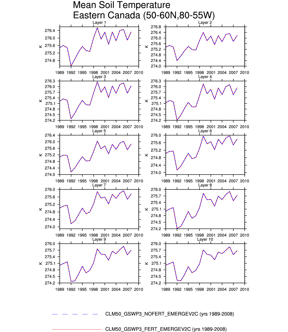
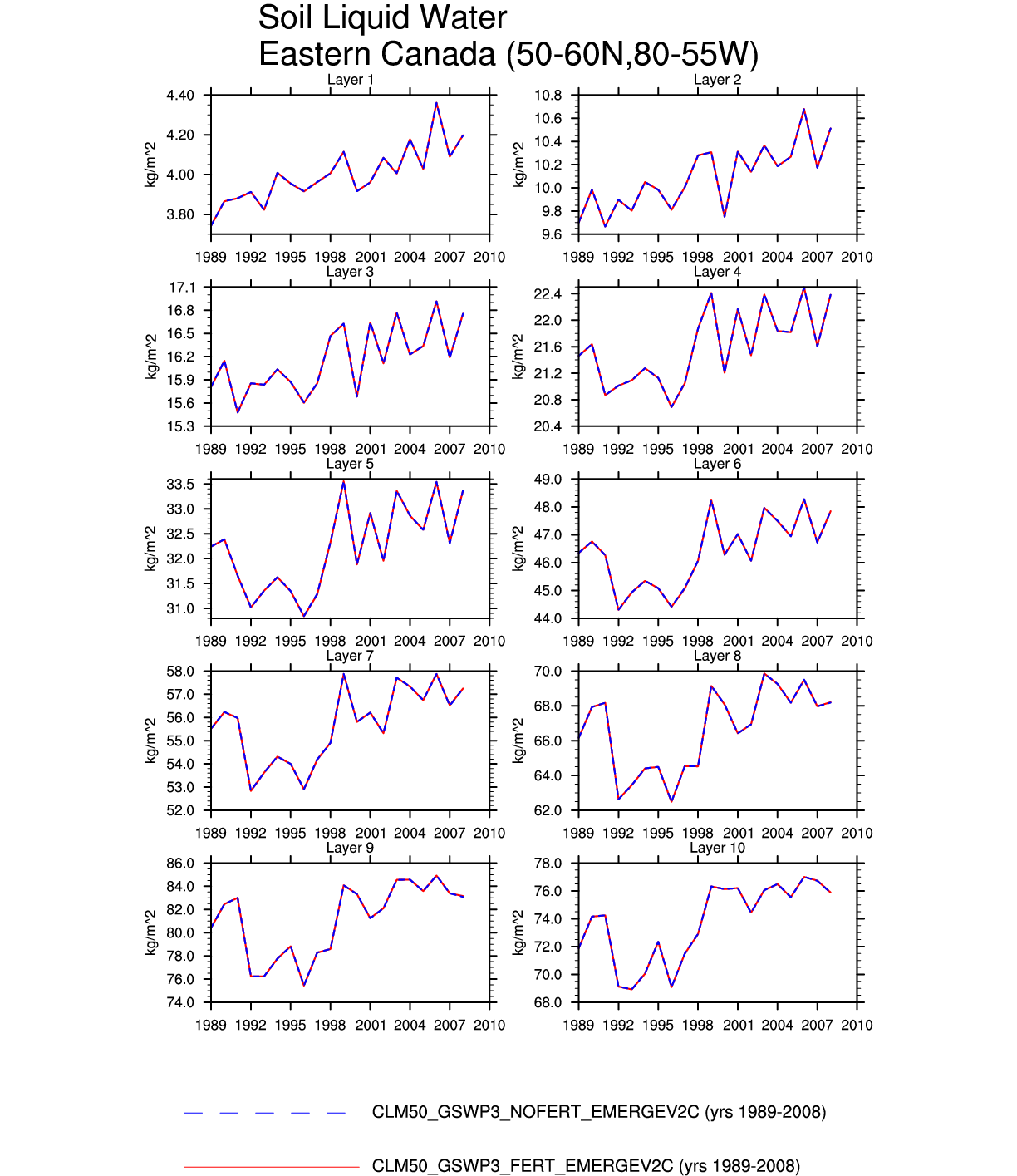
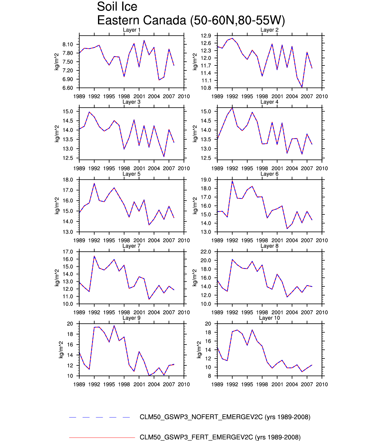
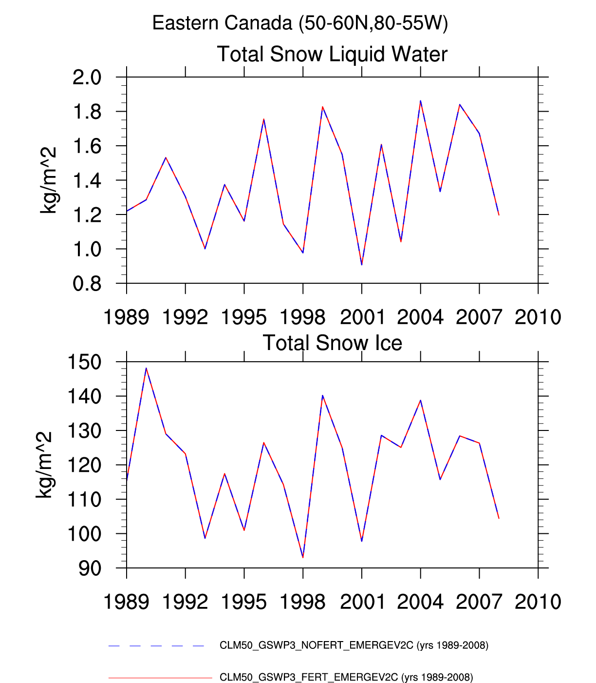
| Eastern Canada | -- | plot | -- | -- | plot | plot | -- | plot | plot | plot | -- | plot | -- |
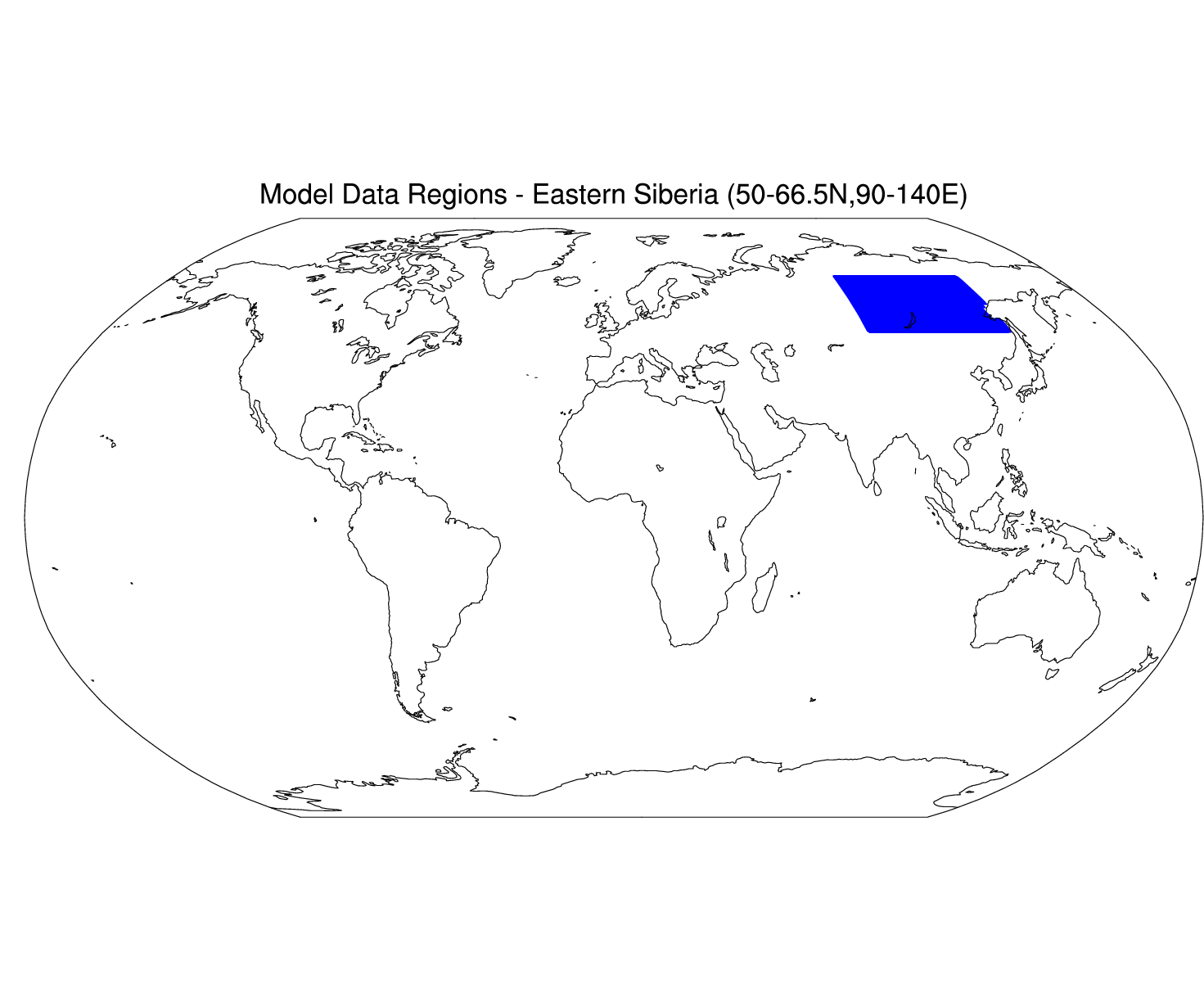
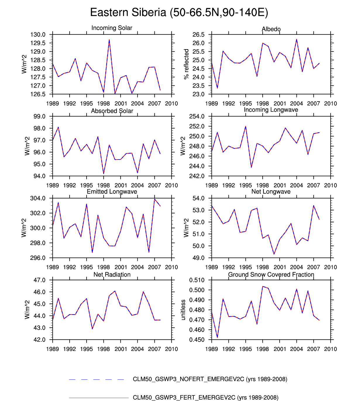
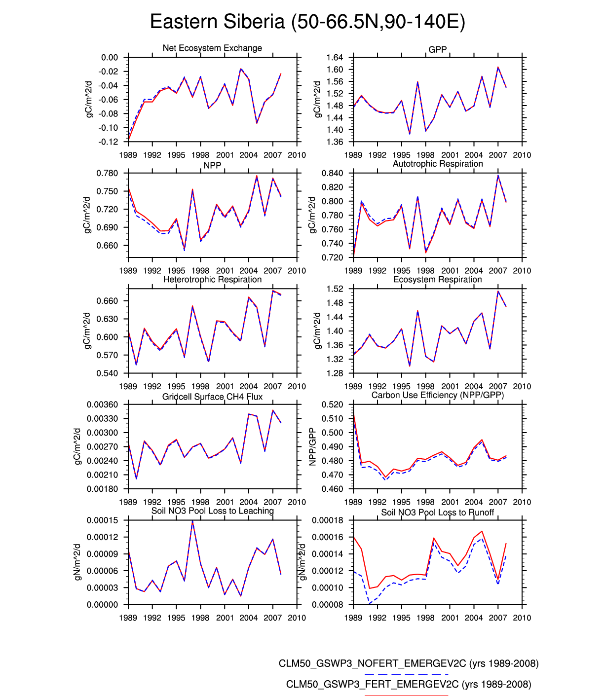
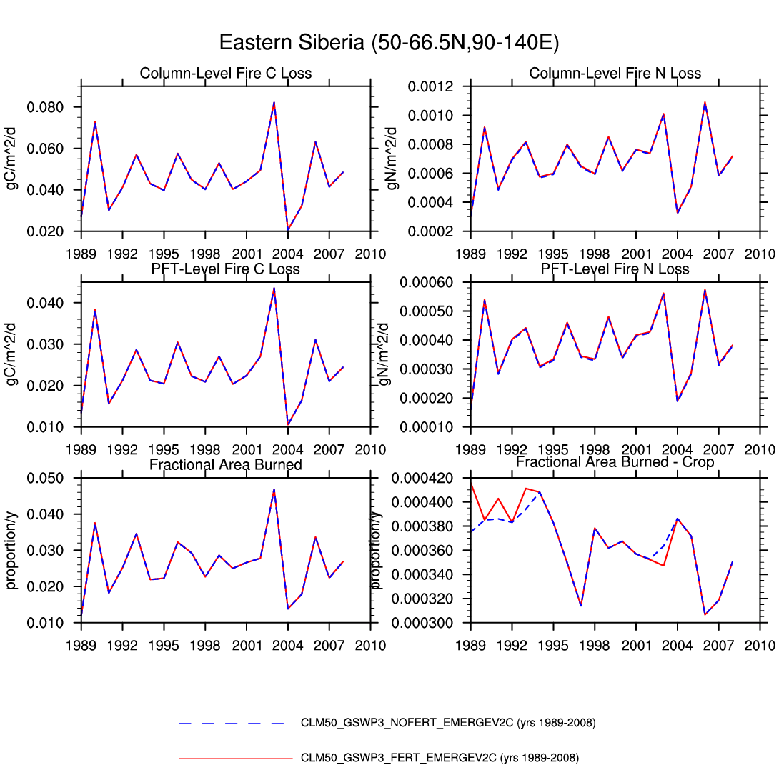
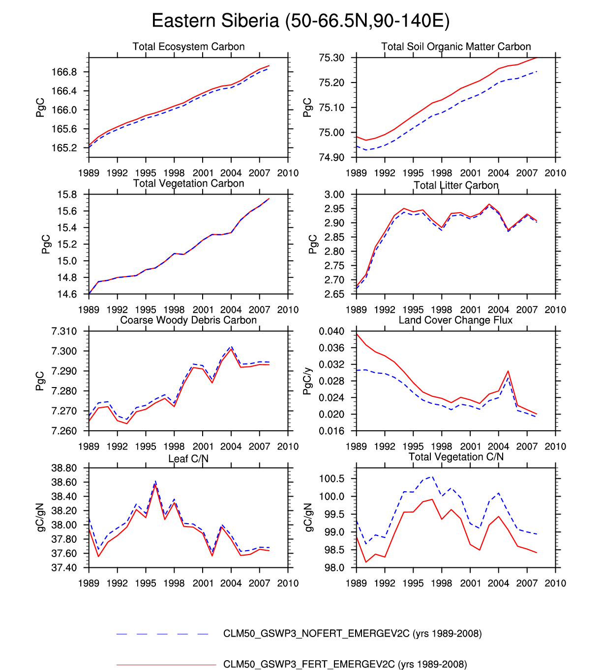
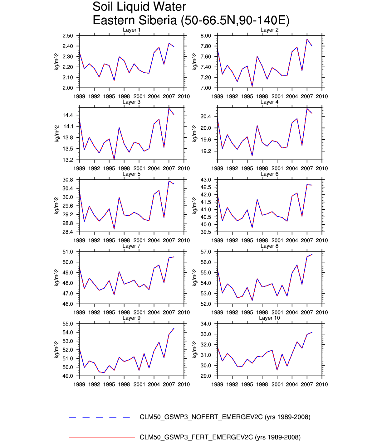
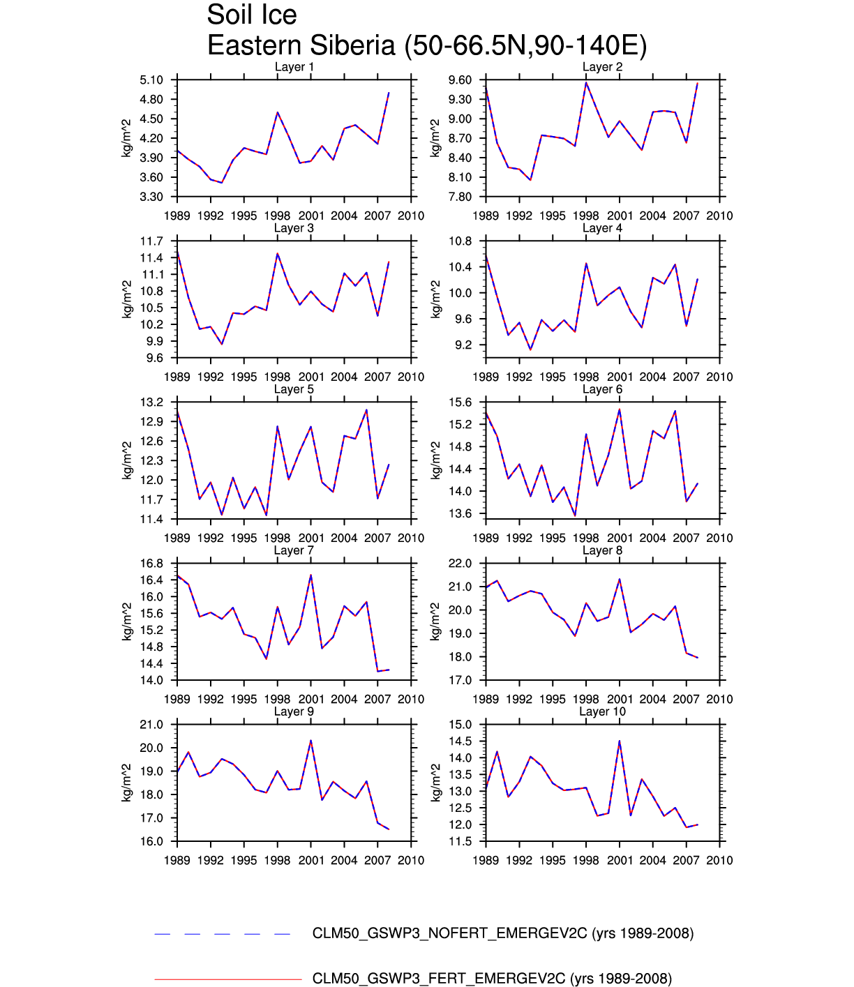
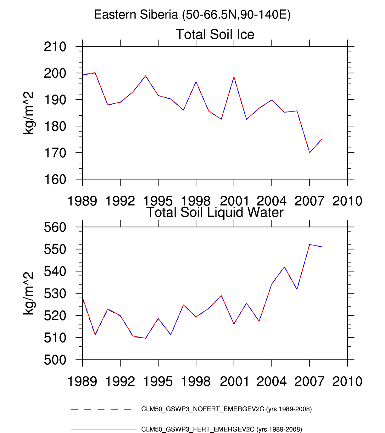
| Eastern Siberia | map | -- | plot | -- | plot | plot | plot | -- | plot | plot | plot | -- | -- |
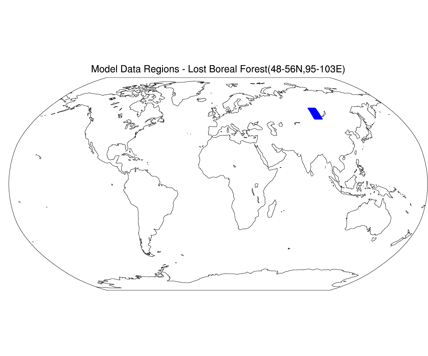
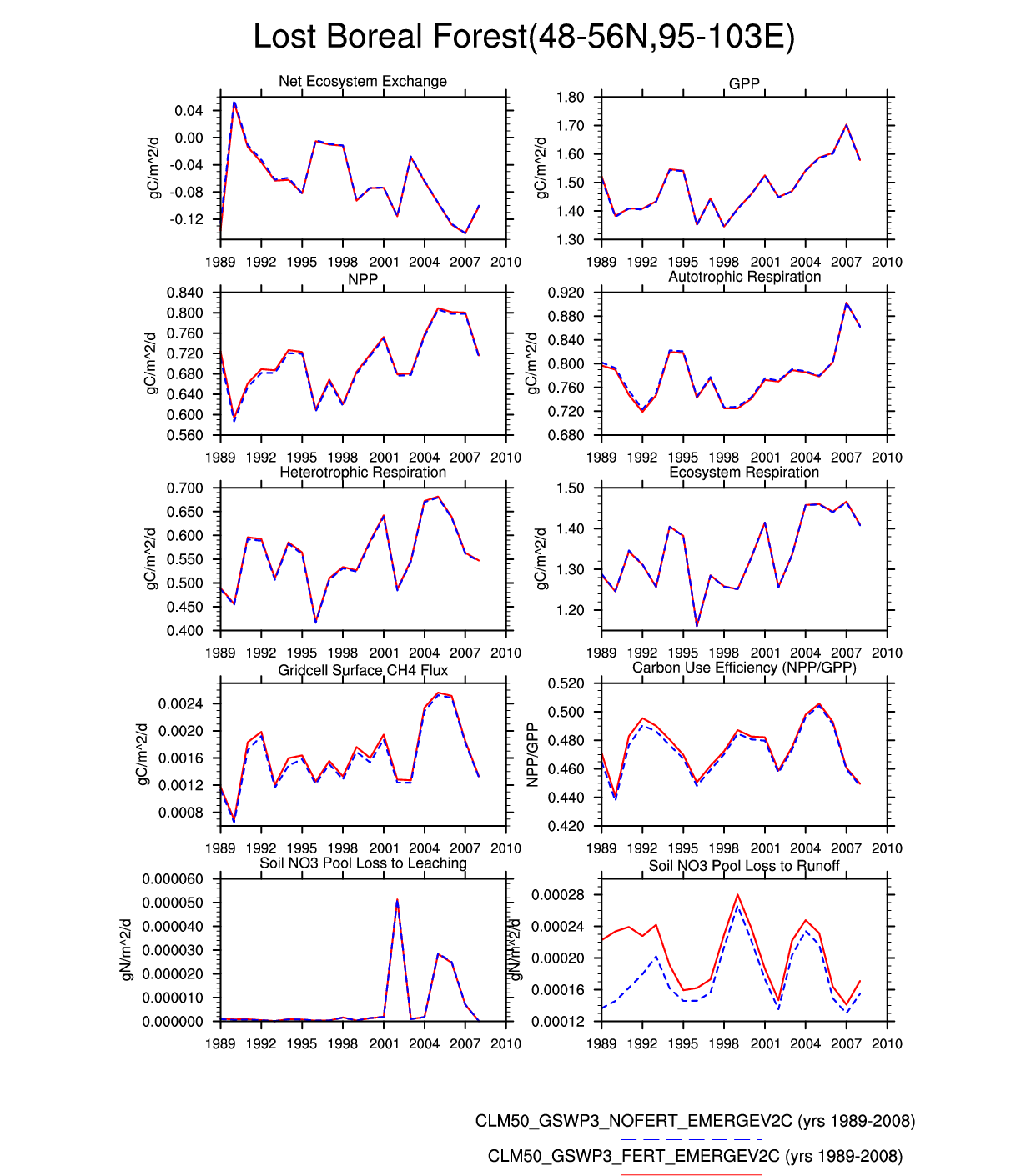
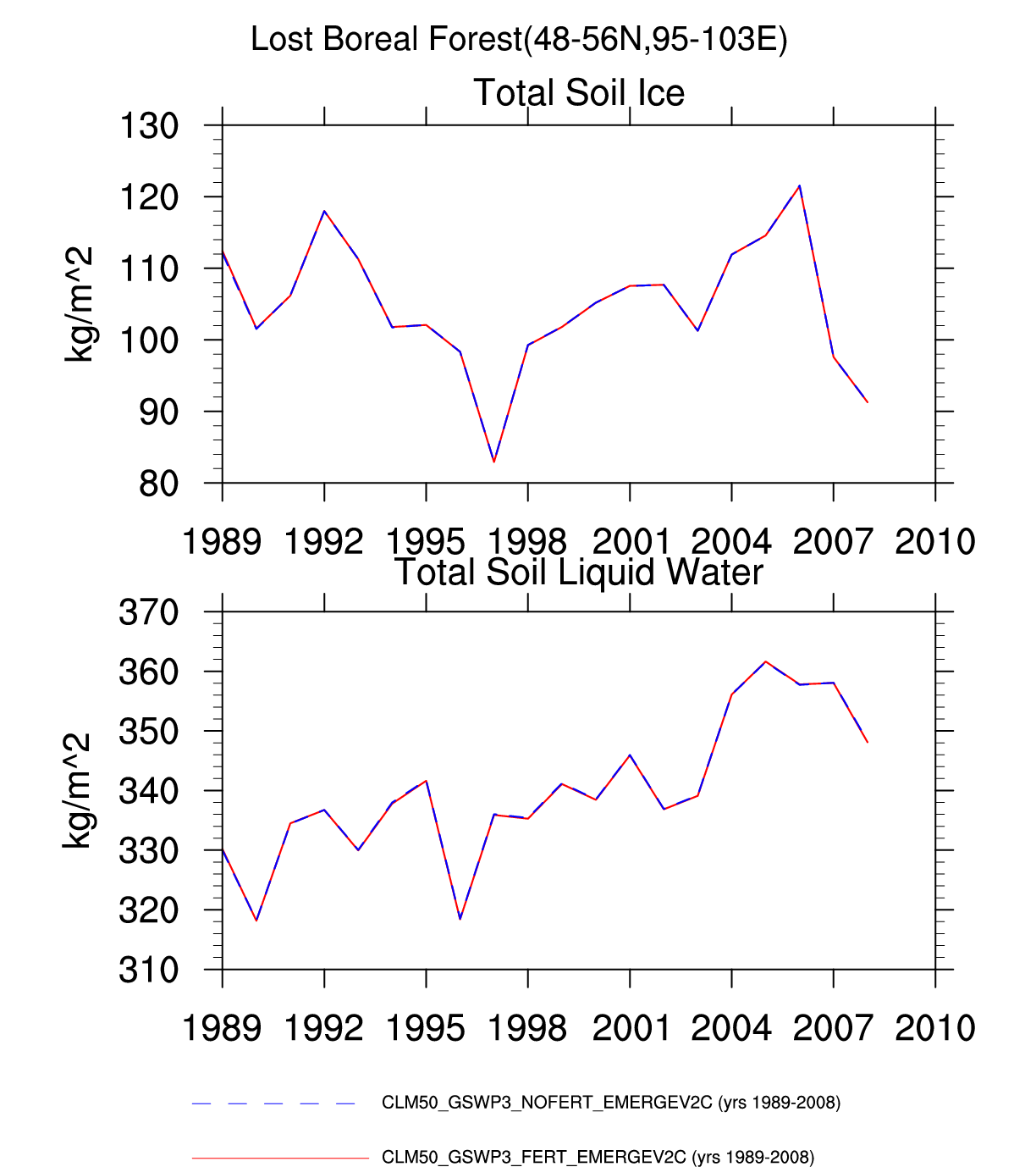
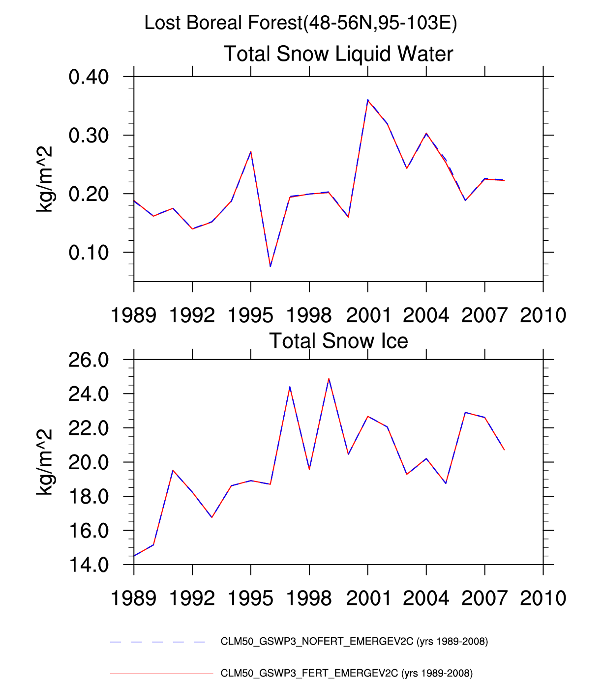
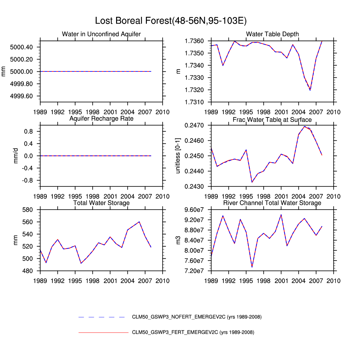
| Lost Boreal Forest | map | -- | -- | -- | plot | -- | -- | -- | -- | -- | plot | plot | plot |
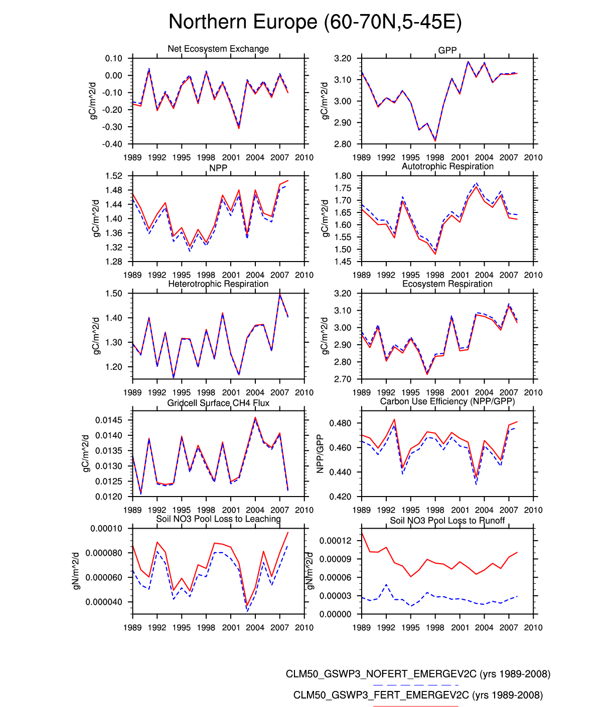
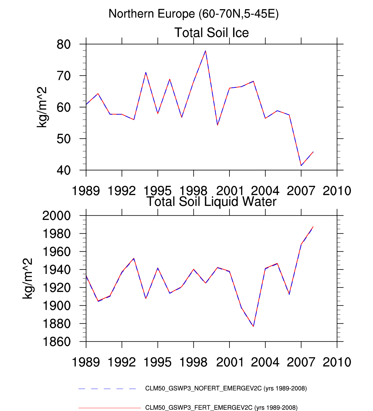
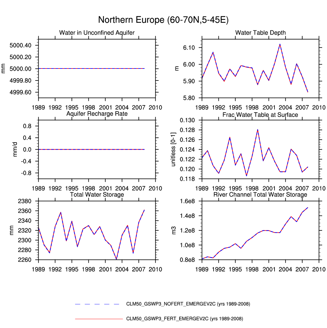
| Northern Europe | -- | -- | -- | plot | plot | -- | -- | -- | -- | -- | plot | -- | plot |
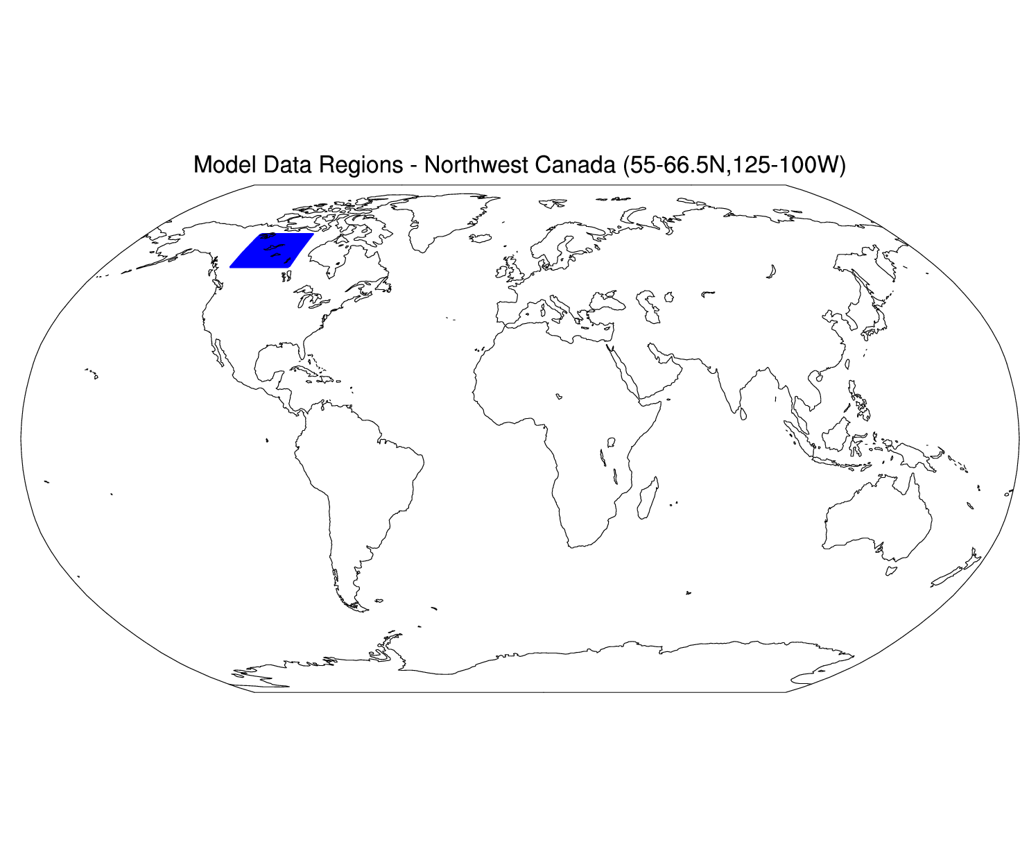
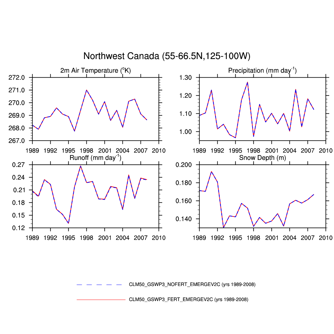
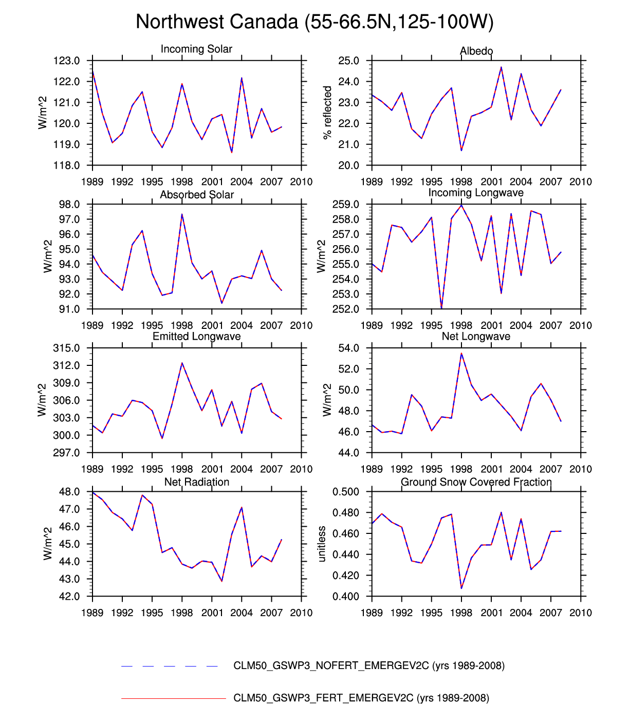
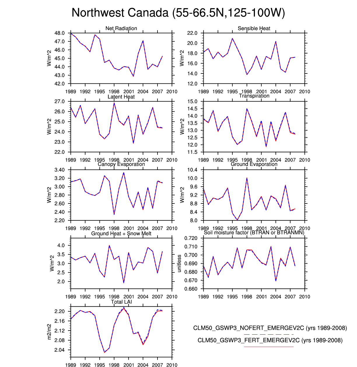
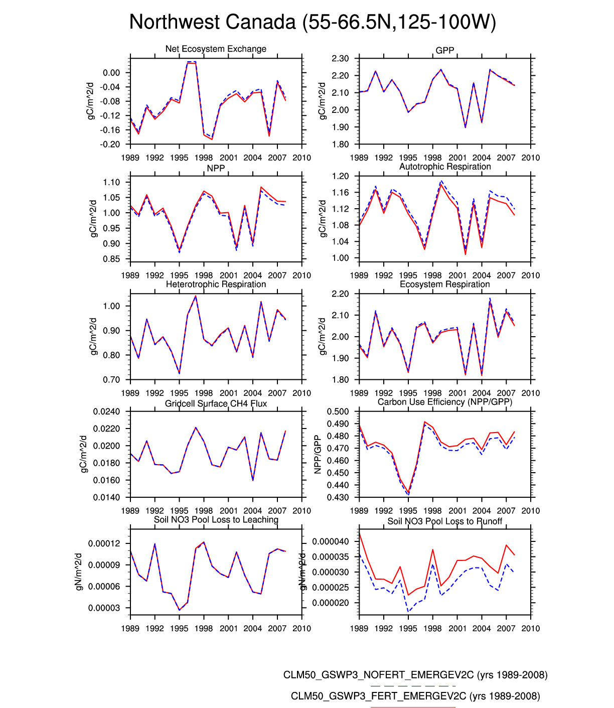
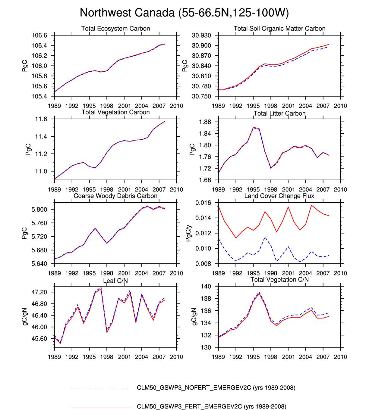
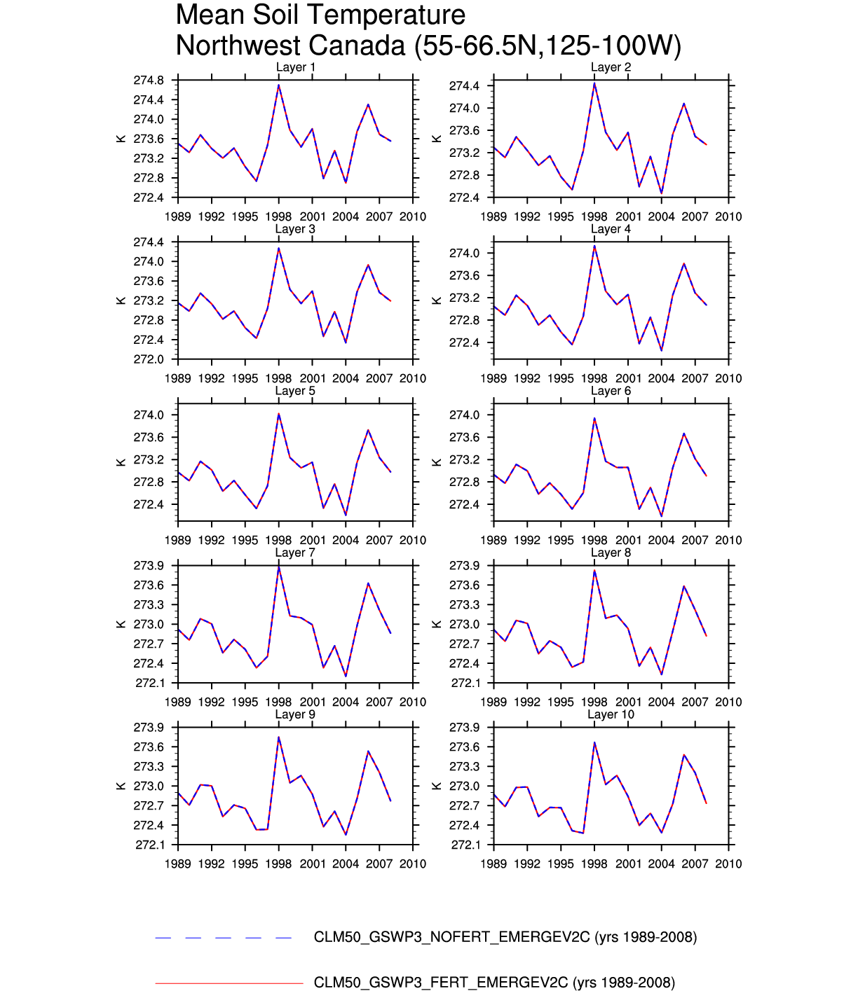
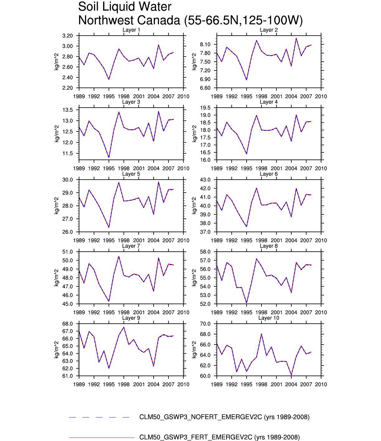
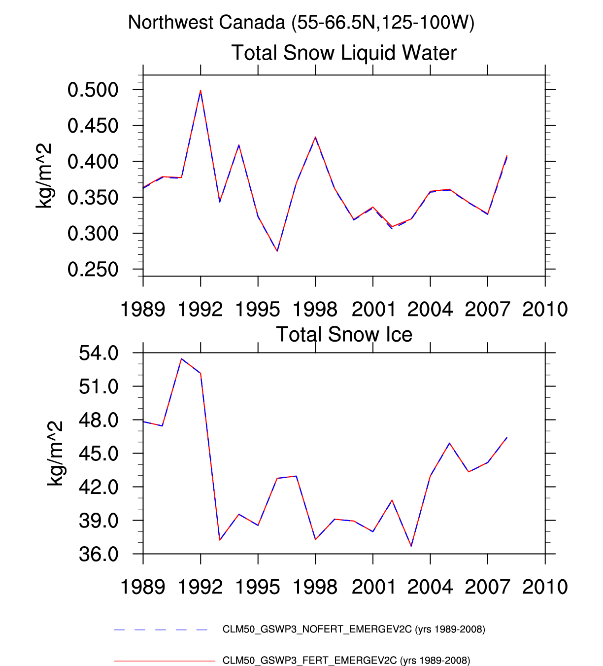
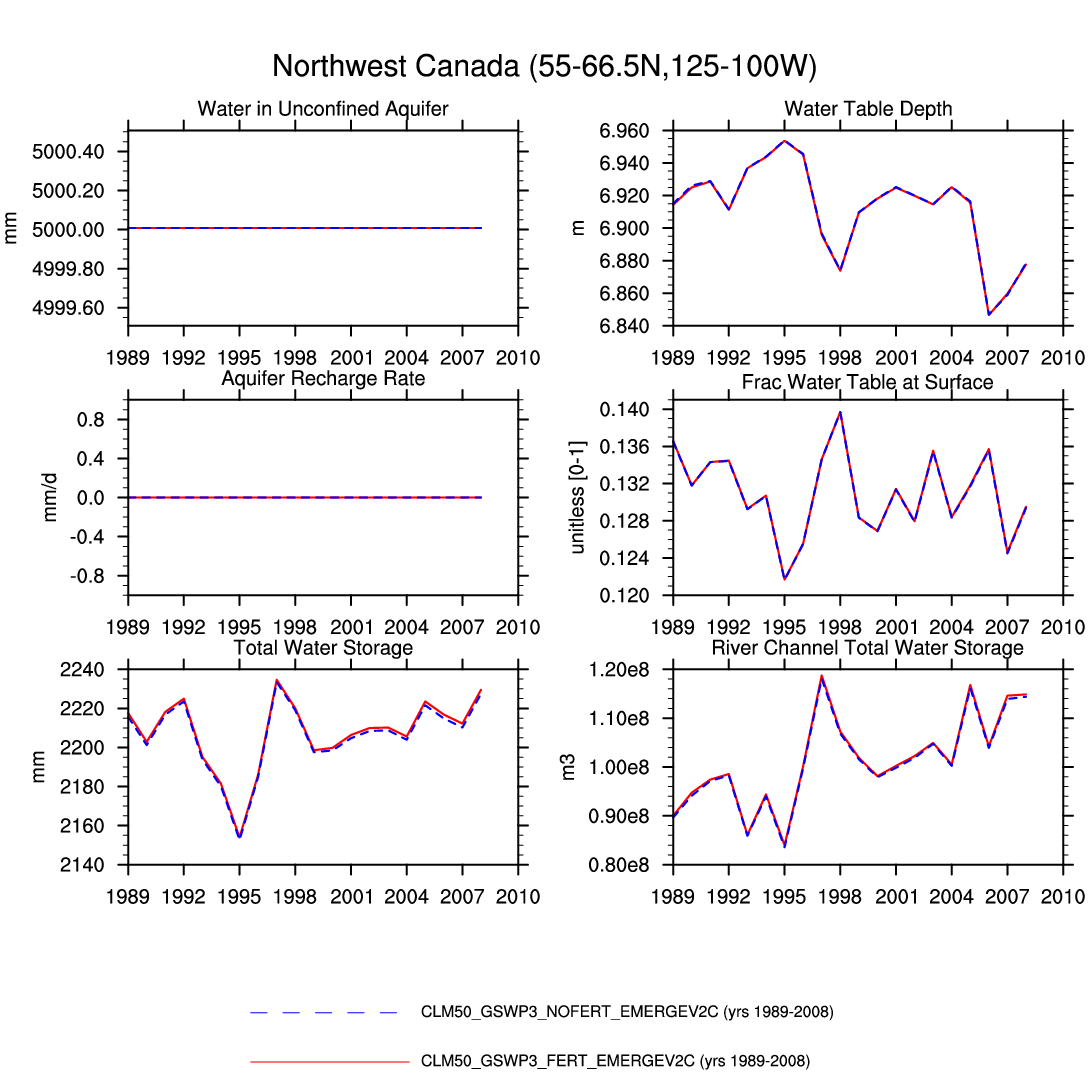
| Northwest Canada | map | plot | plot | plot | plot | -- | plot | plot | plot | -- | -- | plot | plot |
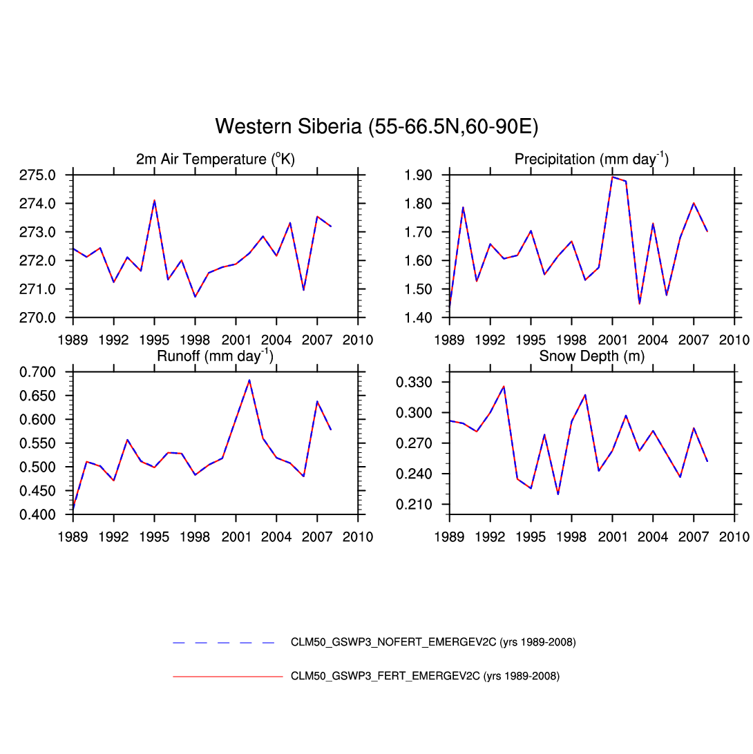
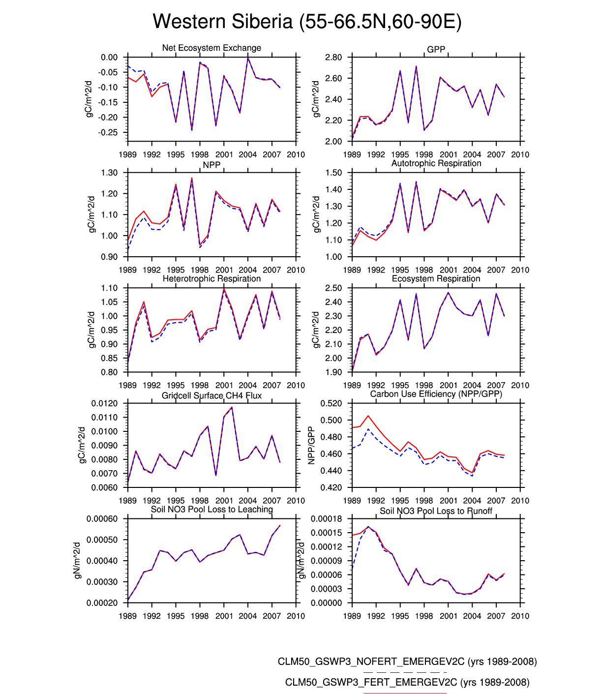
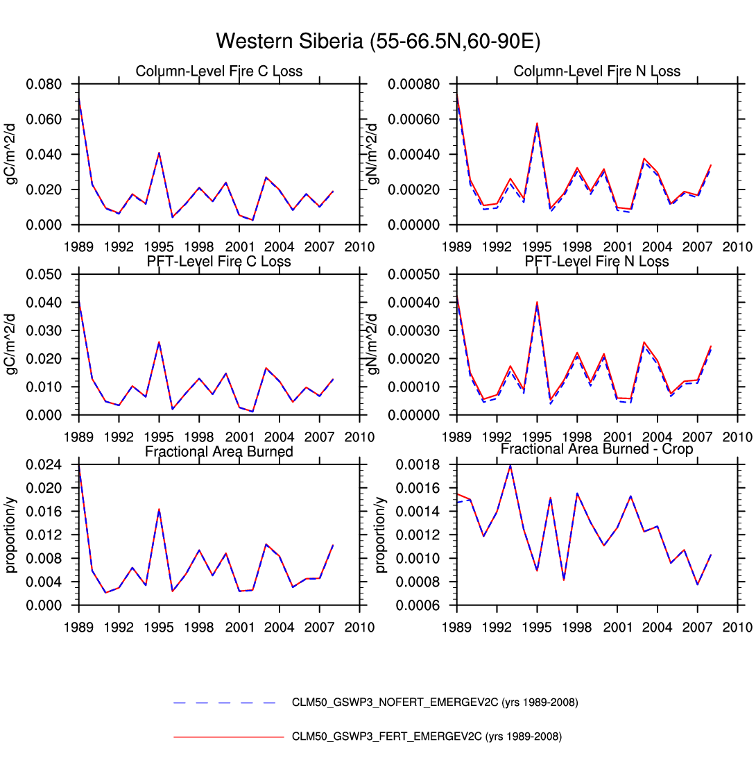
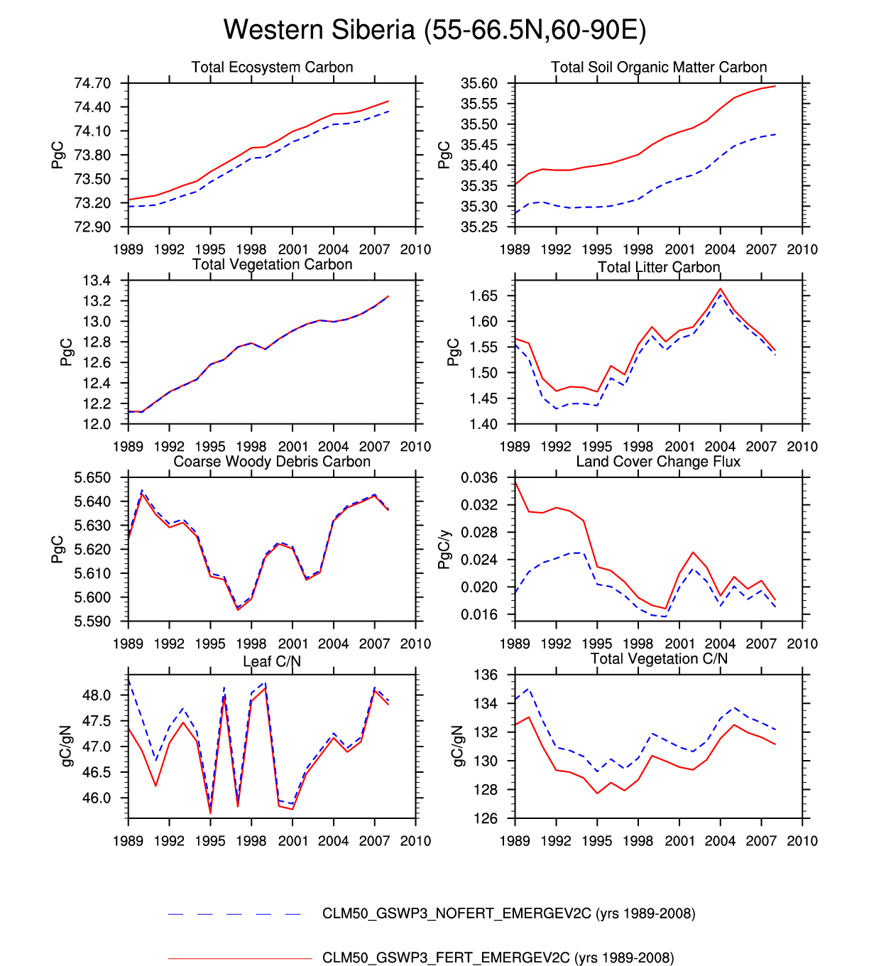
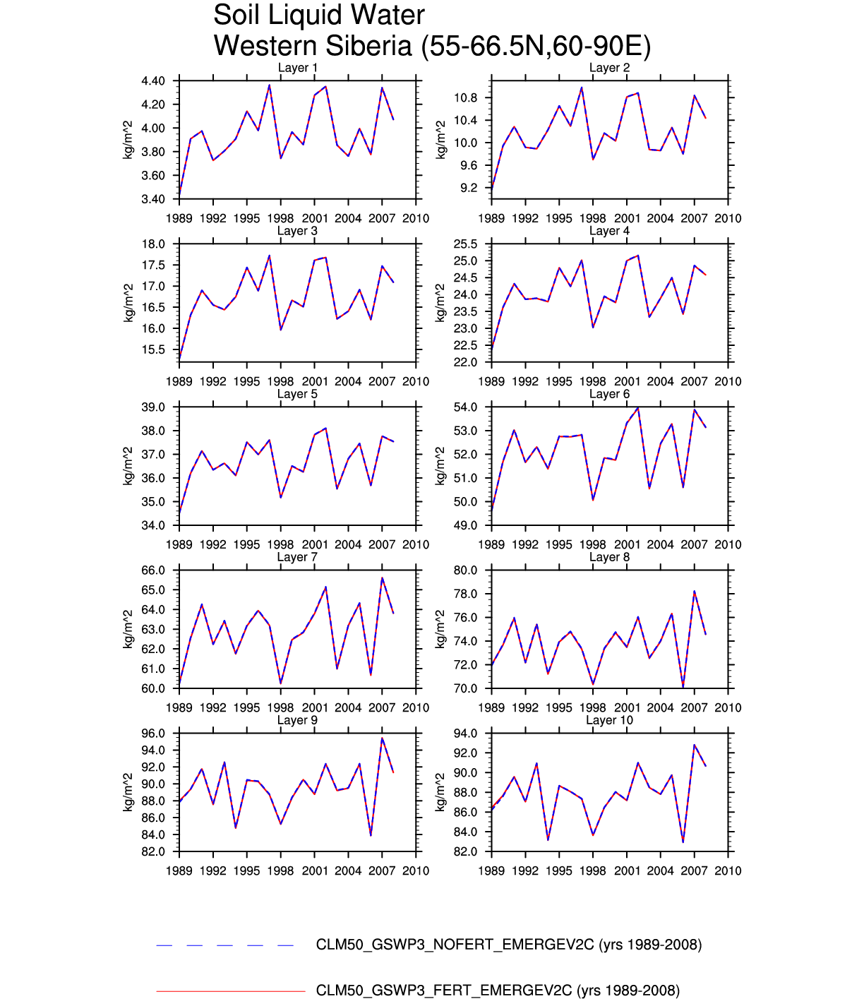
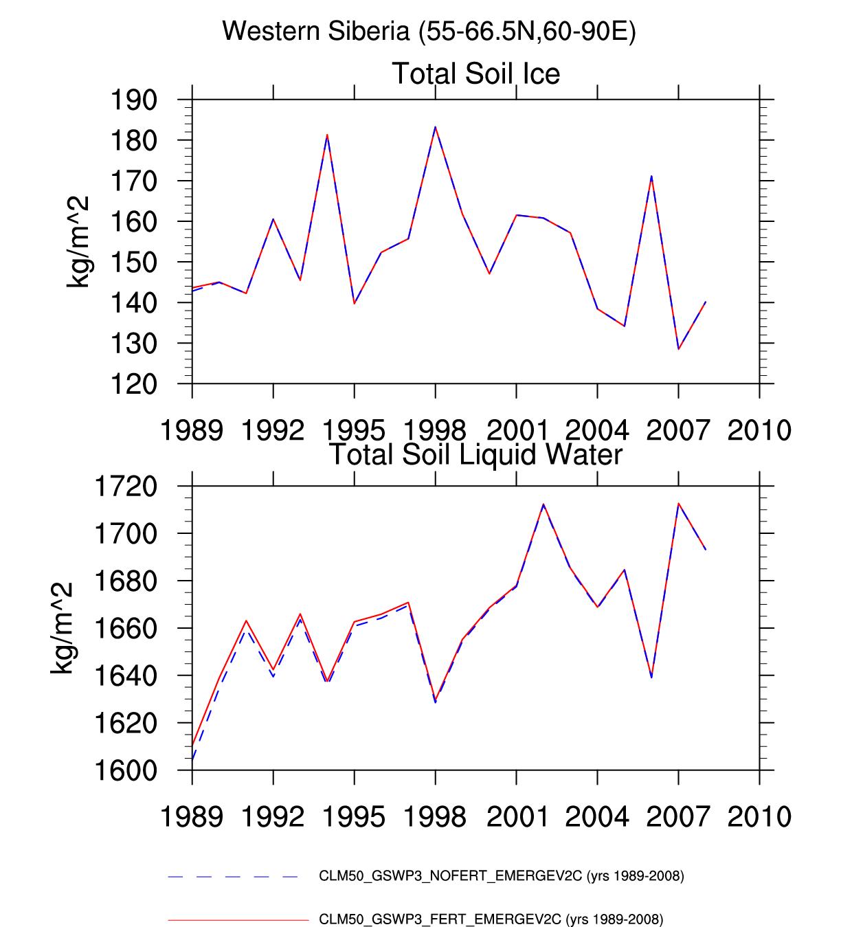
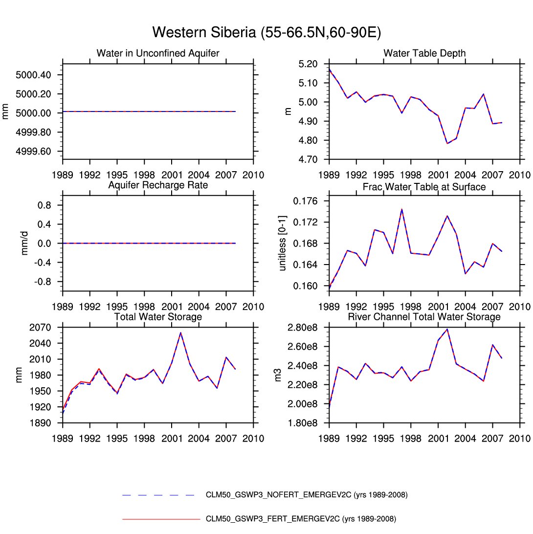
| Western Siberia | -- | plot | -- | -- | plot | plot | plot | -- | plot | -- | plot | -- | plot |
| MIDDLE LATITUDES | |||||||||||||
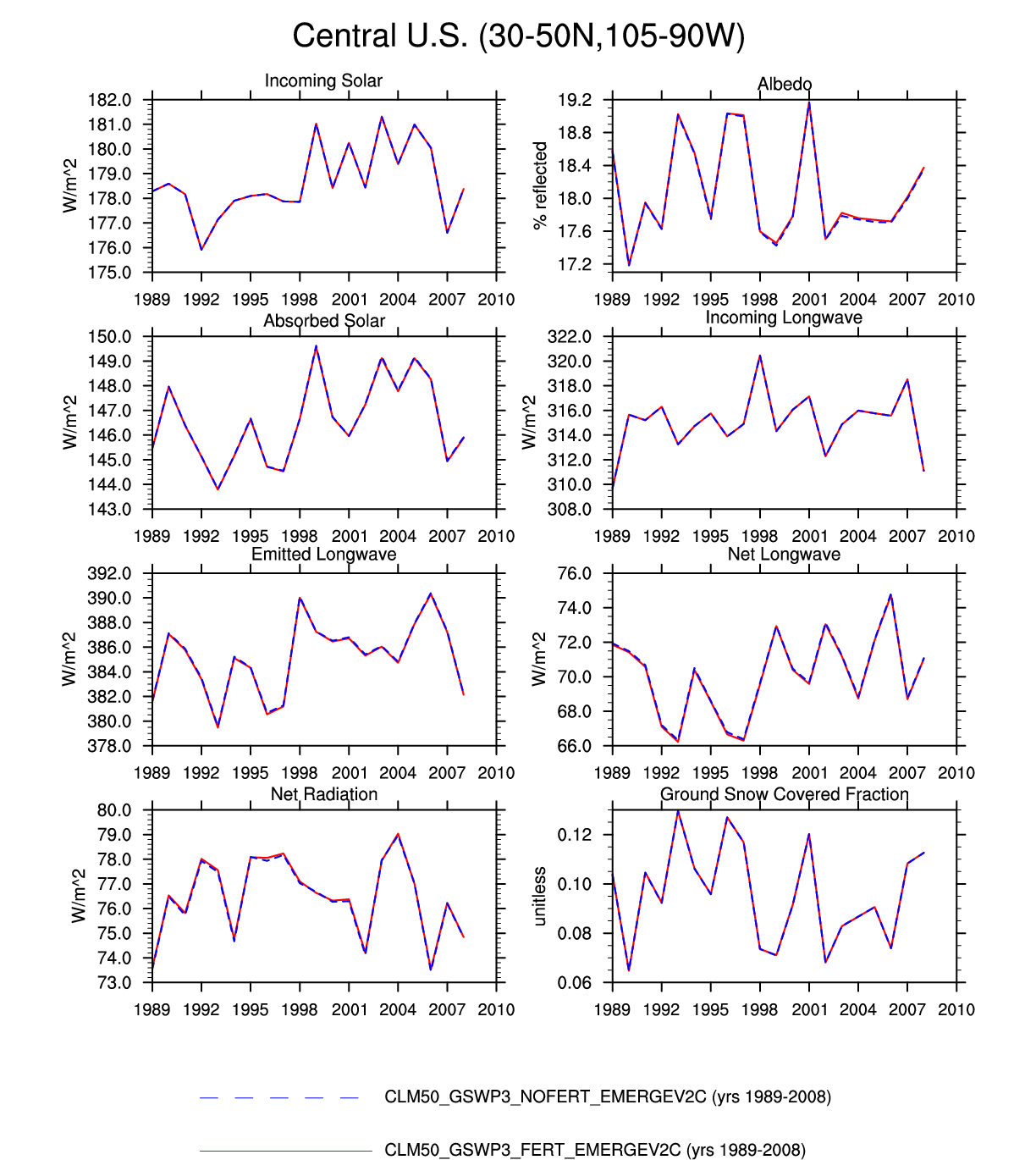
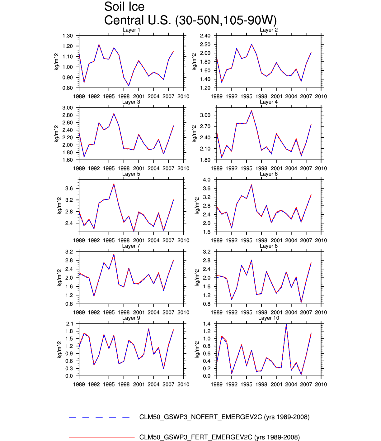
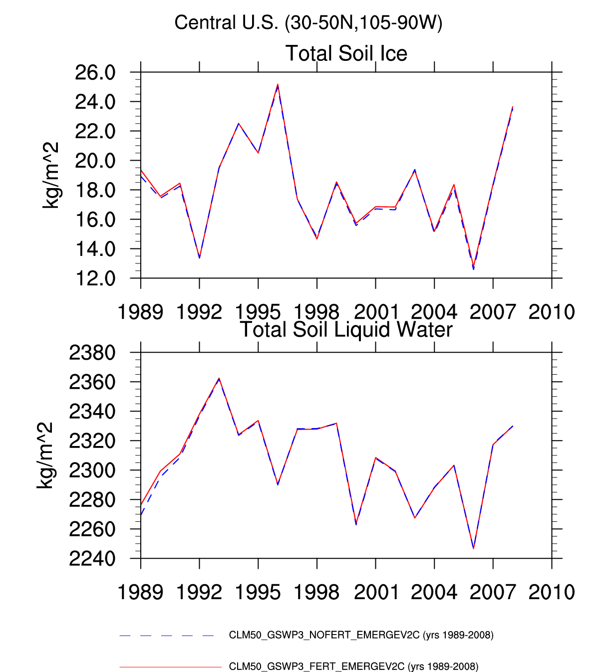
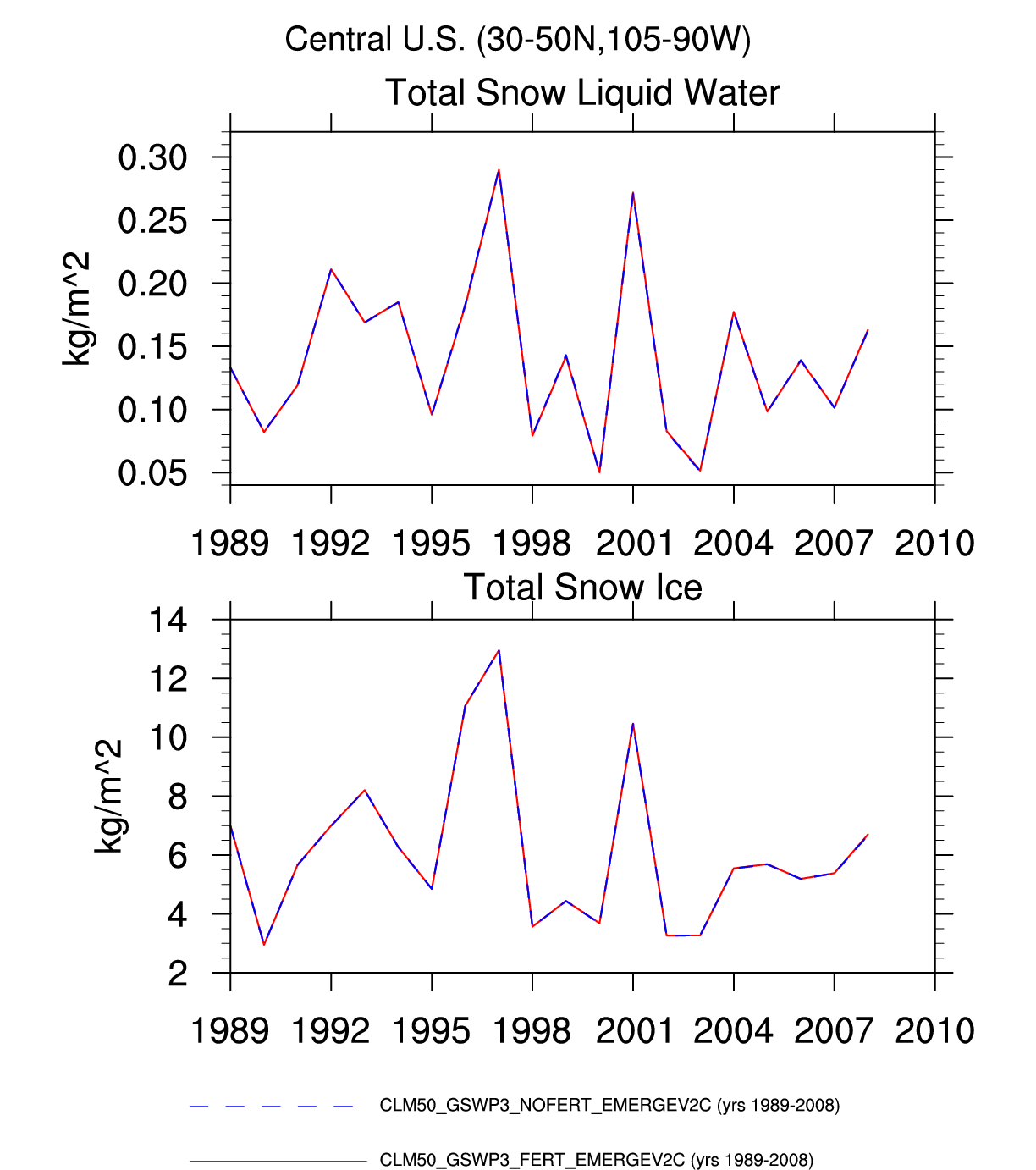
| Central U.S. | -- | -- | plot | -- | -- | -- | plot | -- | -- | plot | plot | plot | -- |
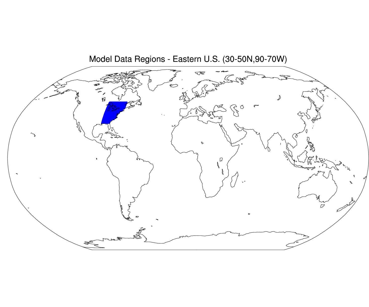
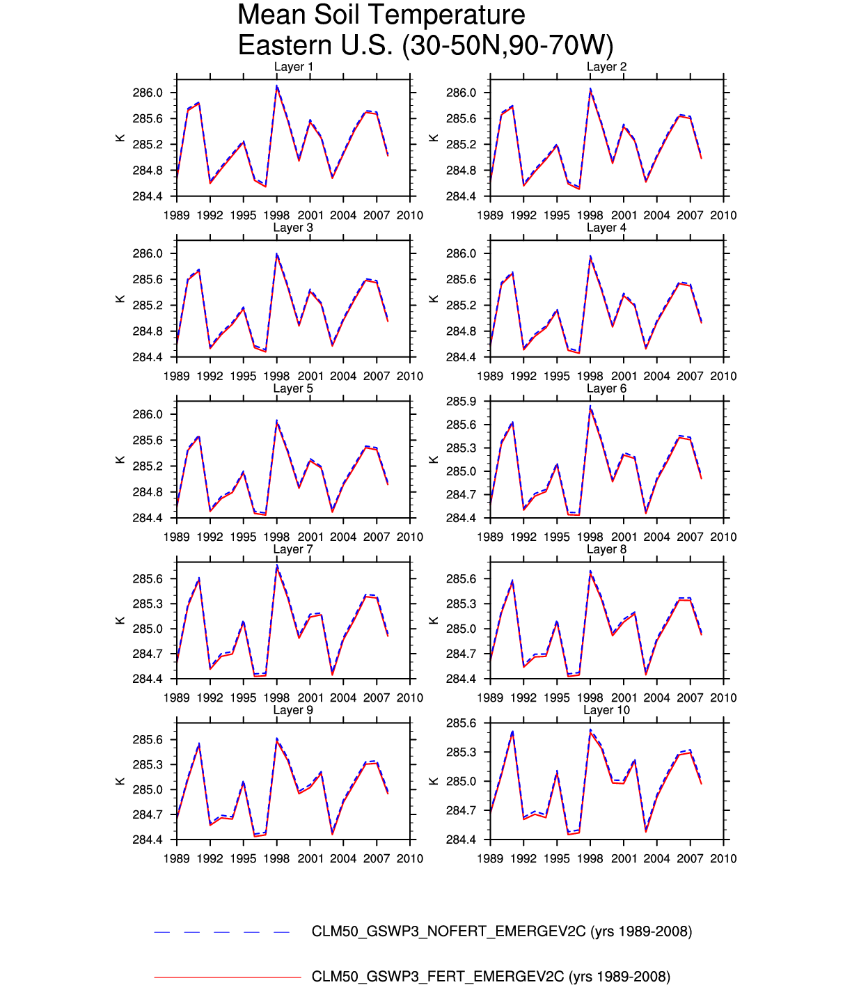
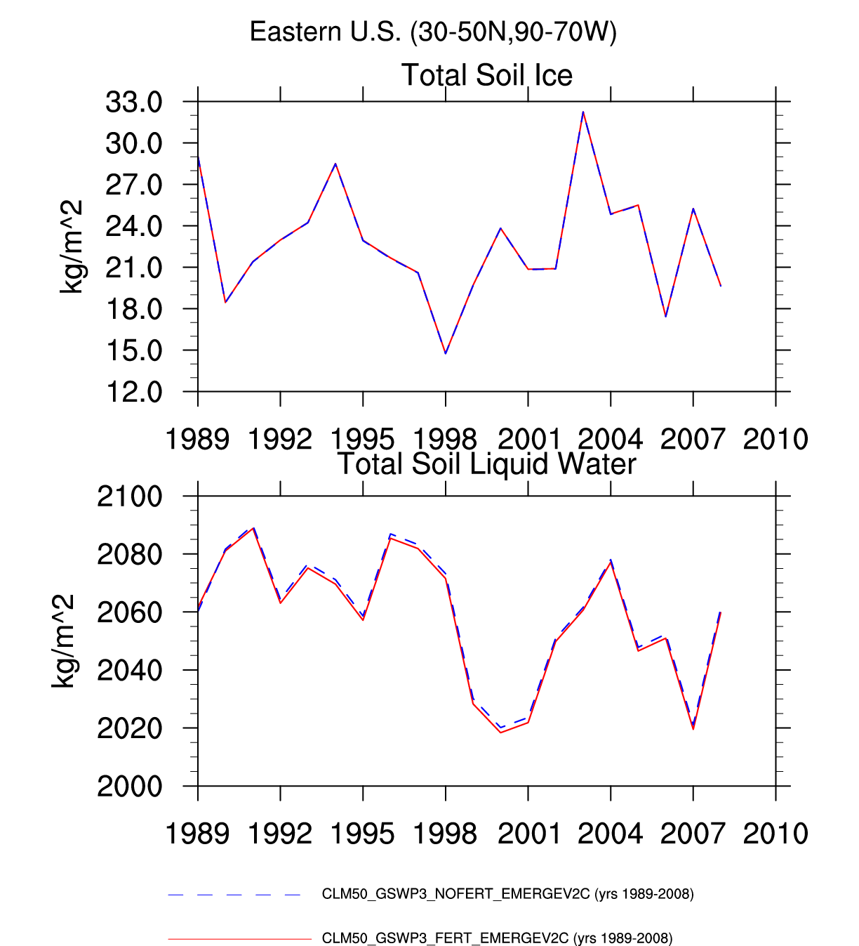
| Eastern U.S. | map | -- | -- | -- | -- | -- | -- | plot | -- | -- | plot | plot | -- |
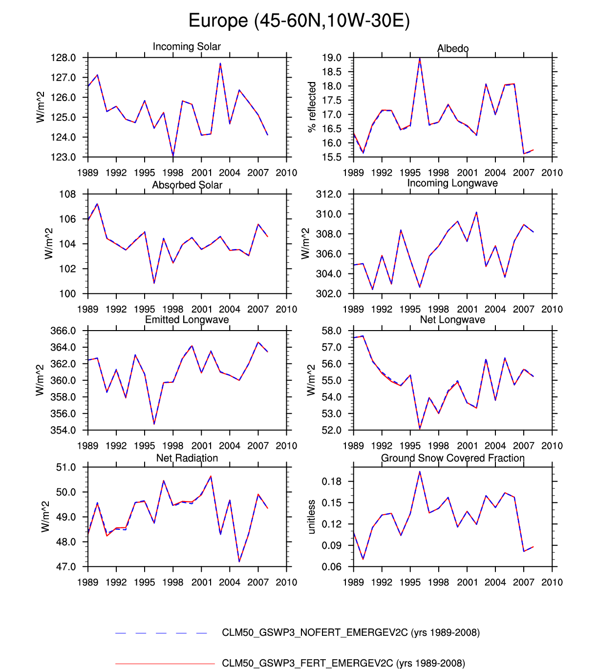
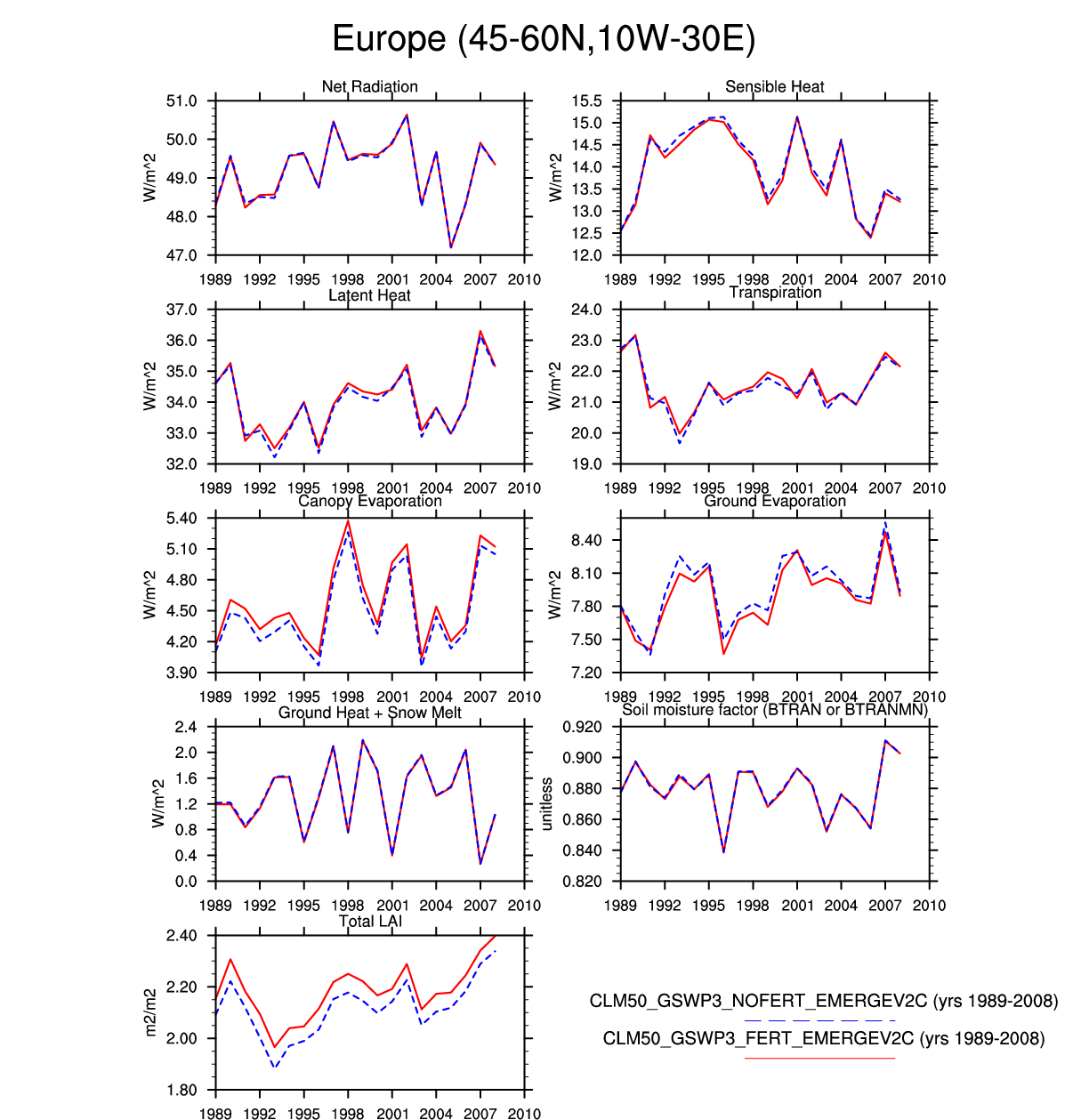
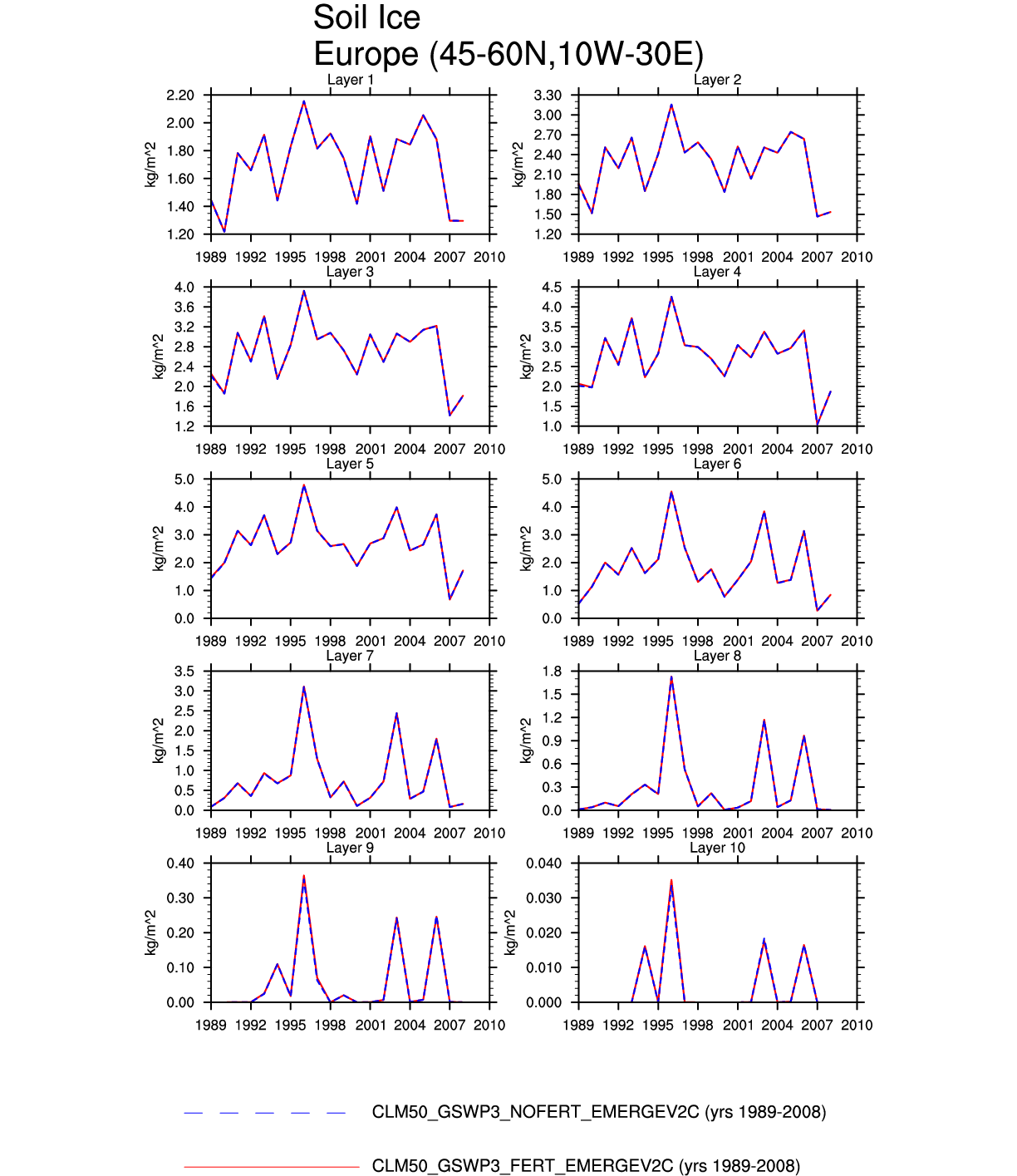
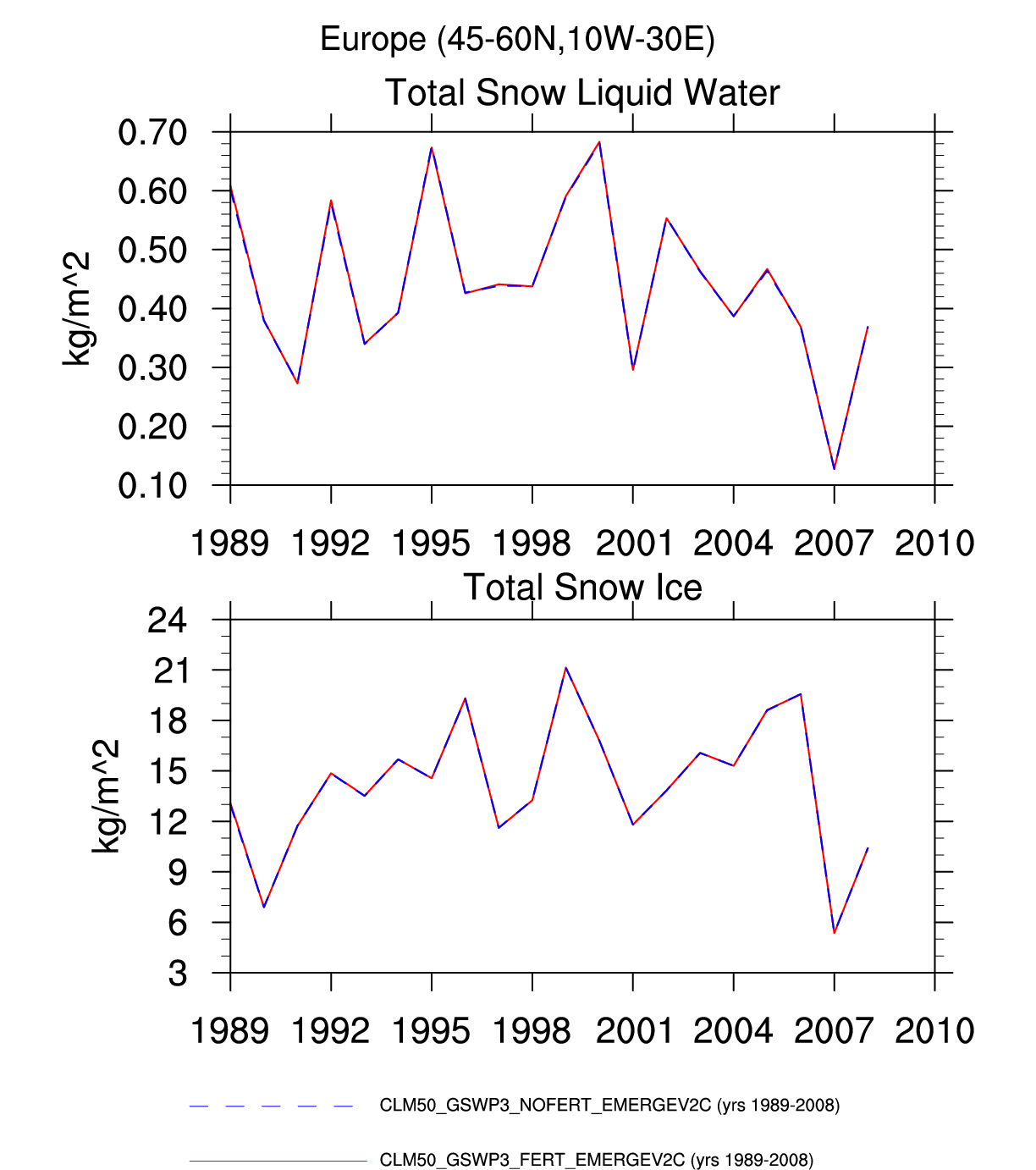
| Europe | -- | -- | plot | plot | -- | -- | -- | -- | -- | plot | -- | plot | -- |
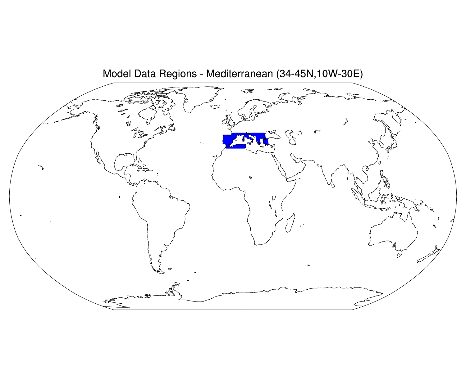
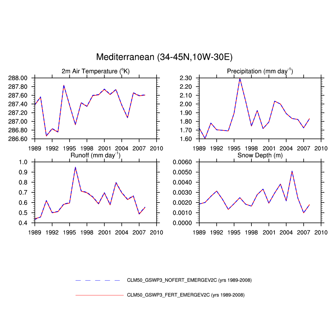
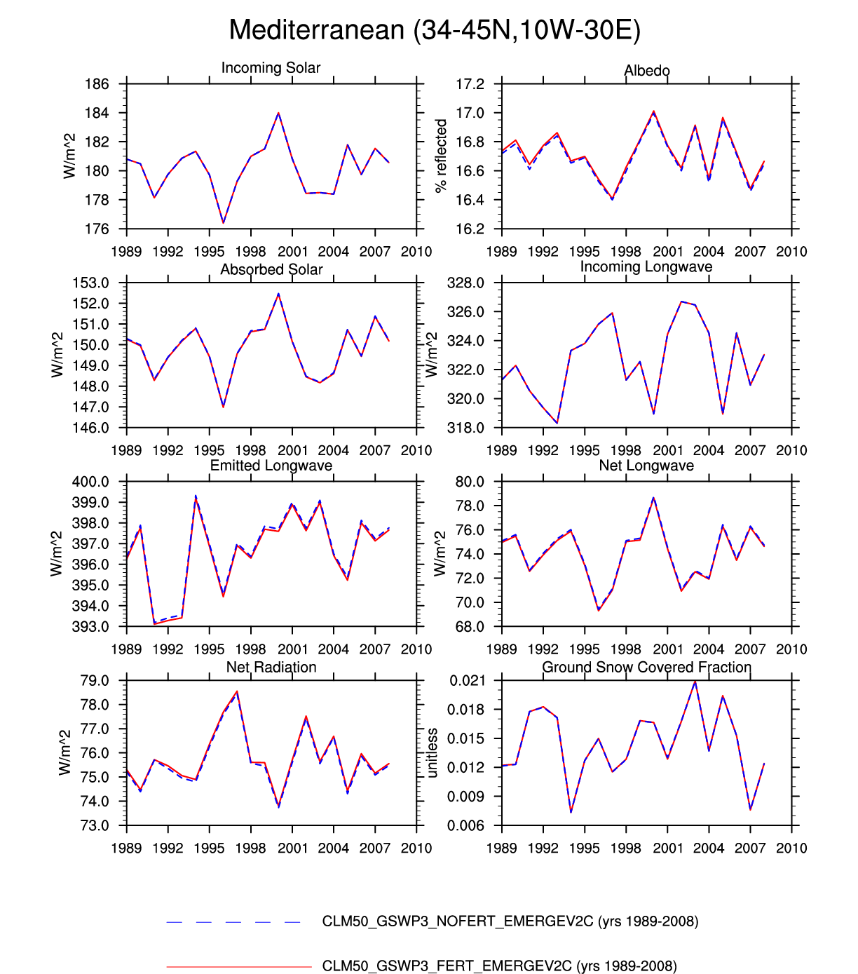
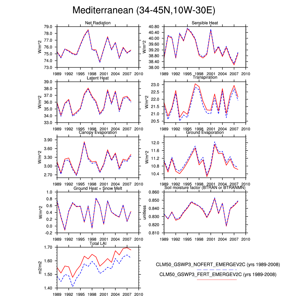
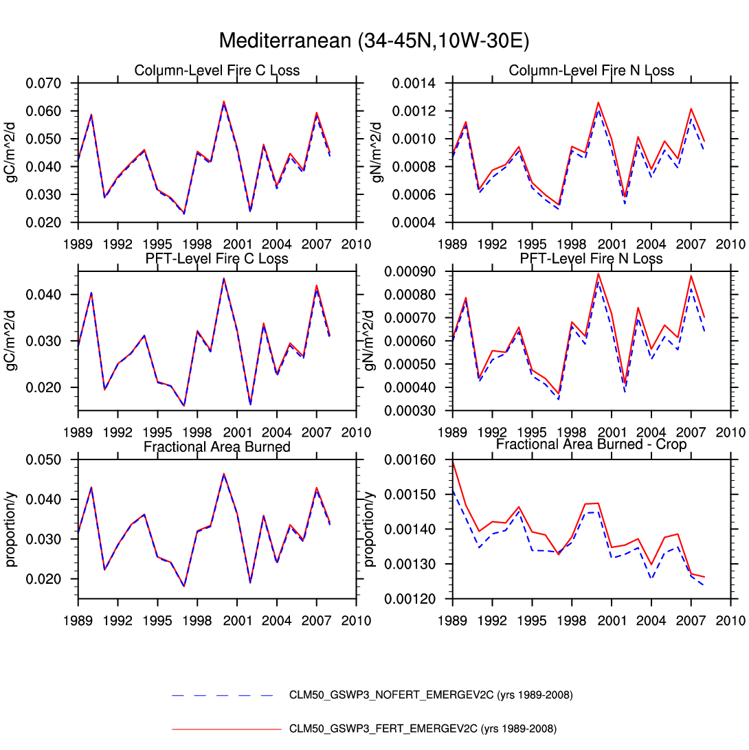
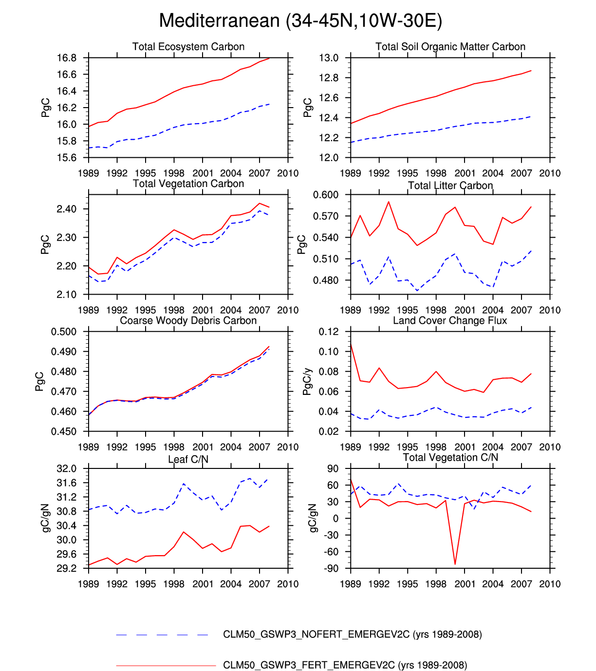
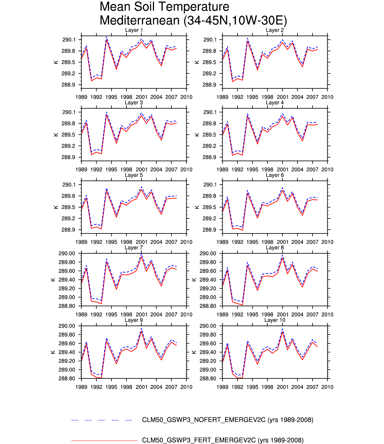
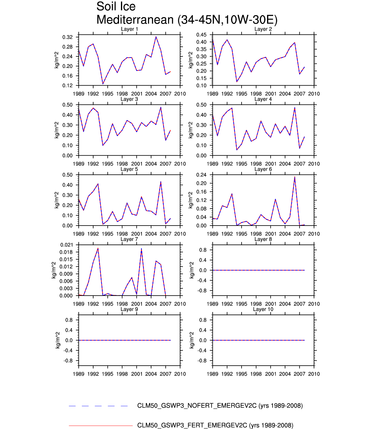
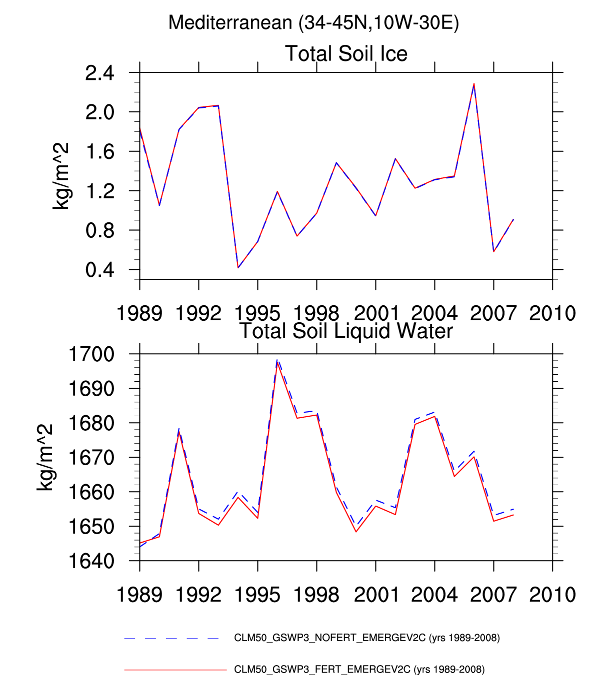
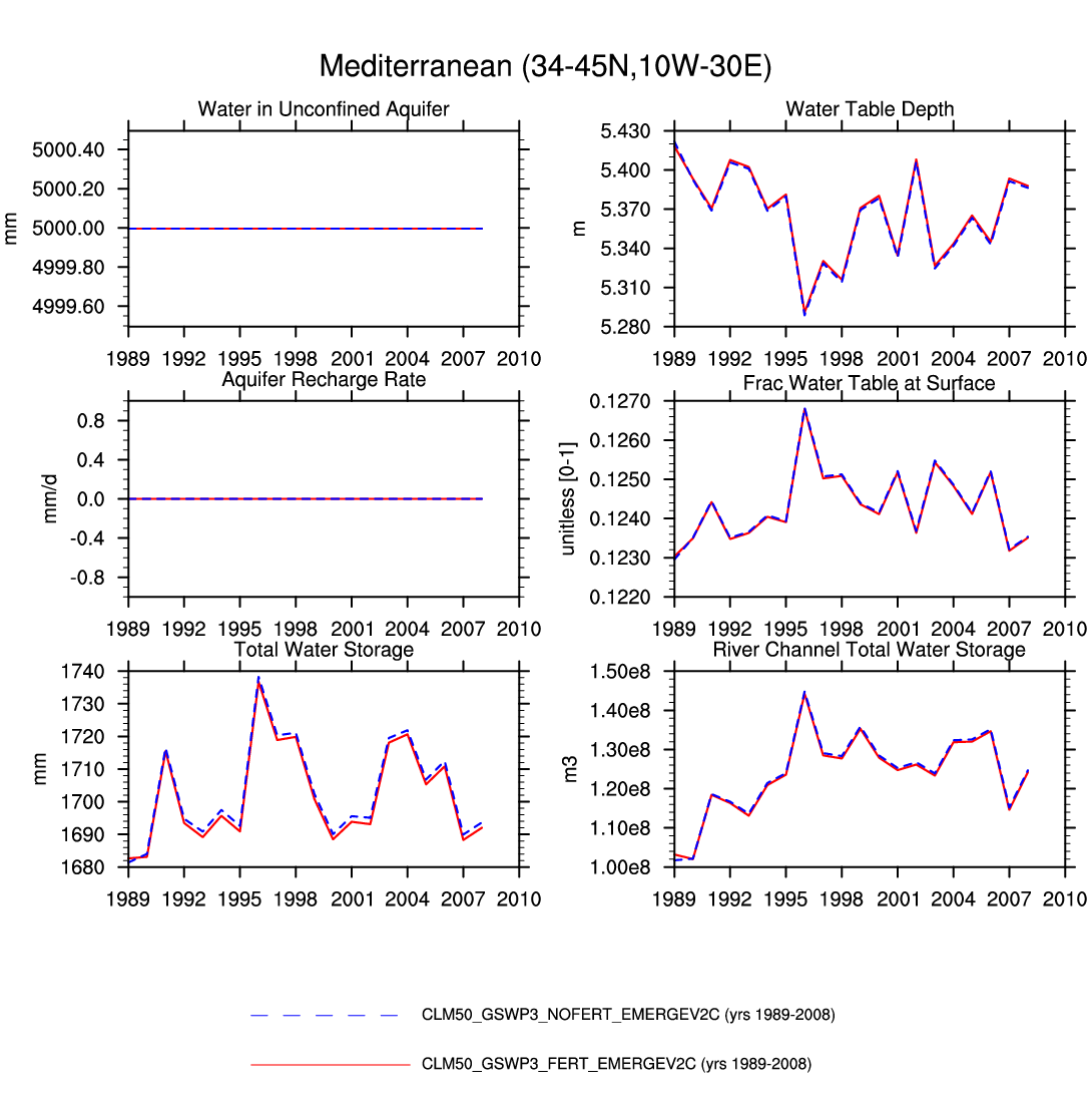
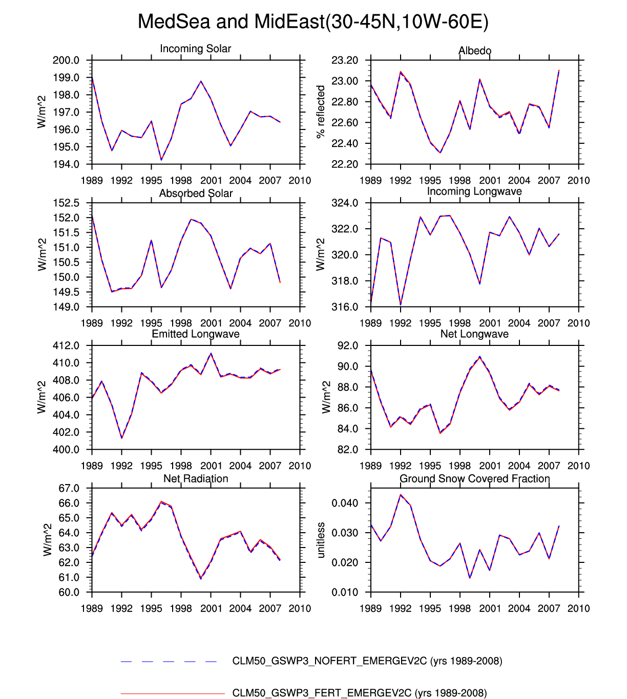
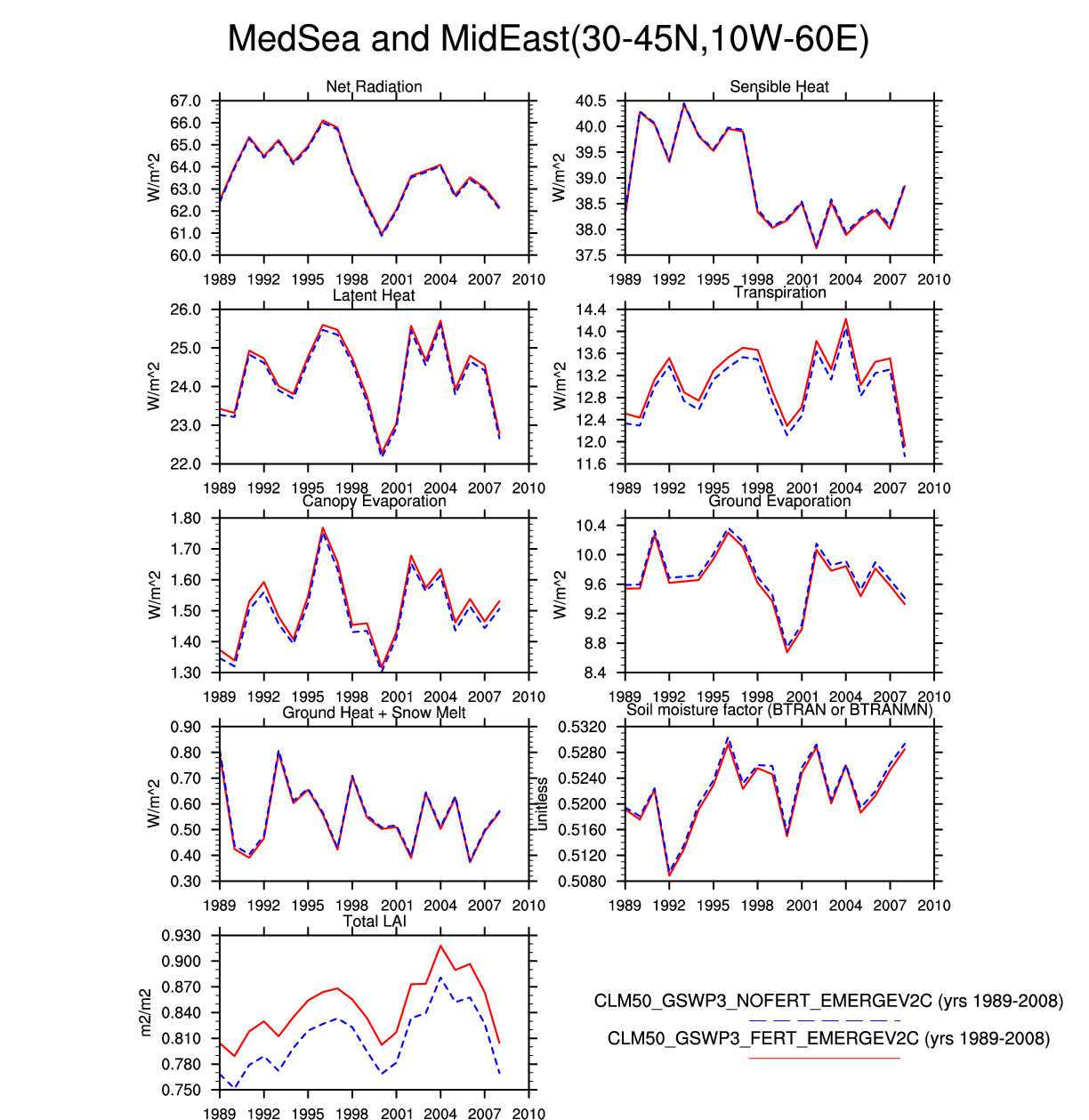
| Mediterranean | map | plot | plot | plot | -- | plot | plot | plot | -- | plot | plot | -- | plot |
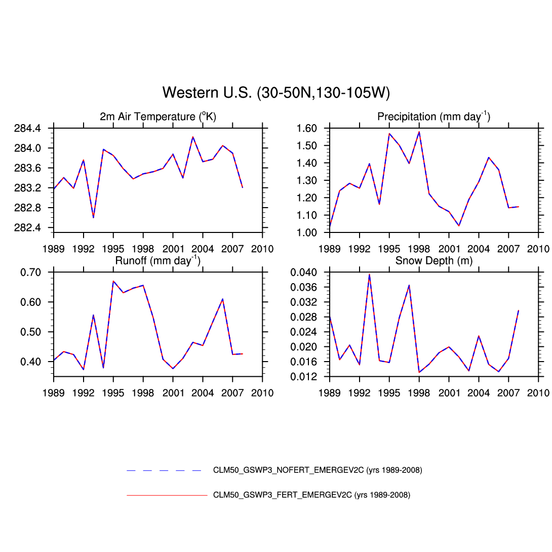
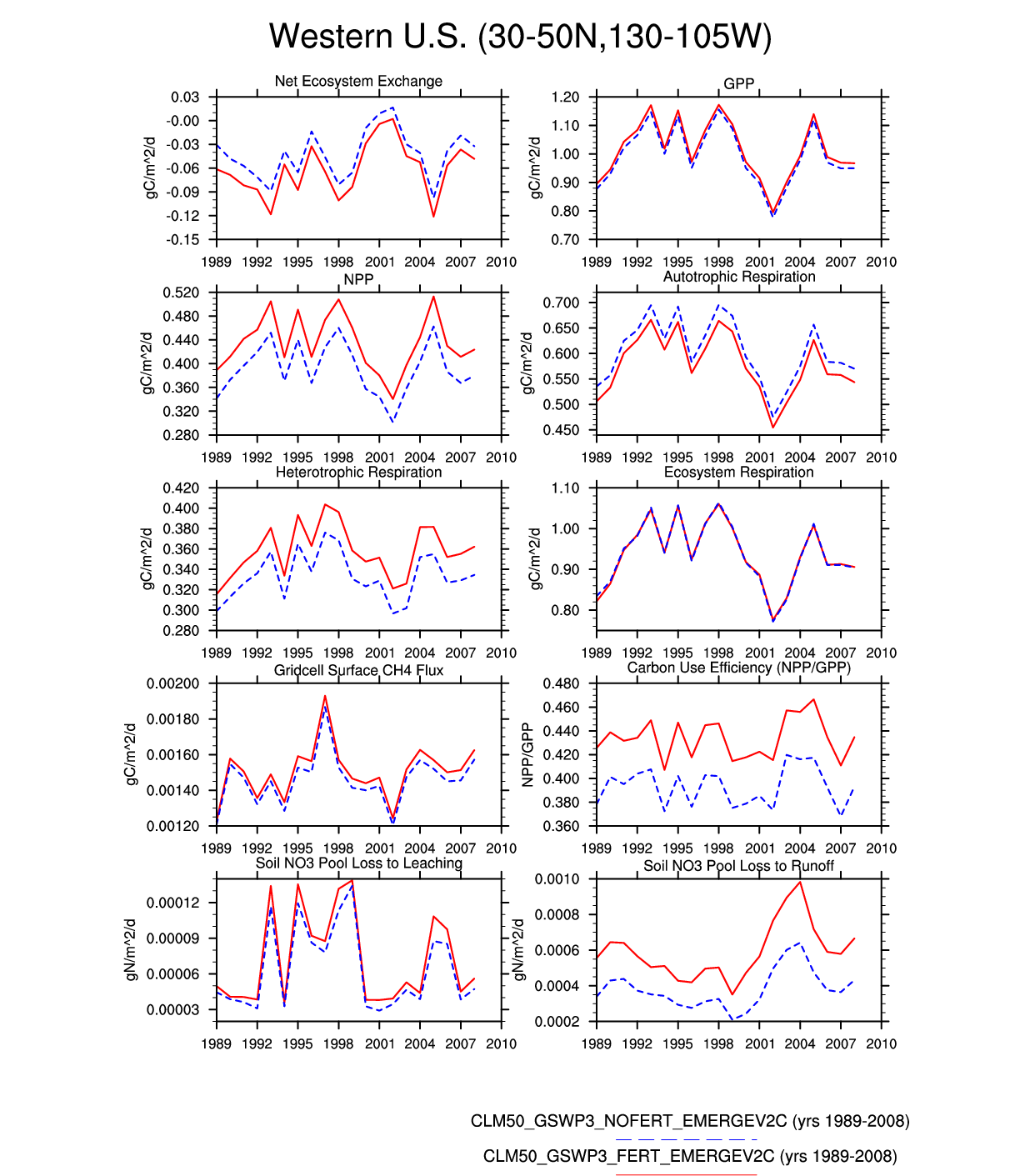
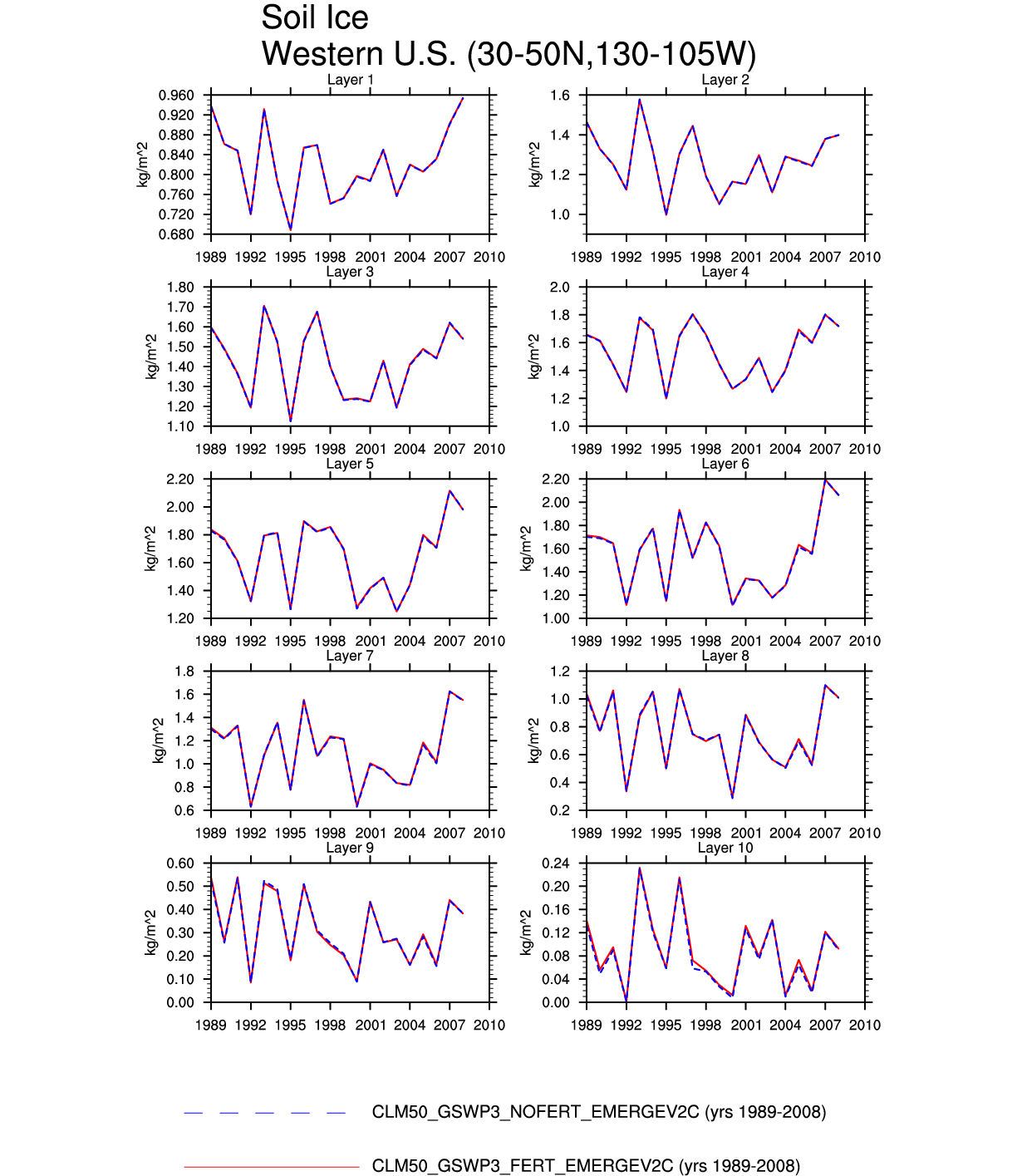
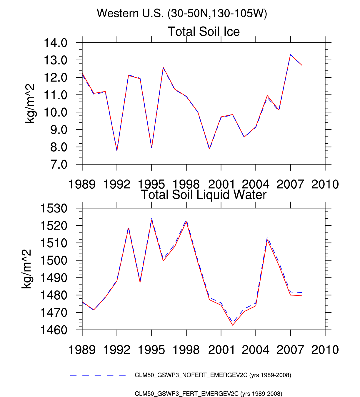
| Western U.S. | -- | plot | -- | -- | plot | -- | -- | -- | plot | plot | plot | -- | -- |
| TROPICAL RAINFOREST | |||||||||||||
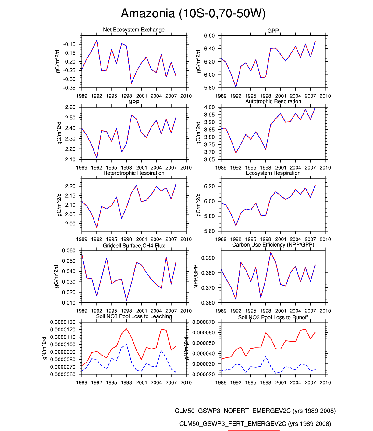
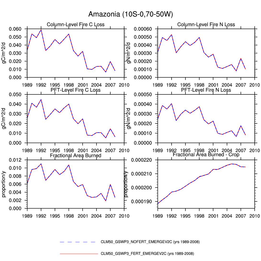
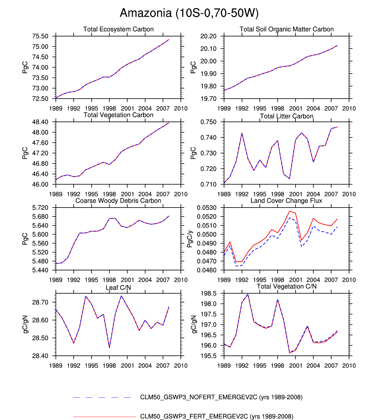
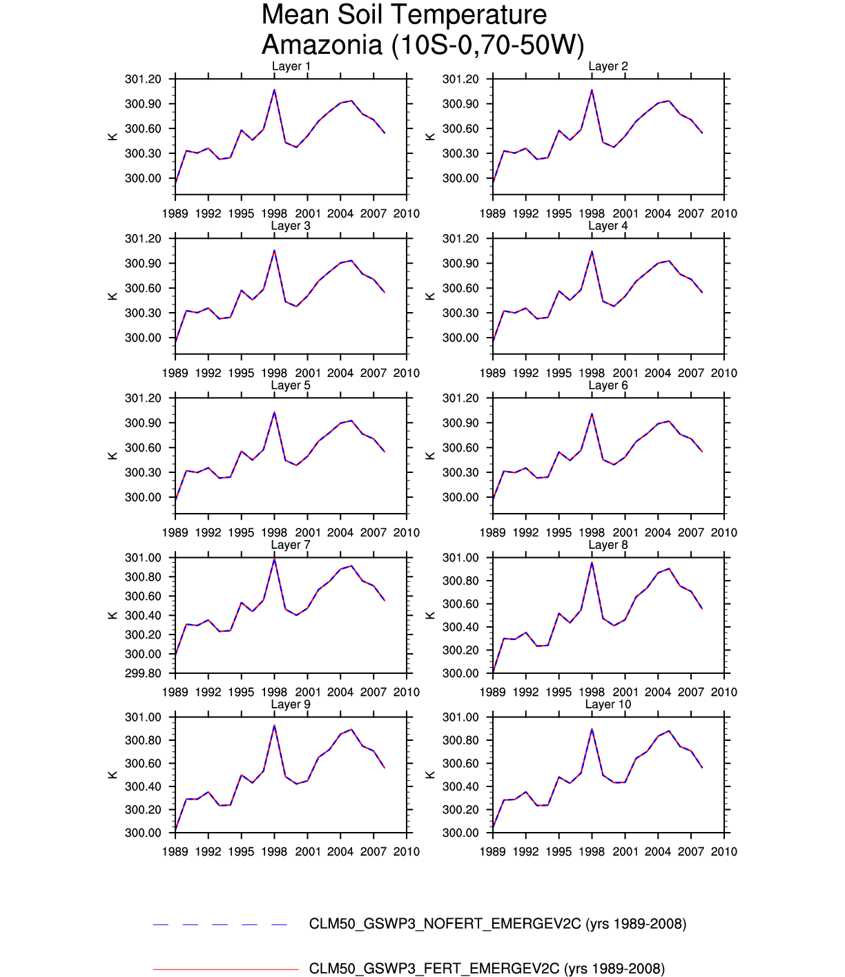
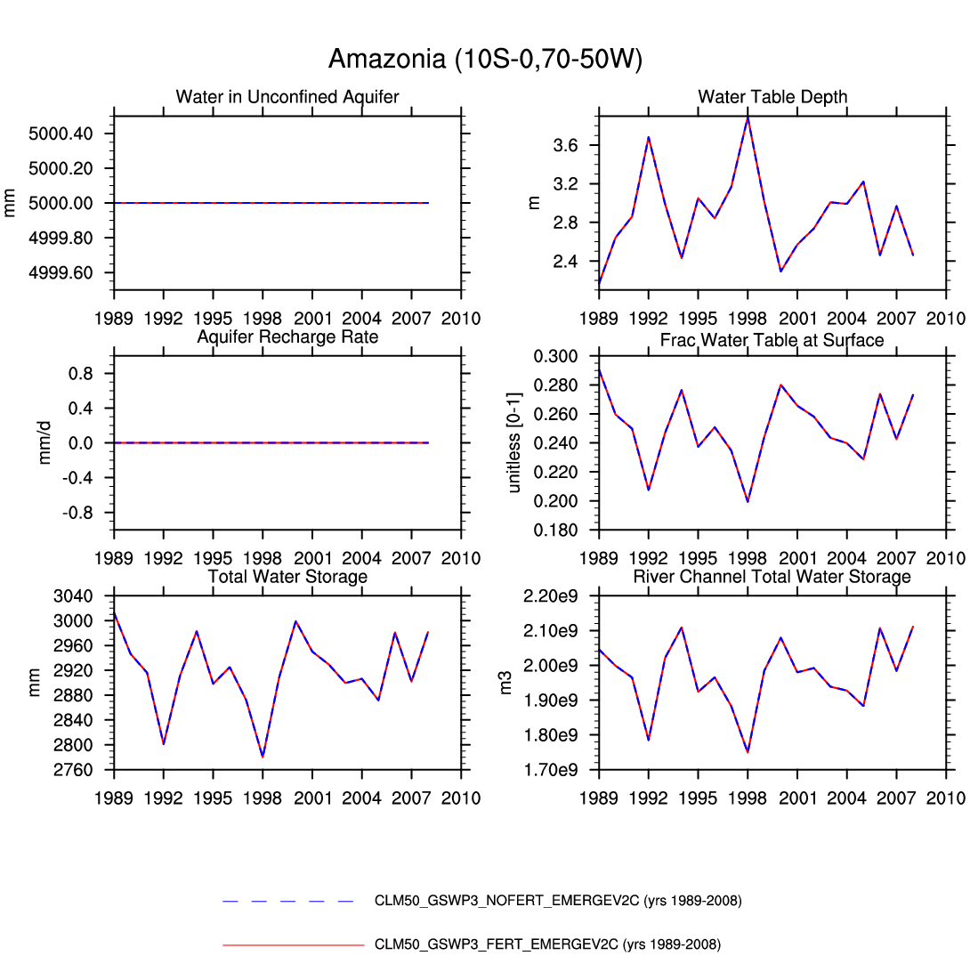
| Amazonia | -- | -- | -- | -- | plot | plot | plot | plot | -- | plot | -- | -- | plot |
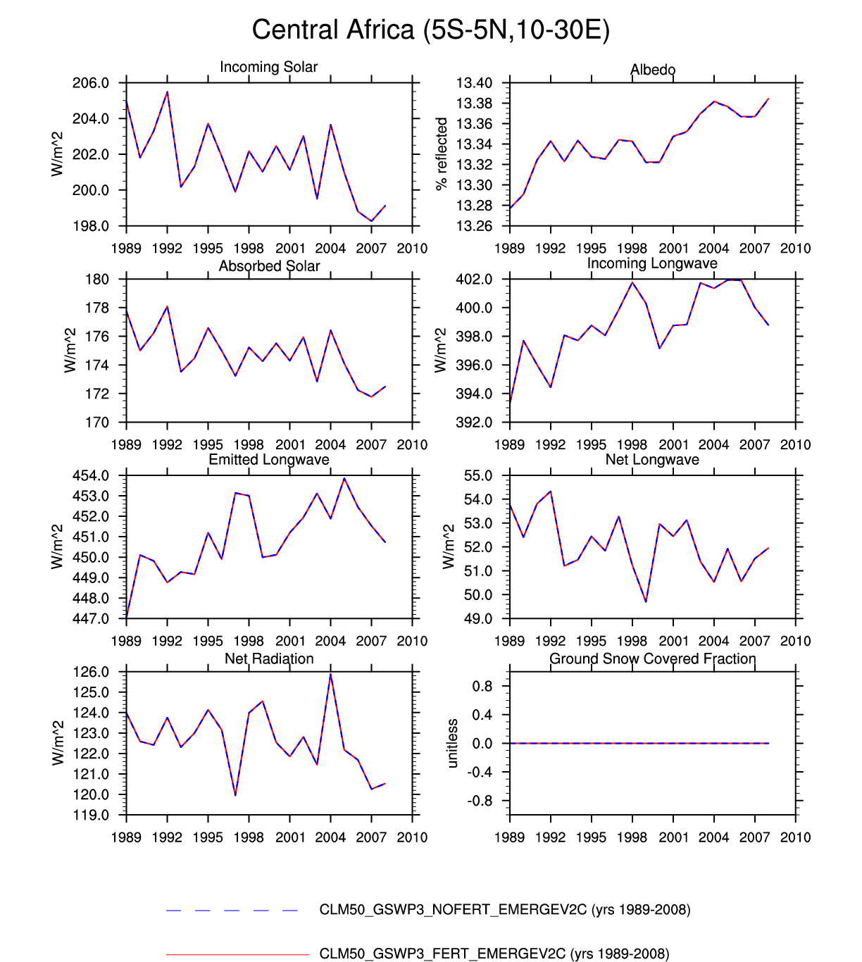
| Central Africa | -- | -- | plot | -- | -- | -- | -- | -- | -- | plot | -- | plot | -- |
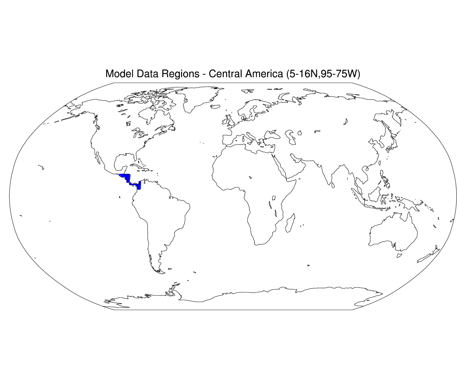
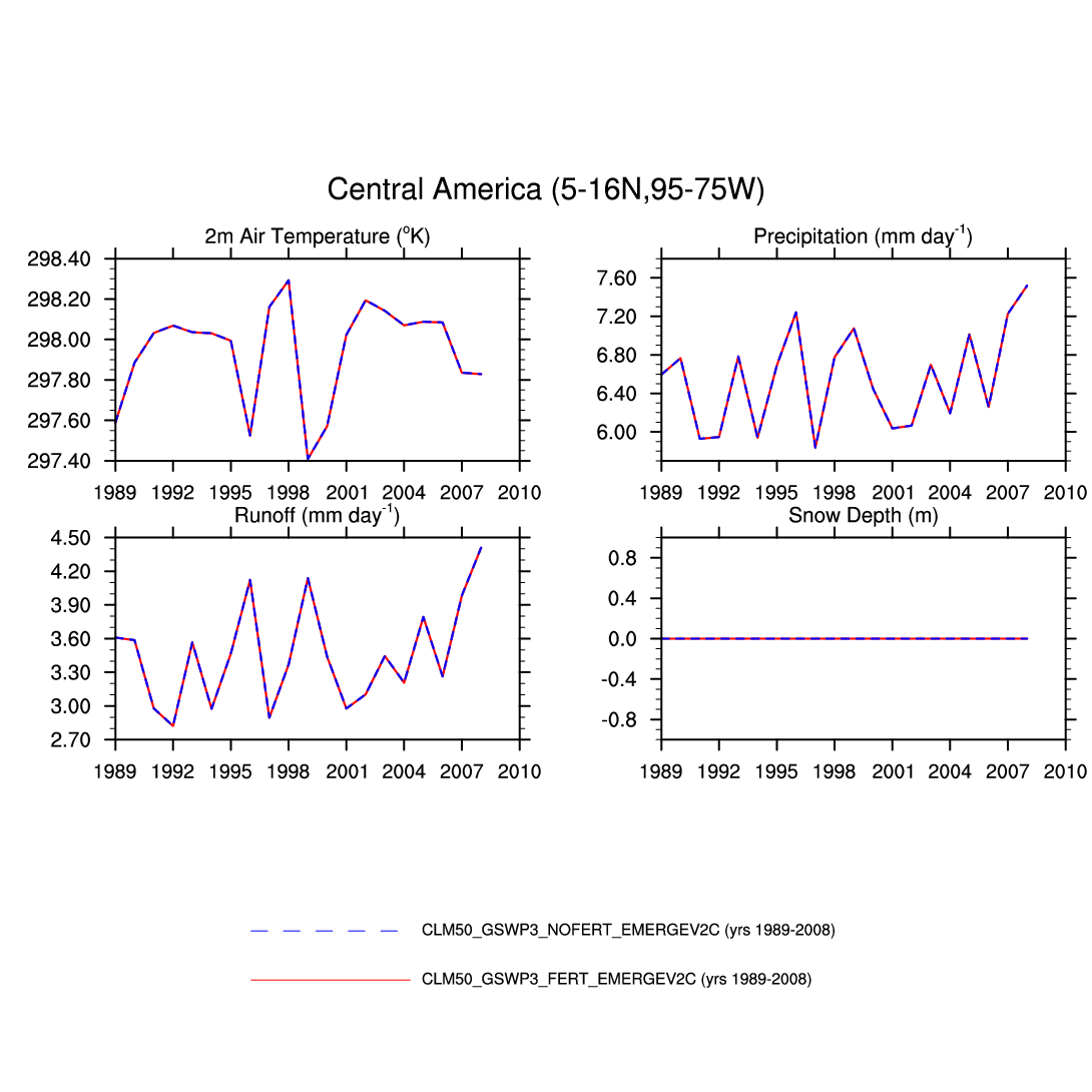
| Central America | map | plot | -- | plot | -- | -- | -- | plot | -- | -- | plot | plot | -- |
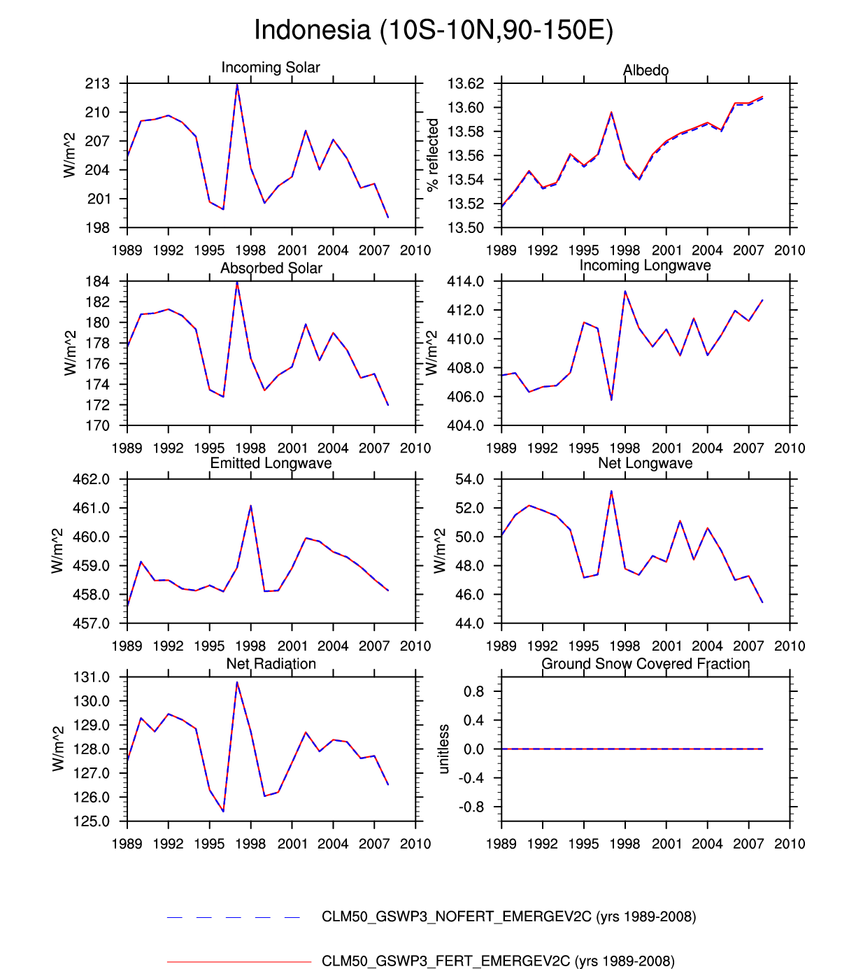
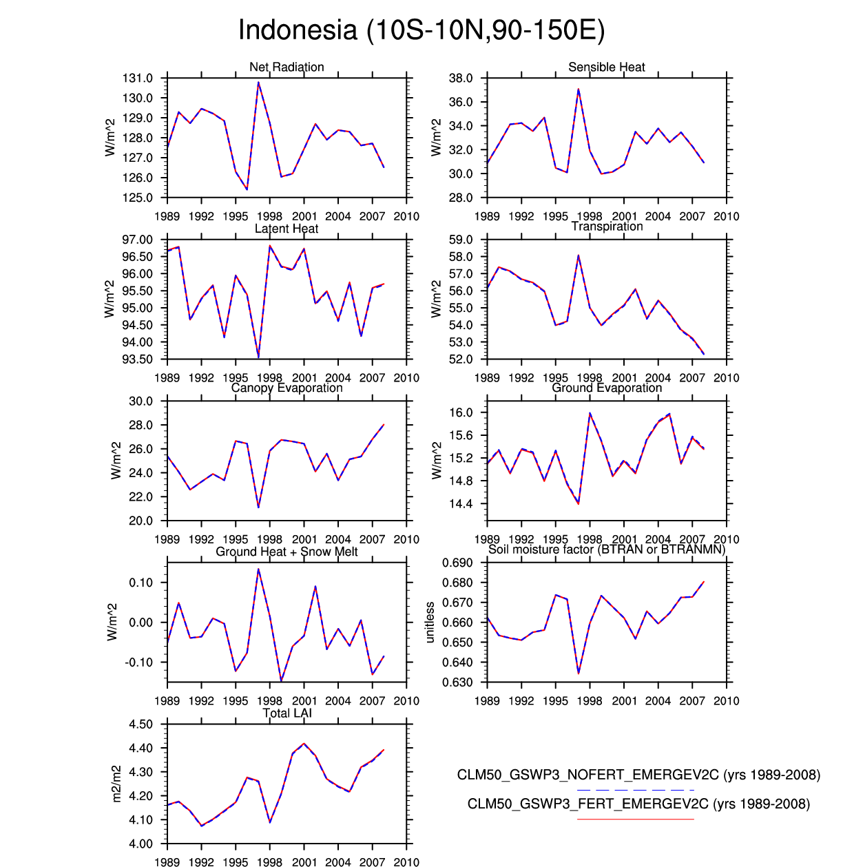
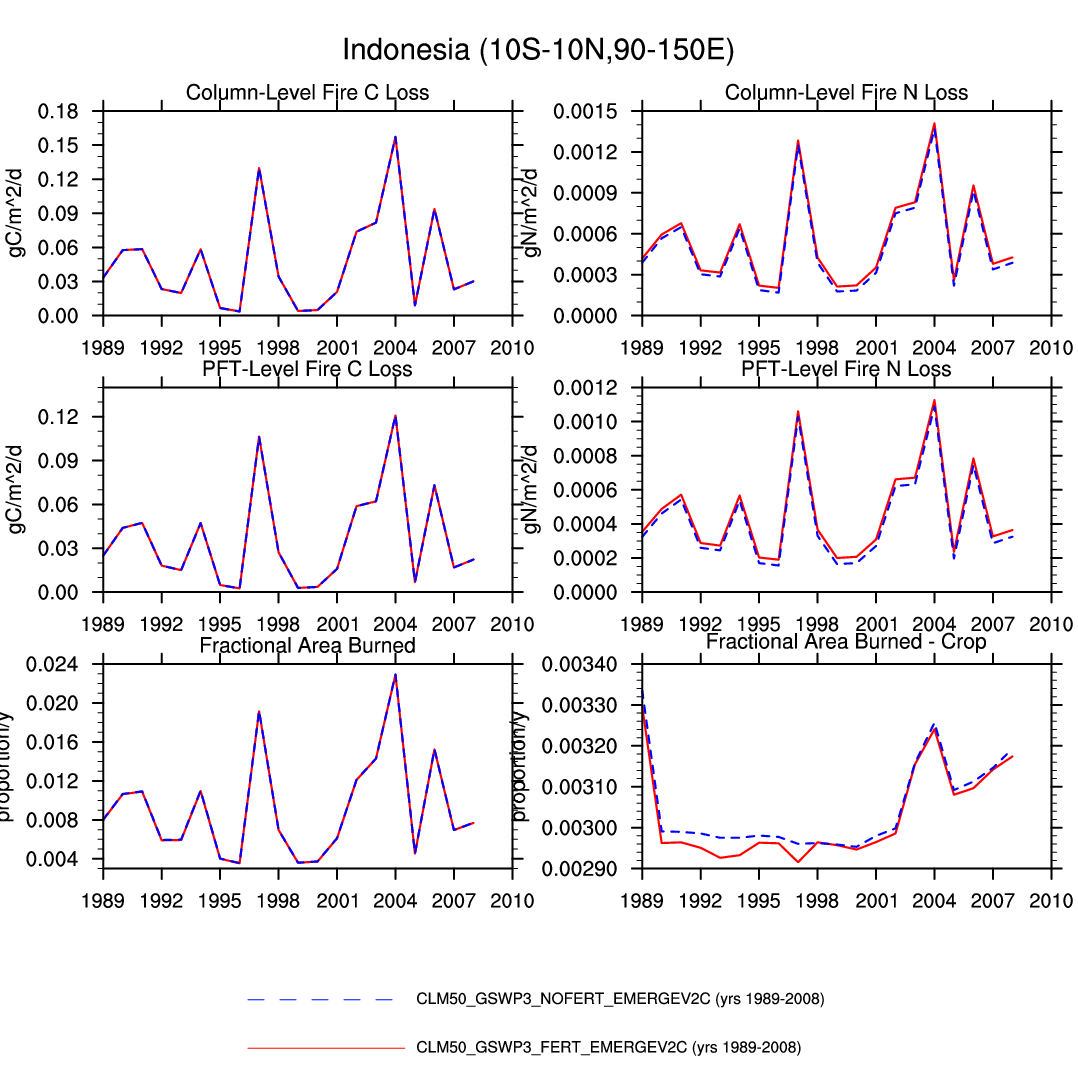
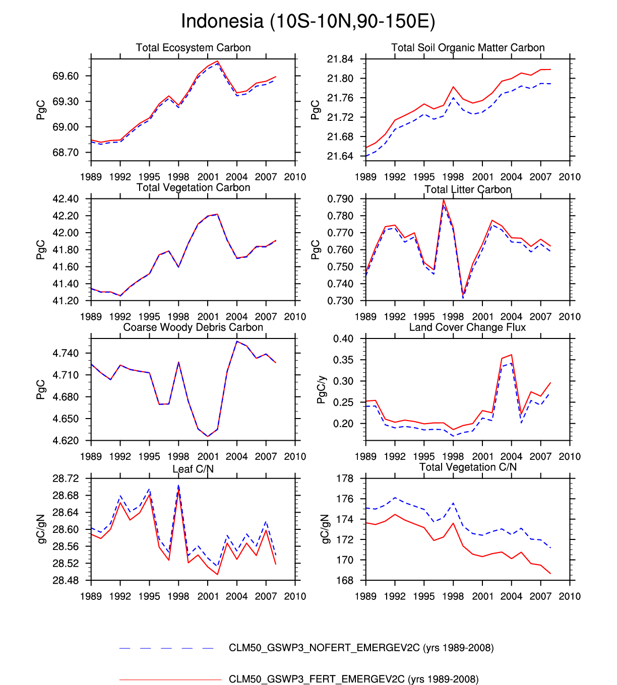
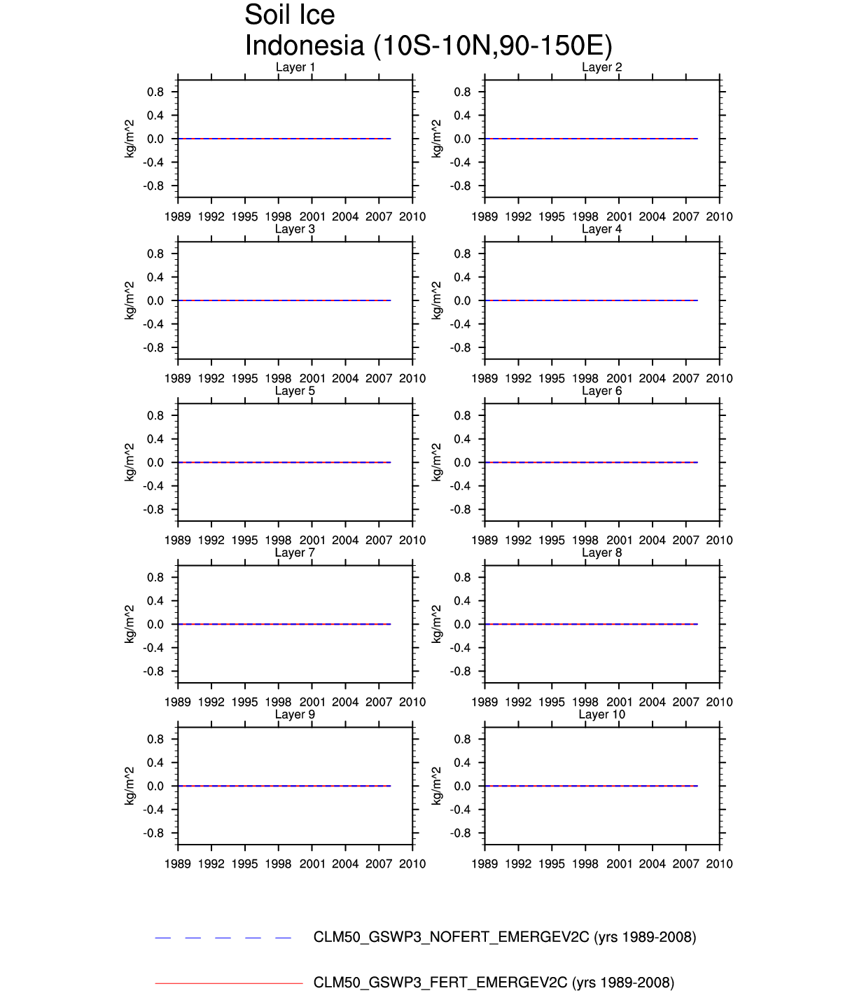
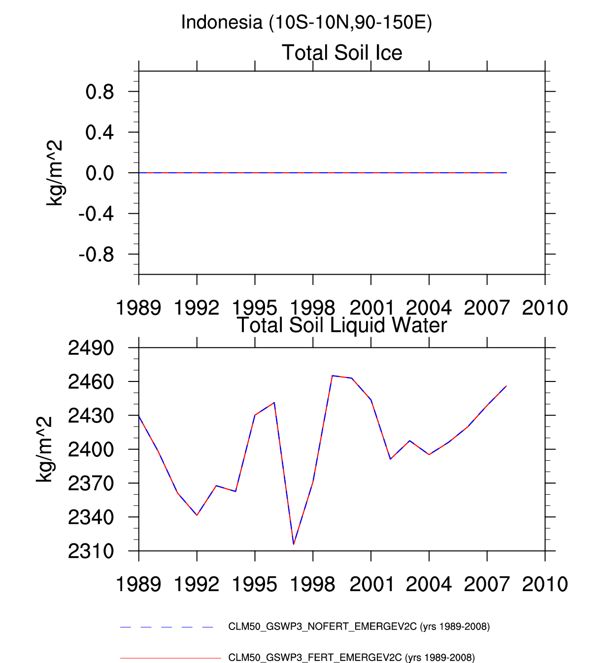
| Indonesia | -- | -- | plot | plot | -- | plot | plot | -- | -- | plot | plot | -- | -- |
| TROPICAL SAVANNA | |||||||||||||
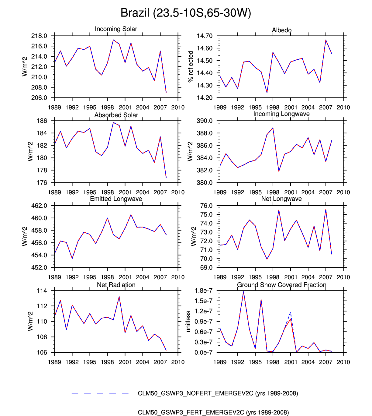
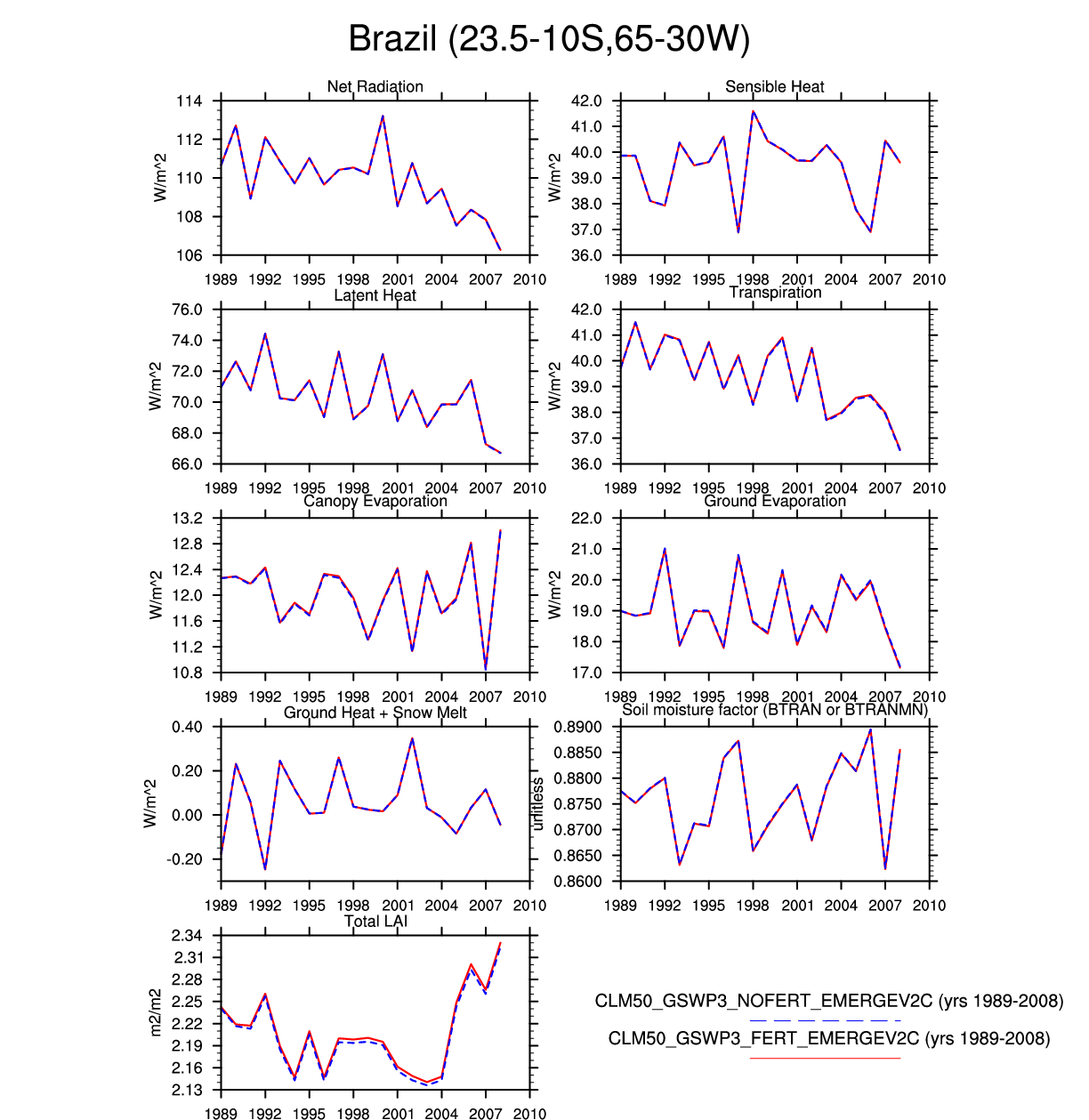
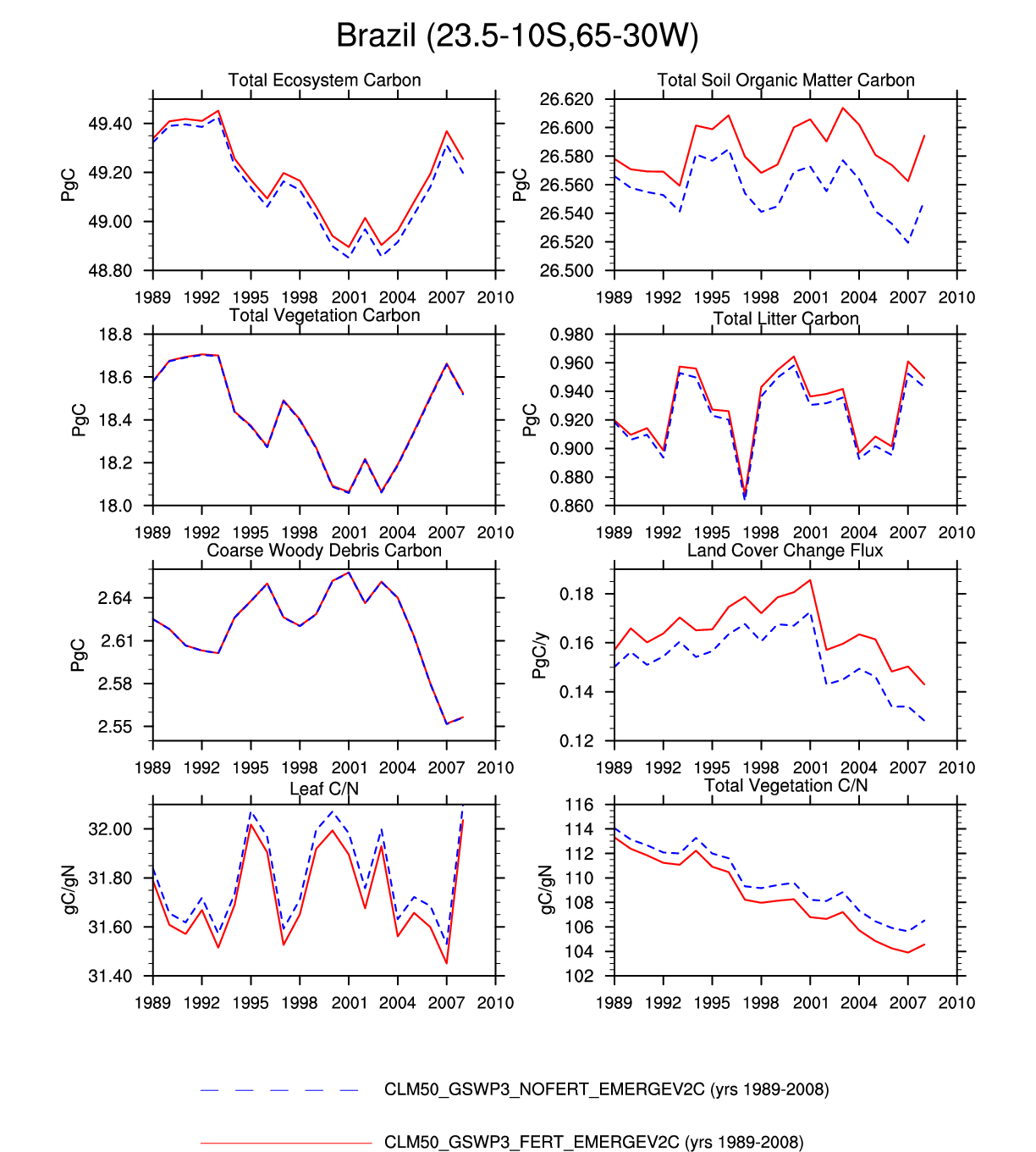
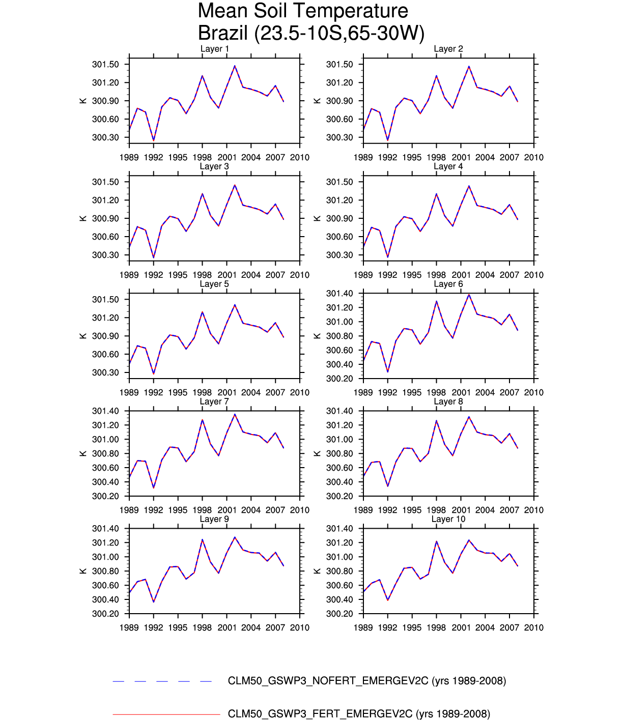
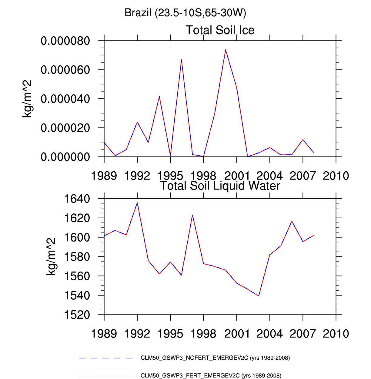
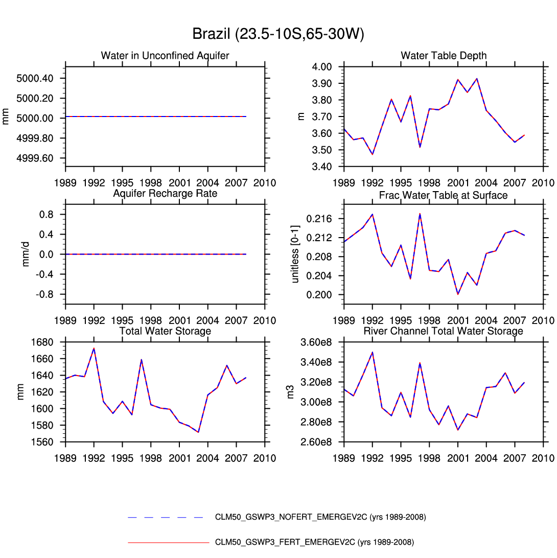
| Brazil | map | -- | plot | plot | -- | -- | plot | plot | -- | -- | plot | plot | plot |
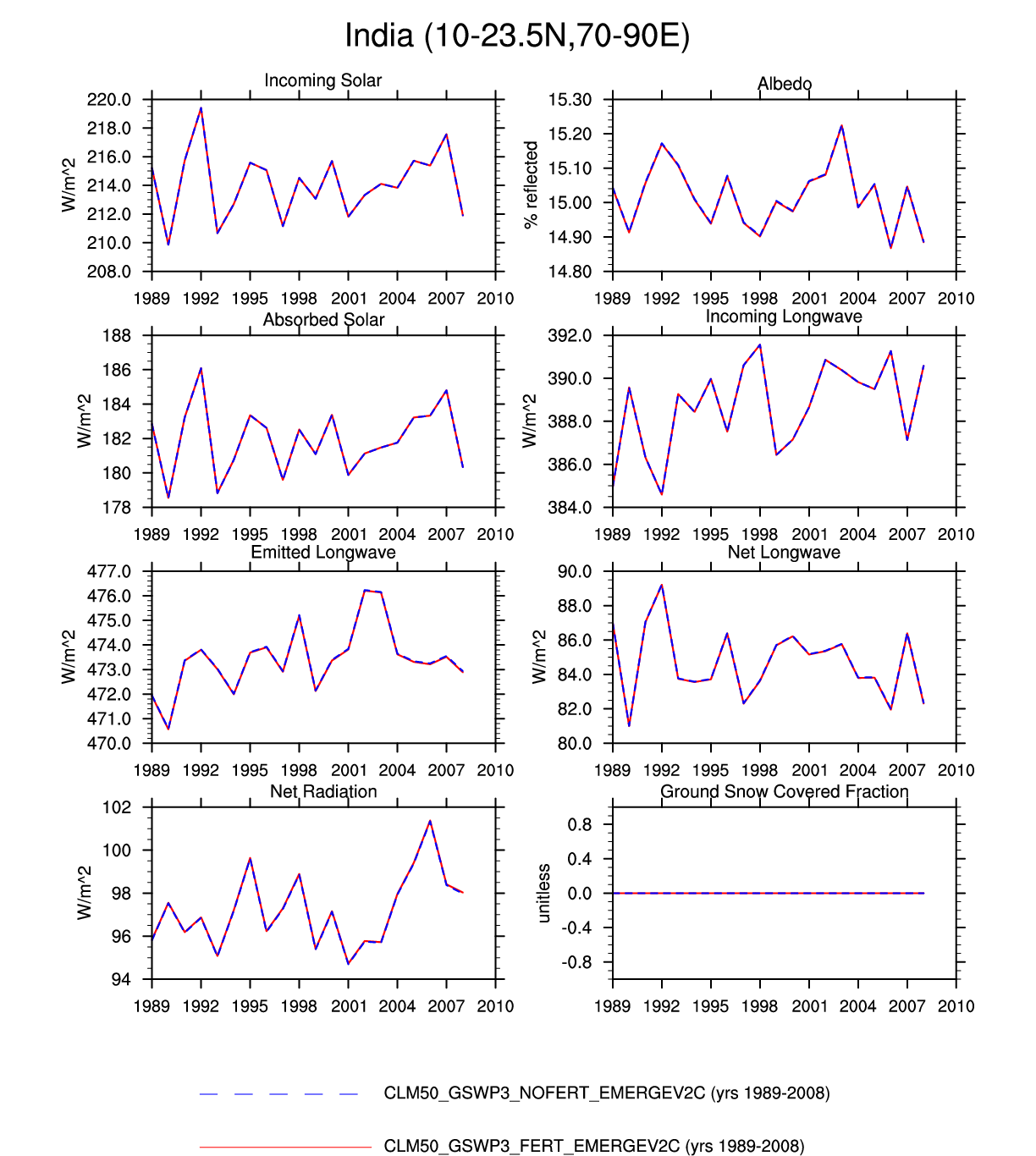
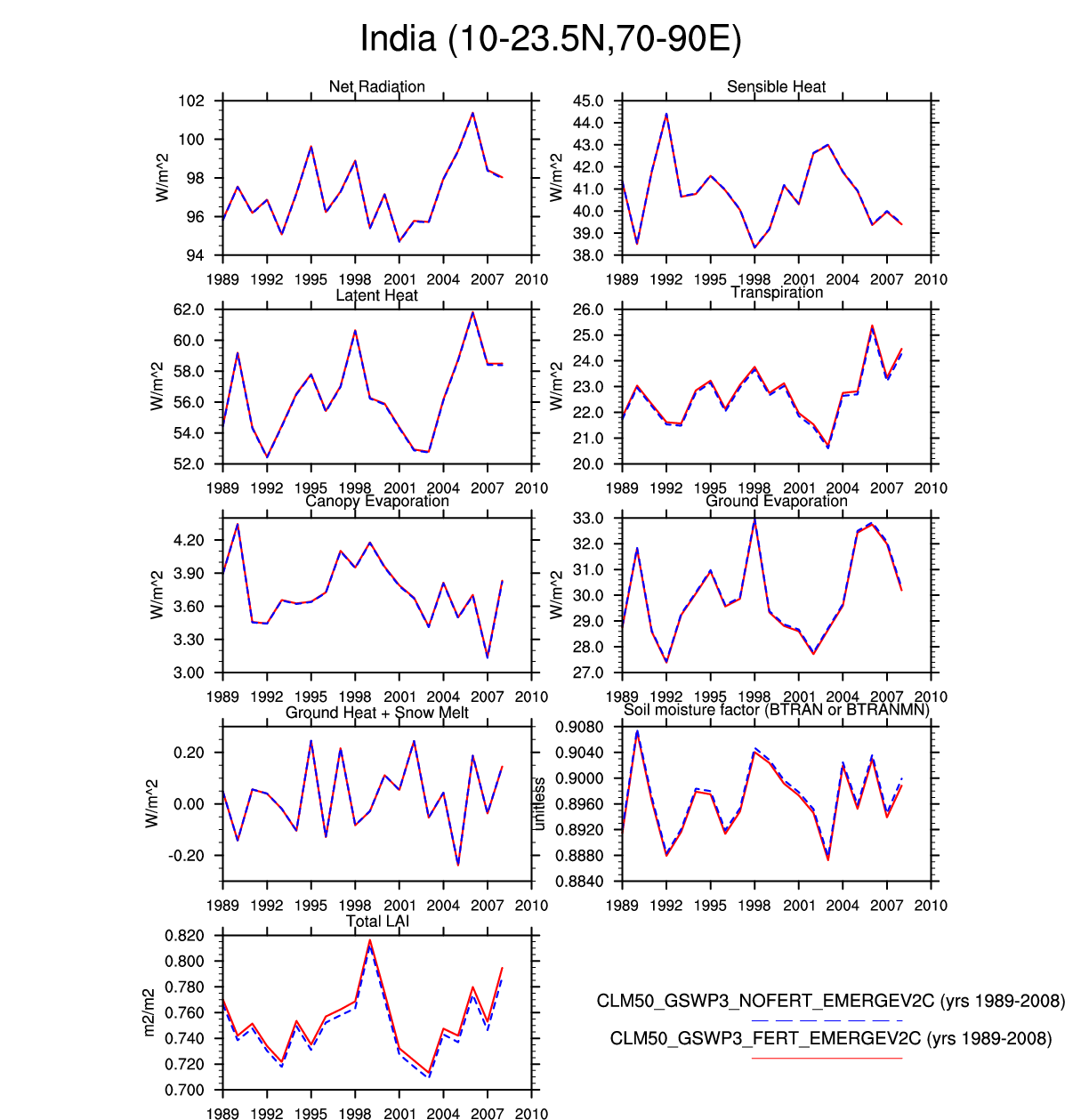
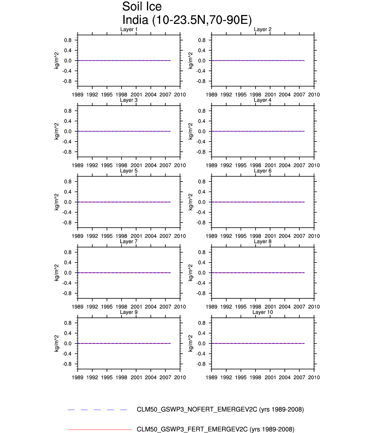
| India | -- | -- | plot | plot | -- | -- | -- | -- | -- | plot | -- | -- | -- |
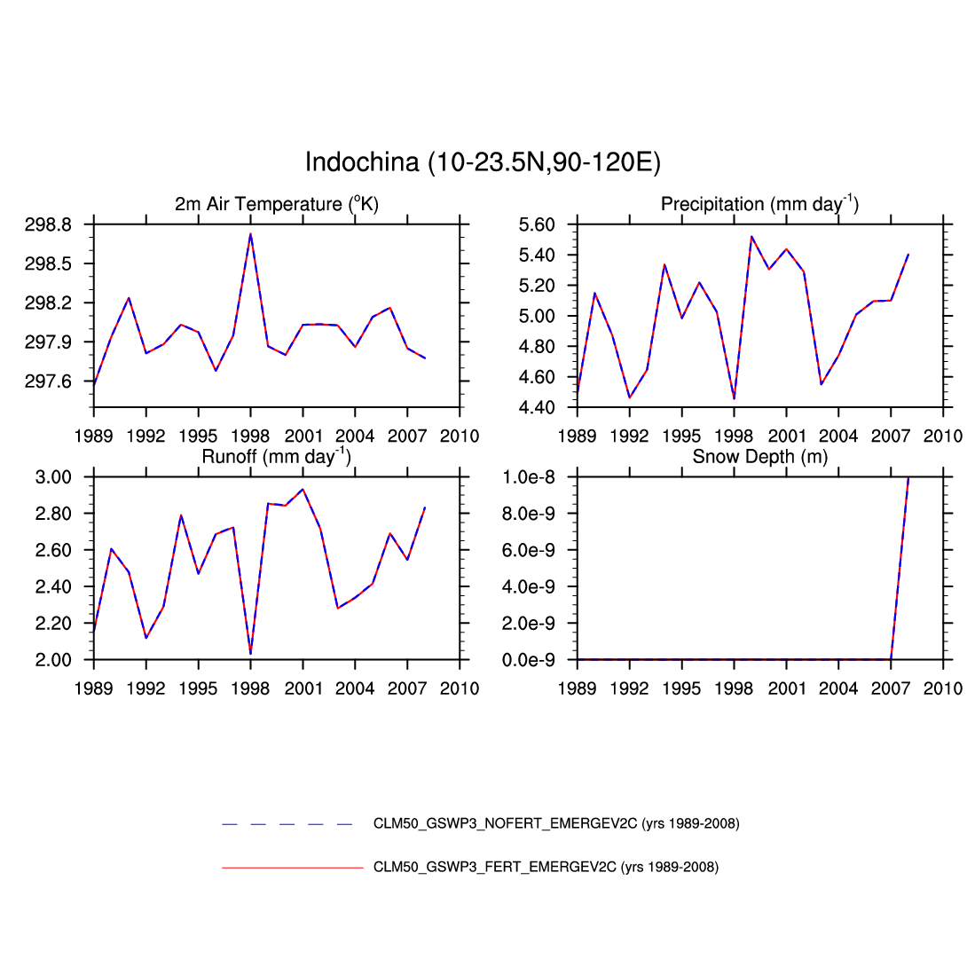
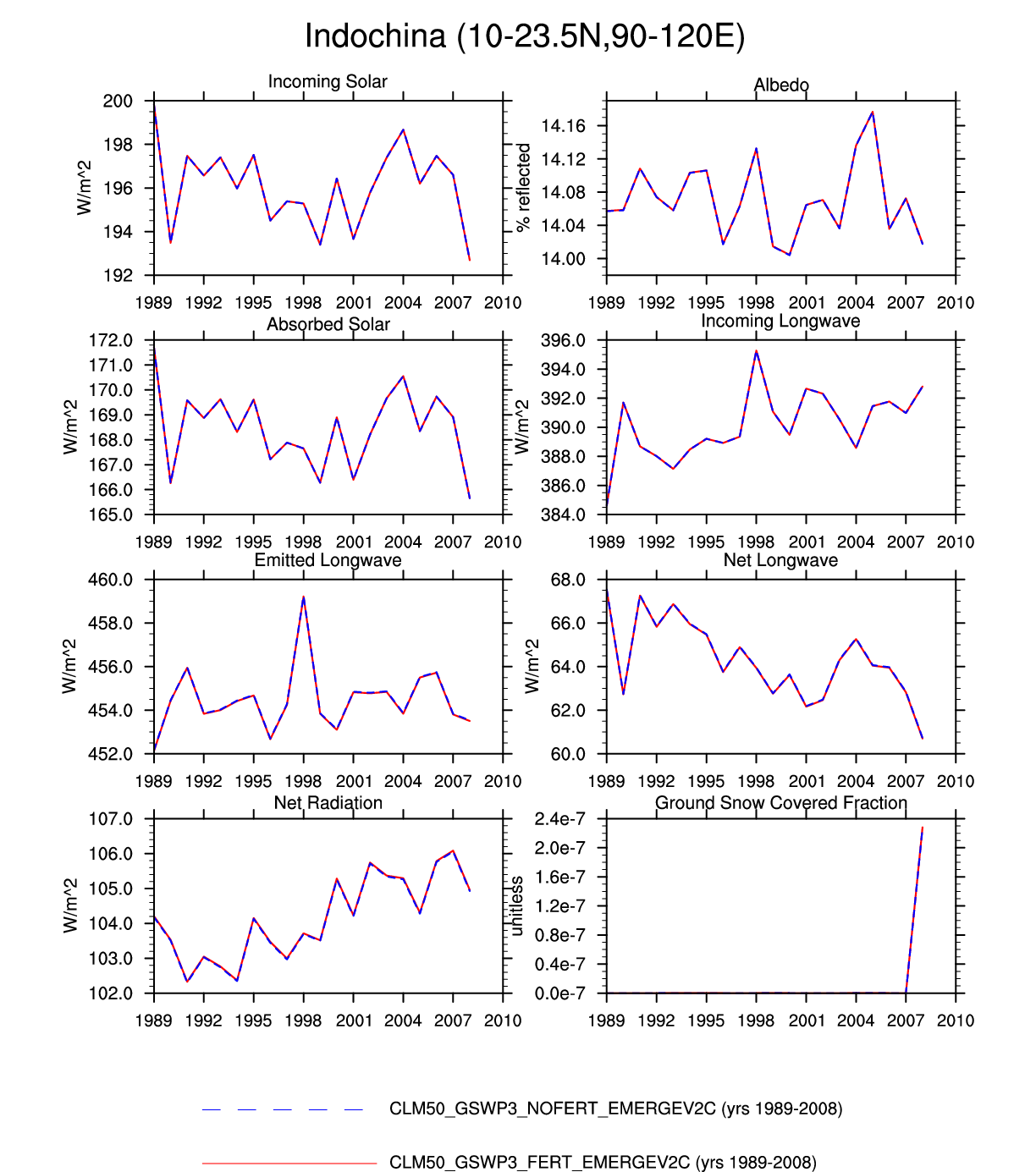
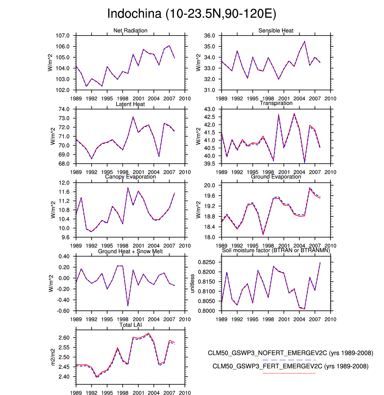
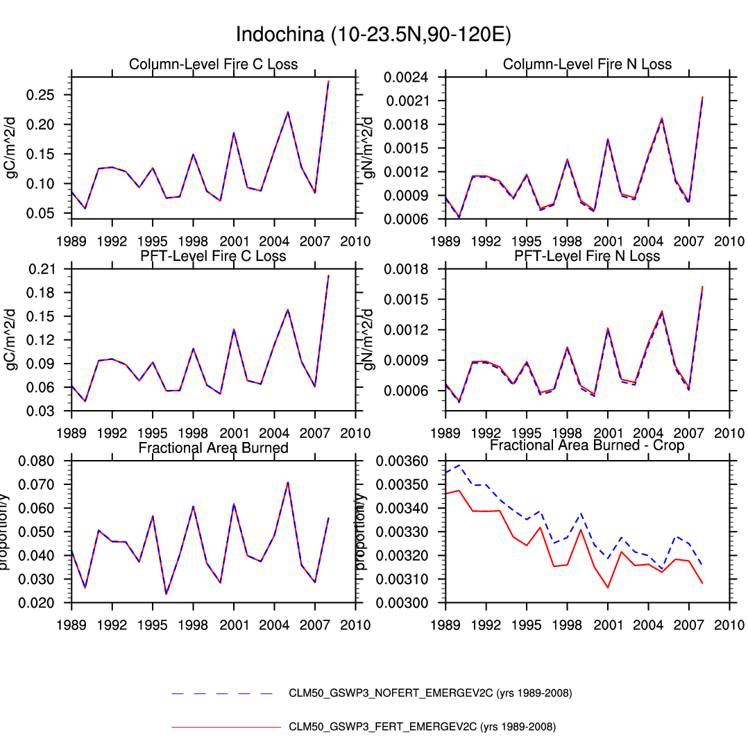
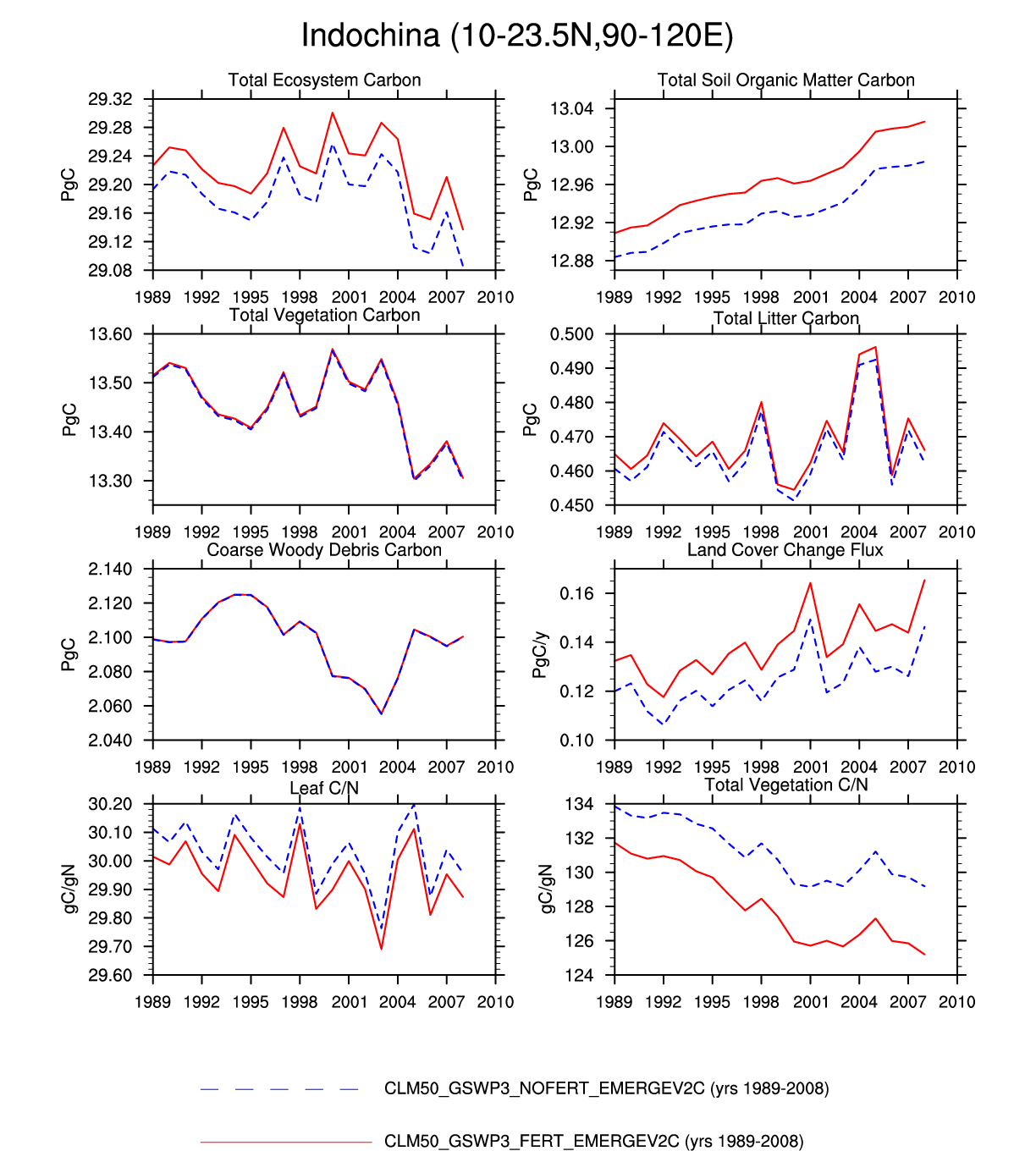
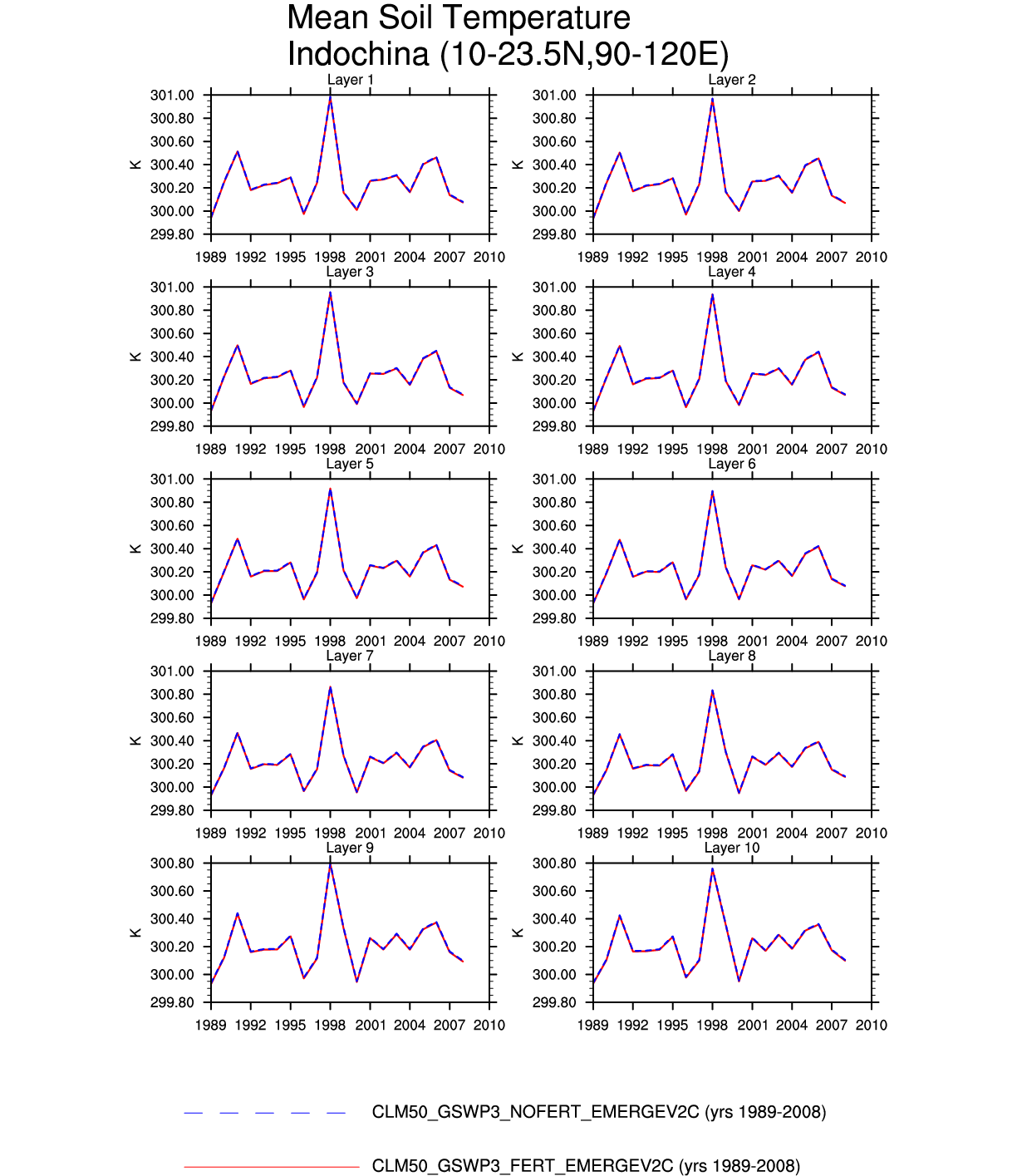
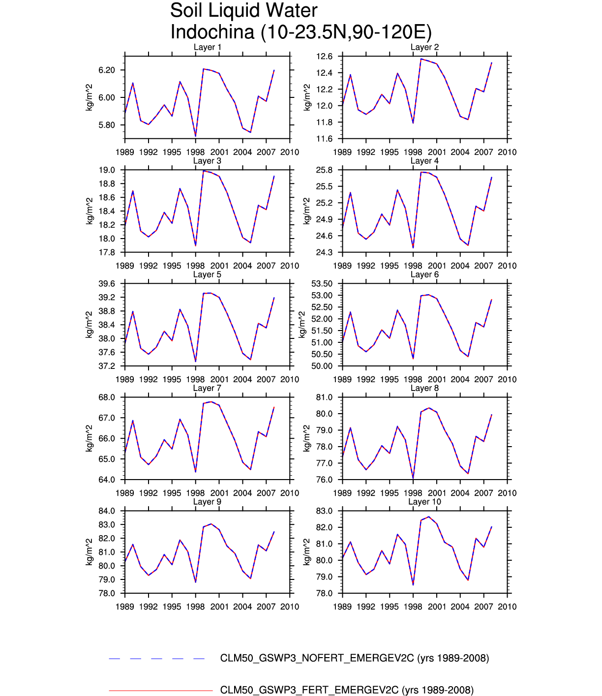
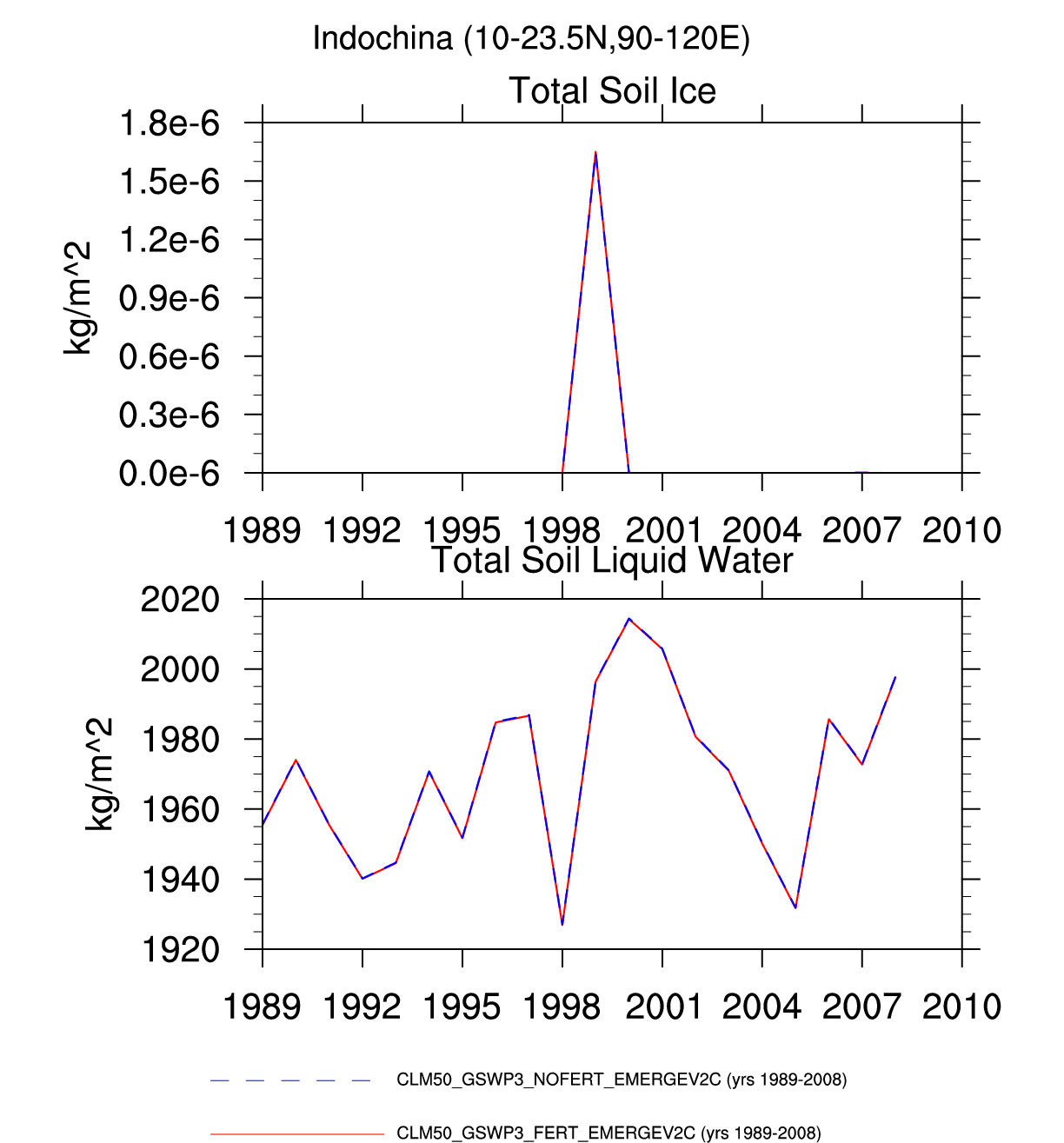
| Indochina | -- | plot | plot | plot | -- | plot | plot | plot | plot | -- | plot | -- | -- |
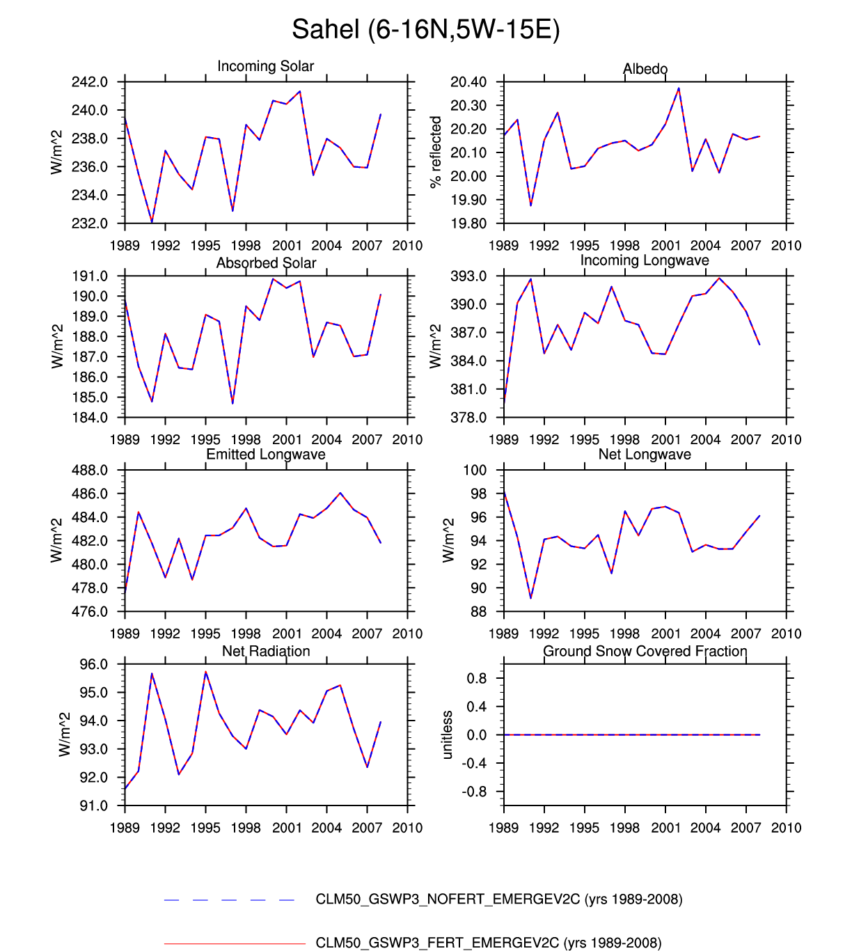
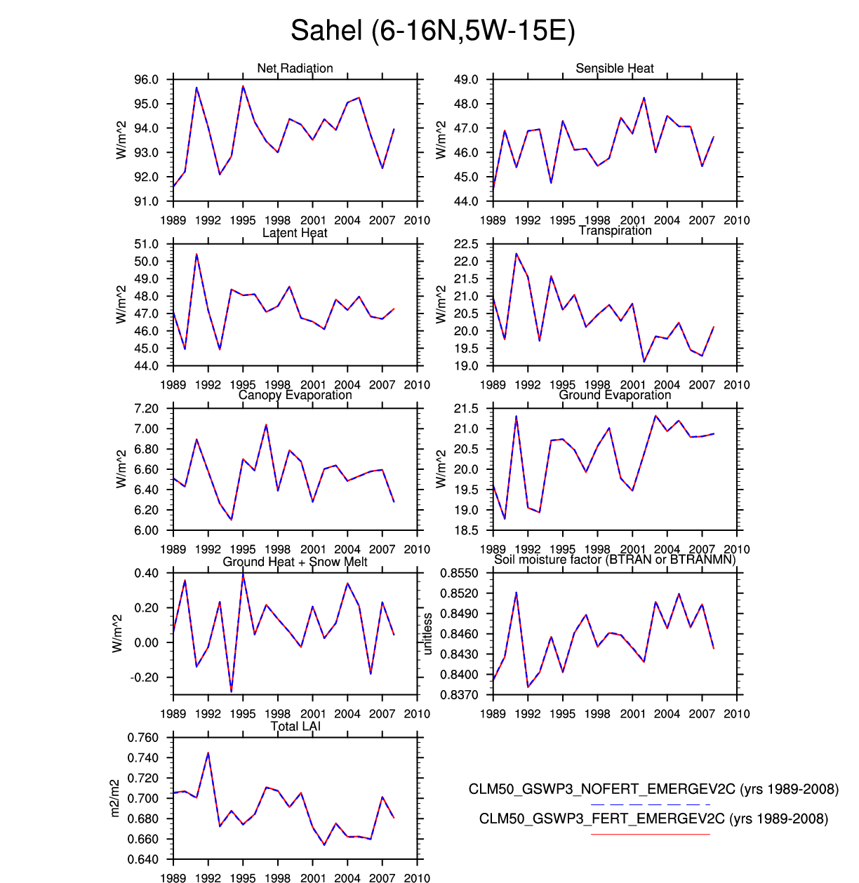
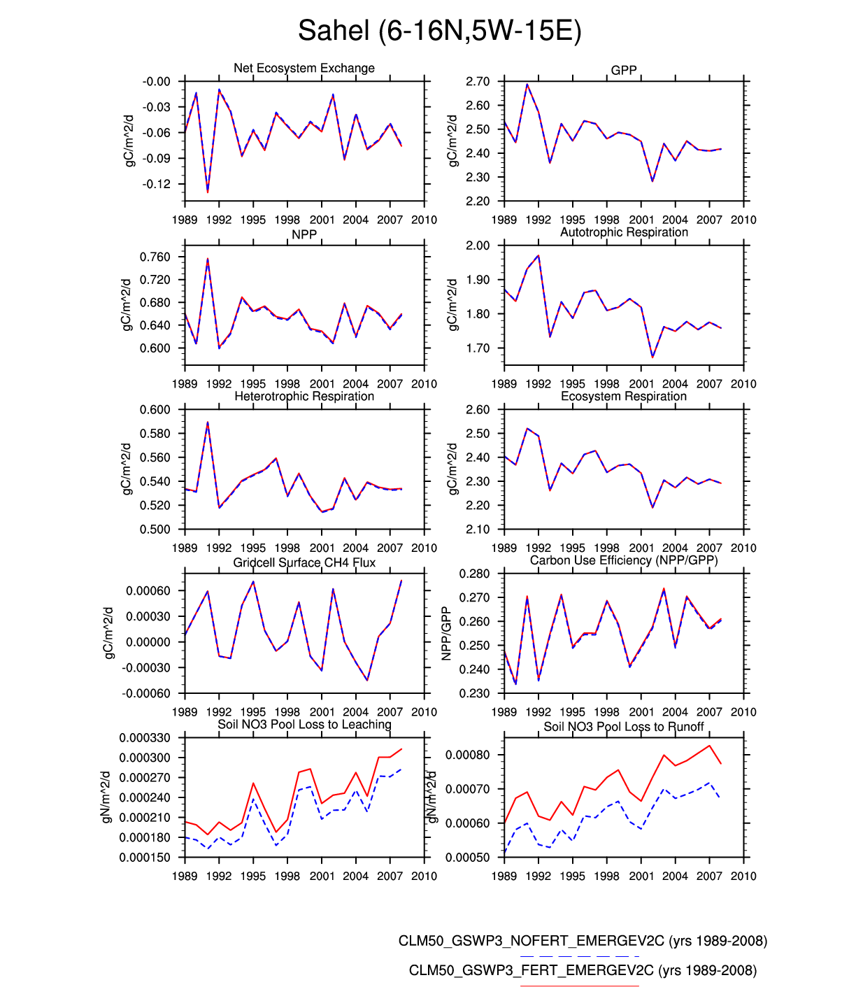
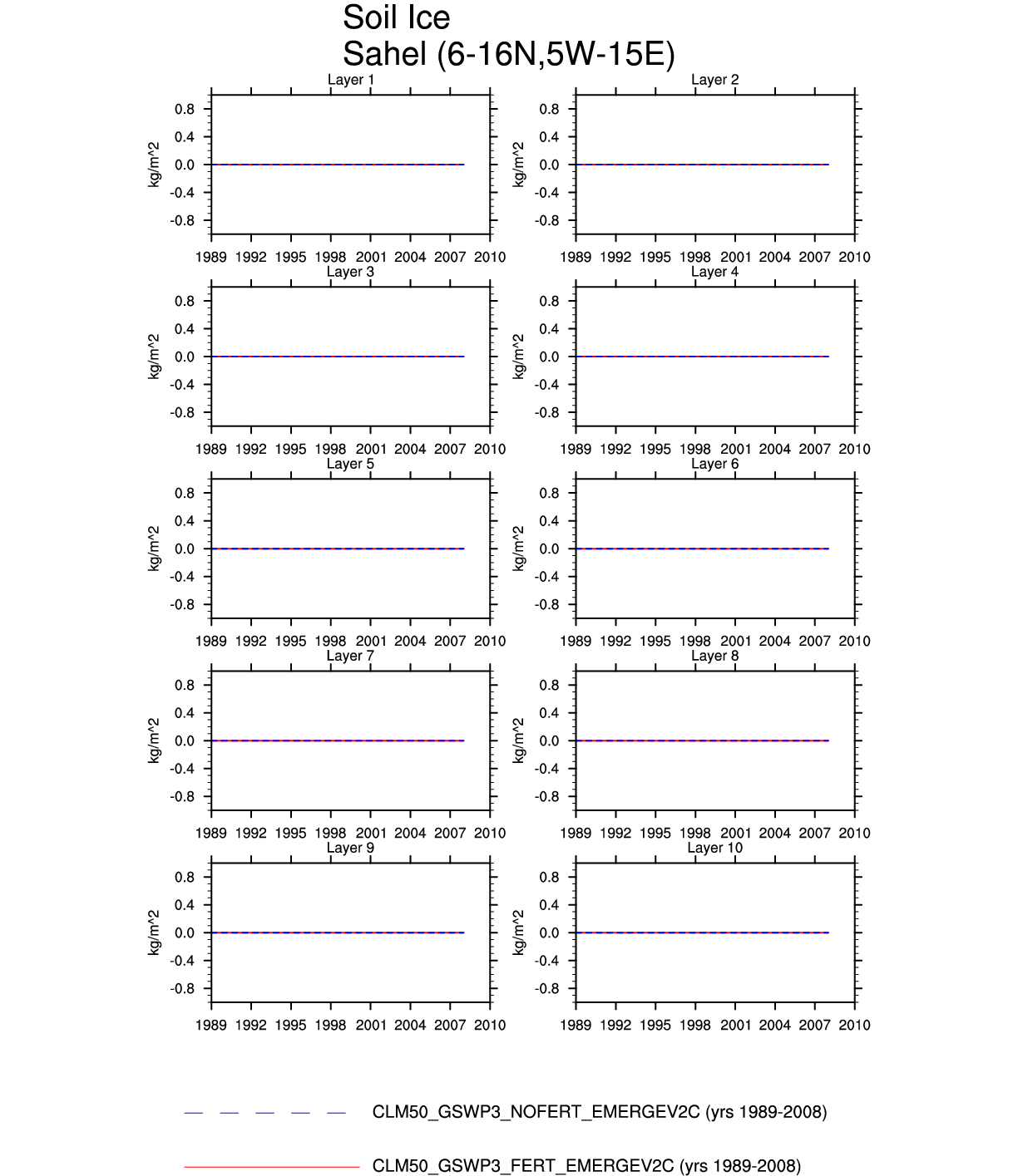
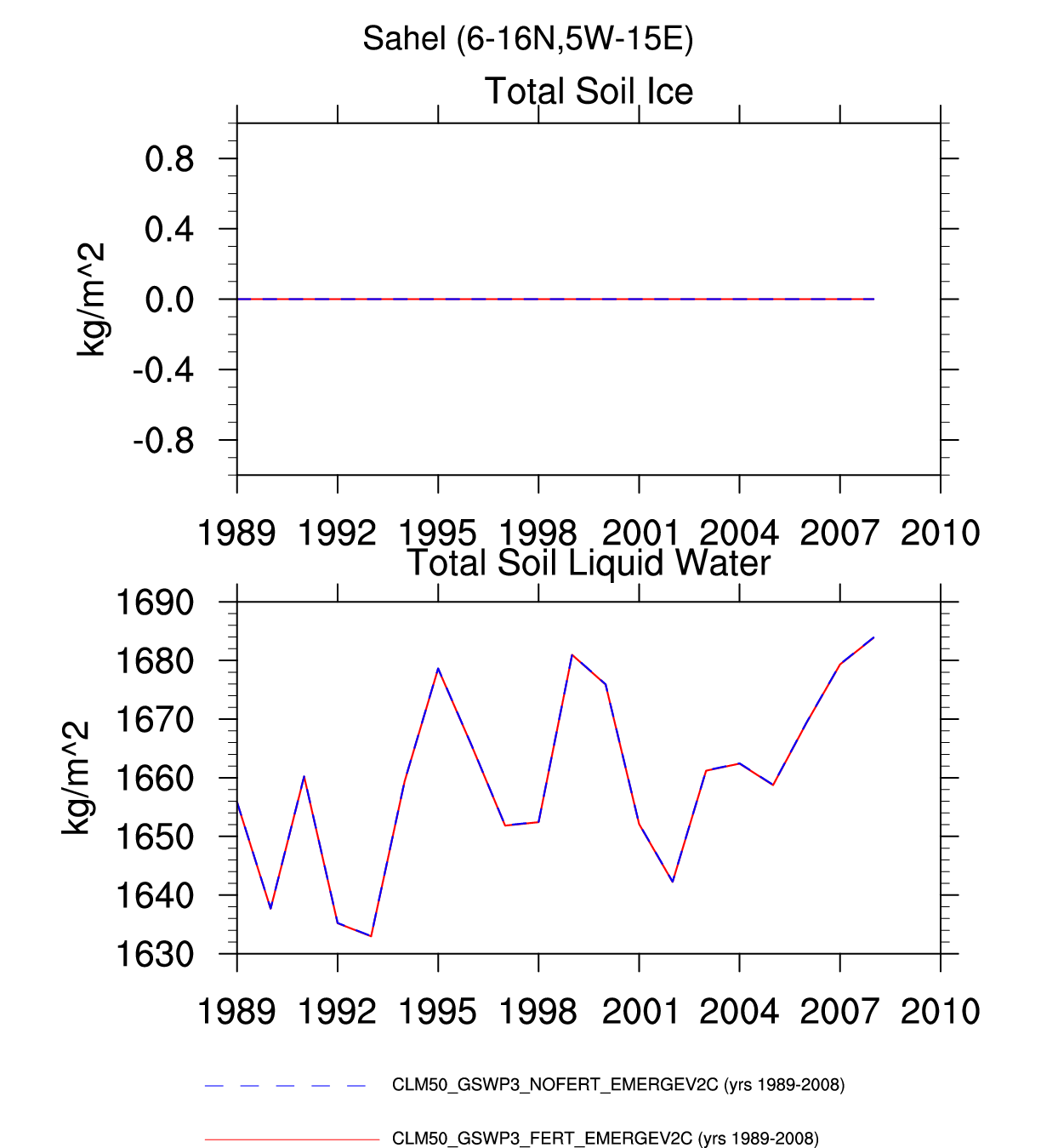
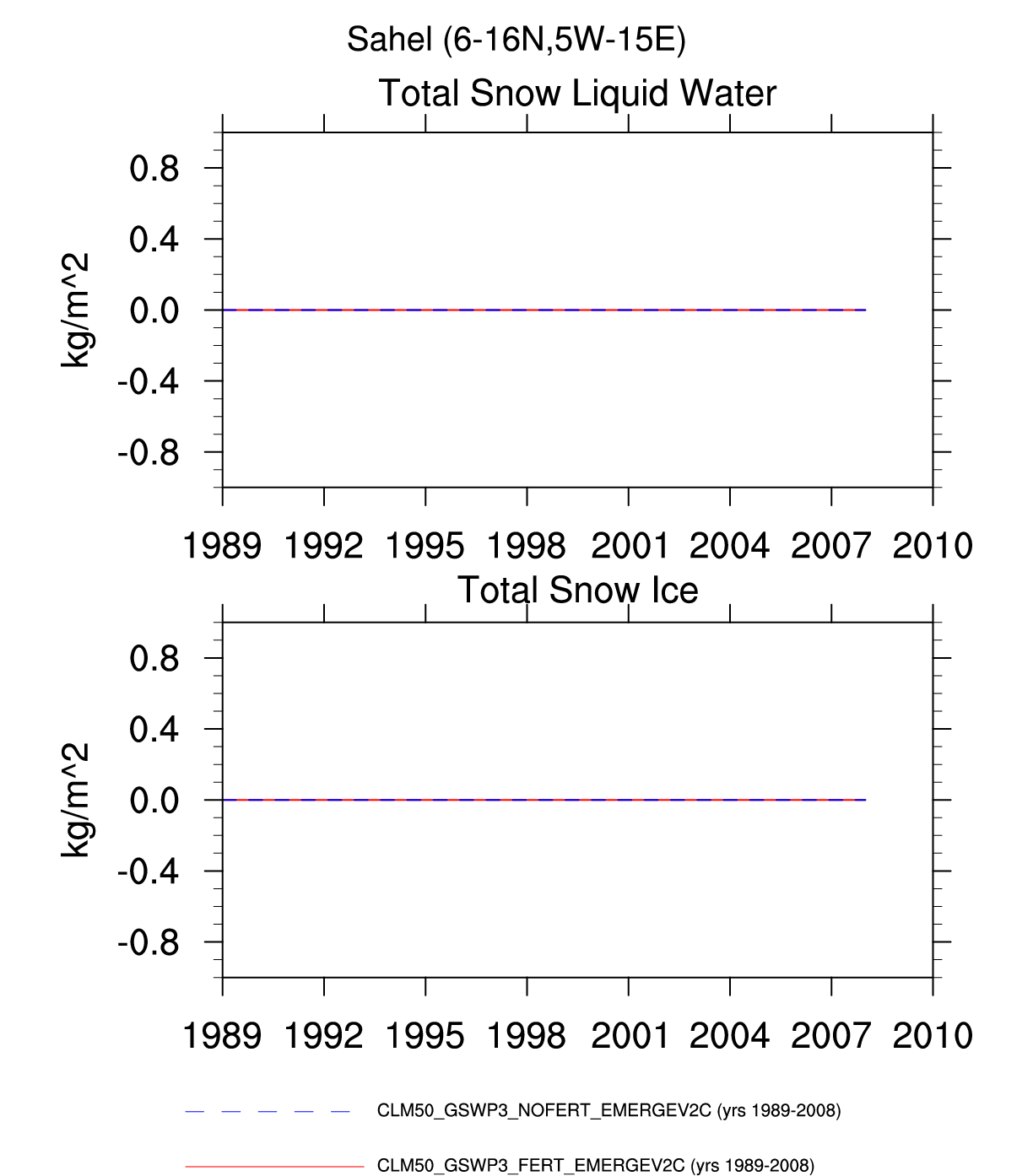
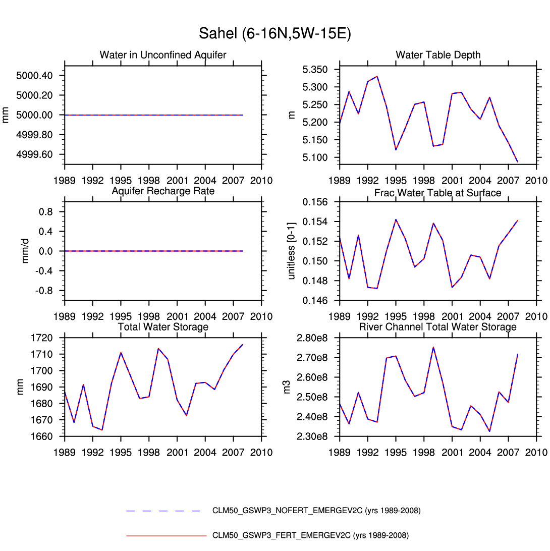
| Sahel | -- | -- | plot | plot | plot | -- | -- | -- | -- | plot | plot | plot | plot |
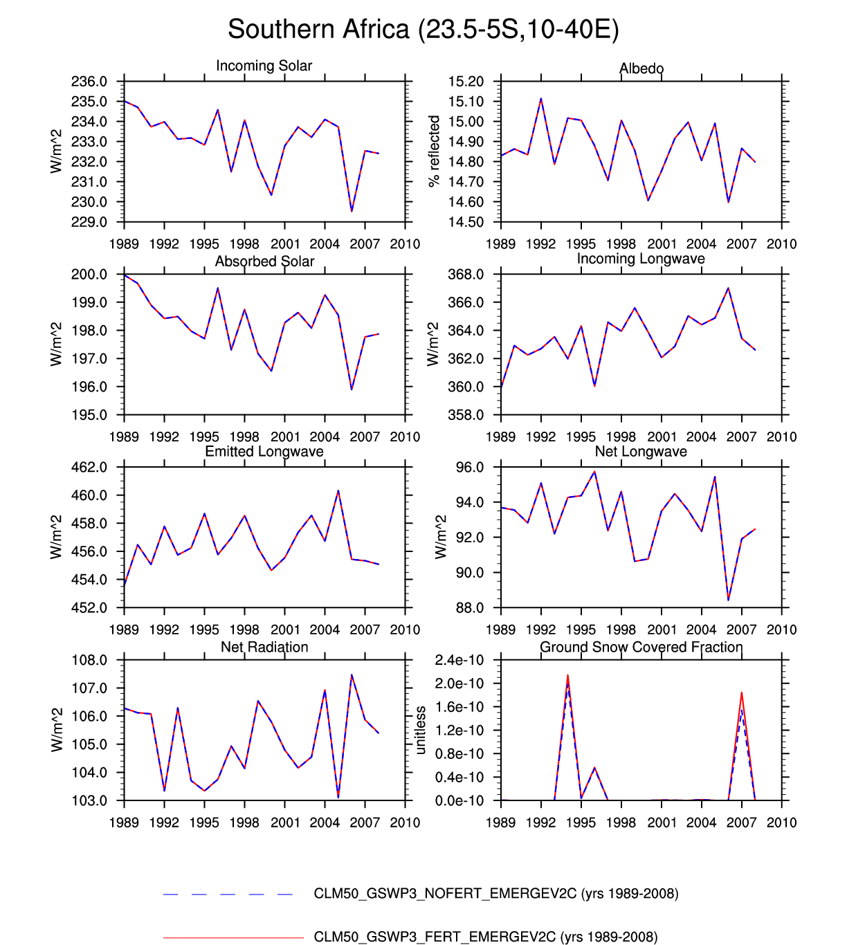
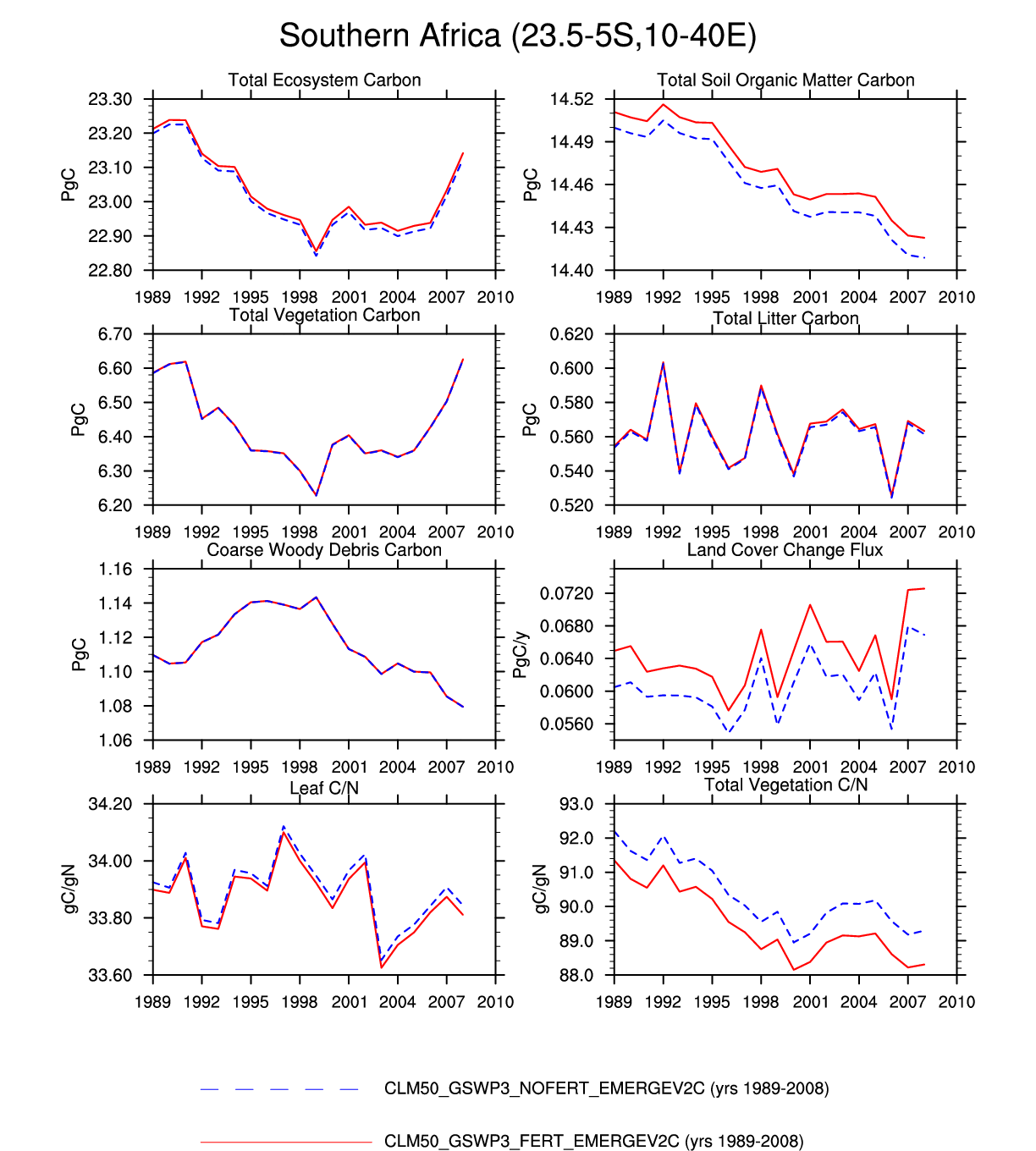
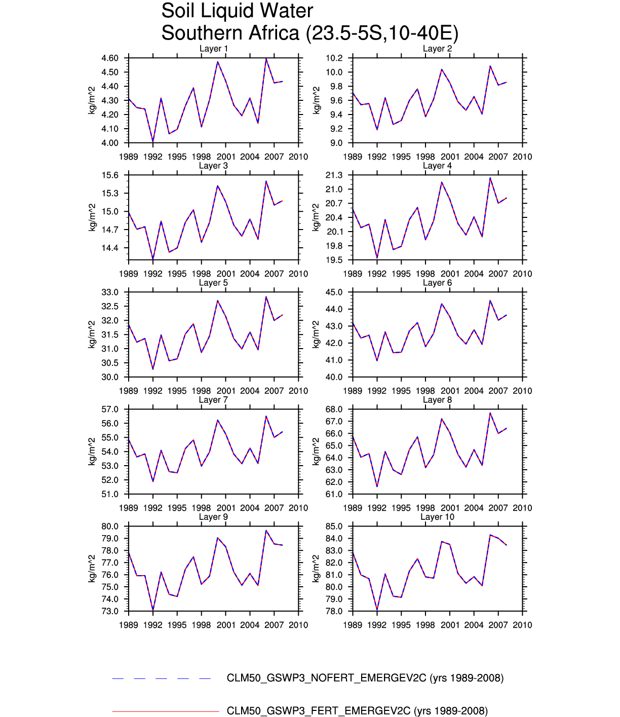
| Southern Africa | -- | -- | plot | -- | -- | -- | plot | -- | plot | -- | -- | -- | -- |
| ARID | |||||||||||||
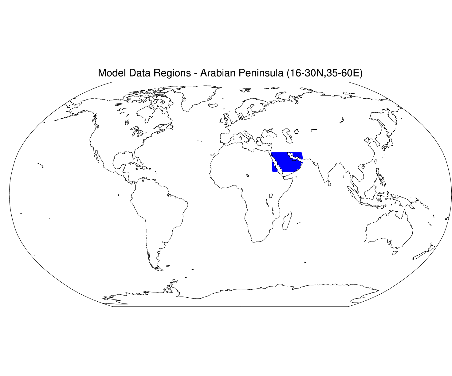
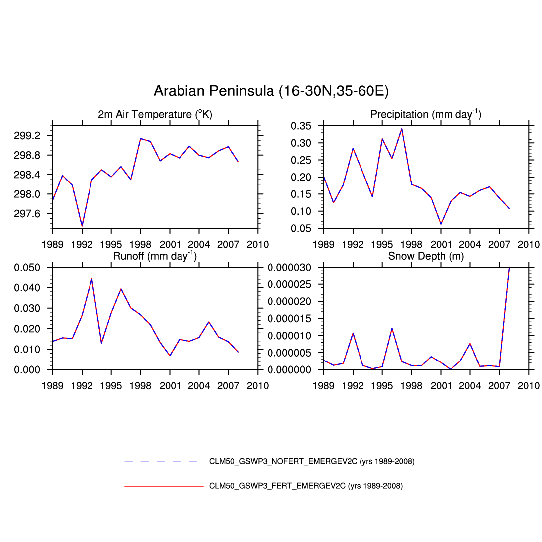
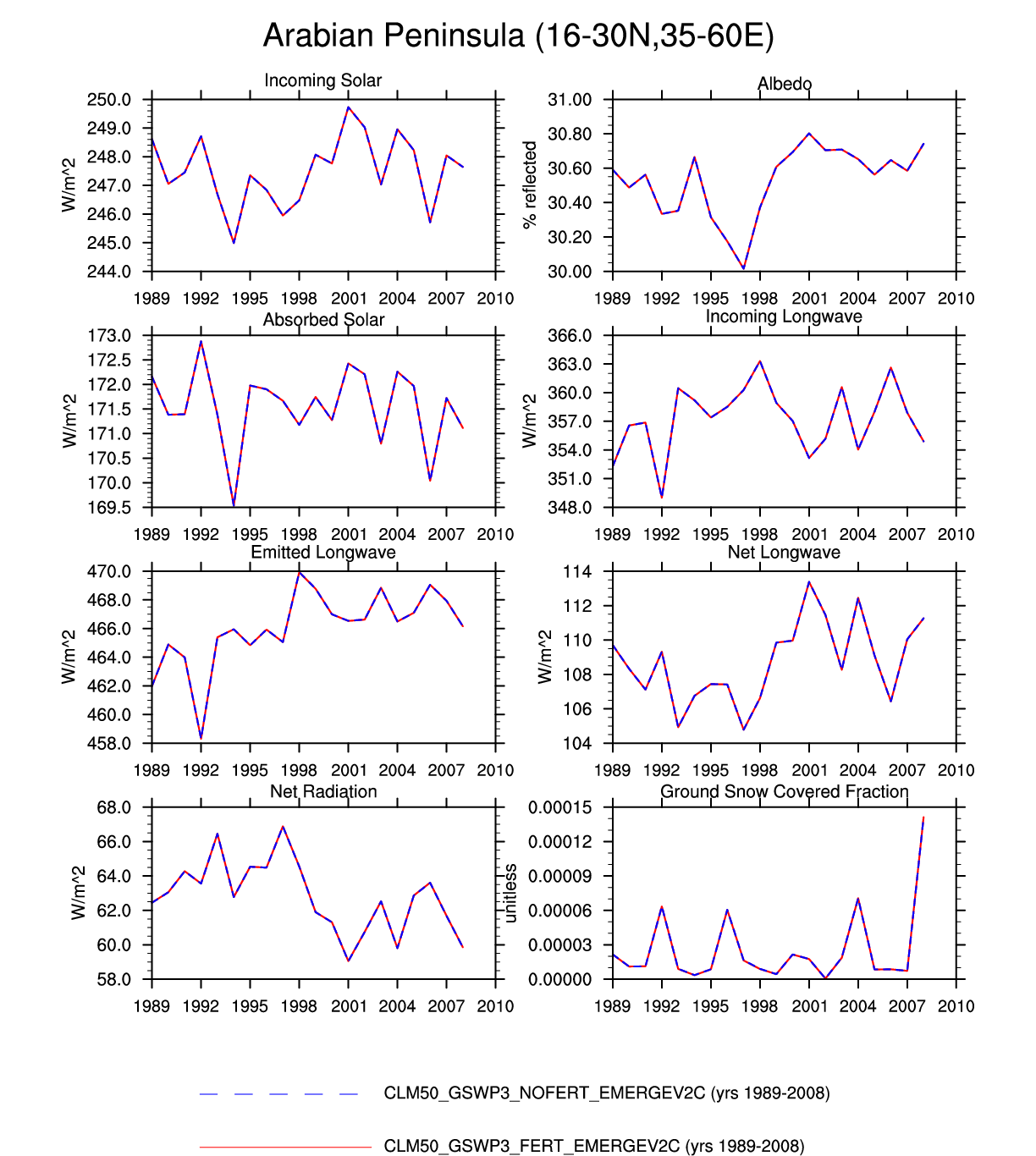
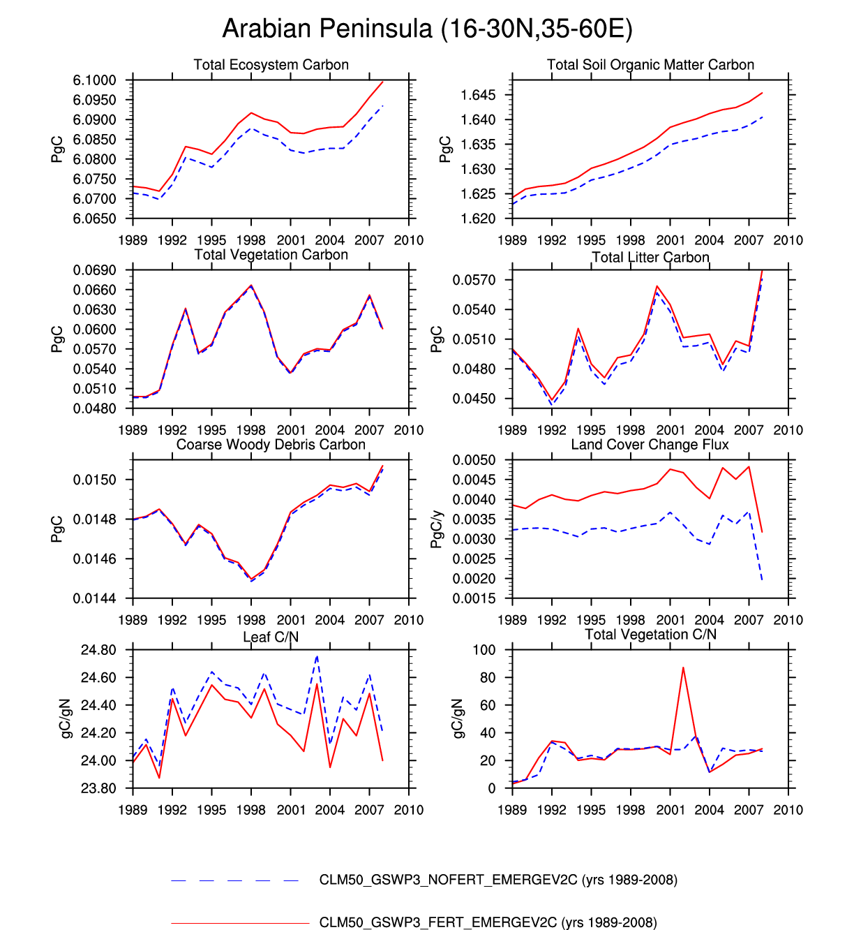
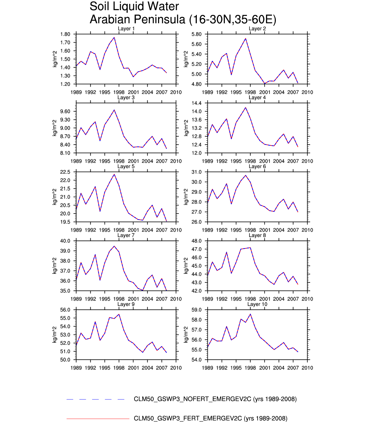
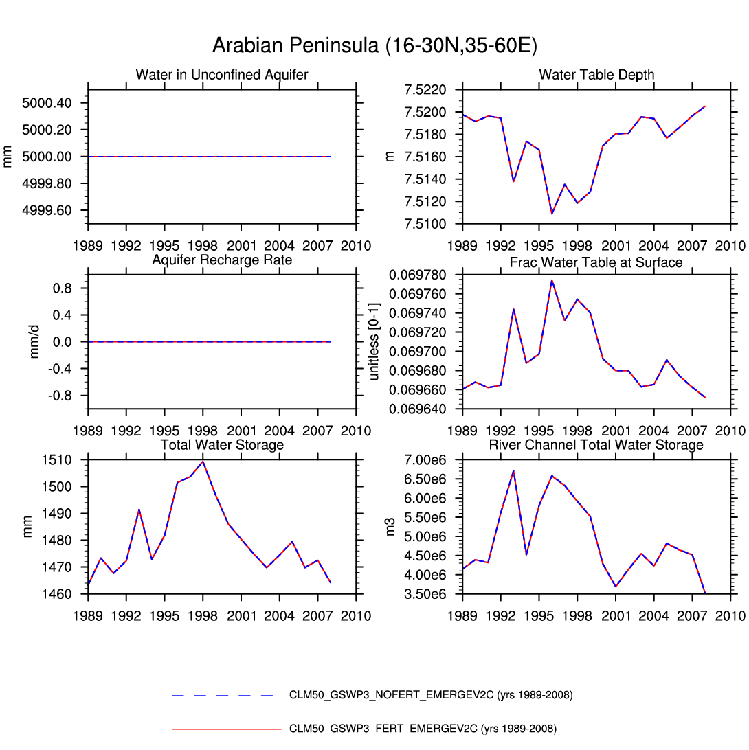
| Arabian Peninsula | map | plot | plot | -- | -- | -- | plot | -- | plot | -- | -- | -- | plot |
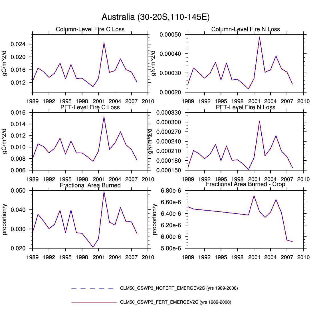
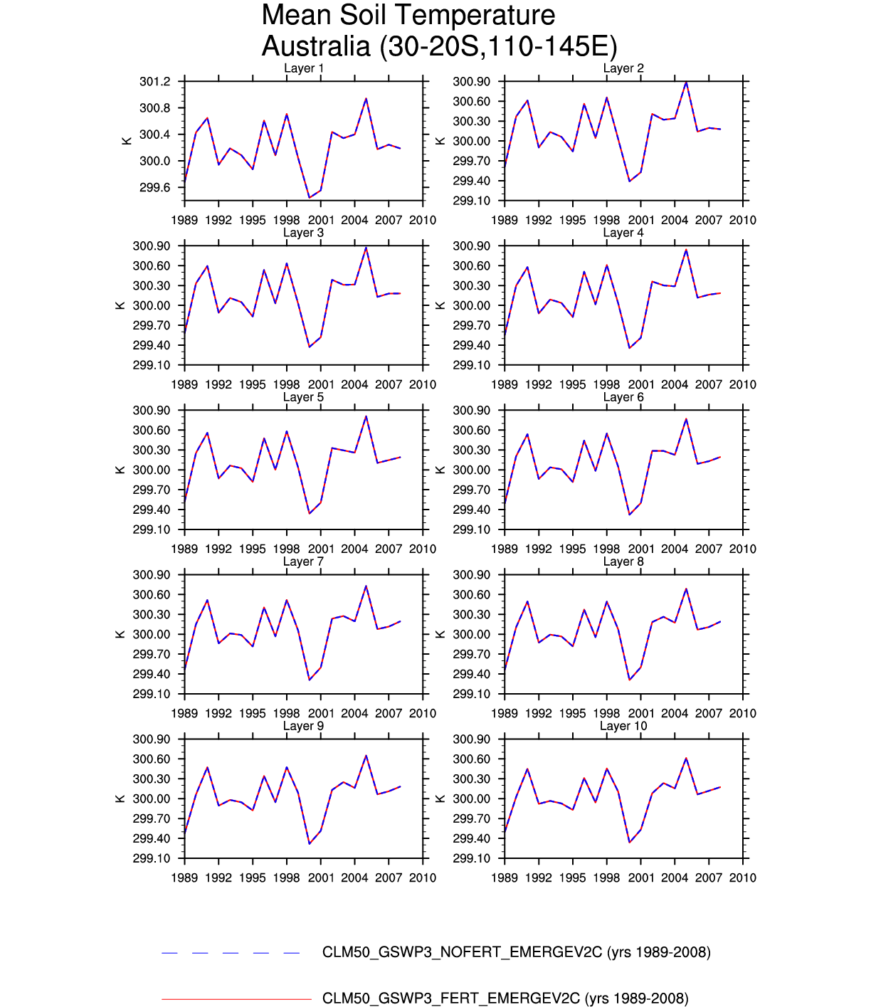
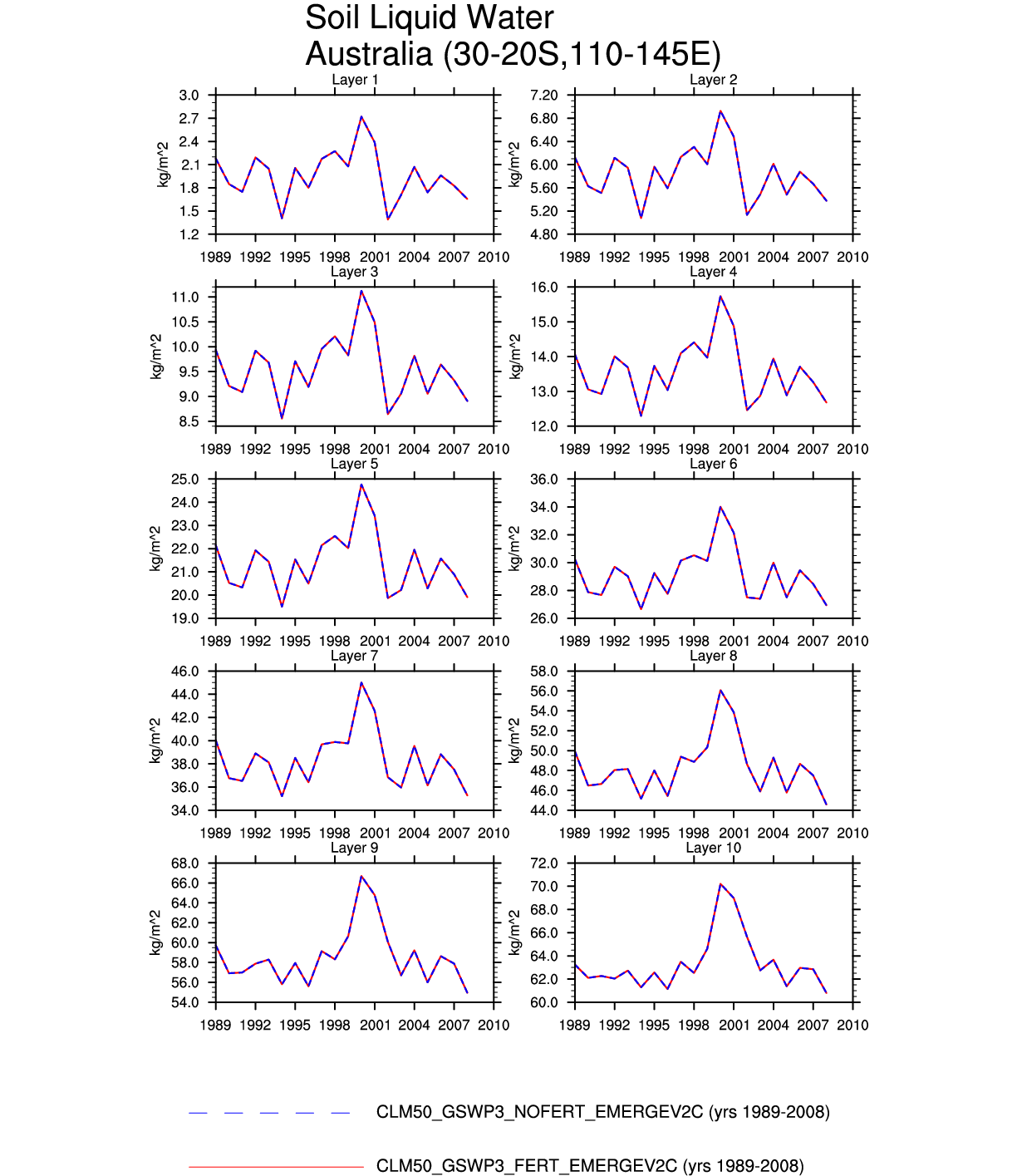
| Australia | -- | -- | -- | -- | -- | plot | -- | plot | plot | -- | -- | -- | -- |
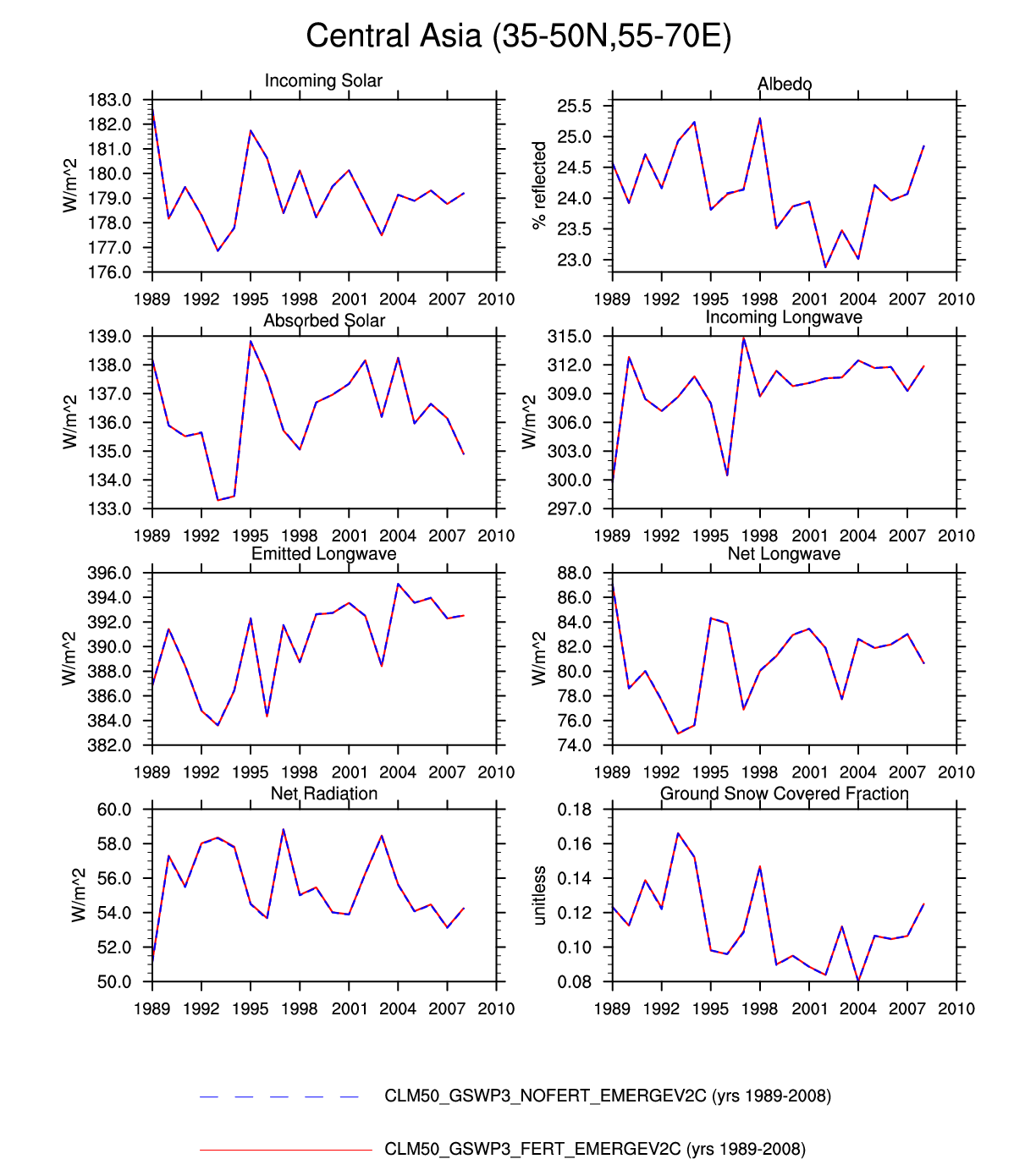
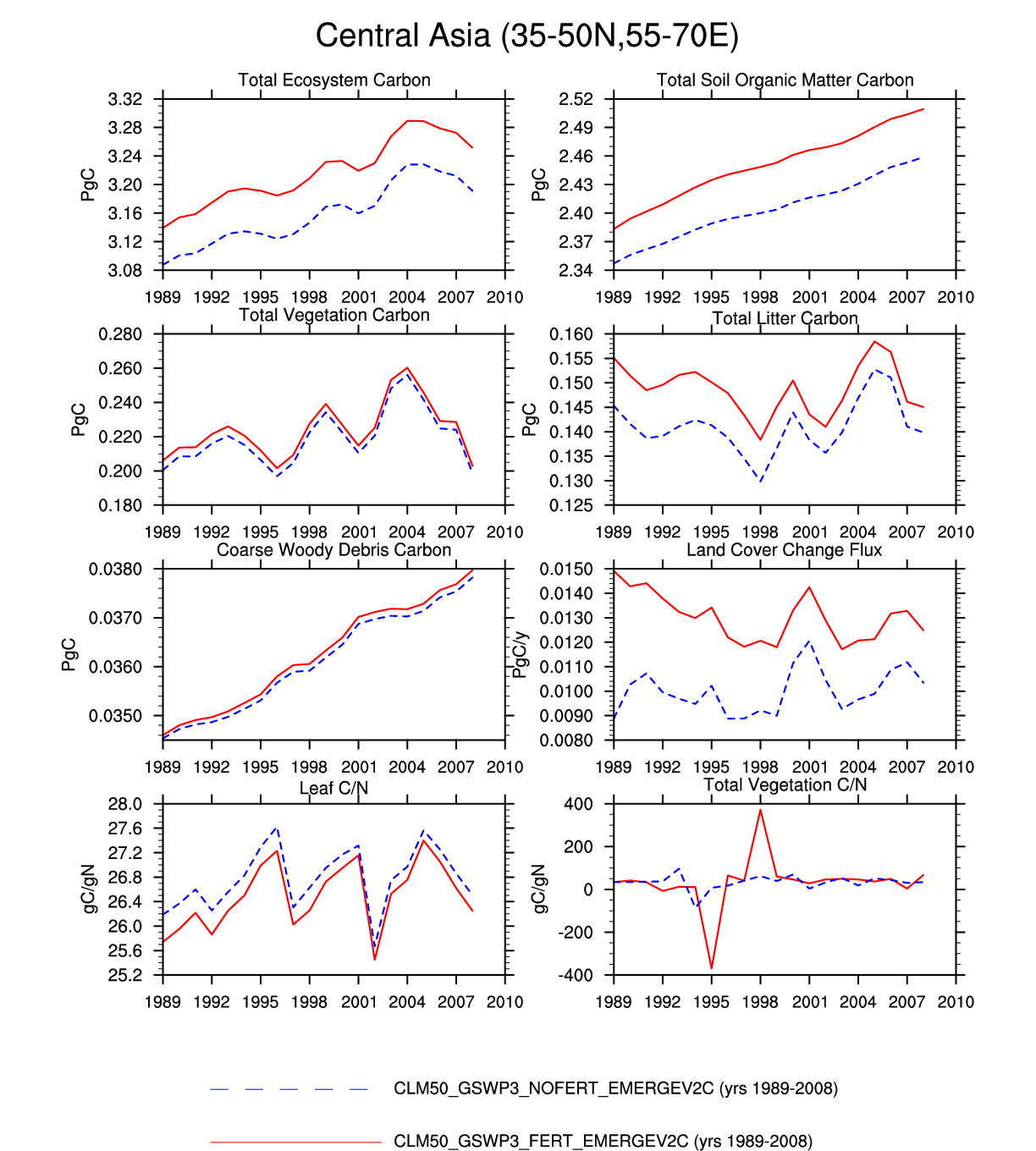
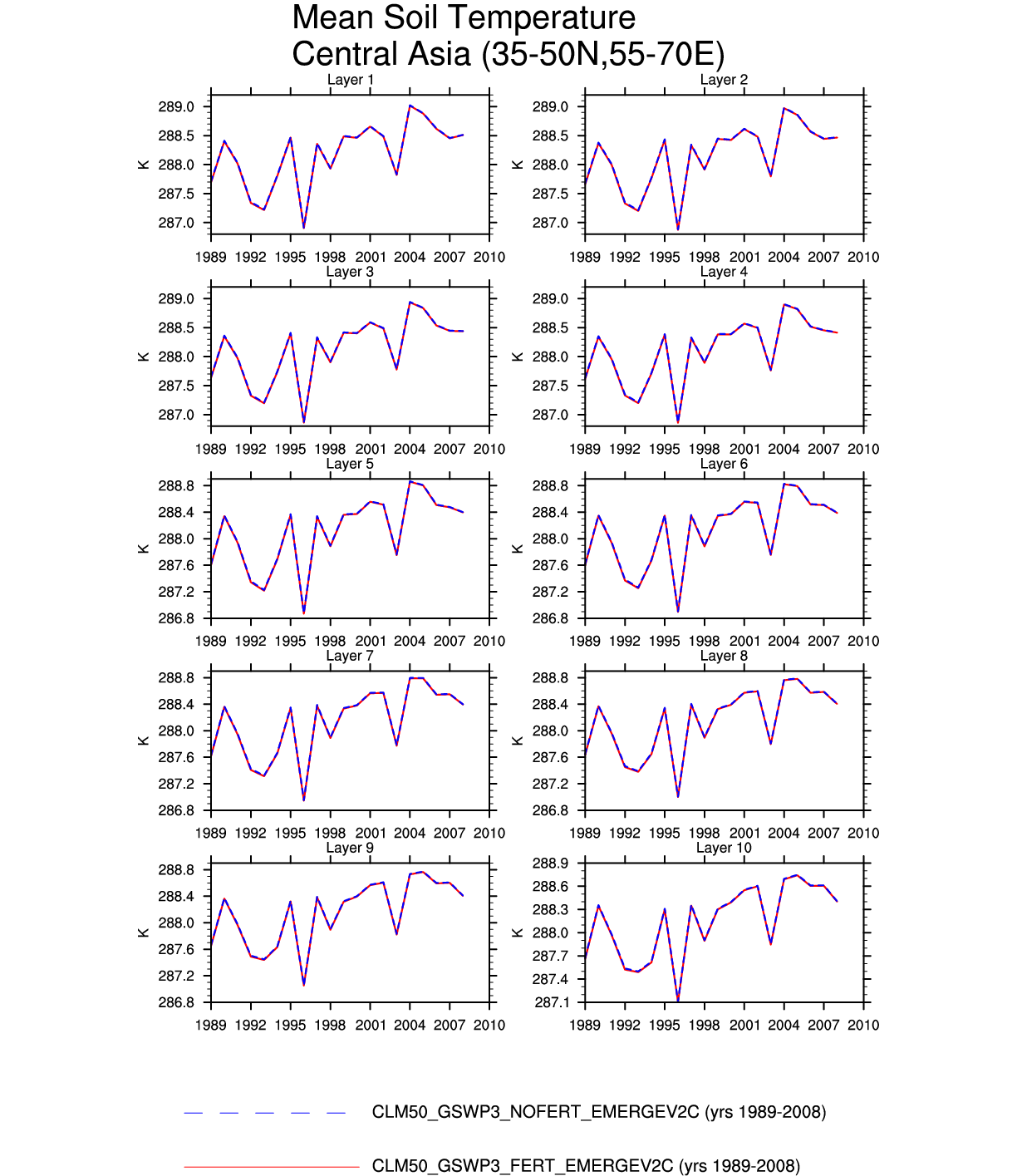
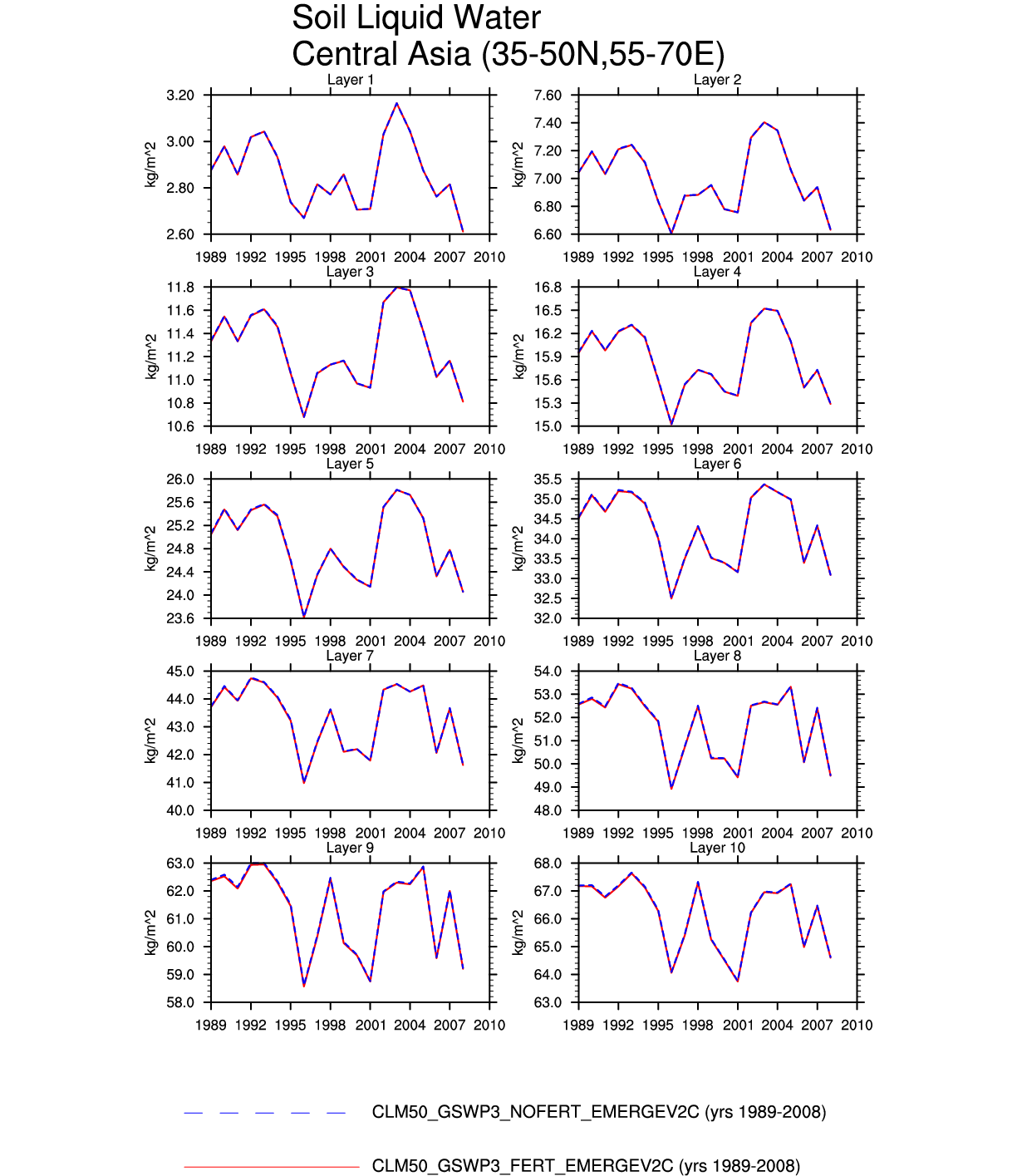
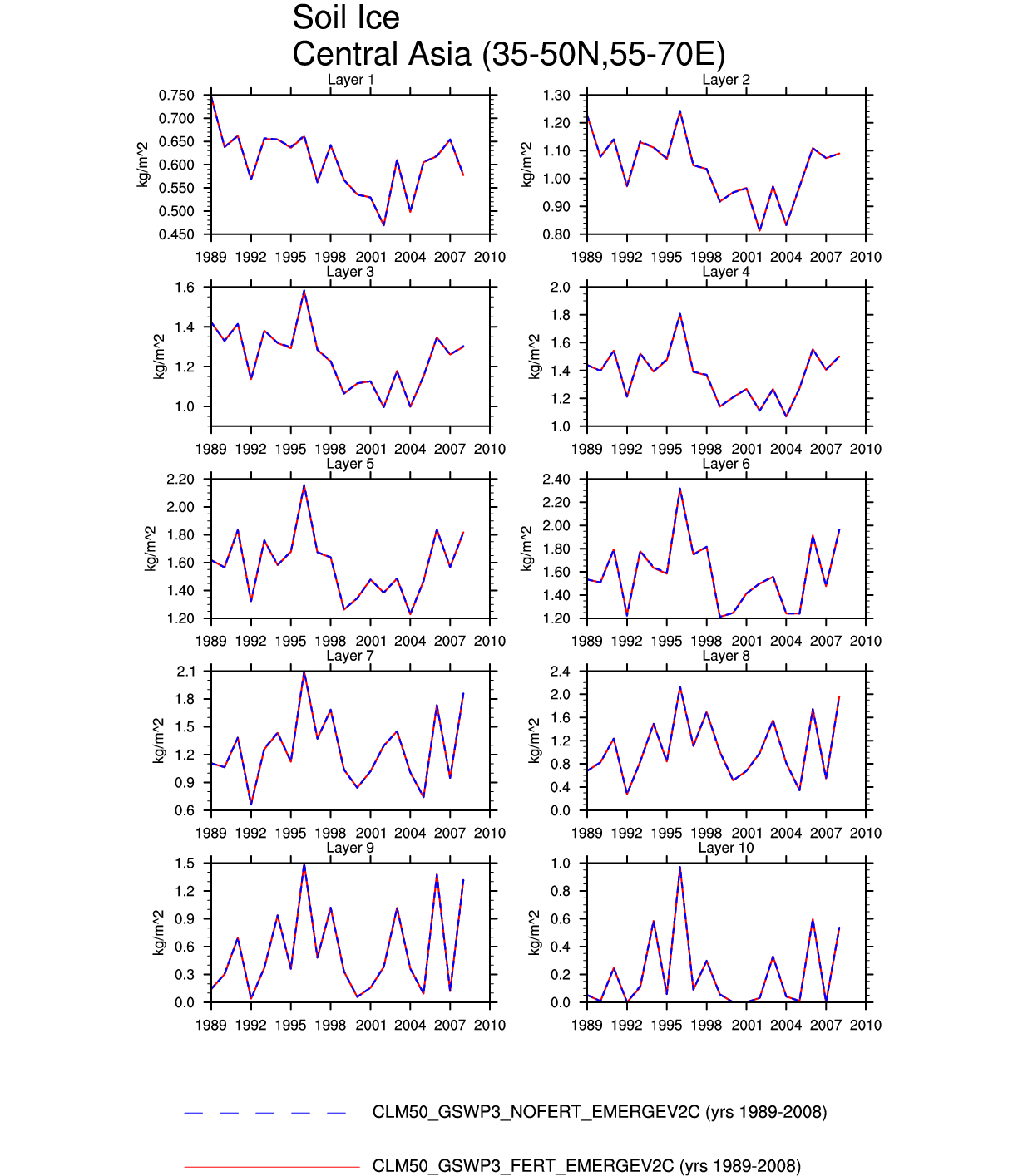
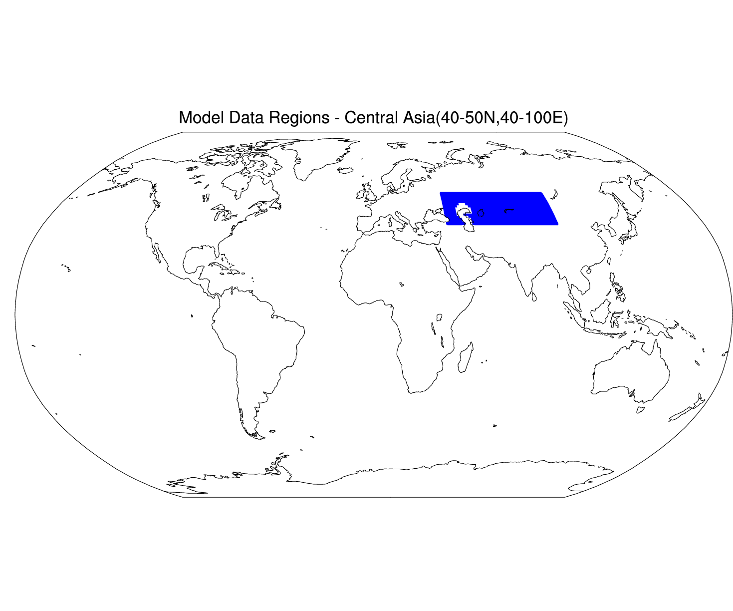
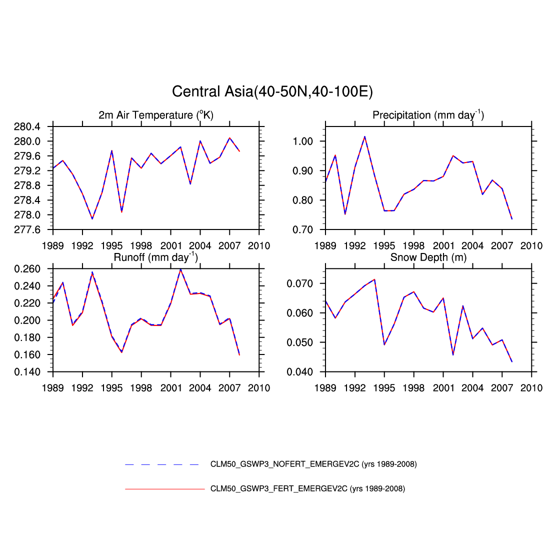
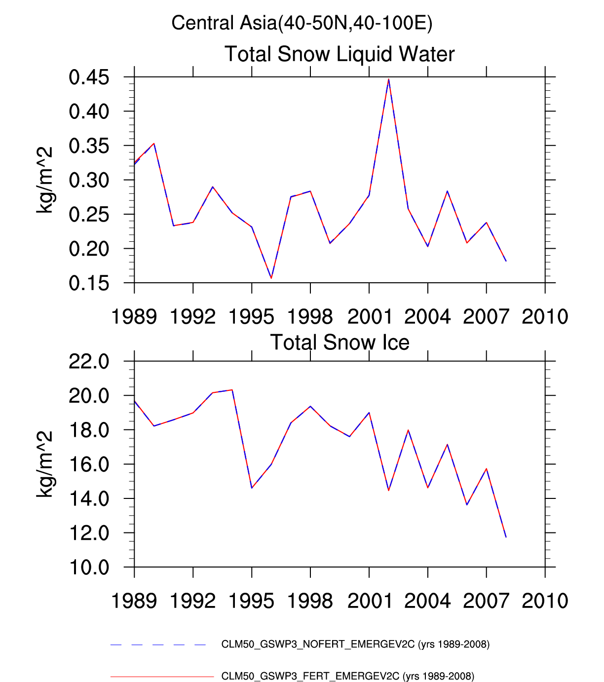
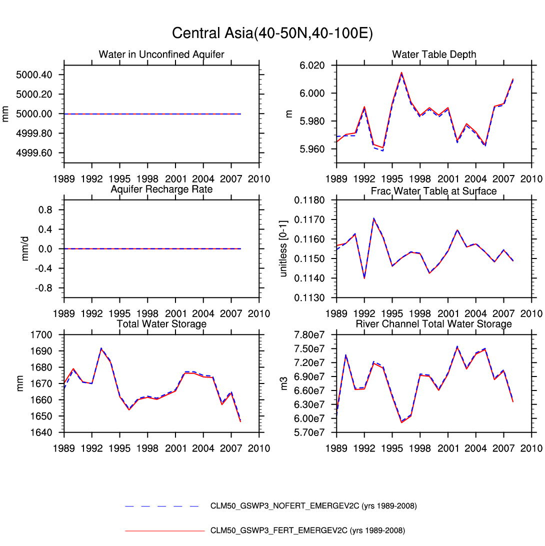
| Central Asia | -- | plot | plot | -- | -- | -- | plot | plot | plot | plot | -- | -- | -- |
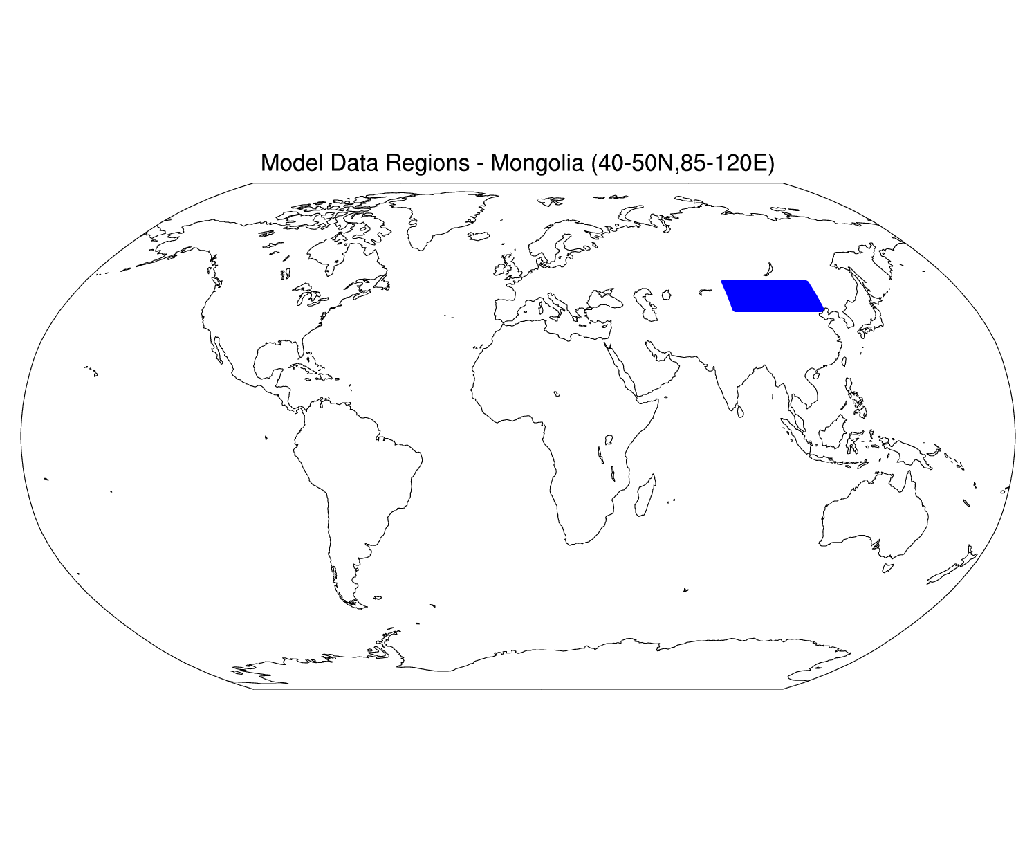
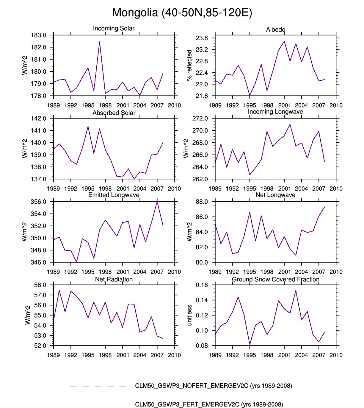
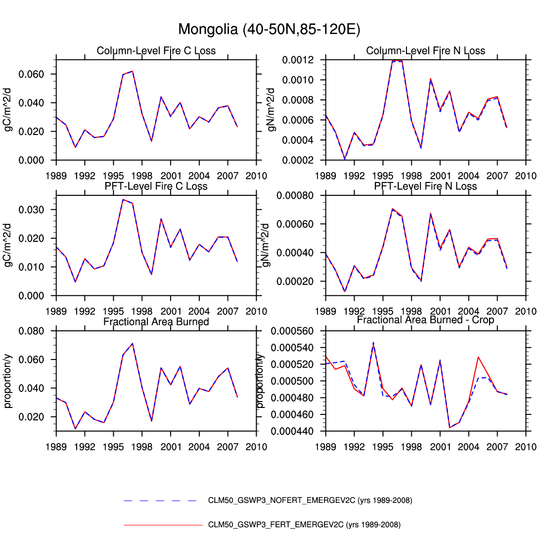
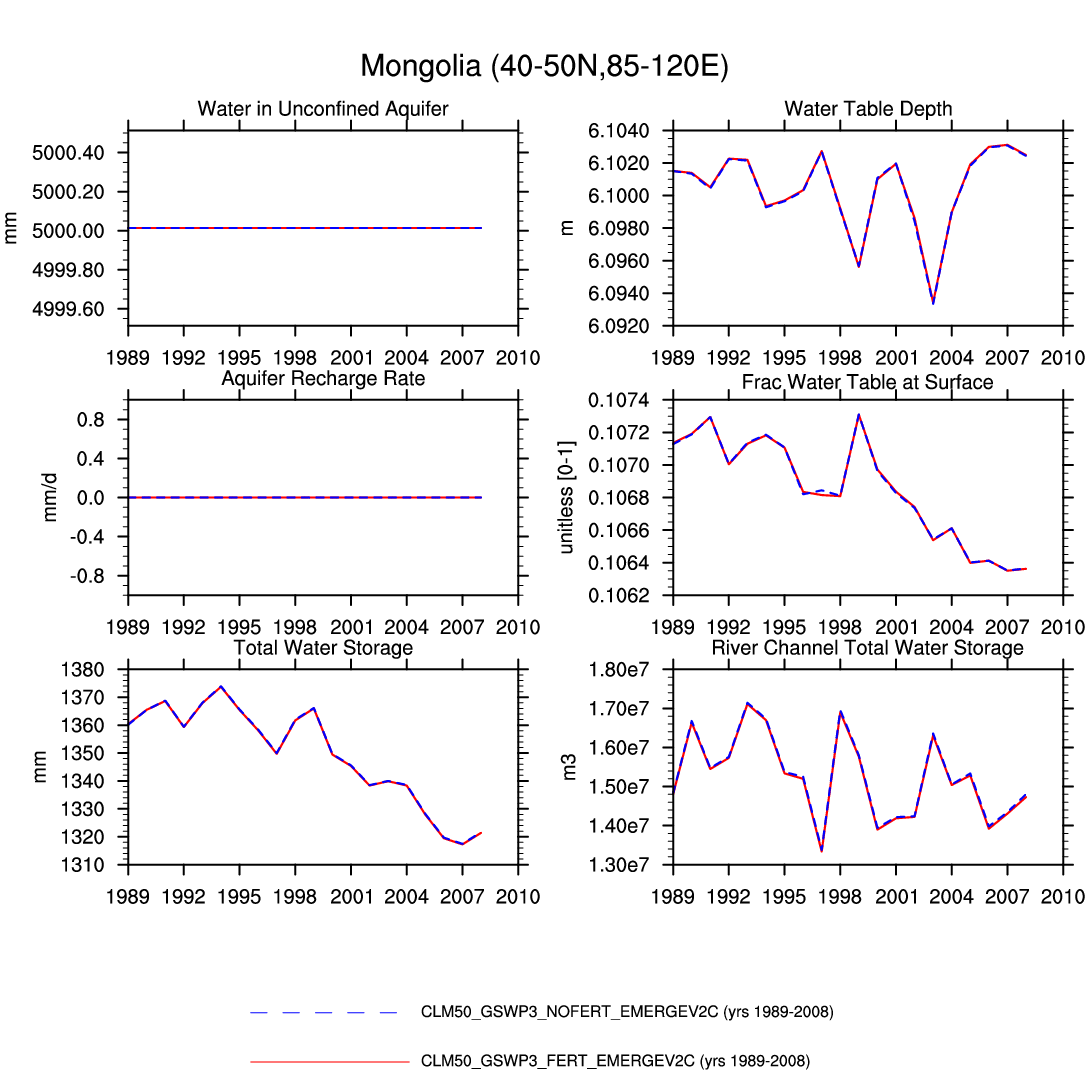
| Mongolia | map | -- | plot | plot | -- | plot | -- | -- | -- | plot | -- | -- | plot |
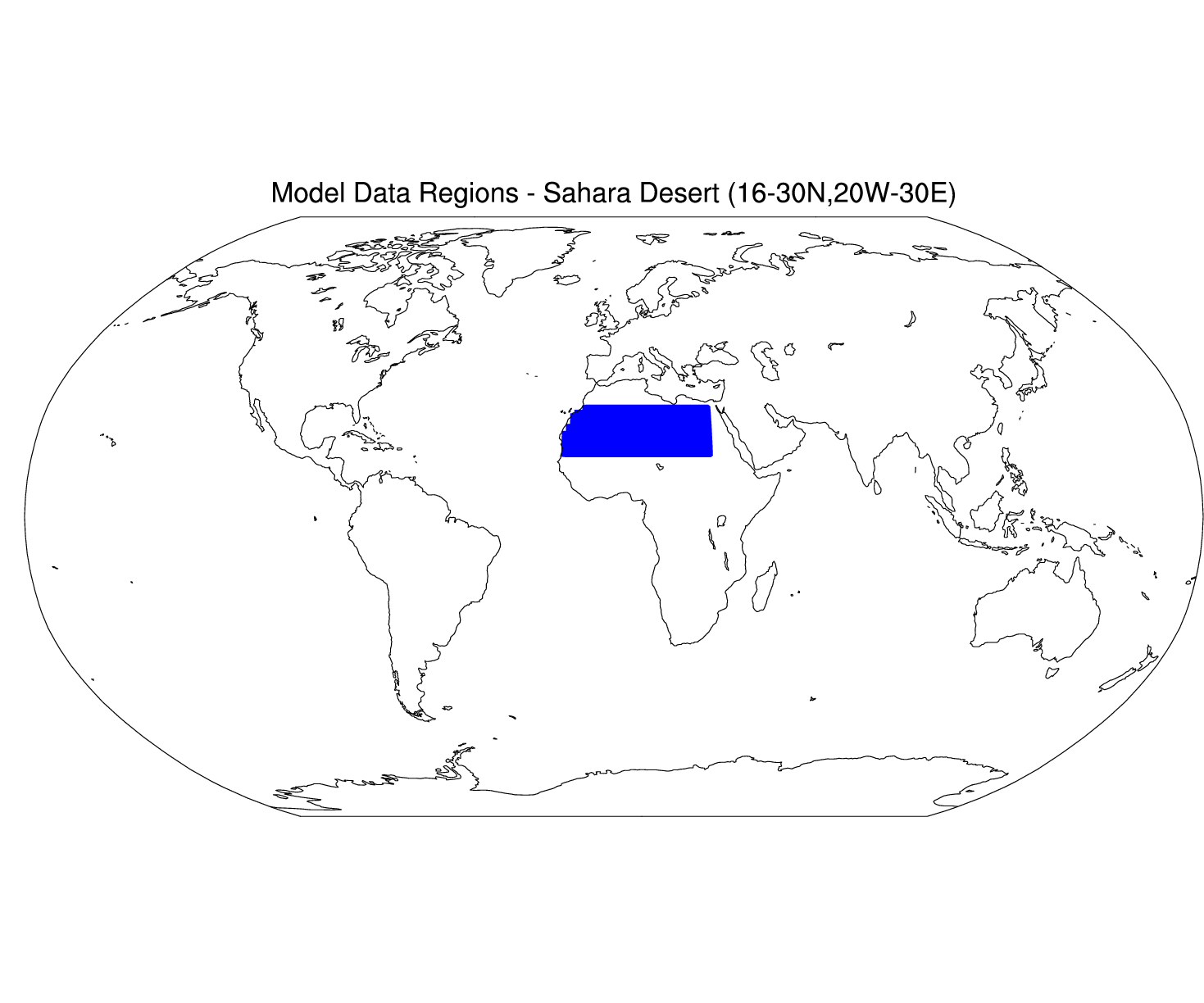
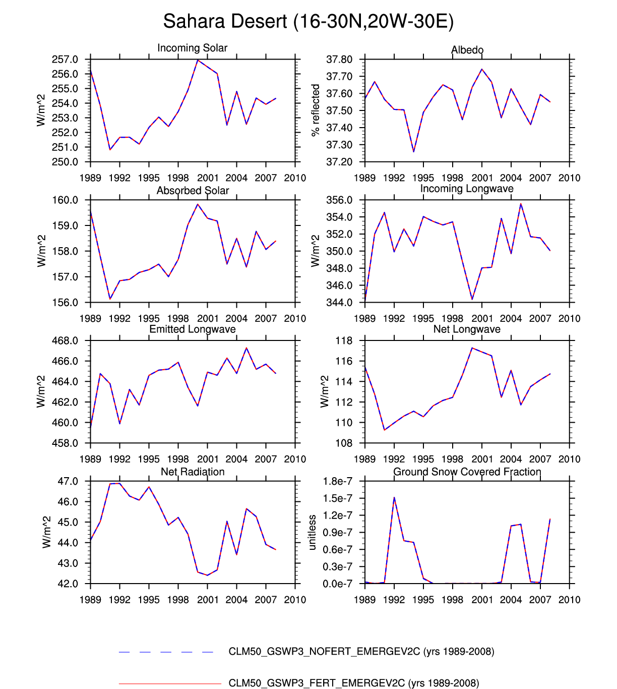
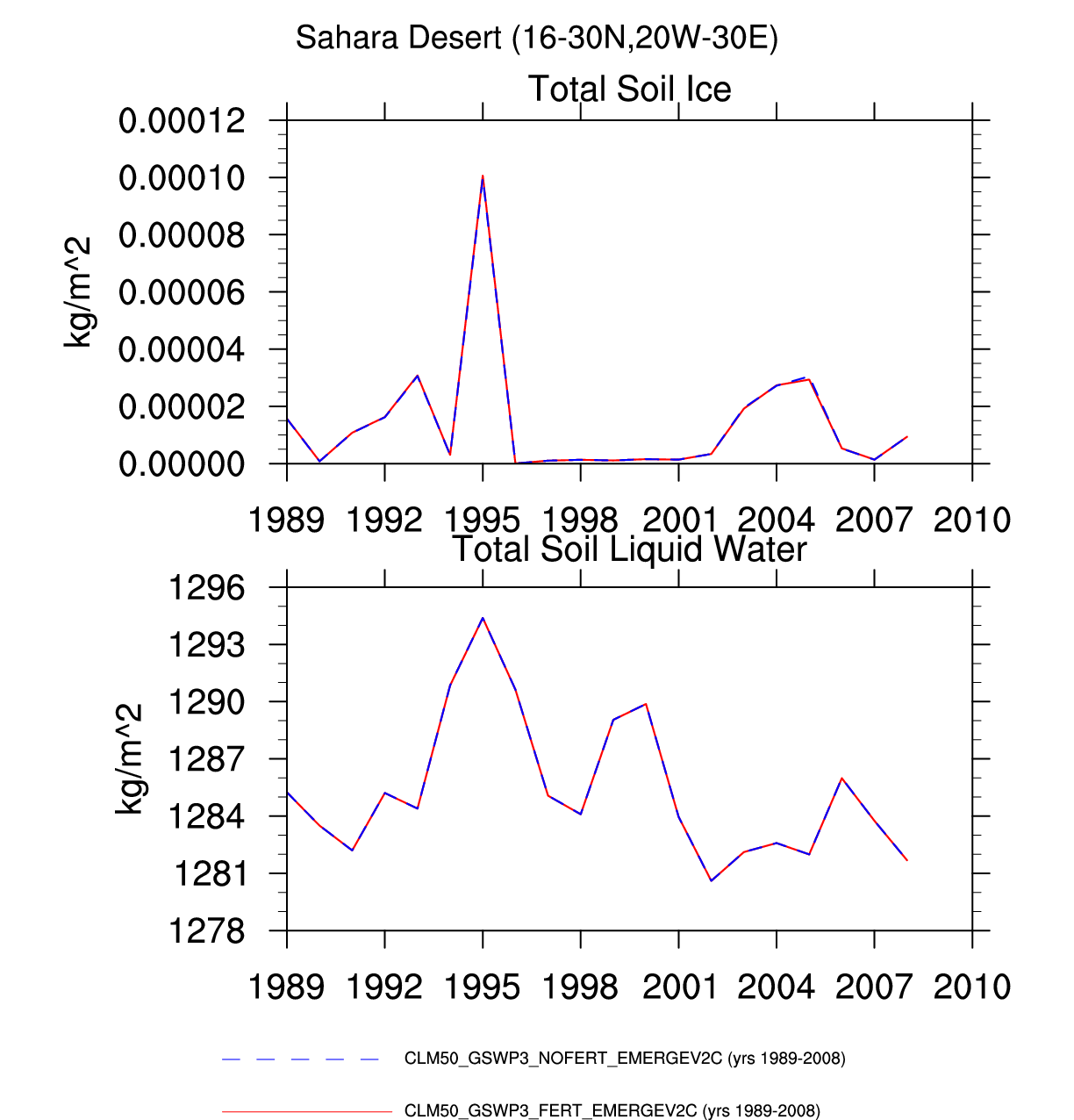
| Sahara Desert | map | -- | plot | -- | -- | -- | -- | -- | -- | -- | plot | -- | -- |
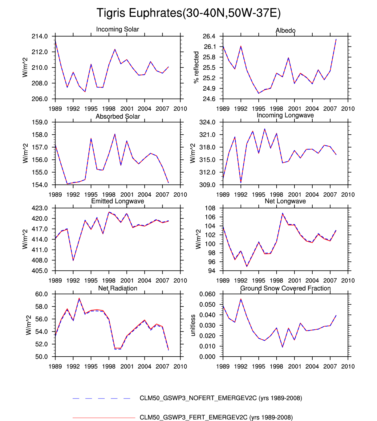
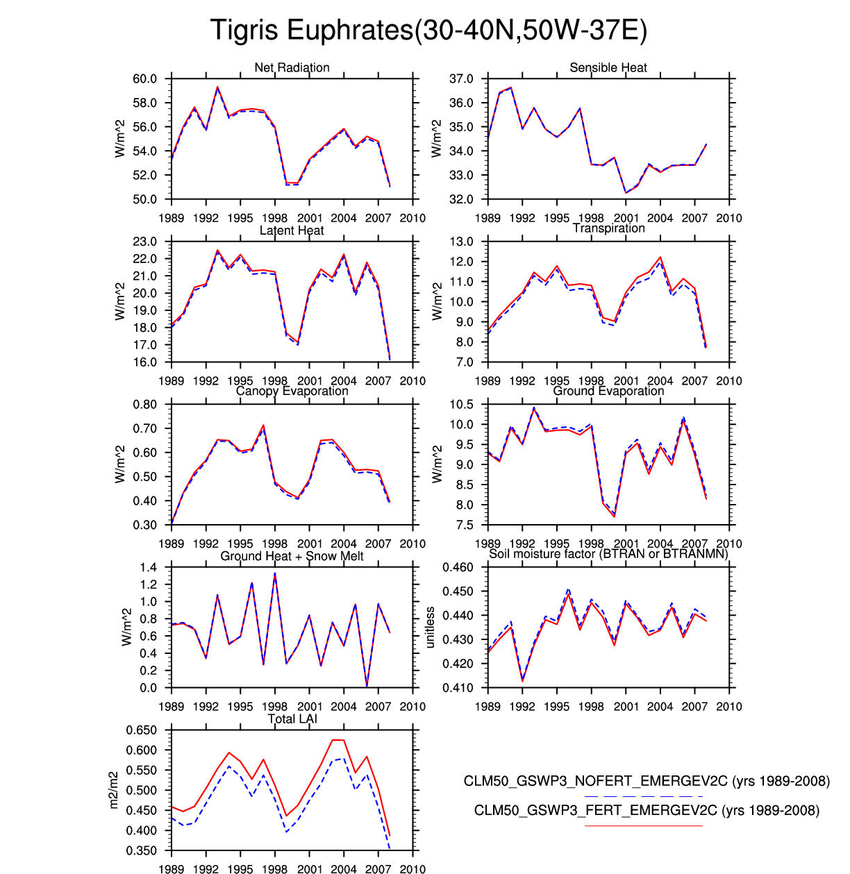
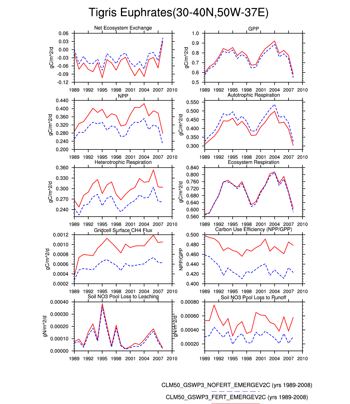
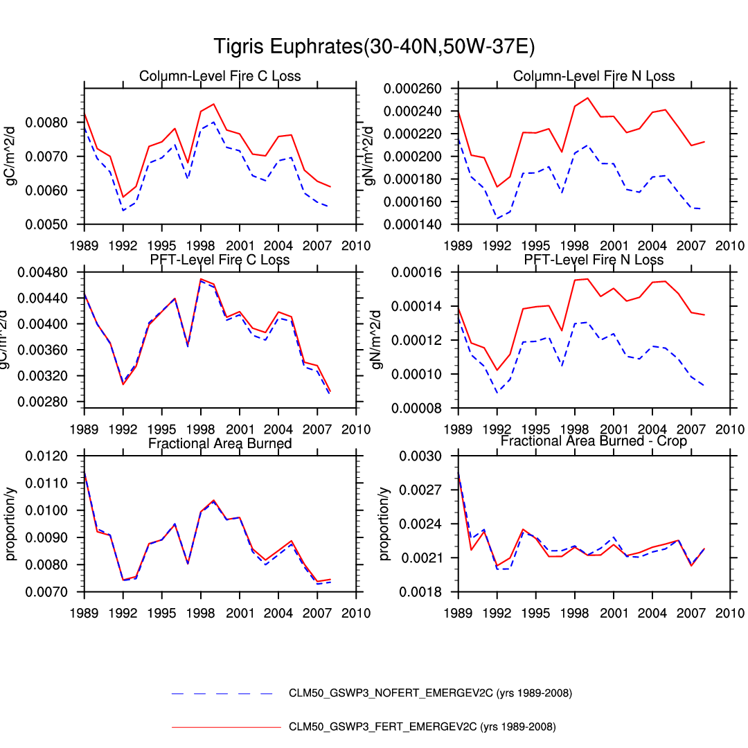
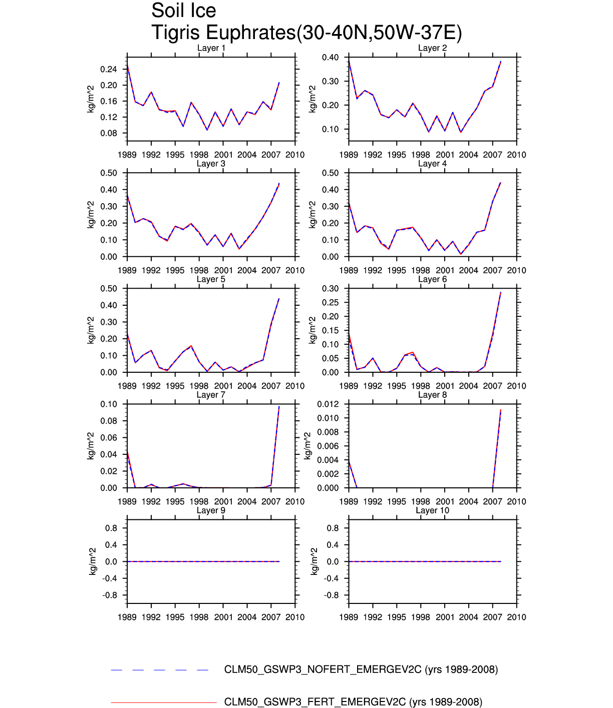
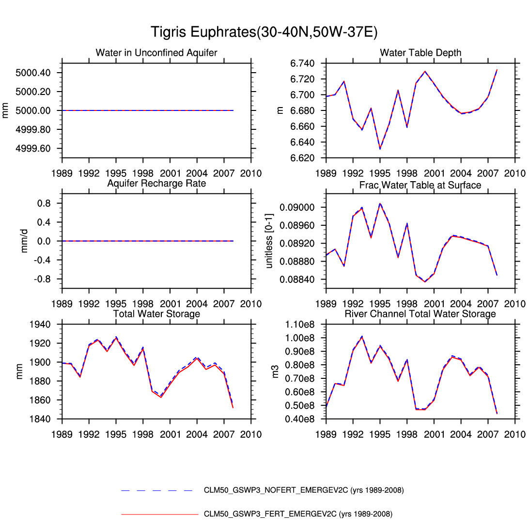
| Tigris_Euphrates | -- | -- | plot | plot | plot | plot | -- | -- | -- | plot | -- | -- | plot |
| HIGHLAND | |||||||||||||
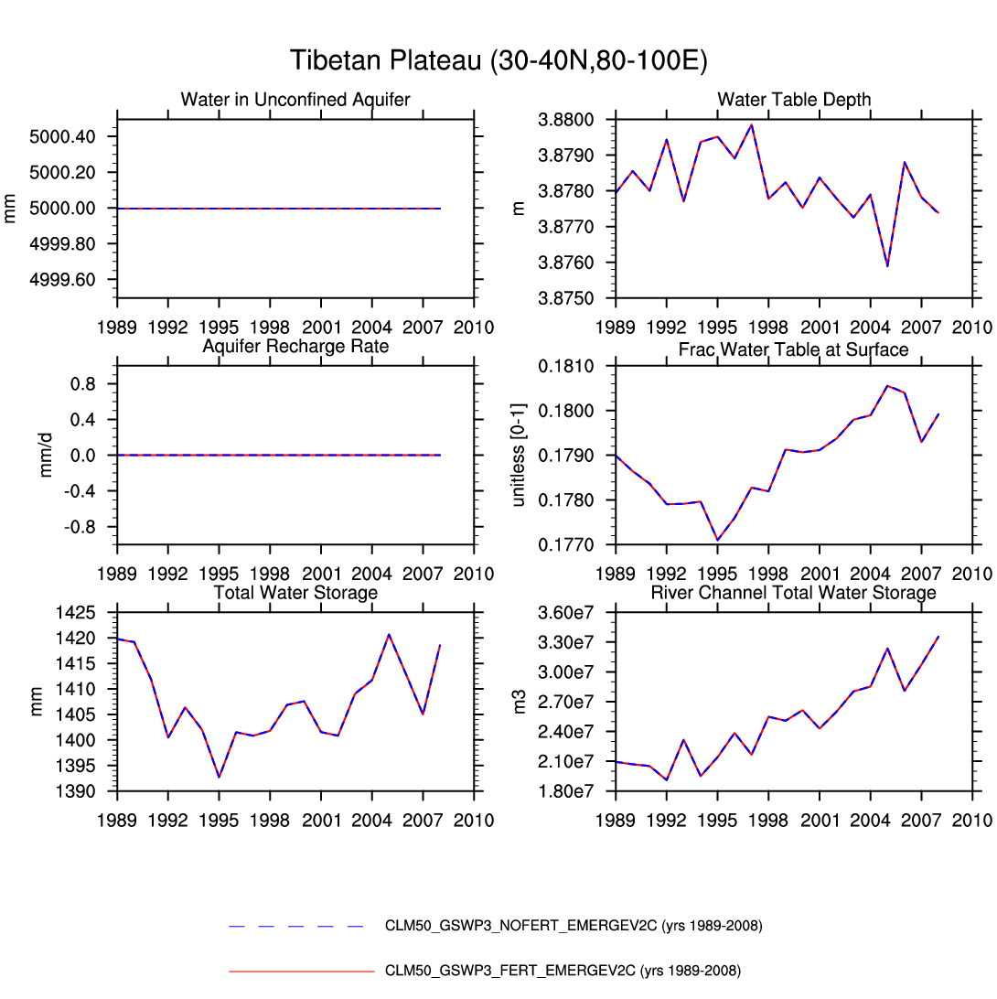
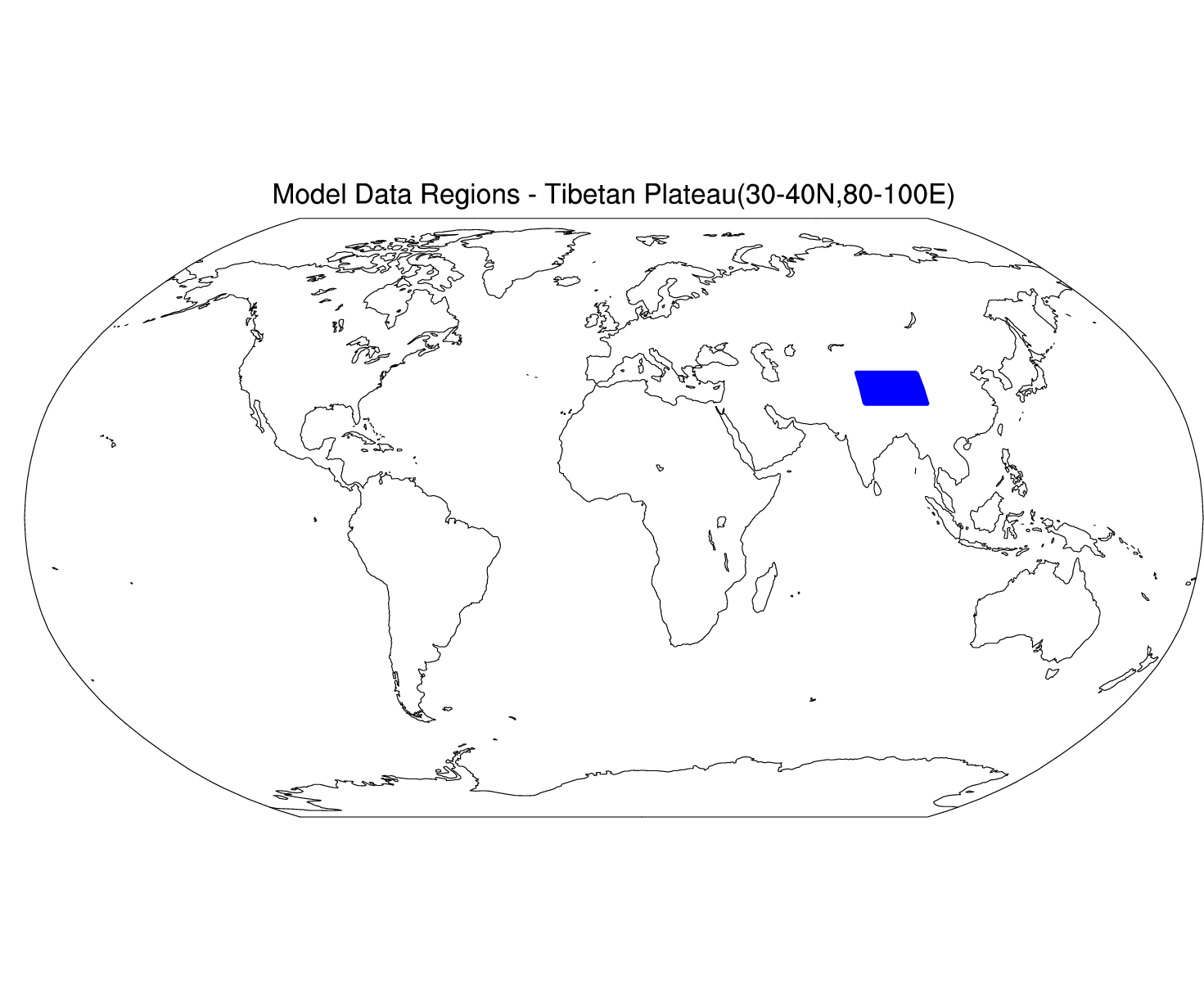
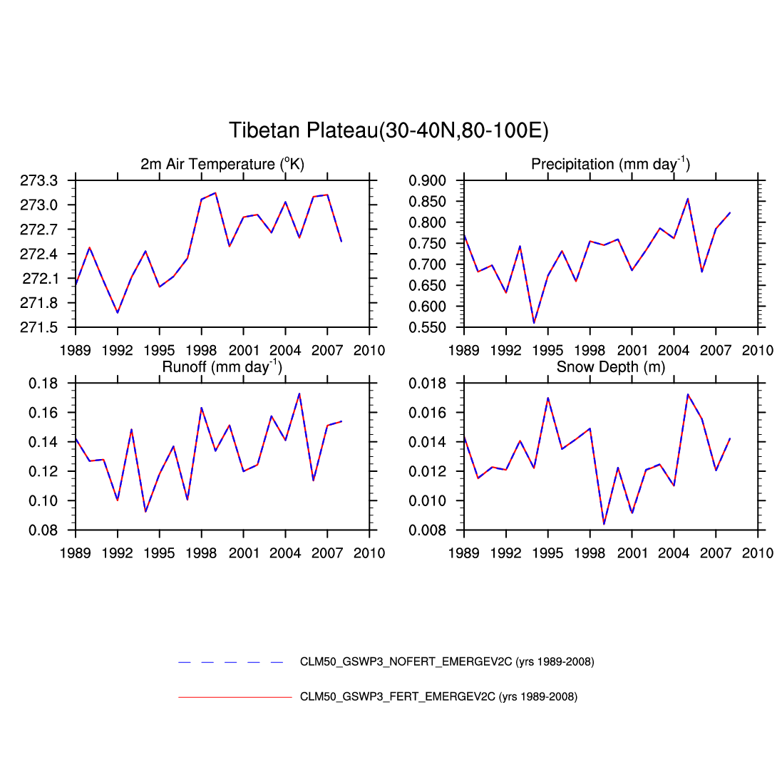
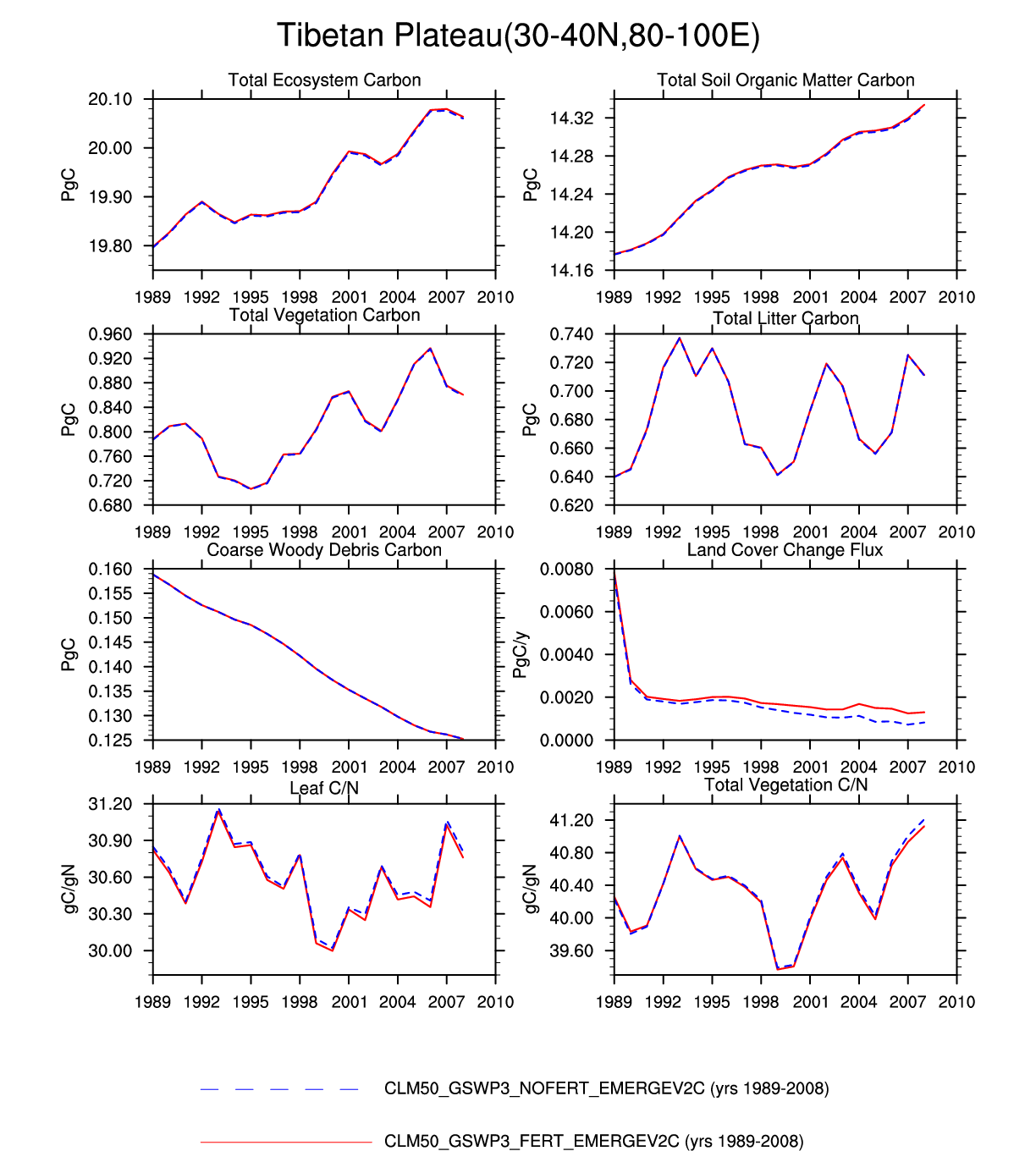
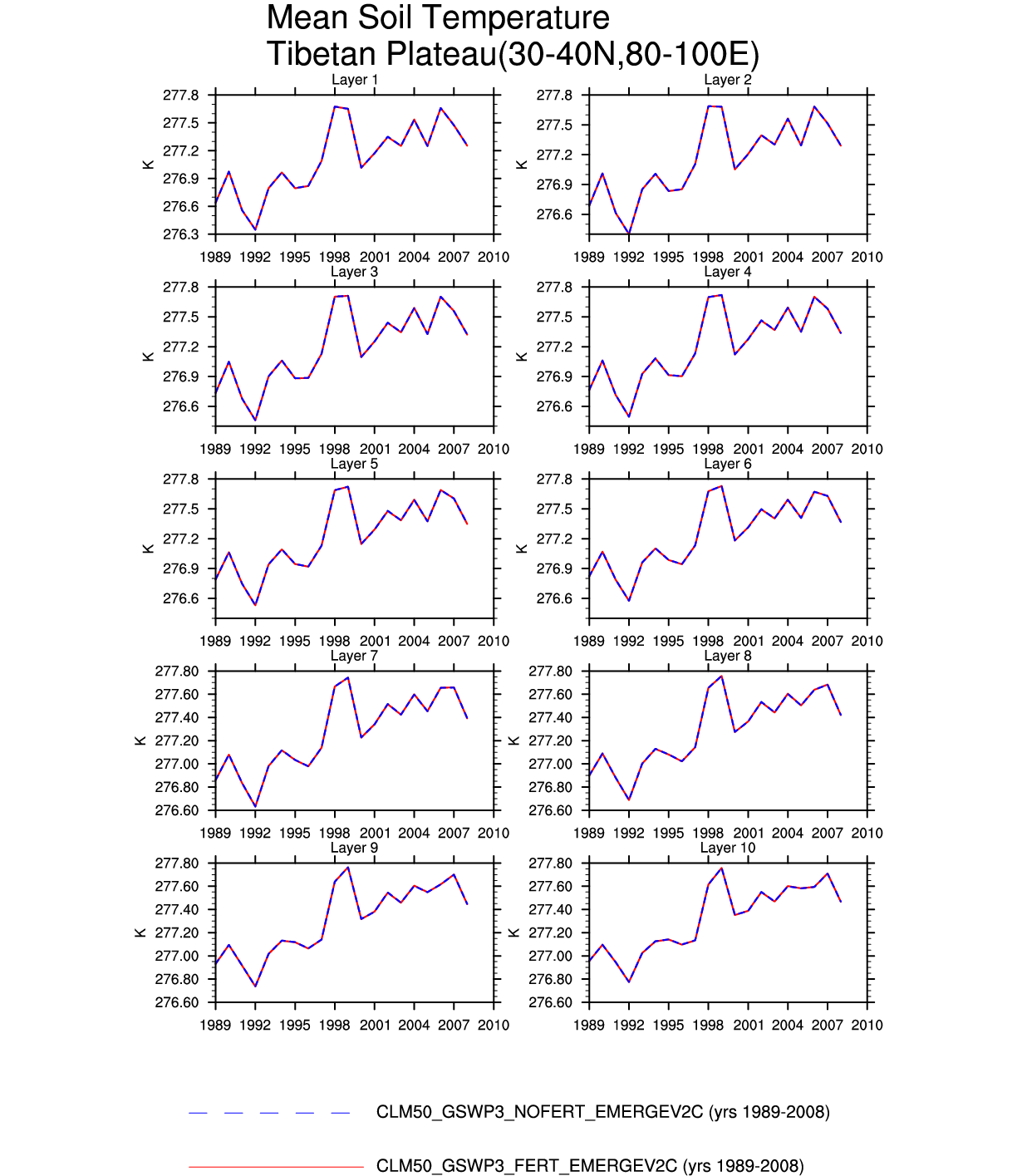
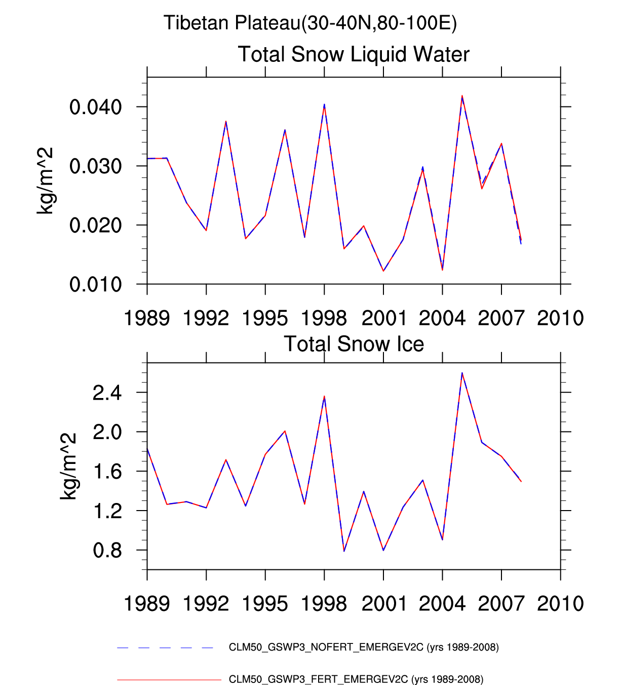
| Tibetan Plateau | -- | -- | -- | -- | -- | -- | -- | -- | -- | plot | -- | -- | plot |
| ASIA | |||||||||||||
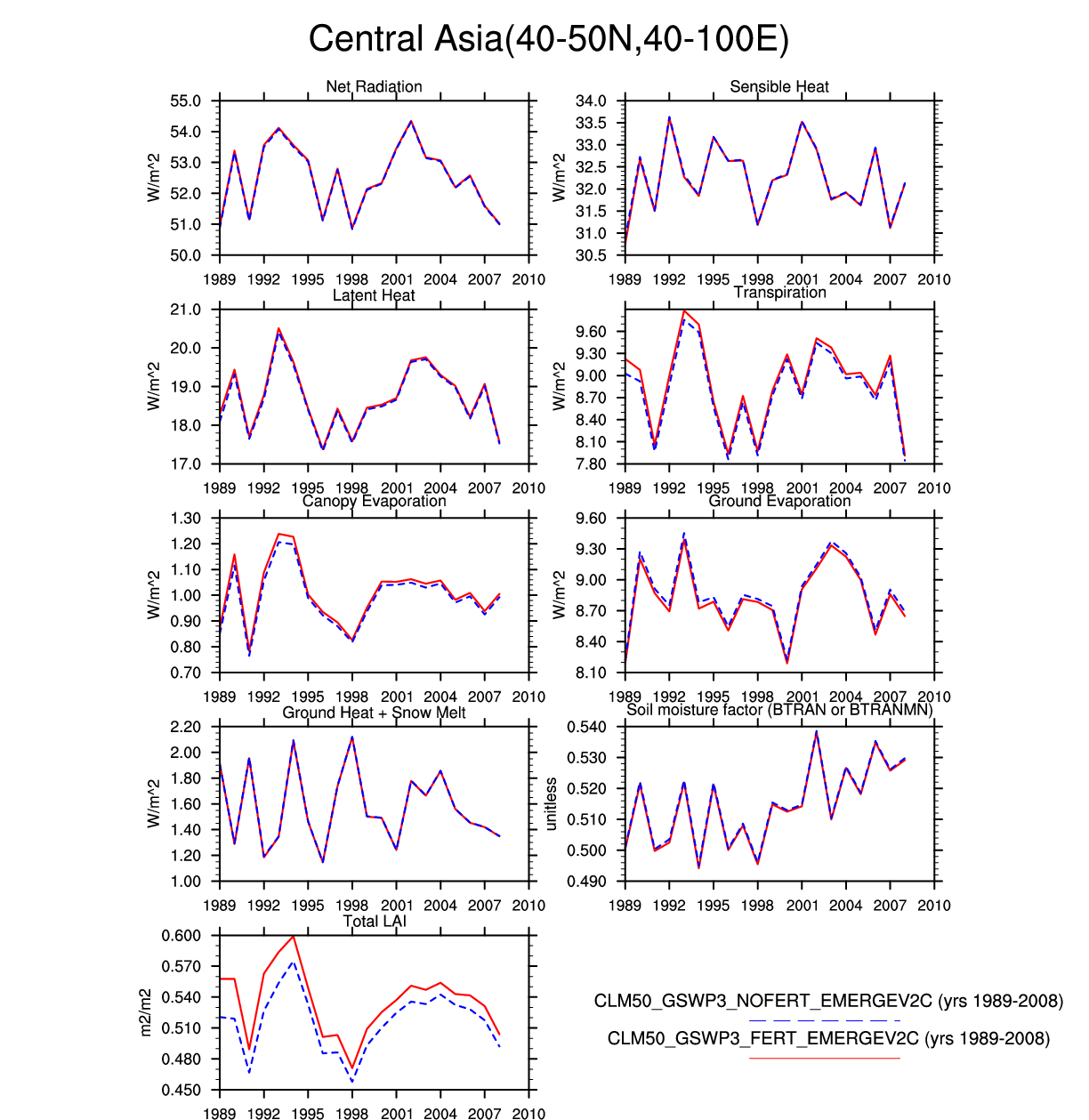
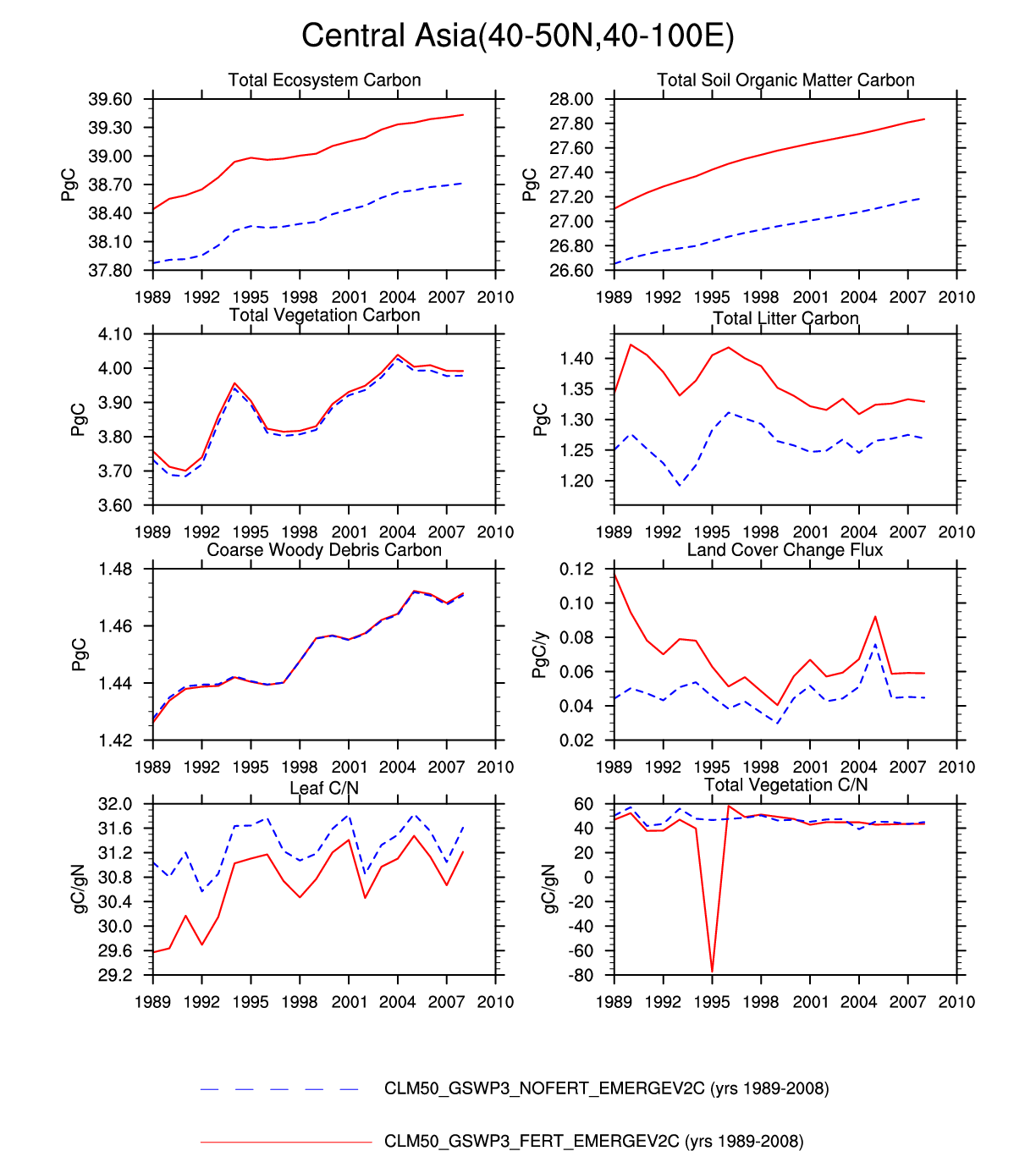
| Central Asia | map | plot | -- | plot | -- | -- | plot | -- | -- | -- | -- | plot | plot |
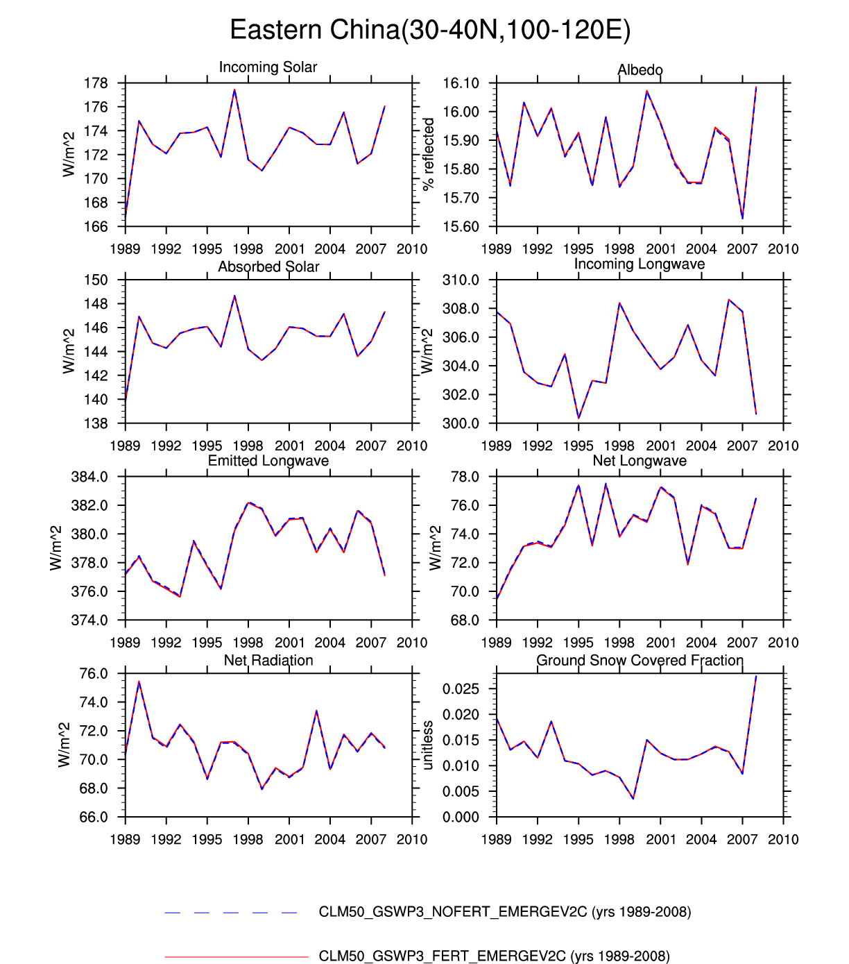
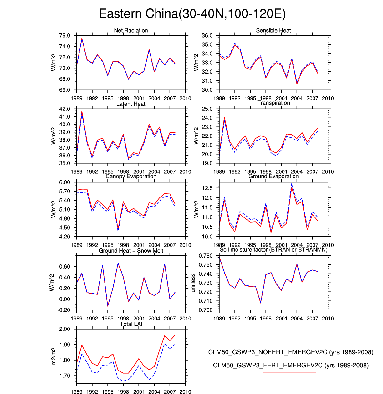
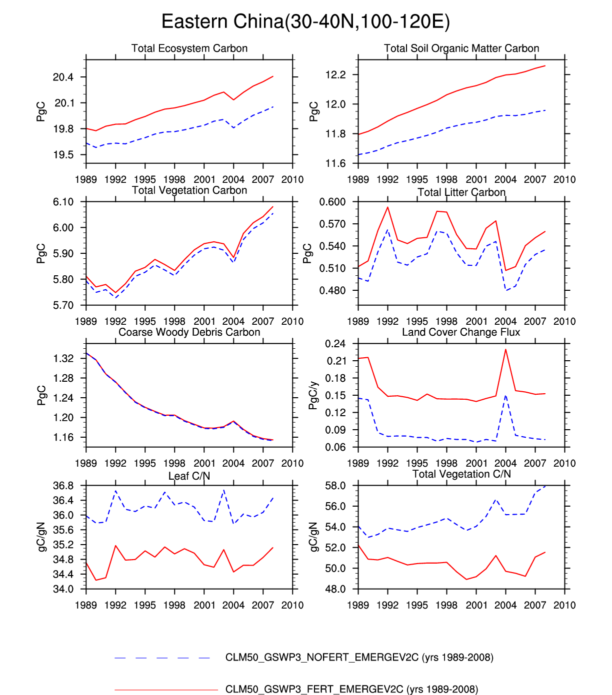
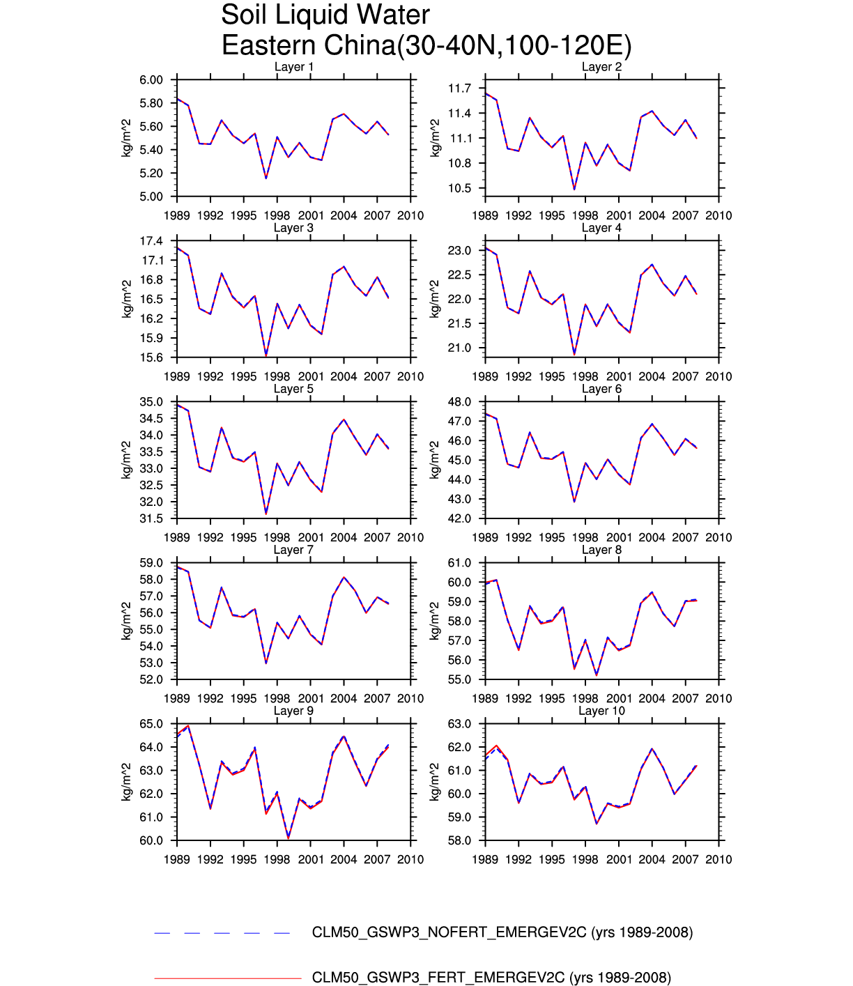
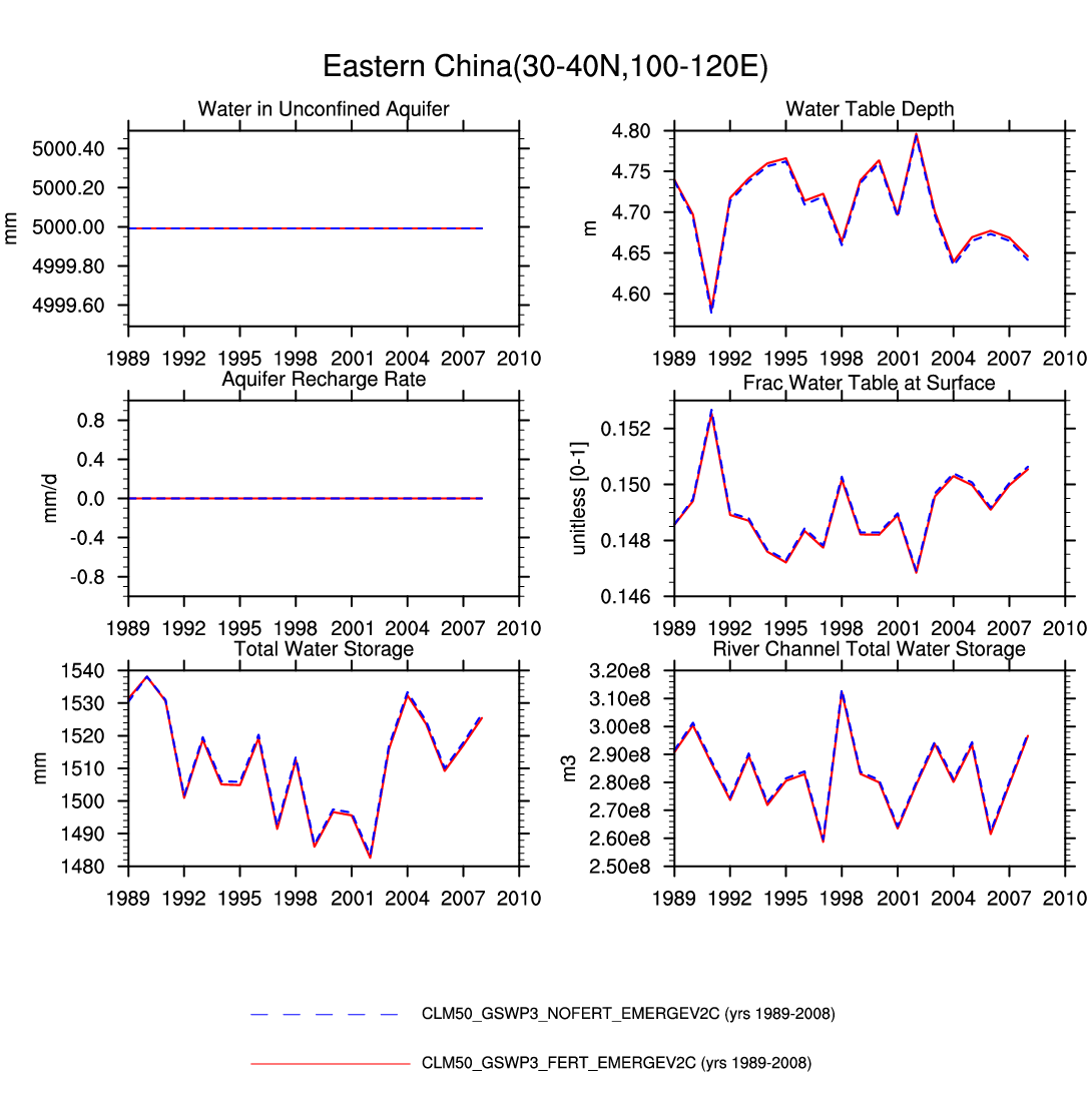
| Eastern China | -- | -- | plot | plot | plot | -- | plot | -- | plot | -- | -- | -- | plot |
| Mediterranean and Western Asia | -- | -- | plot | plot | plot | -- | -- | plot | -- | -- | -- | -- | -- |
| Central and Eastern Mongolia and NE China | -- | -- | -- | -- | -- | -- | -- | -- | -- | -- | -- | -- | -- |
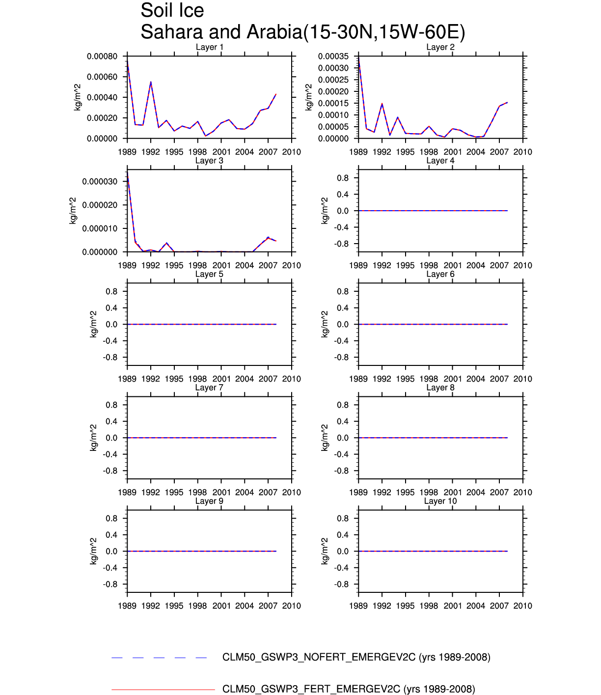
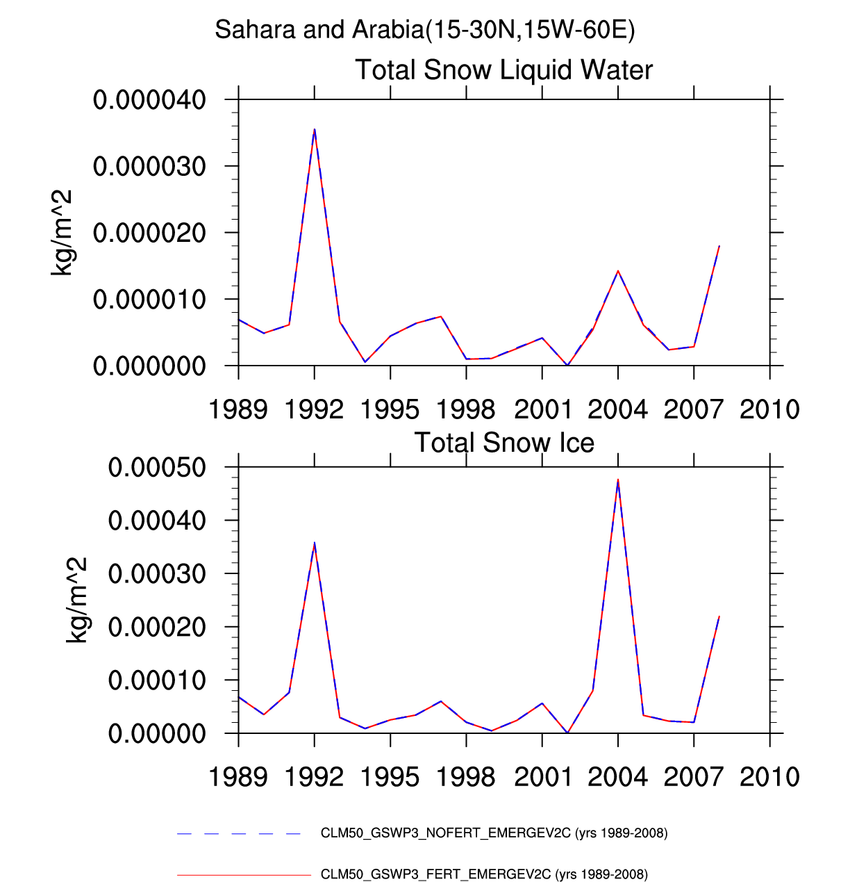
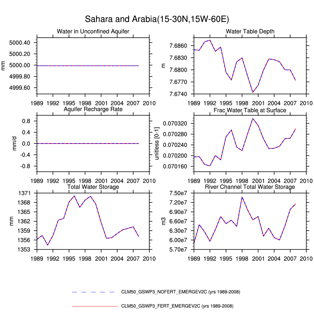
| Sahara Desert and Arabian Peninsula | -- | -- | -- | -- | -- | plot | -- | -- | plot | plot | -- | plot | plot |
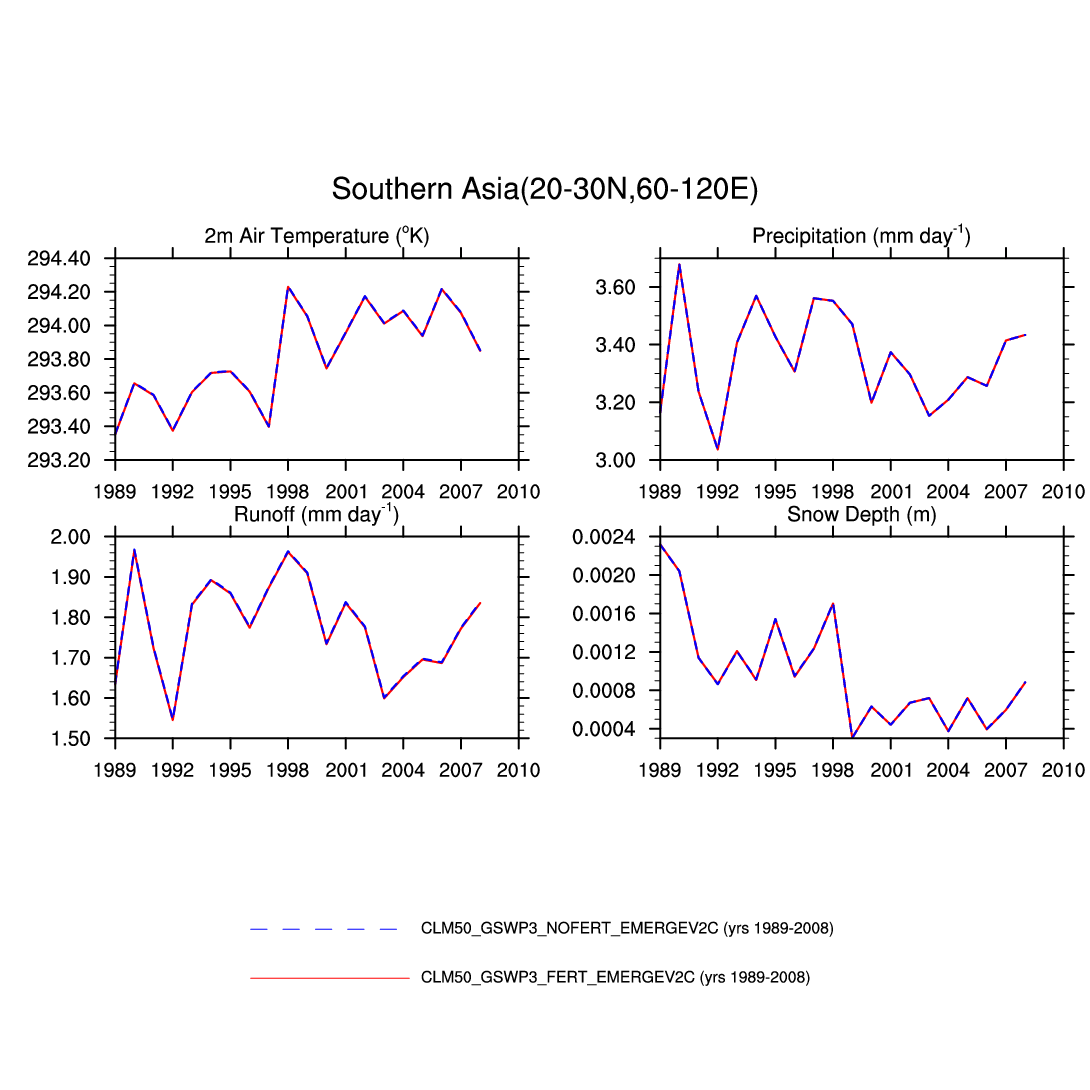
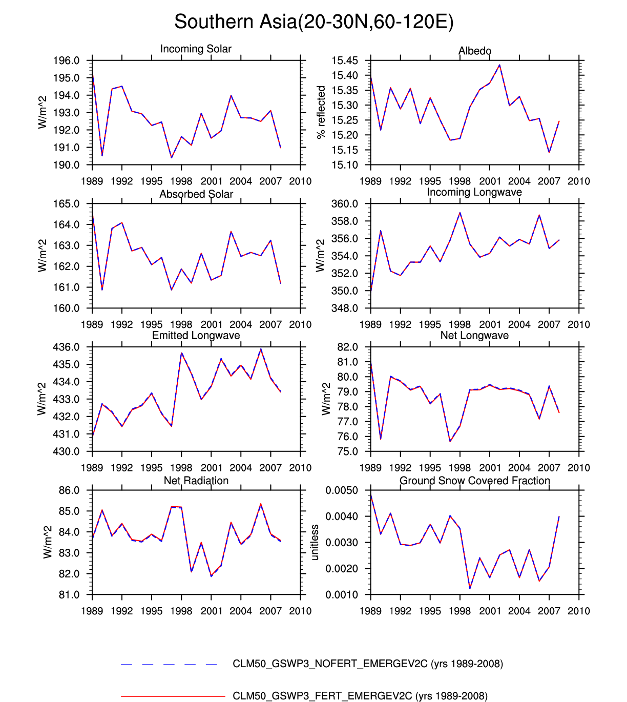
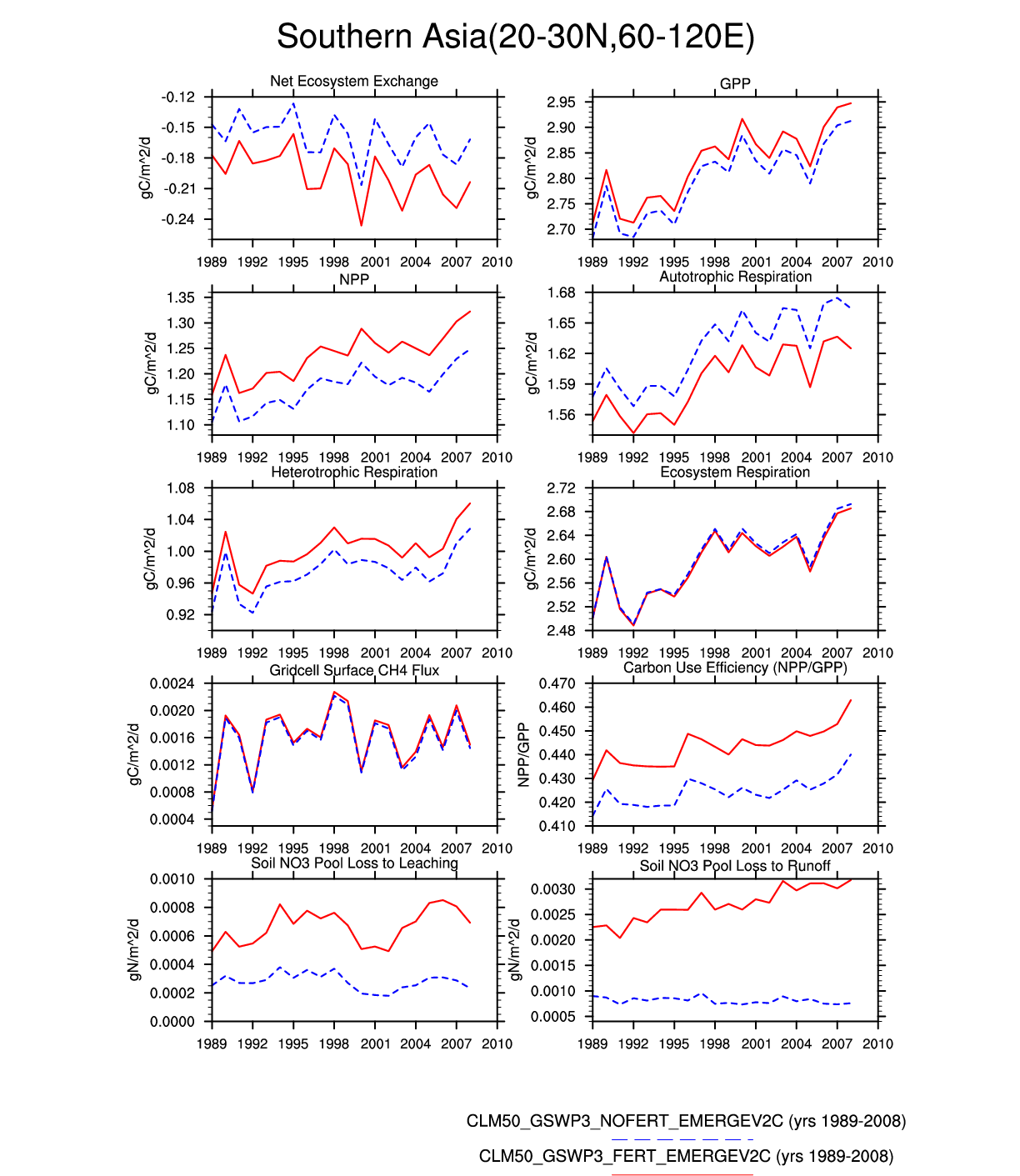
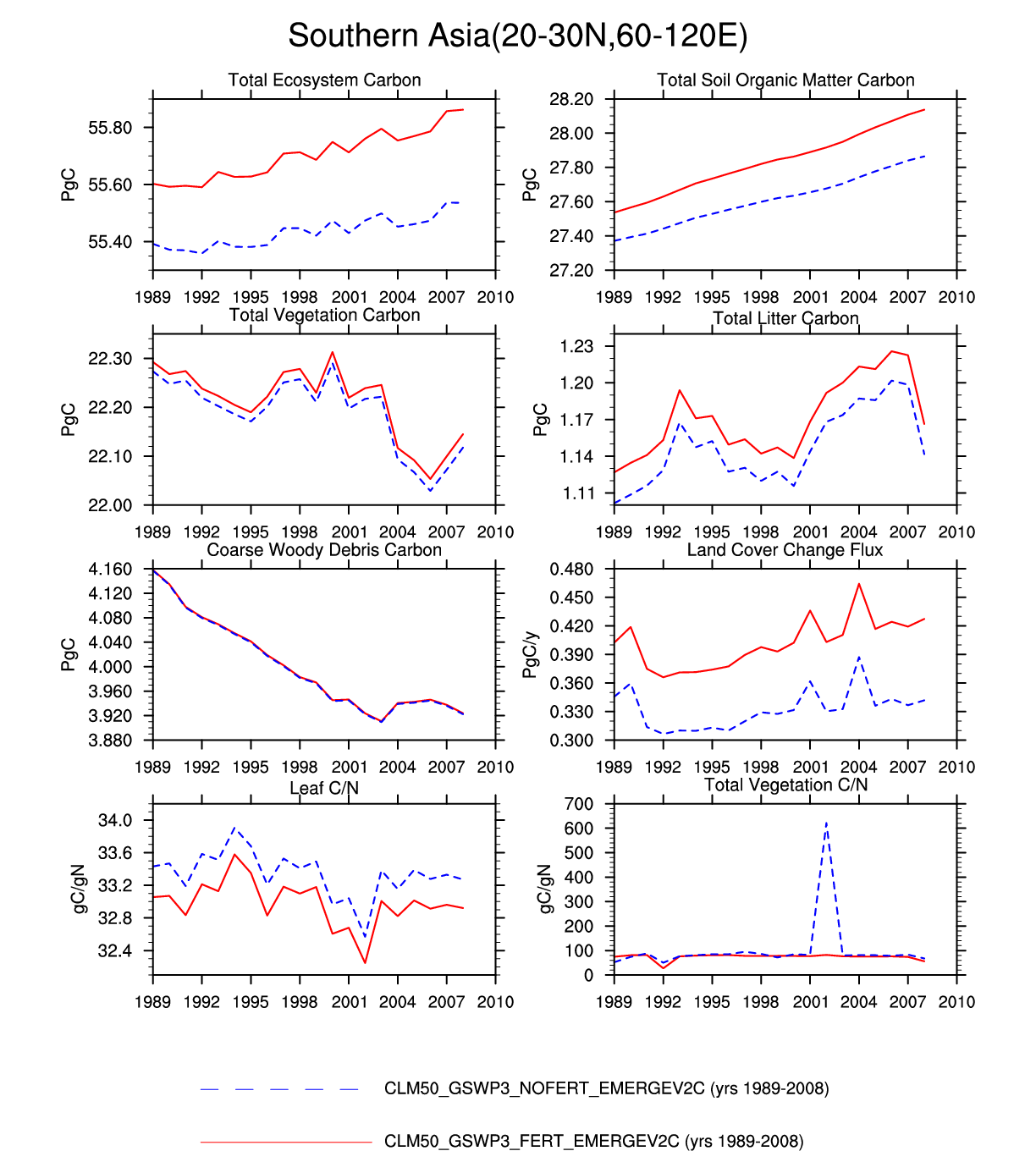
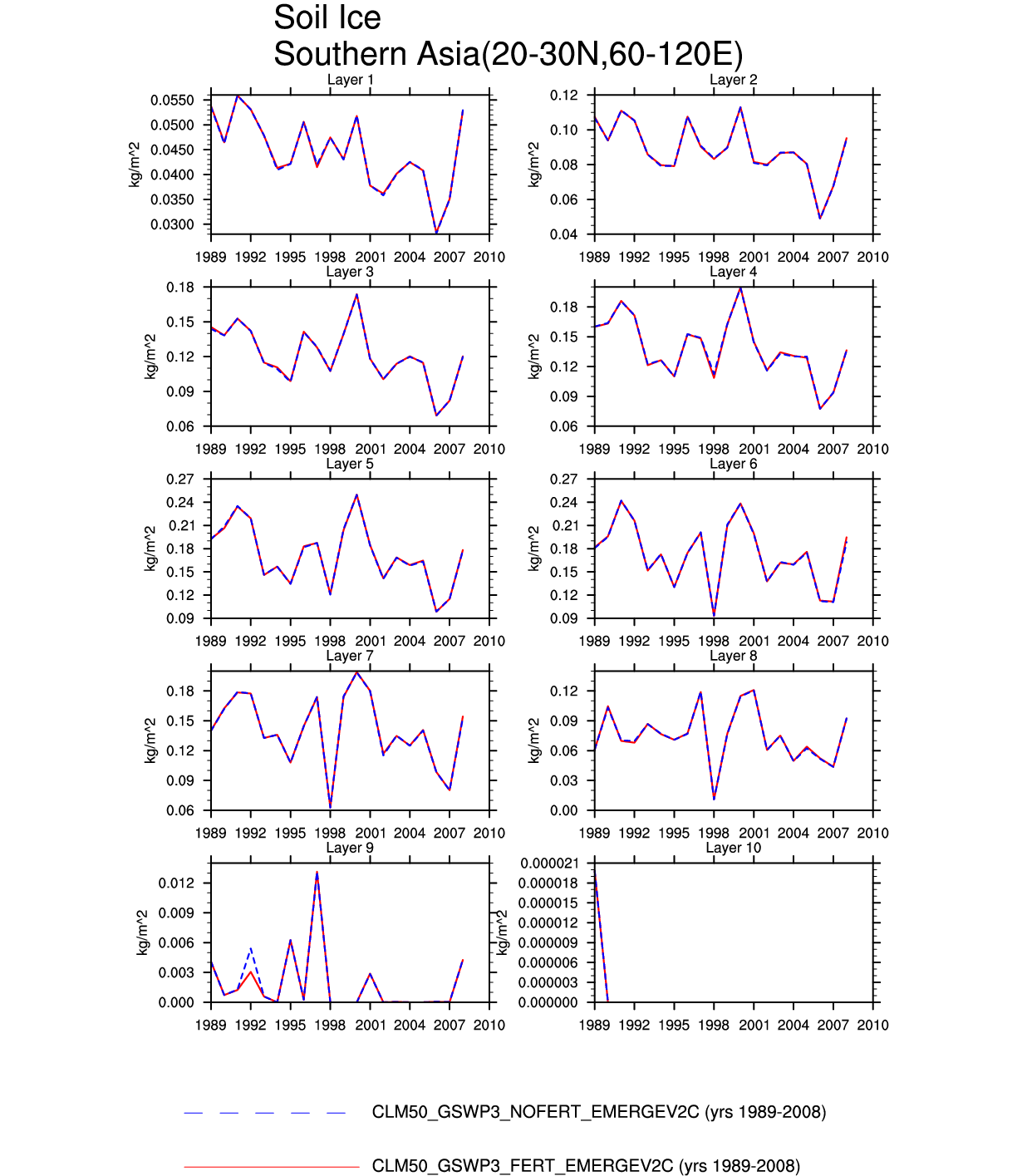
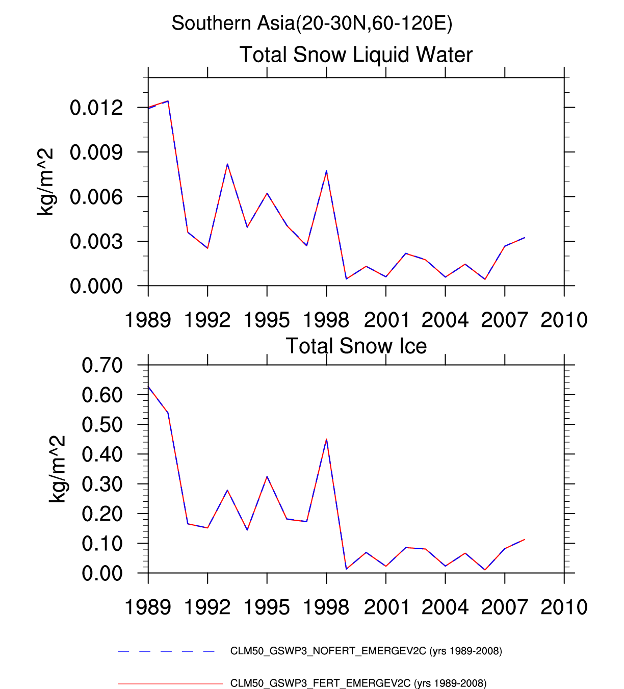
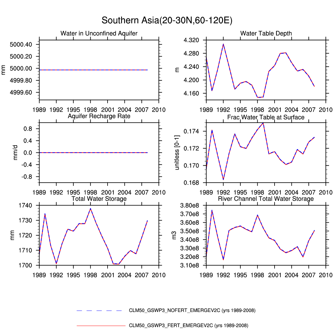
| Southern Asia | -- | plot | plot | -- | plot | -- | plot | -- | -- | plot | -- | plot | plot |
| Tibetan_Plateau | map | plot | -- | -- | -- | -- | plot | plot | -- | plot | -- | plot | -- |