Mean State
Download Data |
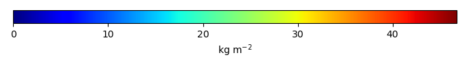
Period Mean (original grids) [Pg] |
Model Period Mean (intersection) [Pg] |
Benchmark Period Mean (intersection) [Pg] |
Model Period Mean (complement) [Pg] |
Benchmark Period Mean (complement) [Pg] |
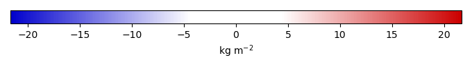
Bias [kg m-2] |
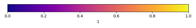
Bias Score [1] |
Spatial Distribution Score [1] |
Overall Score [1] |
|||
|---|---|---|---|---|---|---|---|---|---|---|---|---|
| Benchmark | [-] | 1.05e+03 | ||||||||||
| CLM50 | [-] | 1.07e+03 | 703. | 1.02e+03 | 366. | 23.7 | -1.94 | 0.589 | 0.794 | 0.692 | ||
| CTSM51 | [-] | 1.19e+03 | 726. | 1.02e+03 | 459. | 23.7 | -1.74 | 0.586 | 0.790 | 0.688 |
Temporally integrated period mean